
| Memorials | : | 0 |
| Location | : | Tingewick, Aylesbury Vale District, England |
| Coordinate | : | 51.9919690, -1.0432400 |
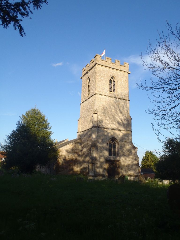
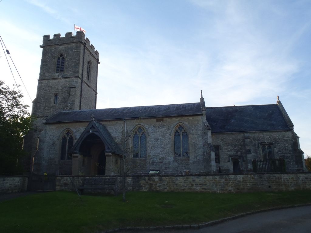
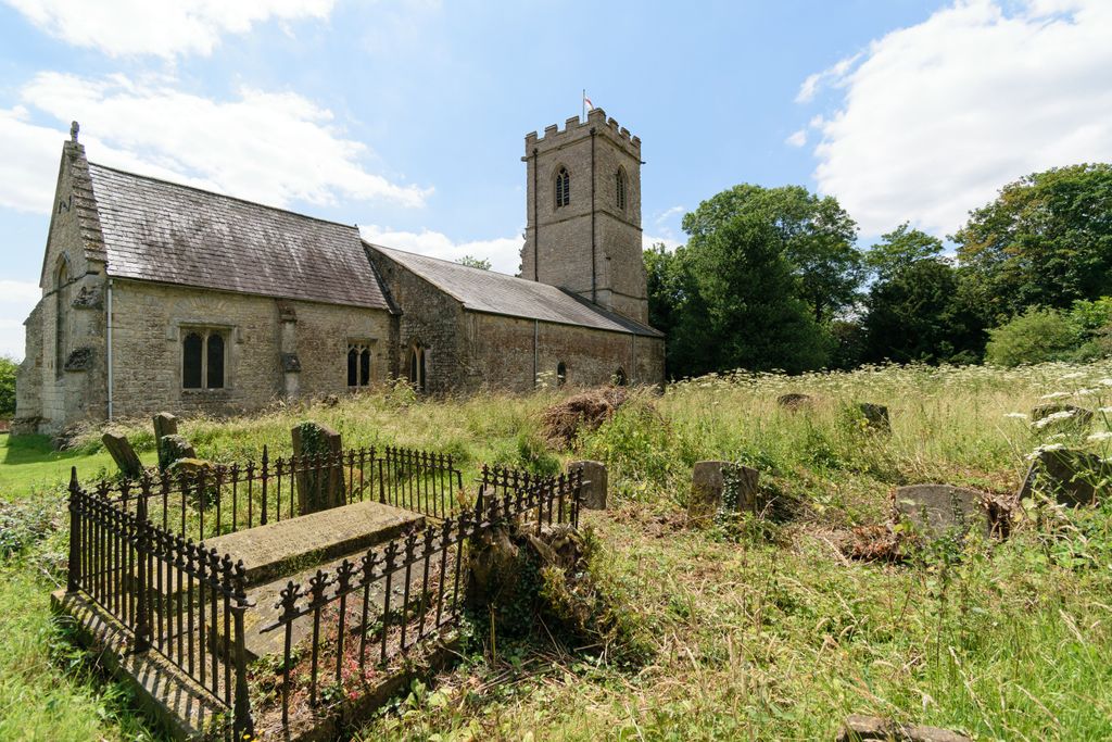
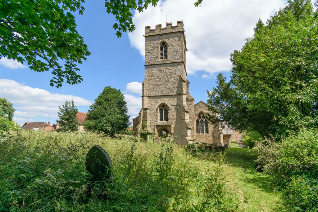
| Description | : | Tingewick is a village and civil parish about 2.5 miles (4.0 km) west of Buckingham in the Aylesbury Vale district of Buckinghamshire, England. The parish is bounded to the north by the River Great Ouse, to the east by a tributary of the Great Ouse, to the west by the county boundary with Oxfordshire and to the south by field boundaries. The churchyard was closed to burials in 1893 |
frequently asked questions (FAQ):
-
Where is St. Mary's Churchyard?
St. Mary's Churchyard is located at Church Lane Tingewick, Aylesbury Vale District ,Buckinghamshire ,England.
-
St. Mary's Churchyard cemetery's updated grave count on graveviews.com?
0 memorials
-
Where are the coordinates of the St. Mary's Churchyard?
Latitude: 51.9919690
Longitude: -1.0432400
Nearby Cemetories:
1. Tingewick Cemetery
Tingewick, Aylesbury Vale District, England
Coordinate: 51.9917800, -1.0514420
2. Saint John the Evangelist Churchyard
Buckingham, Aylesbury Vale District, England
Coordinate: 51.9996500, -1.0174090
3. St. Michael and All Angels
Finmere, Cherwell District, England
Coordinate: 51.9931740, -1.0740240
4. St. Giles' Churchyard
Water Stratford, Aylesbury Vale District, England
Coordinate: 52.0136475, -1.0515046
5. Holy Trinity Churchyard
Gawcott-with-Lenborough, Aylesbury Vale District, England
Coordinate: 51.9809000, -1.0114000
6. St James Churchyard
Barton Harthshorn, Aylesbury Vale District, England
Coordinate: 51.9730300, -1.0686650
7. St. John the Baptist Churchyard
Preston Bissett, Aylesbury Vale District, England
Coordinate: 51.9637380, -1.0440980
8. Buckingham Cemetery
Buckingham, Aylesbury Vale District, England
Coordinate: 52.0011610, -0.9962420
9. Church of the Assumption of Blessed Virgin Mary
Stowe, Aylesbury Vale District, England
Coordinate: 52.0182720, -1.0174270
10. Old St Peter and St Paul Churchyard
Buckingham, Aylesbury Vale District, England
Coordinate: 51.9966610, -0.9908980
11. Ss Mary and Nicholas Churchyard
Chetwode, Aylesbury Vale District, England
Coordinate: 51.9630520, -1.0694610
12. Saint Peter and Saint Paul Churchyard
Buckingham, Aylesbury Vale District, England
Coordinate: 51.9981040, -0.9893520
13. St. Edward the Confessor Churchyard
Shalstone, Aylesbury Vale District, England
Coordinate: 52.0225079, -1.0666653
14. St Michael & All Angels Churchyard
Newton Purcell, Cherwell District, England
Coordinate: 51.9723110, -1.0915630
15. Friends Meeting House Burial Ground
Buckingham, Aylesbury Vale District, England
Coordinate: 52.0017400, -0.9867000
16. St. Augustine's Churchyard
Westbury, Aylesbury Vale District, England
Coordinate: 52.0154200, -1.0941150
17. All Saints Churchyard
Hillesden, Aylesbury Vale District, England
Coordinate: 51.9582028, -1.0045972
18. Mixbury All Saints Churchyard
Mixbury, Cherwell District, England
Coordinate: 52.0010100, -1.1131800
19. St. Edmund's Churchyard
Maids Moreton, Aylesbury Vale District, England
Coordinate: 52.0104310, -0.9722660
20. Holy Trinity
Godington, Cherwell District, England
Coordinate: 51.9452700, -1.0667470
21. Assumption of BVM Churchyard
Twyford, Aylesbury Vale District, England
Coordinate: 51.9345860, -1.0341060
22. St Leonard's Churchyard
Foscote, Aylesbury Vale District, England
Coordinate: 52.0154000, -0.9571000
23. St Michaels and All Angels Churchyard
Fringford, Cherwell District, England
Coordinate: 51.9573680, -1.1189880
24. St Marys Churchyard
Padbury, Aylesbury Vale District, England
Coordinate: 51.9720660, -0.9512940