
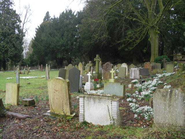
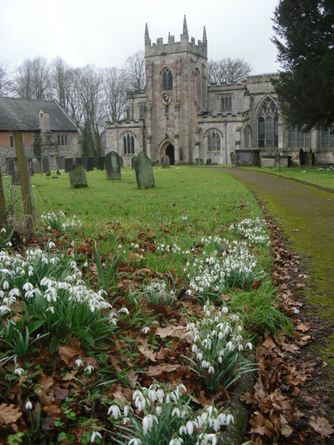
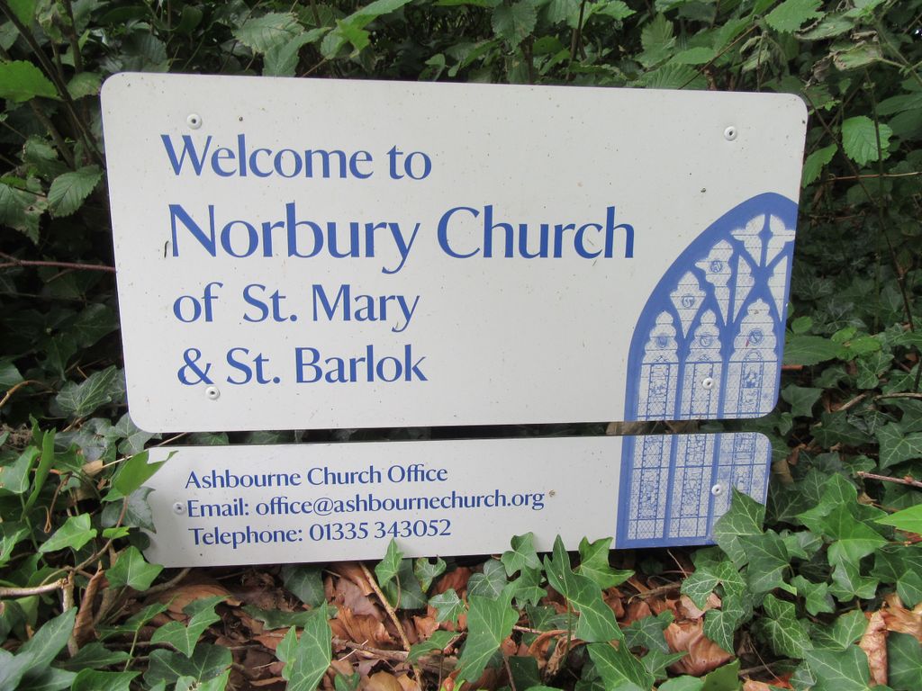
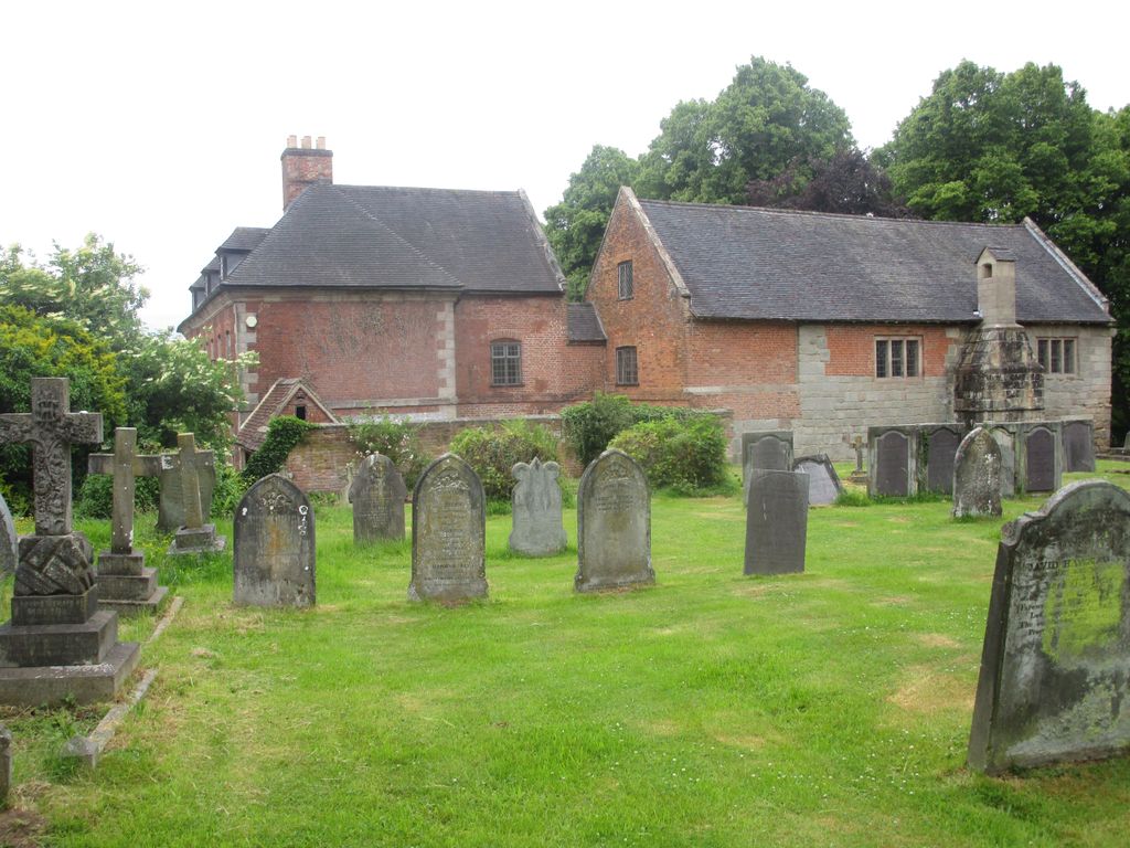
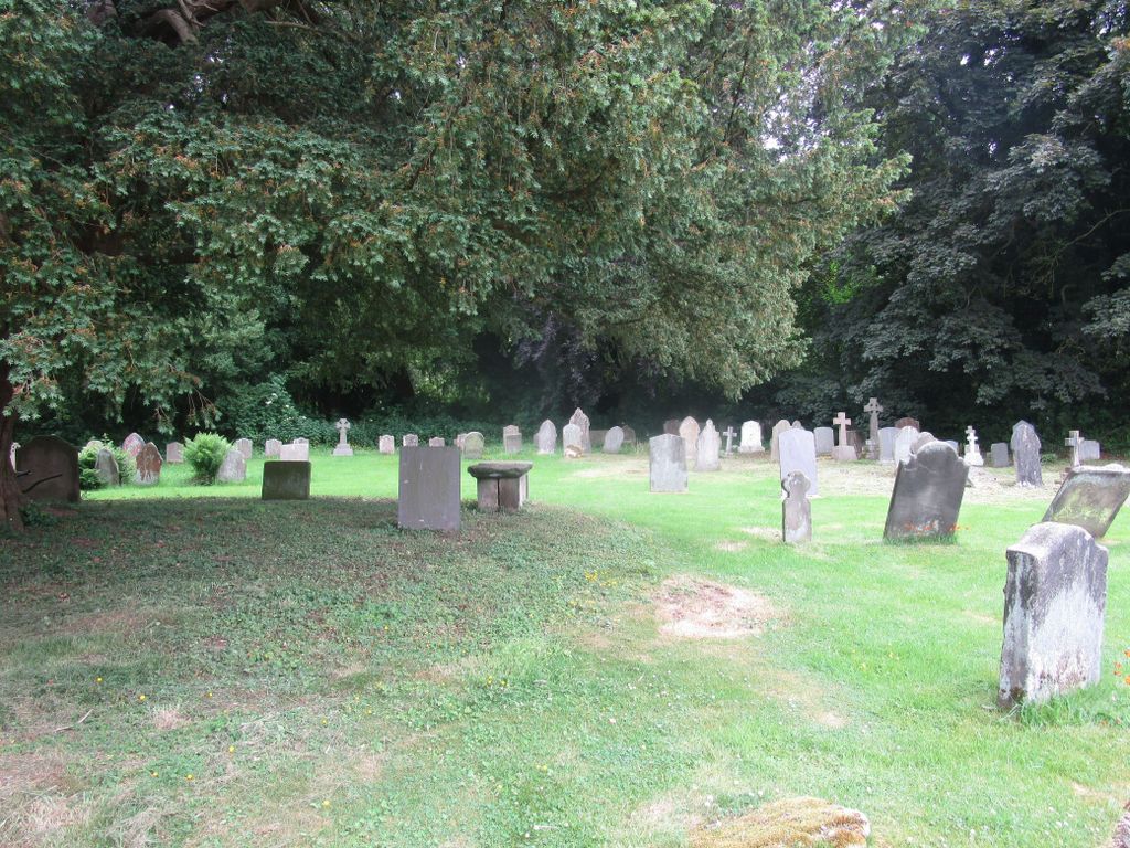
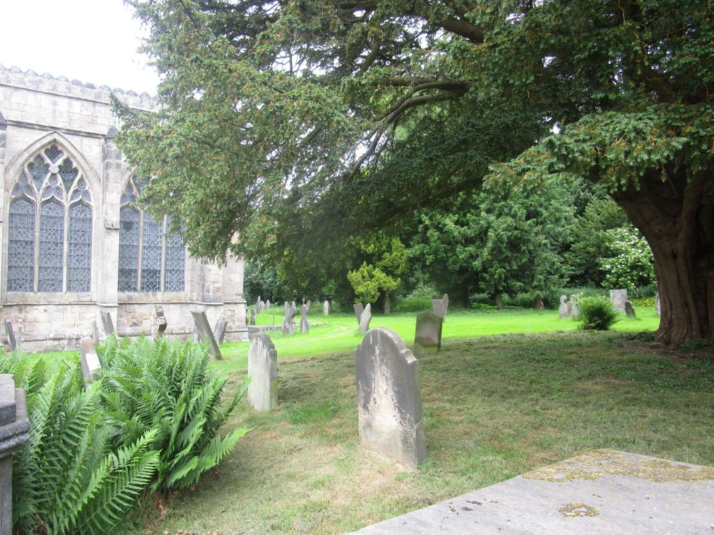
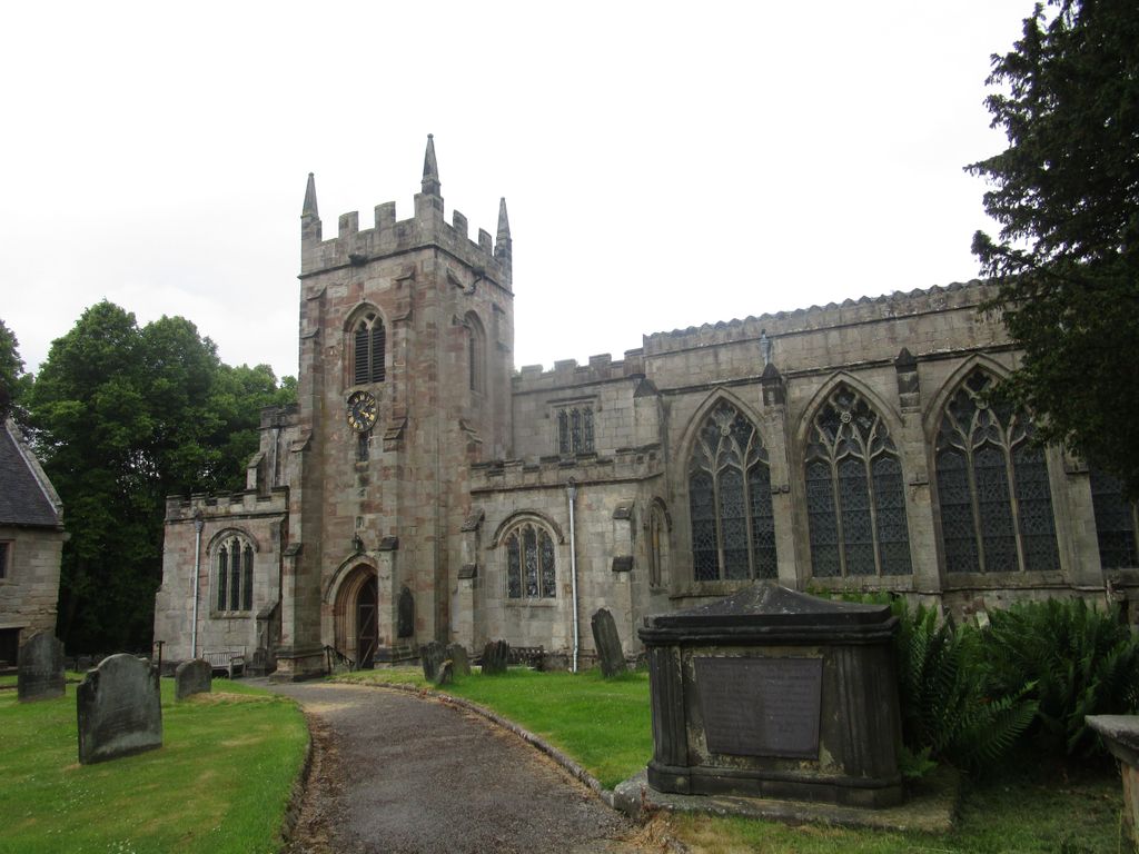
| Memorials | : | 0 |
| Location | : | Norbury, Derbyshire Dales District, England |
| Coordinate | : | 52.9787350, -1.8146430 |
frequently asked questions (FAQ):
-
Where is St. Mary and St. Barlock Churchyard?
St. Mary and St. Barlock Churchyard is located at Norbury, Derbyshire Dales District ,Derbyshire ,England.
-
St. Mary and St. Barlock Churchyard cemetery's updated grave count on graveviews.com?
0 memorials
-
Where are the coordinates of the St. Mary and St. Barlock Churchyard?
Latitude: 52.9787350
Longitude: -1.8146430


Nearby Cemetories:
1. Saint Peter's Cemetery
Ellastone, East Staffordshire Borough, England
Coordinate: 52.9882900, -1.8275000
2. St. Peter's Churchyard
Snelston, Derbyshire Dales District, England
Coordinate: 52.9871570, -1.7700260
3. St. Mary's Churchyard
Stanton, East Staffordshire Borough, England
Coordinate: 53.0109590, -1.8136560
4. St. John the Baptist Churchyard
Mayfield, East Staffordshire Borough, England
Coordinate: 52.9998700, -1.7716970
5. St. Giles Churchyard
Marston Montgomery, Derbyshire Dales District, England
Coordinate: 52.9382120, -1.8007610
6. Holy Trinity Churchyard
Clifton, Derbyshire Dales District, England
Coordinate: 53.0002710, -1.7545890
7. St. Peter's Churchyard
Alton, Staffordshire Moorlands District, England
Coordinate: 52.9783470, -1.8918600
8. St John Churchyard
Alton, Staffordshire Moorlands District, England
Coordinate: 52.9783380, -1.8919190
9. St. James' Churchyard
Edlaston, Derbyshire Dales District, England
Coordinate: 52.9811080, -1.7316130
10. Ashbourne Cemetery
Ashbourne, Derbyshire Dales District, England
Coordinate: 53.0109900, -1.7482450
11. St Oswald Churchyard
Ashbourne, Derbyshire Dales District, England
Coordinate: 53.0149220, -1.7386720
12. Yeaveley Cemetery
Yeaveley, Derbyshire Dales District, England
Coordinate: 52.9552050, -1.7250170
13. Croxden Abbey
Croxden, East Staffordshire Borough, England
Coordinate: 52.9549890, -1.9042630
14. All Saints Church
Okeover, East Staffordshire Borough, England
Coordinate: 53.0302050, -1.7650989
15. St Leonard Churchyard
Bradley in the Moors, Staffordshire Moorlands District, England
Coordinate: 52.9693440, -1.9135150
16. Mapleton, St Mary
Ashbourne, Derbyshire Dales District, England
Coordinate: 53.0294190, -1.7544910
17. St. Mary's Churchyard
Mappleton, Derbyshire Dales District, England
Coordinate: 53.0294920, -1.7542220
18. St. Bartholomew's Churchyard
Blore, Derbyshire Dales District, England
Coordinate: 53.0408190, -1.7967020
19. Saint Bartholomew Churchyard
Blore, Staffordshire Moorlands District, England
Coordinate: 53.0411100, -1.7963100
20. St. John the Baptist Churchyard
Cotton, Staffordshire Moorlands District, England
Coordinate: 53.0150546, -1.9026792
21. St. John's Churchyard
Alkmonton, Derbyshire Dales District, England
Coordinate: 52.9438800, -1.7229970
22. St. Martin Churchyard
Osmaston, Derbyshire Dales District, England
Coordinate: 52.9930270, -1.7042370
23. Holy Trinity Churchyard
Oakamoor, Staffordshire Moorlands District, England
Coordinate: 53.0003870, -1.9236580
24. Dove Evangelical Free Church, Somersal Herbert
Doveridge, Derbyshire Dales District, England
Coordinate: 52.9109200, -1.7905560