
| Memorials | : | 0 |
| Location | : | Lytchett Minster, Purbeck District, England |
| Website | : | www.tapperfuneralservice.co.uk/harbour-view |
| Coordinate | : | 50.7507040, -2.0434430 |
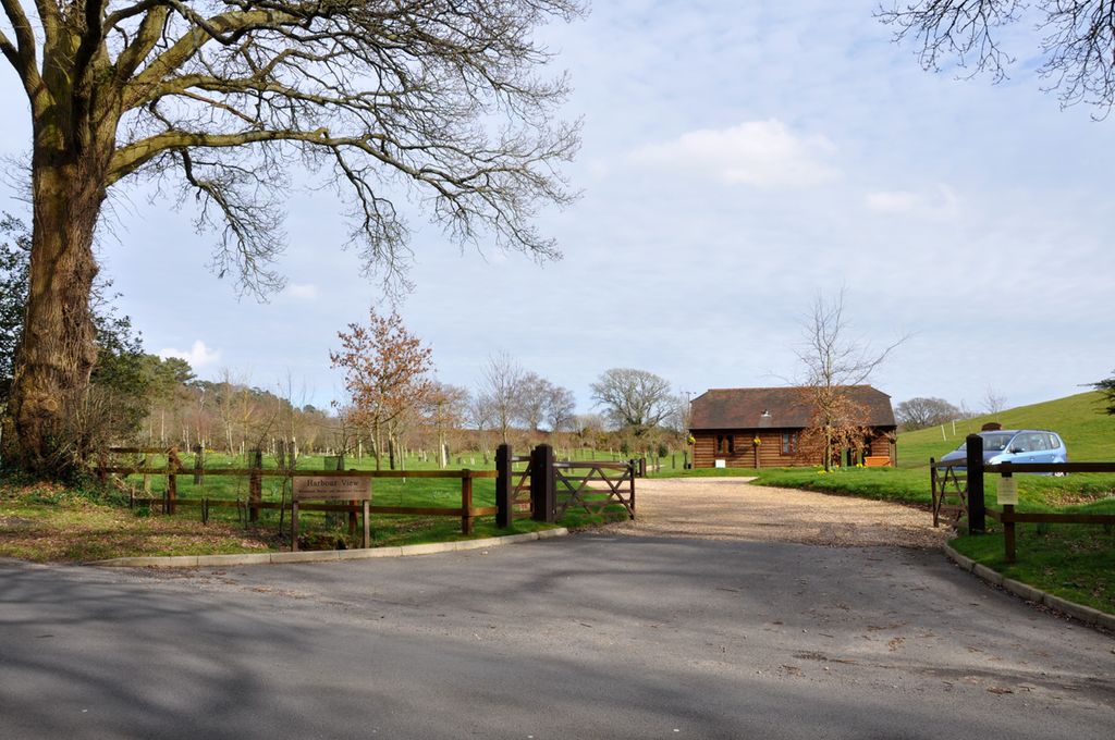
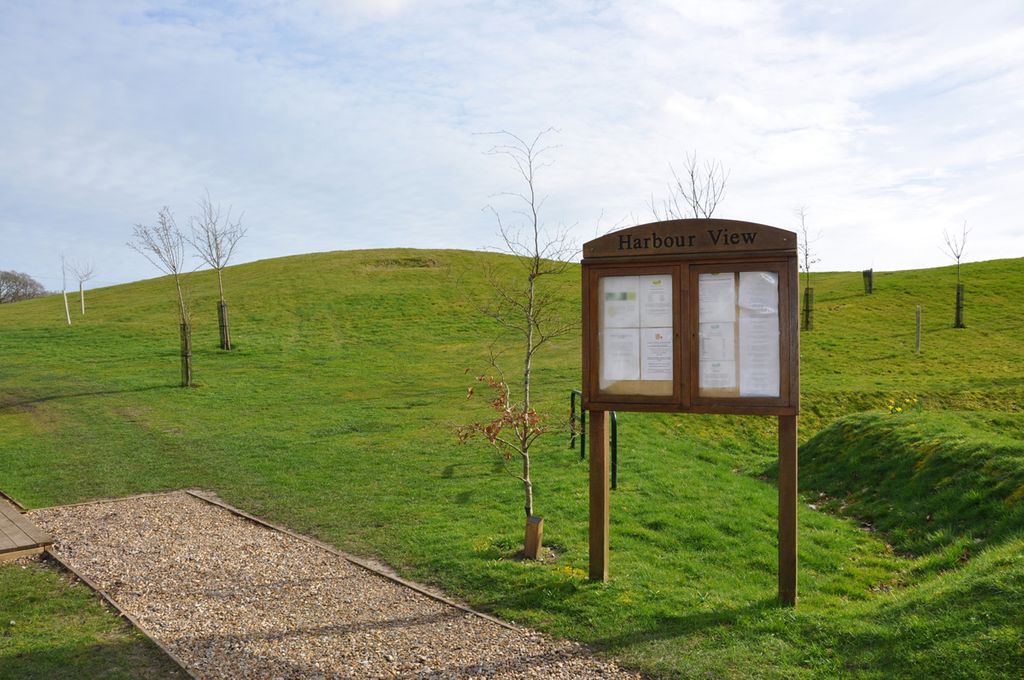
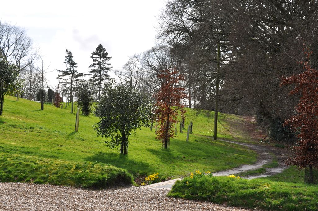
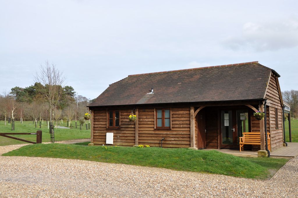
| Description | : | An eco-friendly burial ground in complete harmony with nature, with views across Lytchett Bay and the Purbeck hills. |
frequently asked questions (FAQ):
-
Where is Harbour View Woodland Burial Ground?
Harbour View Woodland Burial Ground is located at Harbour Lodge, Randalls Hill, Lytchett Minster, Purbeck District ,Dorset , BH16 6ANEngland.
-
Harbour View Woodland Burial Ground cemetery's updated grave count on graveviews.com?
0 memorials
-
Where are the coordinates of the Harbour View Woodland Burial Ground?
Latitude: 50.7507040
Longitude: -2.0434430
Nearby Cemetories:
1. Upton Cemetery
Upton, Purbeck District, England
Coordinate: 50.7436900, -2.0348970
2. Lytchett Minster Parish Churchyard
Lytchett Minster, Purbeck District, England
Coordinate: 50.7372870, -2.0573970
3. Lytchett Minster United Reformed Church
Lytchett Minster, Purbeck District, England
Coordinate: 50.7346300, -2.0622130
4. Corfe Mullen Cemetery
Corfe Mullen, East Dorset District, England
Coordinate: 50.7787500, -2.0177600
5. St John the Baptist Churchyard
Broadstone, Poole Unitary Authority, England
Coordinate: 50.7620490, -1.9933870
6. Corfe Mullen Church Cemetery
Corfe Mullen, East Dorset District, England
Coordinate: 50.7848260, -2.0344940
7. St. Michael's Churchyard
Hamworthy, Poole Unitary Authority, England
Coordinate: 50.7199660, -2.0099190
8. St. Mary's Churchyard
Lytchett Matravers, Purbeck District, England
Coordinate: 50.7698920, -2.0954700
9. Broadstone Cemetery
Broadstone, Poole Unitary Authority, England
Coordinate: 50.7651160, -1.9829030
10. Poole Crematorium
Broadstone, Poole Unitary Authority, England
Coordinate: 50.7664860, -1.9764920
11. St Mary's Church
East Morden, Purbeck District, England
Coordinate: 50.7597770, -2.1200990
12. Hunger Hill Burial Ground
Poole, Poole Unitary Authority, England
Coordinate: 50.7169428, -1.9852496
13. Charborough Church of St Mary
Morden, Purbeck District, England
Coordinate: 50.7803200, -2.1074500
14. St James Churchyard
Poole, Poole Unitary Authority, England
Coordinate: 50.7134850, -1.9897060
15. Poole Cemetery
Poole, Poole Unitary Authority, England
Coordinate: 50.7345060, -1.9642670
16. St. Mary's Churchyard
Poole, Poole Unitary Authority, England
Coordinate: 50.7226400, -1.9716790
17. St. Mary's Churchyard
Sturminster Marshall, East Dorset District, England
Coordinate: 50.8031270, -2.0709410
18. St. Clement's Church
Parkstone, Poole Unitary Authority, England
Coordinate: 50.7377830, -1.9534610
19. St. Cuthberga Churchyard
Wimborne Minster, East Dorset District, England
Coordinate: 50.7989260, -1.9880560
20. Wimborne Cemetery
Wimborne, East Dorset District, England
Coordinate: 50.8040910, -1.9942650
21. St. Peter's Church
Parkstone, Poole Unitary Authority, England
Coordinate: 50.7245590, -1.9533390
22. Canford Magna Civic Cemetery
Canford Magna, East Dorset District, England
Coordinate: 50.7845320, -1.9571820
23. St. Mary's Churchyard
Almer, North Dorset District, England
Coordinate: 50.7898010, -2.1246600
24. Branksome Cemetery
Parkstone, Poole Unitary Authority, England
Coordinate: 50.7362200, -1.9408200