
| Memorials | : | 0 |
| Location | : | Sturminster Marshall, East Dorset District, England |
| Coordinate | : | 50.8031270, -2.0709410 |
frequently asked questions (FAQ):
-
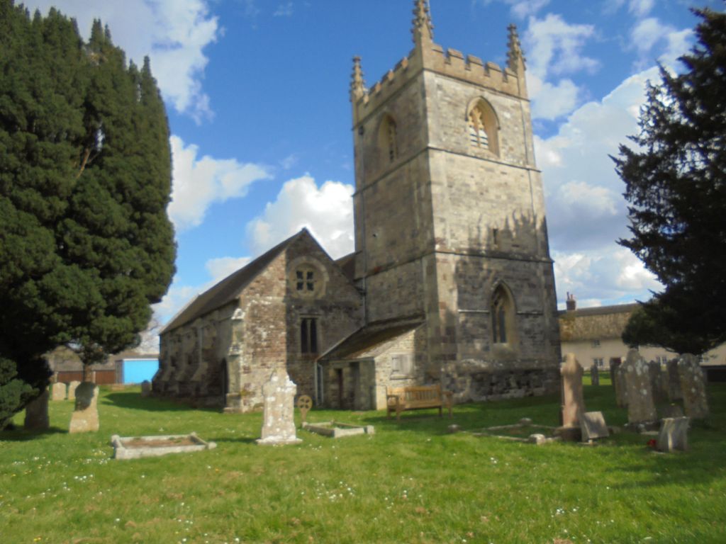
Where is St. Mary's Churchyard?
St. Mary's Churchyard is located at Sturminster Marshall, East Dorset District ,Dorset ,England.
-
St. Mary's Churchyard cemetery's updated grave count on graveviews.com?
0 memorials
-
Where are the coordinates of the St. Mary's Churchyard?
Latitude: 50.8031270
Longitude: -2.0709410

Nearby Cemetories:
1. Shapwick Parish Churchyard
Shapwick, East Dorset District, England
Coordinate: 50.8147360, -2.0914850
2. Corfe Mullen Church Cemetery
Corfe Mullen, East Dorset District, England
Coordinate: 50.7848260, -2.0344940
3. Charborough Church of St Mary
Morden, Purbeck District, England
Coordinate: 50.7803200, -2.1074500
4. St. Mary's Churchyard
Almer, North Dorset District, England
Coordinate: 50.7898010, -2.1246600
5. St. Mary's Churchyard
Lytchett Matravers, Purbeck District, England
Coordinate: 50.7698920, -2.0954700
6. St Mary The Virgin Churchyard
Tarrant Crawford, North Dorset District, England
Coordinate: 50.8307290, -2.1107000
7. All Saints Churchyard
Tarrant Keyneston, North Dorset District, England
Coordinate: 50.8359850, -2.1074200
8. Corfe Mullen Cemetery
Corfe Mullen, East Dorset District, England
Coordinate: 50.7787500, -2.0177600
9. St John the Baptist Churchyard
Spetisbury, North Dorset District, England
Coordinate: 50.8258000, -2.1300000
10. Wimborne Cemetery
Wimborne, East Dorset District, England
Coordinate: 50.8040910, -1.9942650
11. St Laurence Churchyard
Farnham, North Dorset District, England
Coordinate: 50.8475730, -2.1093750
12. St. Mary's Churchyard
Tarrant Rushton, North Dorset District, England
Coordinate: 50.8541050, -2.0899870
13. St. Cuthberga Churchyard
Wimborne Minster, East Dorset District, England
Coordinate: 50.7989260, -1.9880560
14. St. Mary's Churchyard
Winterborne Zelston, North Dorset District, England
Coordinate: 50.7786950, -2.1445870
15. St Mary's Church
East Morden, Purbeck District, England
Coordinate: 50.7597770, -2.1200990
16. Harbour View Woodland Burial Ground
Lytchett Minster, Purbeck District, England
Coordinate: 50.7507040, -2.0434430
17. St Mary the Virgin Churchyard
Charlton Marshall, North Dorset District, England
Coordinate: 50.8360900, -2.1427800
18. St. Kenelm Churchyard
Hinton Parva, East Dorset District, England
Coordinate: 50.8336300, -1.9949200
19. Poole and Wimborne Woodland Burial Ground
Wimborne, East Dorset District, England
Coordinate: 50.8097500, -1.9745150
20. Woodland Burial Ground
Colehill, East Dorset District, England
Coordinate: 50.8088100, -1.9737900
21. Witchampton Methodist Churchyard
Witchampton, East Dorset District, England
Coordinate: 50.8574990, -2.0205250
22. Upton Cemetery
Upton, Purbeck District, England
Coordinate: 50.7436900, -2.0348970
23. All Saints Churchyard
Witchampton, East Dorset District, England
Coordinate: 50.8574650, -2.0178710
24. St John the Baptist Churchyard
Broadstone, Poole Unitary Authority, England
Coordinate: 50.7620490, -1.9933870