
| Memorials | : | 0 |
| Location | : | Almondsbury, South Gloucestershire Unitary Authority, England |
| Coordinate | : | 51.5542300, -2.5733390 |
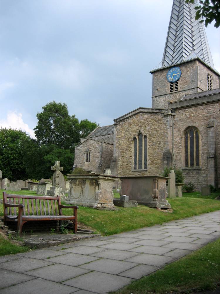
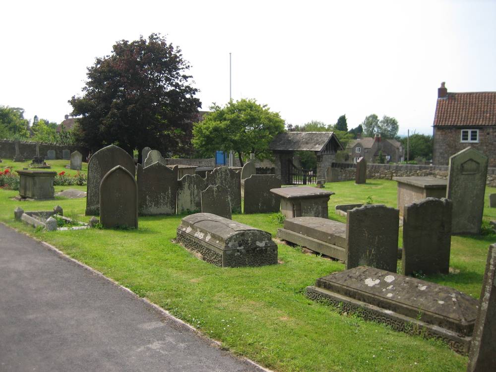
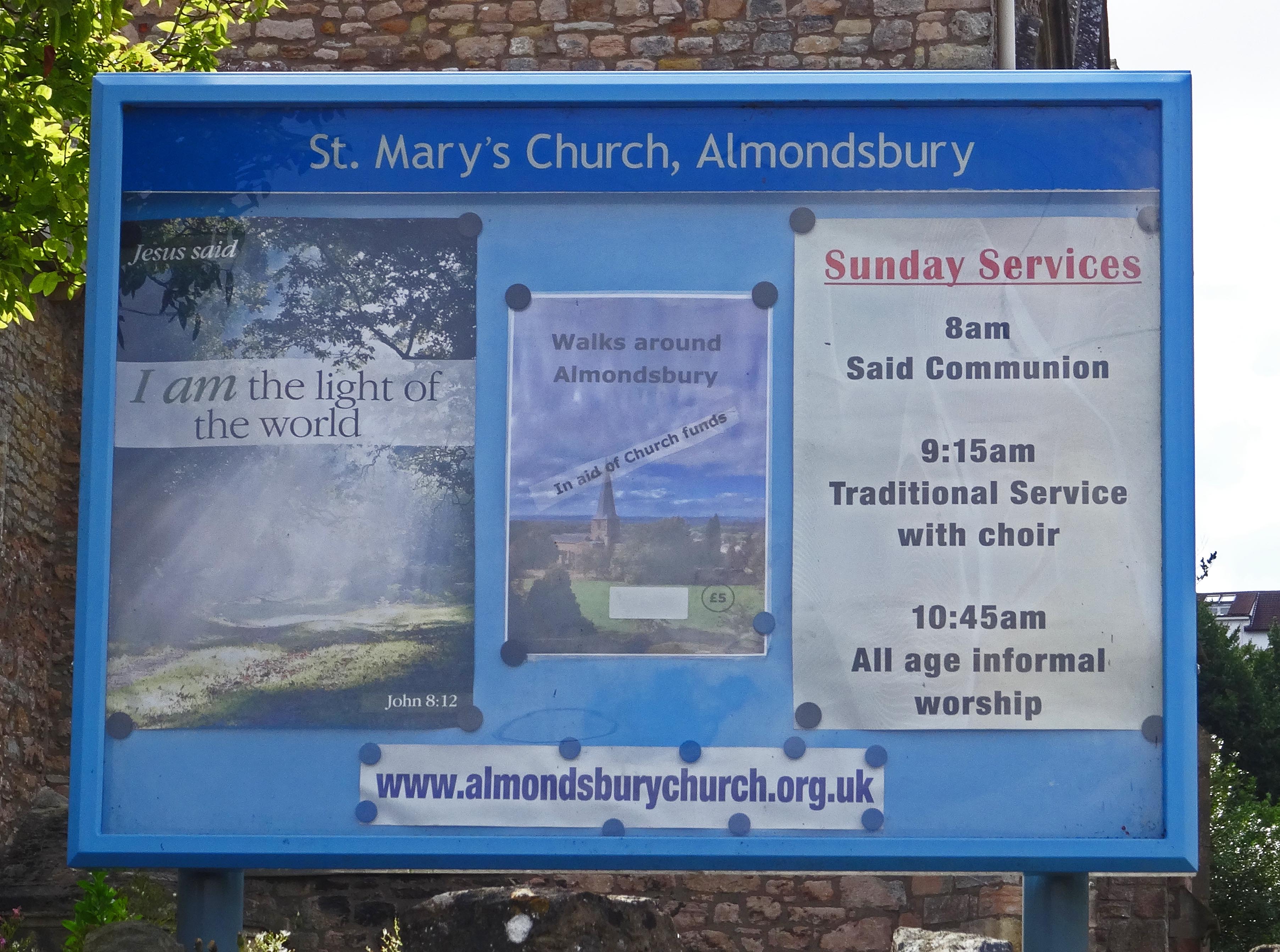
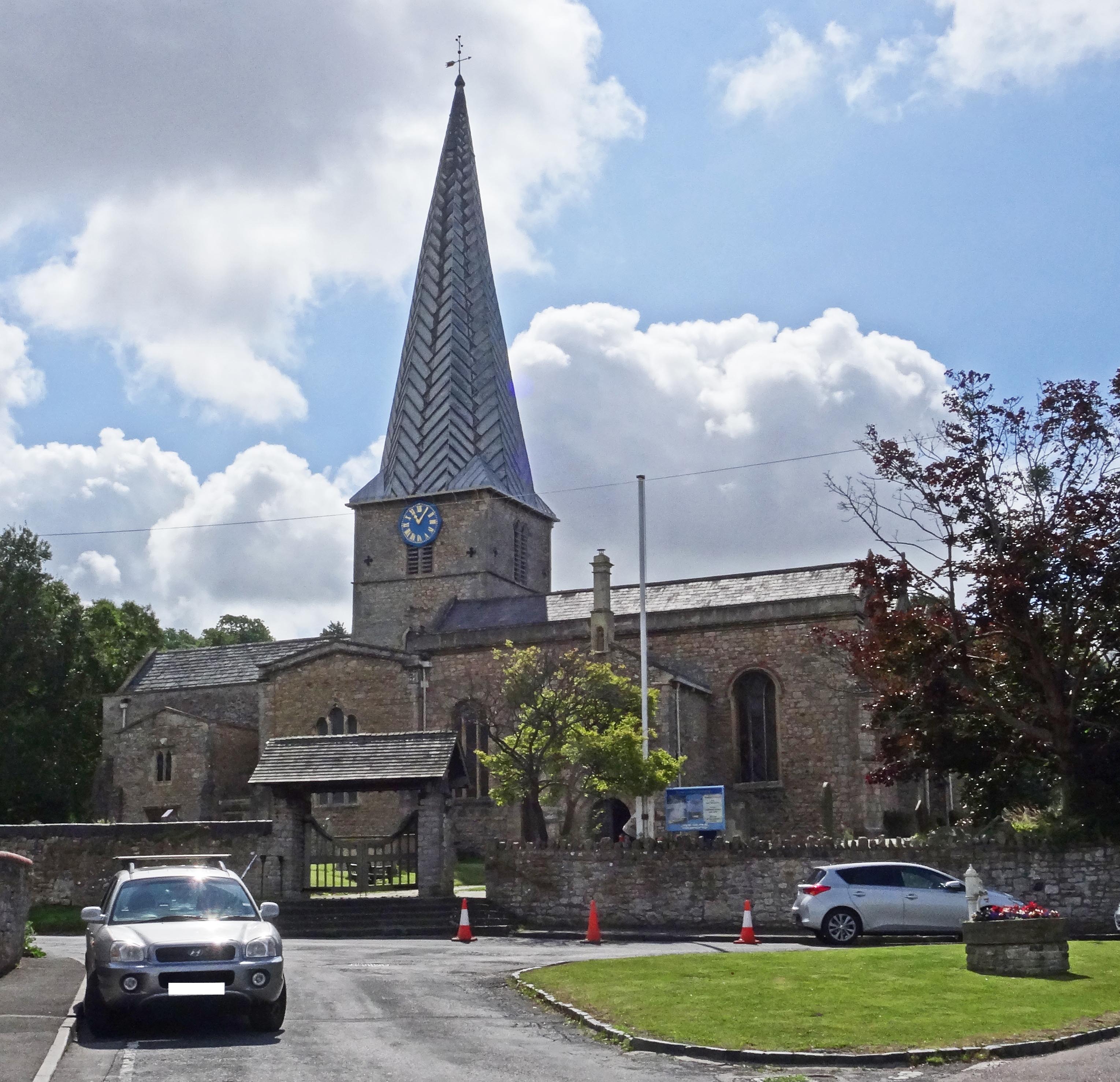
| Description | : | The St Mary's Churchyard is the burial grounds next to the St Mary's Anglican Church in Almondsbury, Gloucestershire, England. This Parish Church is part of the Diocese of Bristol of the Church of England, and has been a place of worship for at least eight centuries. Parts of the present church date back to the late Norman Period. The church today is active and remains a focus of community life in Almondsbury. The Almondsbury Parish Registers list burials that go back to at least the 1600s. |
frequently asked questions (FAQ):
-
Where is St Mary's Churchyard?
St Mary's Churchyard is located at Church Road Almondsbury, South Gloucestershire Unitary Authority ,Gloucestershire , BS32 4DTEngland.
-
St Mary's Churchyard cemetery's updated grave count on graveviews.com?
0 memorials
-
Where are the coordinates of the St Mary's Churchyard?
Latitude: 51.5542300
Longitude: -2.5733390
Nearby Cemetories:
1. Almondsbury Cemetery
Almondsbury, South Gloucestershire Unitary Authority, England
Coordinate: 51.5588230, -2.5760360
2. Almondsbury Cemetery
Bristol Unitary Authority, England
Coordinate: 51.5589695, -2.5768189
3. St. Mary the Virgin Churchyard
Olveston, South Gloucestershire Unitary Authority, England
Coordinate: 51.5828740, -2.5774290
4. All Saints Churchyard
Compton Greenfield, South Gloucestershire Unitary Authority, England
Coordinate: 51.5372800, -2.6201320
5. St Helen Churchyard
Alveston, South Gloucestershire Unitary Authority, England
Coordinate: 51.5850600, -2.5303380
6. St. Michael the Archangel Churchyard
Winterbourne, South Gloucestershire Unitary Authority, England
Coordinate: 51.5269000, -2.5183600
7. St Peter's Churchyard
Filton, South Gloucestershire Unitary Authority, England
Coordinate: 51.5102600, -2.5733100
8. Memorial Woodland Cemetery
Bristol Unitary Authority, England
Coordinate: 51.5754490, -2.5013060
9. Bristol Memorial Woodlands
Alveston, South Gloucestershire Unitary Authority, England
Coordinate: 51.5725340, -2.4983540
10. St. John's Churchyard
Aust, South Gloucestershire Unitary Authority, England
Coordinate: 51.5991080, -2.6186160
11. St Mary the Virgin Churchyard
Henbury, Bristol Unitary Authority, England
Coordinate: 51.5063210, -2.6306320
12. St Peter's Churchyard
Frampton Cotterell, South Gloucestershire Unitary Authority, England
Coordinate: 51.5359115, -2.4801320
13. Thornbury Cemetery
Thornbury, South Gloucestershire Unitary Authority, England
Coordinate: 51.6099460, -2.5323000
14. Mayshill Cemetery
South Gloucestershire Unitary Authority, England
Coordinate: 51.5562160, -2.4691663
15. St Mary the Virgin Parish Churchyard
Thornbury, South Gloucestershire Unitary Authority, England
Coordinate: 51.6132330, -2.5300090
16. Henbury Cemetery
Henbury, Bristol Unitary Authority, England
Coordinate: 51.5044590, -2.6414560
17. Holy Trinity Churchyard
Westbury-on-Trym, Bristol Unitary Authority, England
Coordinate: 51.4939840, -2.6160070
18. Holy Trinity Churchyard
Horfield, Bristol Unitary Authority, England
Coordinate: 51.4879930, -2.5893570
19. St John the Baptist Churchyard
Frenchay, South Gloucestershire Unitary Authority, England
Coordinate: 51.4947700, -2.5205810
20. Canford Cemetery and Crematorium
Westbury-on-Trym, Bristol Unitary Authority, England
Coordinate: 51.4946810, -2.6269490
21. St James the Less Churchyard
Iron Acton, South Gloucestershire Unitary Authority, England
Coordinate: 51.5490390, -2.4619310
22. St James Parish Churchyard
Tytherington, South Gloucestershire Unitary Authority, England
Coordinate: 51.5932110, -2.4799250
23. Holy Trinity Churchyard
Stapleton, Bristol Unitary Authority, England
Coordinate: 51.4802770, -2.5579510
24. Church of the Holy Trinity
Rangeworthy, South Gloucestershire Unitary Authority, England
Coordinate: 51.5742000, -2.4536000