
| Memorials | : | 16 |
| Location | : | Thornbury, South Gloucestershire Unitary Authority, England |
| Coordinate | : | 51.6099460, -2.5323000 |
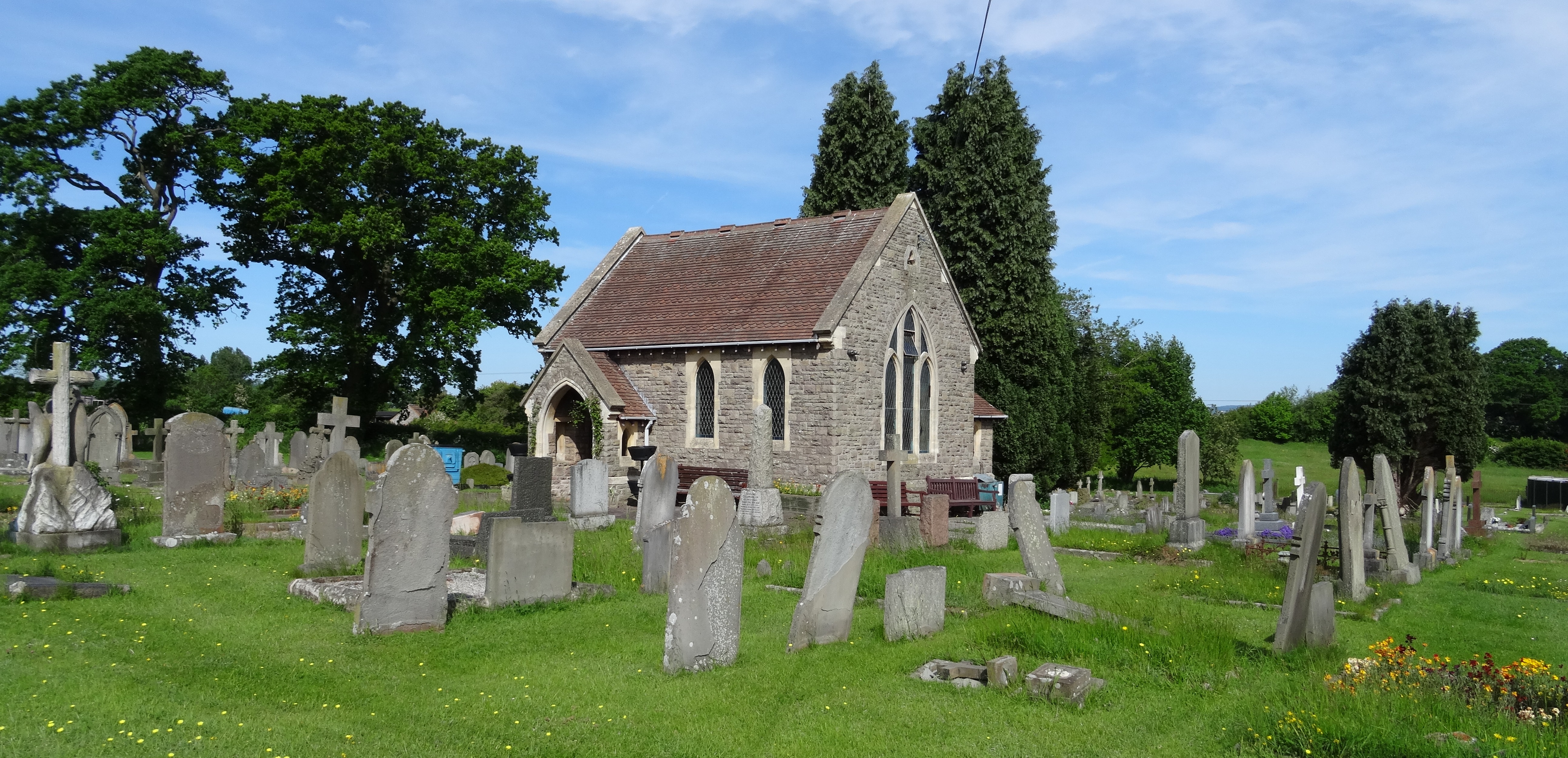
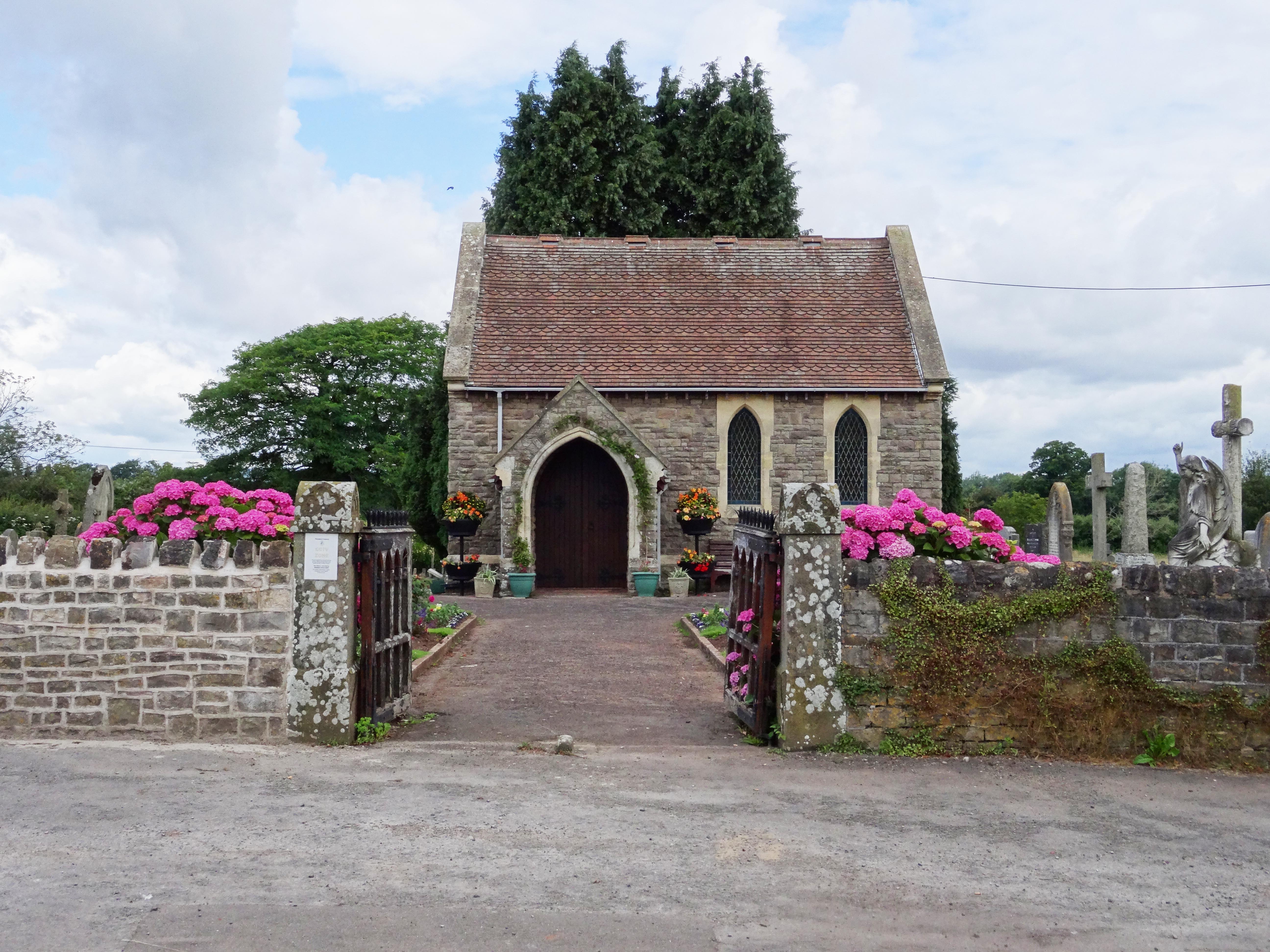
| Description | : | Thornbury Cemetery is located just outside Thornbury on the road to Kington. It was opened in 1892 and the Town Council now manage it in 5 discrete sections: Old Church, New Church, Non Conformist, Roman Catholic, and Extension. |
frequently asked questions (FAQ):
-
Where is Thornbury Cemetery?
Thornbury Cemetery is located at Thornbury, South Gloucestershire Unitary Authority ,Gloucestershire ,England.
-
Thornbury Cemetery cemetery's updated grave count on graveviews.com?
16 memorials
-
Where are the coordinates of the Thornbury Cemetery?
Latitude: 51.6099460
Longitude: -2.5323000
Nearby Cemetories:
1. St Mary the Virgin Parish Churchyard
Thornbury, South Gloucestershire Unitary Authority, England
Coordinate: 51.6132330, -2.5300090
2. St Helen Churchyard
Alveston, South Gloucestershire Unitary Authority, England
Coordinate: 51.5850600, -2.5303380
3. St Oswald Churchyard
Rockhampton, South Gloucestershire Unitary Authority, England
Coordinate: 51.6374200, -2.5003500
4. St James Parish Churchyard
Tytherington, South Gloucestershire Unitary Authority, England
Coordinate: 51.5932110, -2.4799250
5. St. Mary the Virgin Churchyard
Olveston, South Gloucestershire Unitary Authority, England
Coordinate: 51.5828740, -2.5774290
6. Memorial Woodland Cemetery
Bristol Unitary Authority, England
Coordinate: 51.5754490, -2.5013060
7. Bristol Memorial Woodlands
Alveston, South Gloucestershire Unitary Authority, England
Coordinate: 51.5725340, -2.4983540
8. Mount Pleasant Chapel
Wotton-under-Edge, Stroud District, England
Coordinate: 51.6331000, -2.4610000
9. St Andrew Churchyard
Cromhall, South Gloucestershire Unitary Authority, England
Coordinate: 51.6121930, -2.4456930
10. St. John's Churchyard
Aust, South Gloucestershire Unitary Authority, England
Coordinate: 51.5991080, -2.6186160
11. Almondsbury Cemetery
Almondsbury, South Gloucestershire Unitary Authority, England
Coordinate: 51.5588230, -2.5760360
12. Almondsbury Cemetery
Bristol Unitary Authority, England
Coordinate: 51.5589695, -2.5768189
13. Church of the Holy Trinity
Rangeworthy, South Gloucestershire Unitary Authority, England
Coordinate: 51.5742000, -2.4536000
14. St Mary's Churchyard
Almondsbury, South Gloucestershire Unitary Authority, England
Coordinate: 51.5542300, -2.5733390
15. All Saints Churchyard
Stone, Stroud District, England
Coordinate: 51.6566800, -2.4575600
16. Mayshill Cemetery
South Gloucestershire Unitary Authority, England
Coordinate: 51.5562160, -2.4691663
17. St Leonard Churchyard
Tortworth, Stroud District, England
Coordinate: 51.6379440, -2.4286650
18. St. John the Evangelist Churchyard
Beachley, Forest of Dean District, England
Coordinate: 51.6184750, -2.6505640
19. Beachley Barracks Military Cemetery
Beachley, Forest of Dean District, England
Coordinate: 51.6185000, -2.6512000
20. St James the Less Churchyard
Iron Acton, South Gloucestershire Unitary Authority, England
Coordinate: 51.5490390, -2.4619310
21. St Peter's Churchyard
Frampton Cotterell, South Gloucestershire Unitary Authority, England
Coordinate: 51.5359115, -2.4801320
22. Holy Trinity Churchyard
Wickwar, South Gloucestershire Unitary Authority, England
Coordinate: 51.5985120, -2.4006930
23. St. Michael the Archangel Churchyard
Winterbourne, South Gloucestershire Unitary Authority, England
Coordinate: 51.5269000, -2.5183600
24. St. Mary and St. Peter Churchyard
Tidenham Chase, Forest of Dean District, England
Coordinate: 51.6601690, -2.6434850