
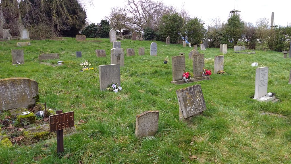
| Memorials | : | 3 |
| Location | : | North Witham, South Kesteven District, England |
| Coordinate | : | 52.7864400, -0.6252800 |
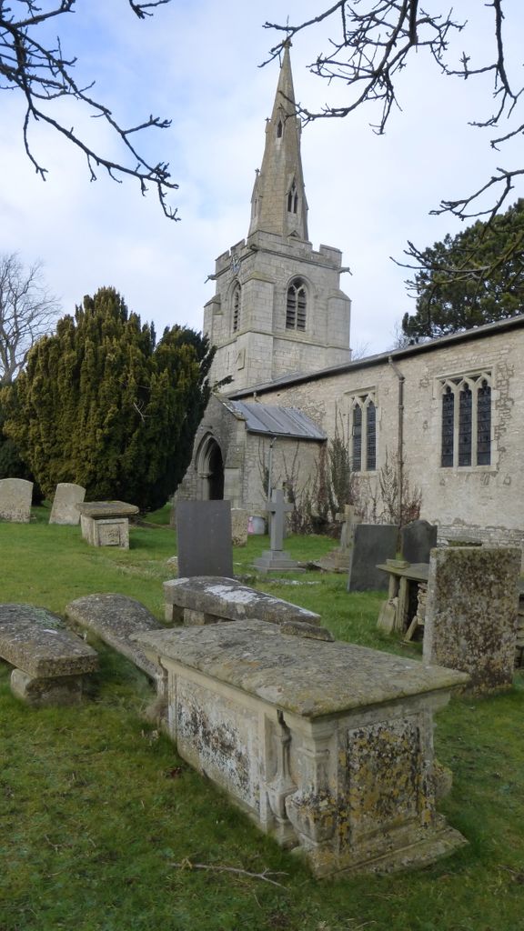
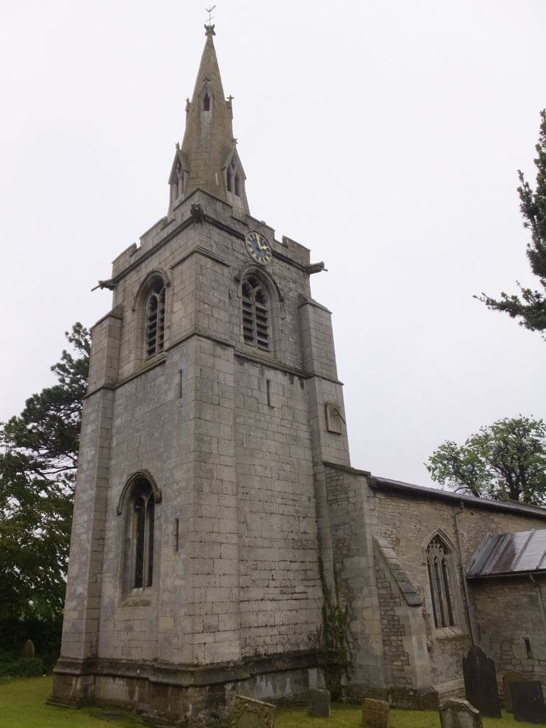
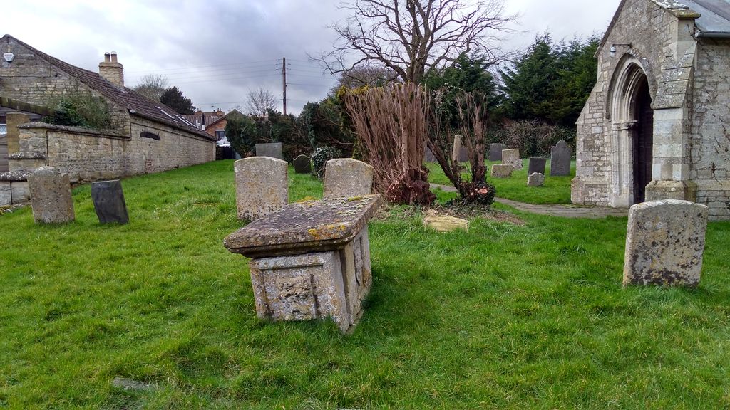
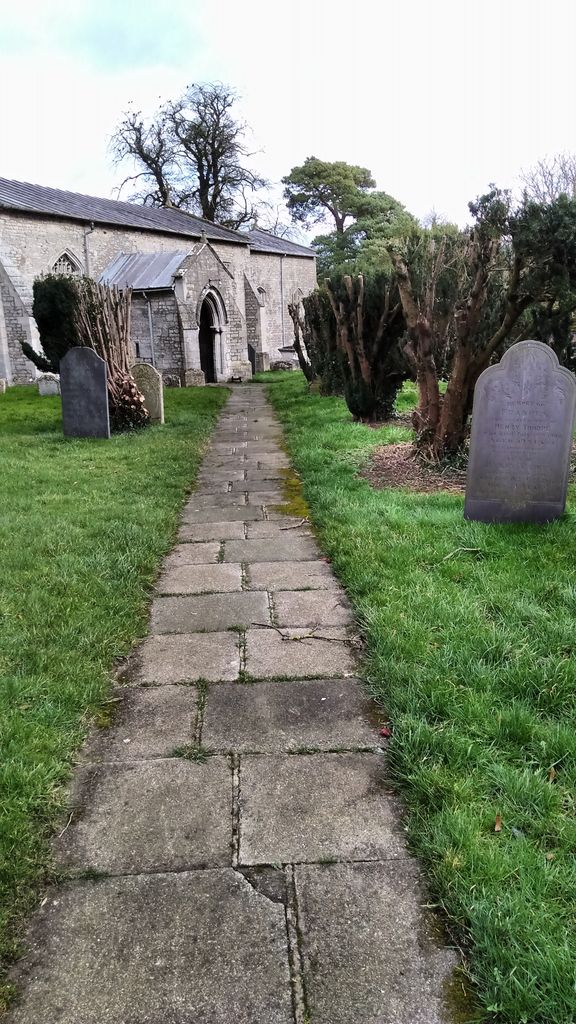
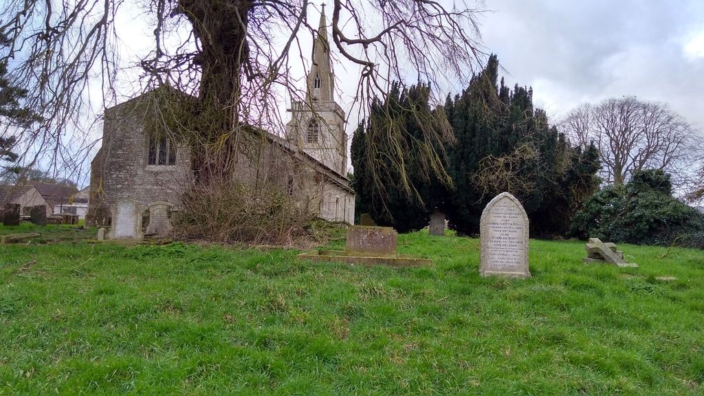
| Description | : | The Anglican parish church is dedicated to Saint Mary the Virgin. There is some evidence that an Anglo-Saxon church existed on this site. The church is believed to have been built around 1086. The church tower and spire were built between 1380 and 1410, it was partially restored in 1852, then more completely restored in 1887. |
frequently asked questions (FAQ):
-
Where is St Mary's Churchyard?
St Mary's Churchyard is located at North Witham, South Kesteven District ,Lincolnshire ,England.
-
St Mary's Churchyard cemetery's updated grave count on graveviews.com?
3 memorials
-
Where are the coordinates of the St Mary's Churchyard?
Latitude: 52.7864400
Longitude: -0.6252800
Nearby Cemetories:
1. St Nicholas Churchyard
Gunby, South Kesteven District, England
Coordinate: 52.7838800, -0.6481500
2. St. Peter's Churchyard
Gunby, East Lindsey District, England
Coordinate: 52.7840600, -0.6483000
3. St. John the Baptist Churchyard
Colsterworth, South Kesteven District, England
Coordinate: 52.8069090, -0.6214400
4. St Peter Churchyard
Stainby, South Kesteven District, England
Coordinate: 52.7953390, -0.6587990
5. St Nicholas Churchyard
Thistleton, Rutland Unitary Authority, England
Coordinate: 52.7516900, -0.6483100
6. St John the Baptist Churchyard
Buckminster, Melton Borough, England
Coordinate: 52.7981500, -0.6974900
7. St James Churchyard
Skillington, South Kesteven District, England
Coordinate: 52.8231750, -0.6724600
8. St Nicholas Churchyard
Swayfield, South Kesteven District, England
Coordinate: 52.7922400, -0.5284400
9. Saint Peter and Saint Paul's Churchyard
Market Overton, Rutland Unitary Authority, England
Coordinate: 52.7385000, -0.6893000
10. St James Churchyard
Castle Bytham, South Kesteven District, England
Coordinate: 52.7537140, -0.5367360
11. St Mary the Virgin Churchyard
Greetham, Rutland Unitary Authority, England
Coordinate: 52.7216100, -0.6325650
12. St Thomas a Beckett Churchyard
Bassingthorpe, South Kesteven District, England
Coordinate: 52.8457500, -0.5669900
13. St Bartholomew's Churchyard
Sproxton, Melton Borough, England
Coordinate: 52.8150500, -0.7307100
14. St John the Evangelist Churchyard
Corby Glen, South Kesteven District, England
Coordinate: 52.8132500, -0.5157630
15. St Andrew Churchyard
Coston, Melton Borough, England
Coordinate: 52.7905590, -0.7439280
16. Edmondthorpe Main Street Cemetery
Edmondthorpe, Melton Borough, England
Coordinate: 52.7491560, -0.7300030
17. Saint Michael and All Angels Churchyard
Edmondthorpe, Melton Borough, England
Coordinate: 52.7488800, -0.7301600
18. St Peter Churchyard
Wymondham, Melton Borough, England
Coordinate: 52.7585970, -0.7395410
19. St Mary Magdalene
Bitchfield, South Kesteven District, England
Coordinate: 52.8441000, -0.5418600
20. Holy Cross Churchyard
Great Ponton, South Kesteven District, England
Coordinate: 52.8638270, -0.6275570
21. Holy Trinity Churchyard
Teigh, Rutland Unitary Authority, England
Coordinate: 52.7348560, -0.7207040
22. St. Nicholas Churchyard
Cottesmore, Rutland Unitary Authority, England
Coordinate: 52.7128800, -0.6655820
23. St Peter Churchyard
Creeton, South Kesteven District, England
Coordinate: 52.7669500, -0.4977300
24. St Peter's Churchyard
Saltby, Melton Borough, England
Coordinate: 52.8298400, -0.7378900