| Memorials | : | 2 |
| Location | : | Creeton, South Kesteven District, England |
| Coordinate | : | 52.7669500, -0.4977300 |
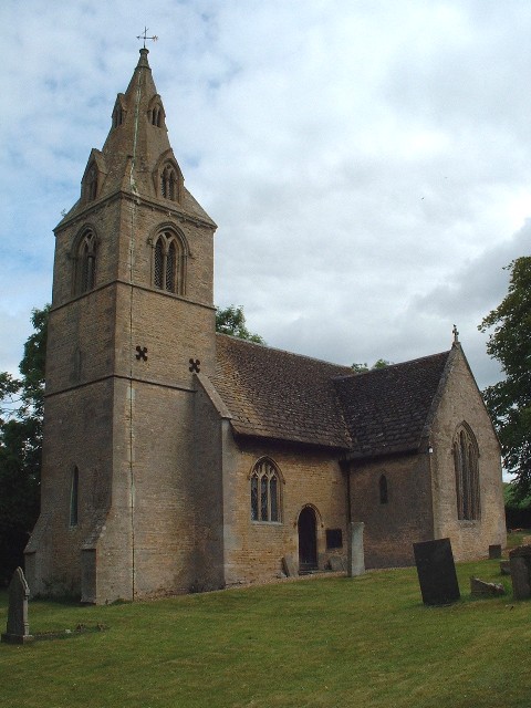
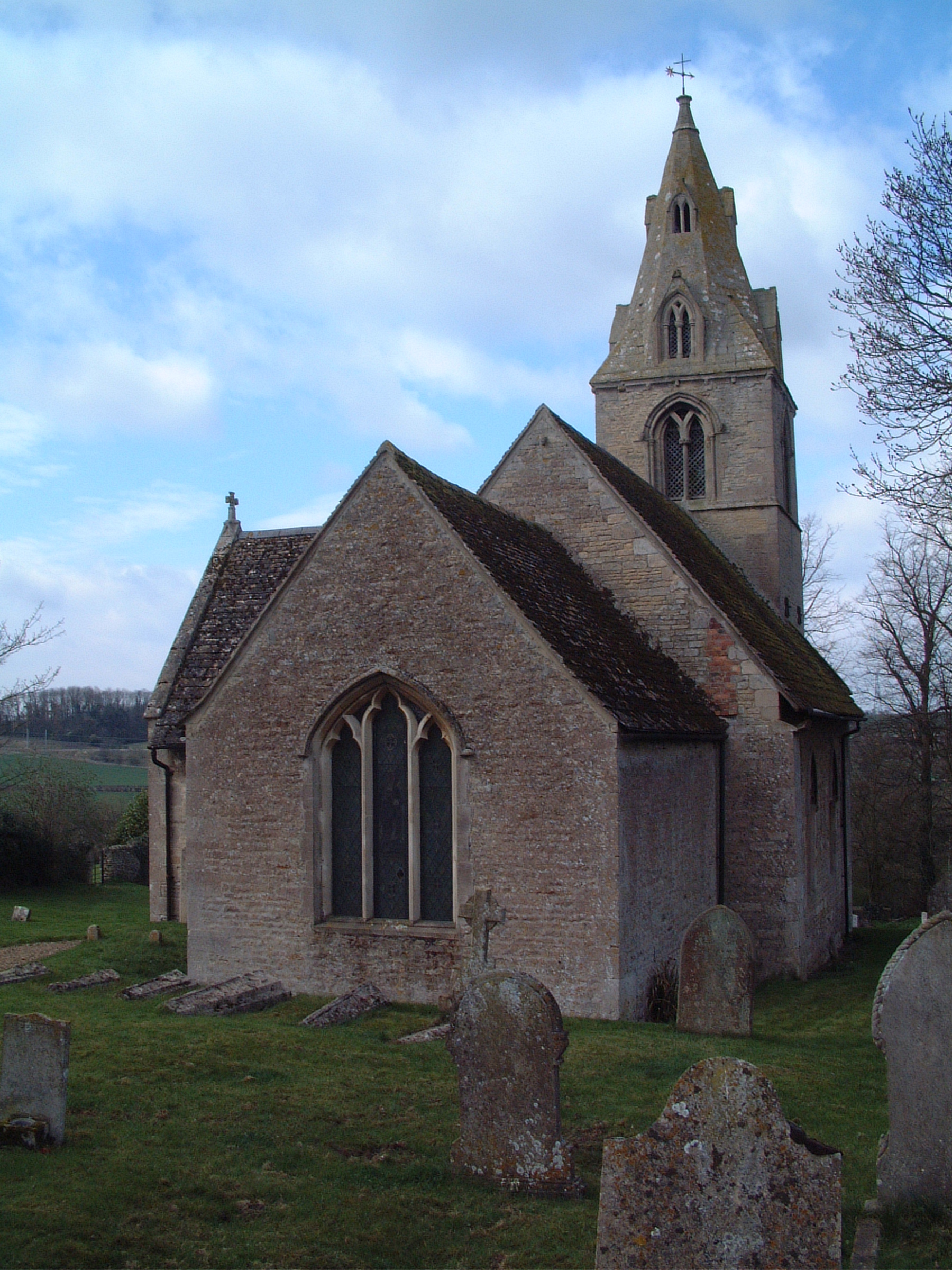
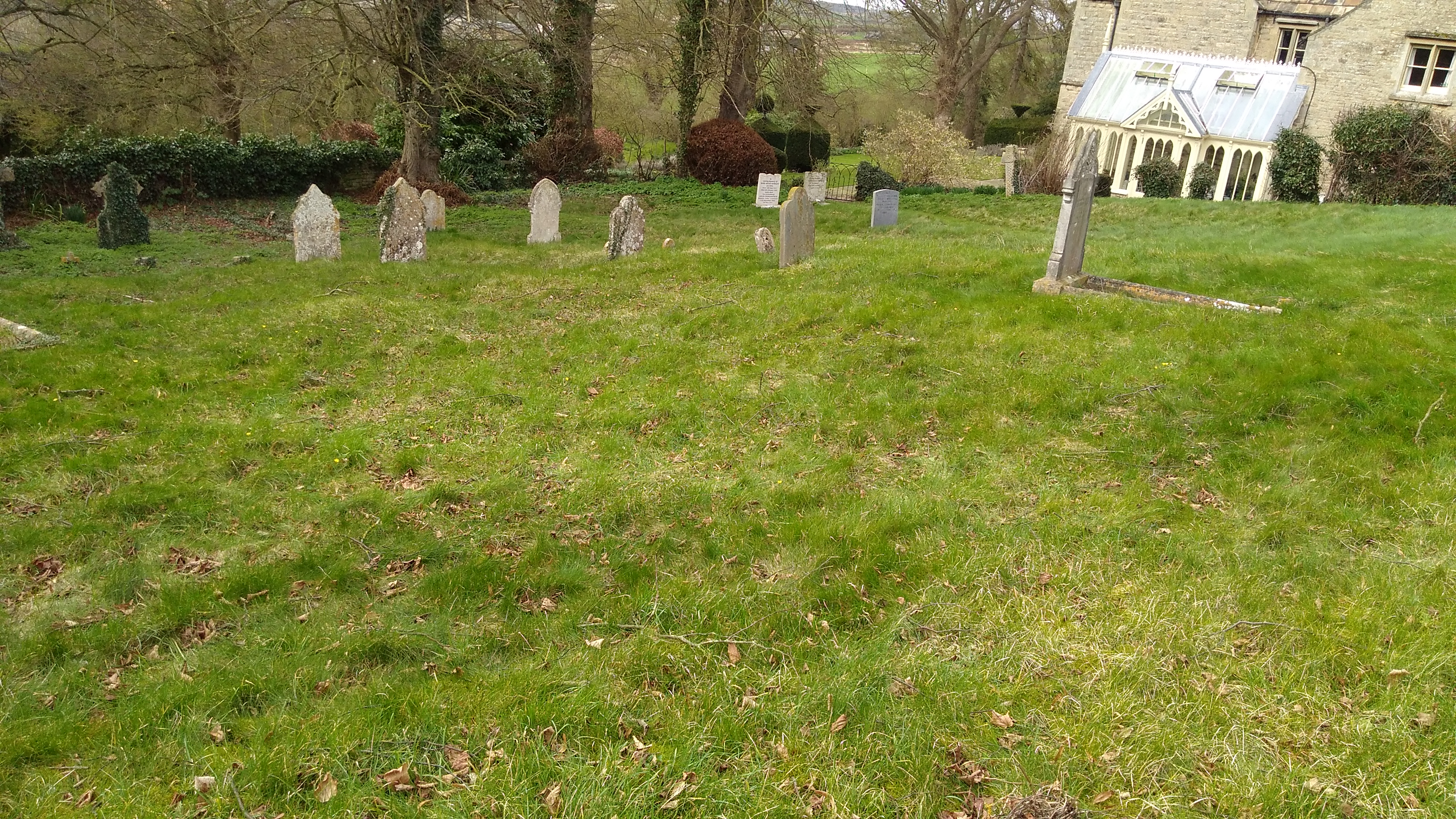
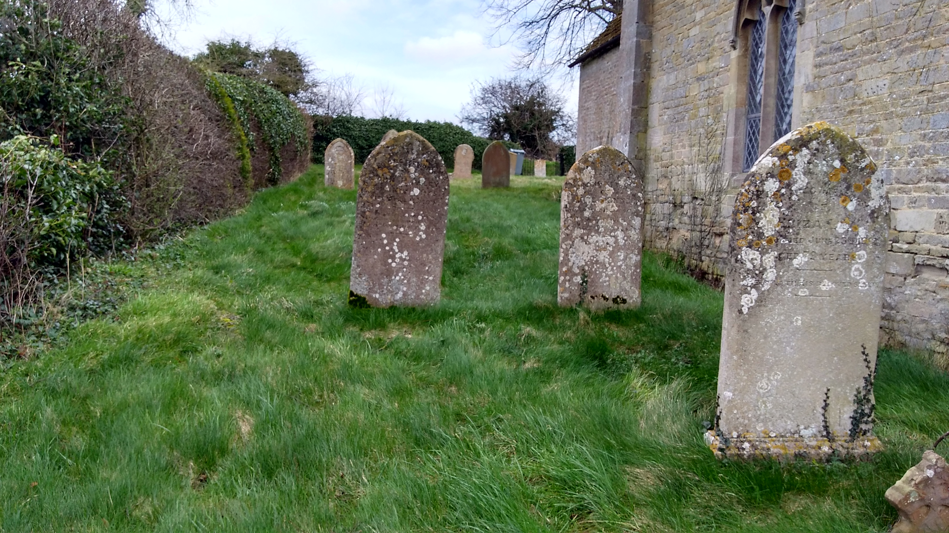
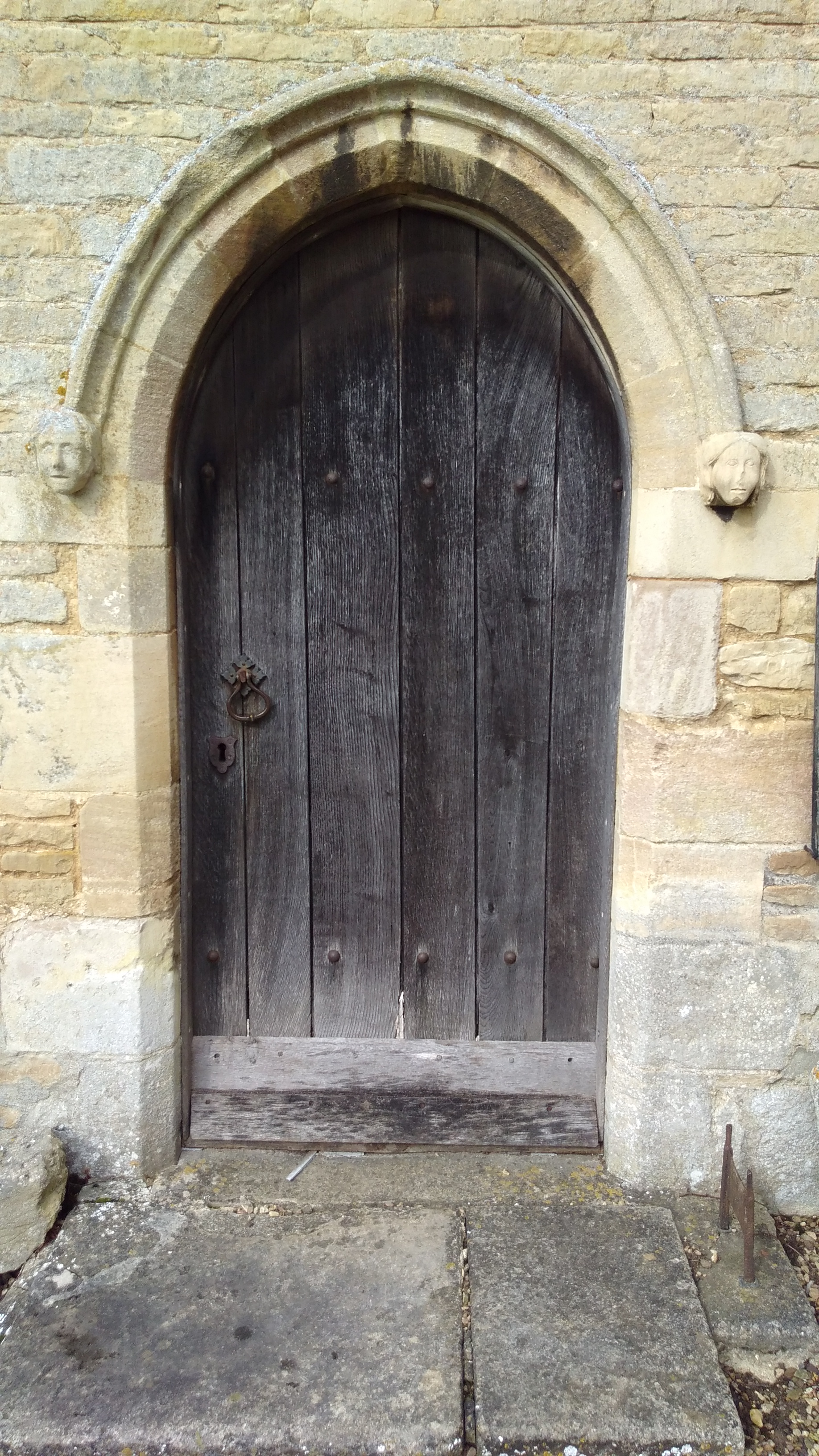
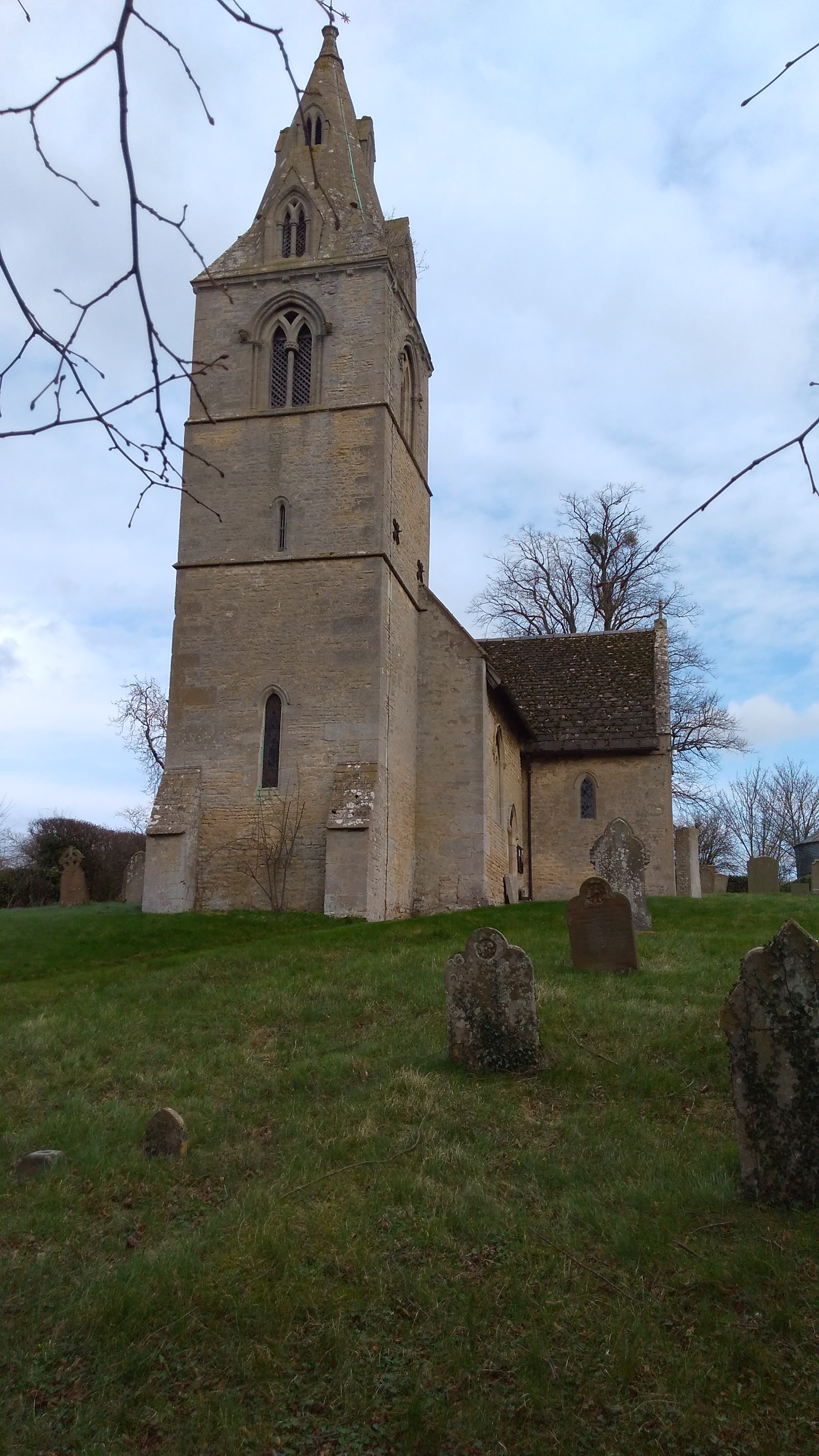
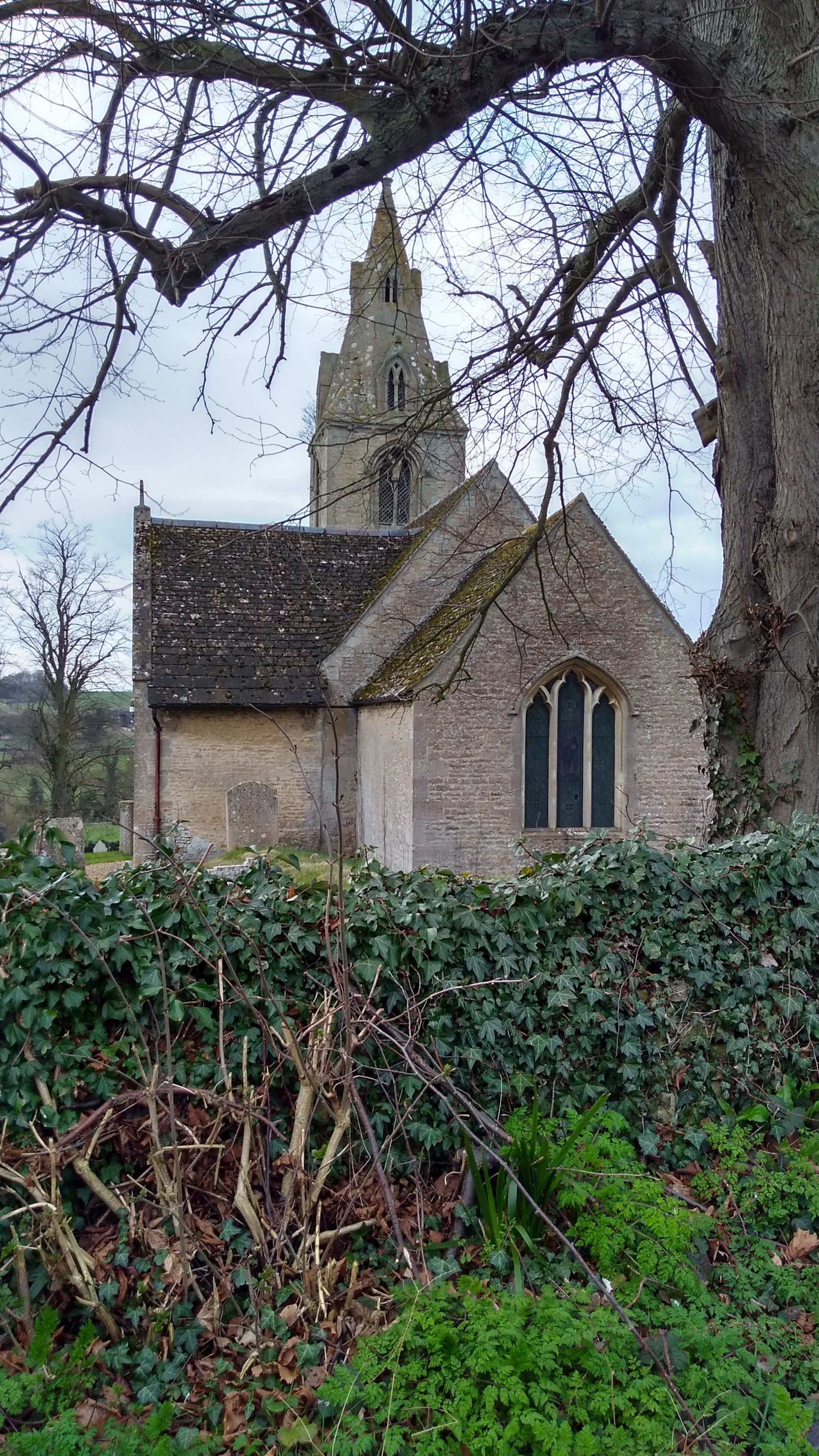
| Description | : | St Peter's Church dates from the early 13th century but is well off the beaten track, small and isolated at the end of a winding country lane. The church was once bigger for the pillars and arches of a north arcade were found in the wall during restoration. In the sloping churchyard there are relics from Saxon England, the broken shafts of two crosses with scroll and interlacing patterns, each several feet high and originating from an unknown date before the Norman Conquest. |
frequently asked questions (FAQ):
-
Where is St Peter Churchyard?
St Peter Churchyard is located at Creeton, South Kesteven District ,Lincolnshire ,England.
-
St Peter Churchyard cemetery's updated grave count on graveviews.com?
2 memorials
-
Where are the coordinates of the St Peter Churchyard?
Latitude: 52.7669500
Longitude: -0.4977300
Nearby Cemetories:
1. St Mary Churchyard
Swinstead, South Kesteven District, England
Coordinate: 52.7900380, -0.4909380
2. St James Churchyard
Castle Bytham, South Kesteven District, England
Coordinate: 52.7537140, -0.5367360
3. St Nicholas Churchyard
Swayfield, South Kesteven District, England
Coordinate: 52.7922400, -0.5284400
4. St Stephen Churchyard
Careby, South Kesteven District, England
Coordinate: 52.7363500, -0.4823700
5. St Wilfrid
Holywell, South Kesteven District, England
Coordinate: 52.7329915, -0.5149881
6. St. Andrews Churchyard
Witham on the Hill, South Kesteven District, England
Coordinate: 52.7364500, -0.4420300
7. St Michael Churchyard
Edenham, South Kesteven District, England
Coordinate: 52.7836110, -0.4266560
8. St John the Evangelist Churchyard
Corby Glen, South Kesteven District, England
Coordinate: 52.8132500, -0.5157630
9. Saint Stephen
Carlby, South Kesteven District, England
Coordinate: 52.7125650, -0.4475800
10. St Mary Magdalene Churchyard
Essendine, Rutland Unitary Authority, England
Coordinate: 52.7026000, -0.4489000
11. Bourne Abbey
Bourne, South Kesteven District, England
Coordinate: 52.7661320, -0.3758389
12. Bourne Cemetery
Bourne, South Kesteven District, England
Coordinate: 52.7607264, -0.3714663
13. St Mary's Churchyard
North Witham, South Kesteven District, England
Coordinate: 52.7864400, -0.6252800
14. St Mary Magdalene
Bitchfield, South Kesteven District, England
Coordinate: 52.8441000, -0.5418600
15. St John the Evangelist Churchyard
Ryhall, Rutland Unitary Authority, England
Coordinate: 52.6852000, -0.4685000
16. St John the Baptist Churchyard
Morton, South Kesteven District, England
Coordinate: 52.8025100, -0.3724200
17. Ryhall Churchyard Extension
Ryhall, Rutland Unitary Authority, England
Coordinate: 52.6849000, -0.4678700
18. St. John the Baptist Churchyard
Colsterworth, South Kesteven District, England
Coordinate: 52.8069090, -0.6214400
19. St Firmin Churchyard
Thurlby, South Kesteven District, England
Coordinate: 52.7375960, -0.3646650
20. St Thomas a Beckett Churchyard
Bassingthorpe, South Kesteven District, England
Coordinate: 52.8457500, -0.5669900
21. St Faith Churchyard
Wilsthorpe, South Kesteven District, England
Coordinate: 52.7095208, -0.3848166
22. All Saints Churchyard
Little Casterton, Rutland Unitary Authority, England
Coordinate: 52.6775807, -0.4965072
23. St Nicholas Churchyard
Thistleton, Rutland Unitary Authority, England
Coordinate: 52.7516900, -0.6483100
24. St Nicholas Churchyard
Gunby, South Kesteven District, England
Coordinate: 52.7838800, -0.6481500

