
| Memorials | : | 0 |
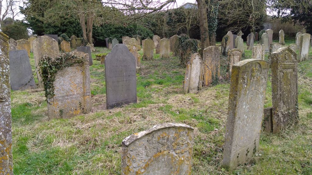
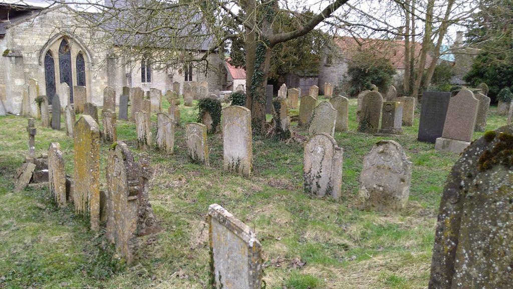
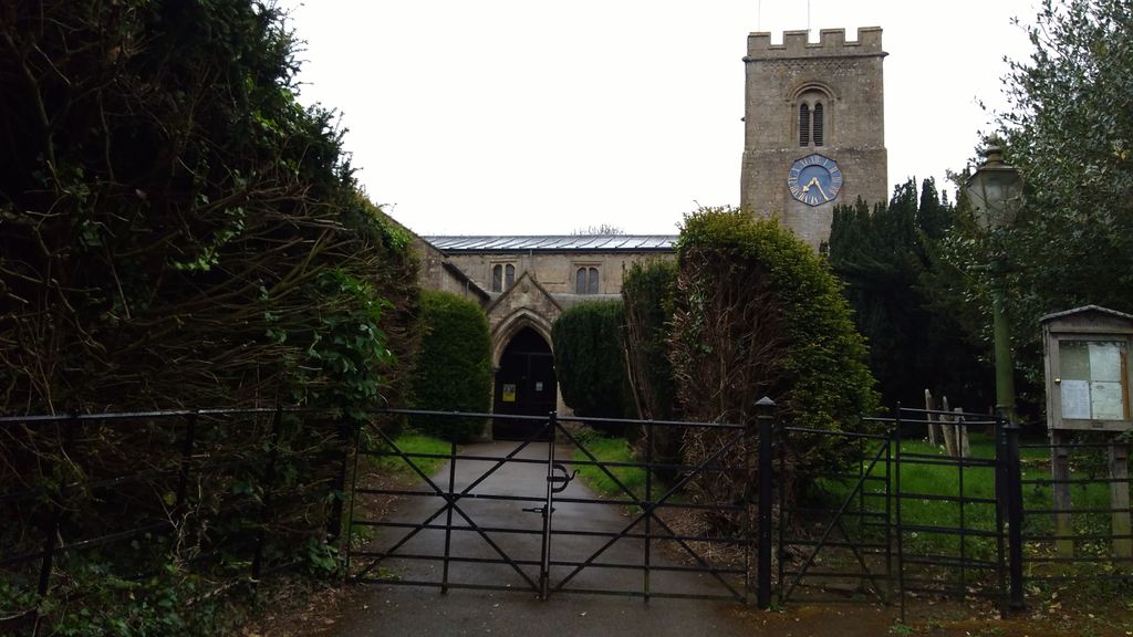
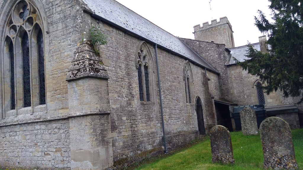
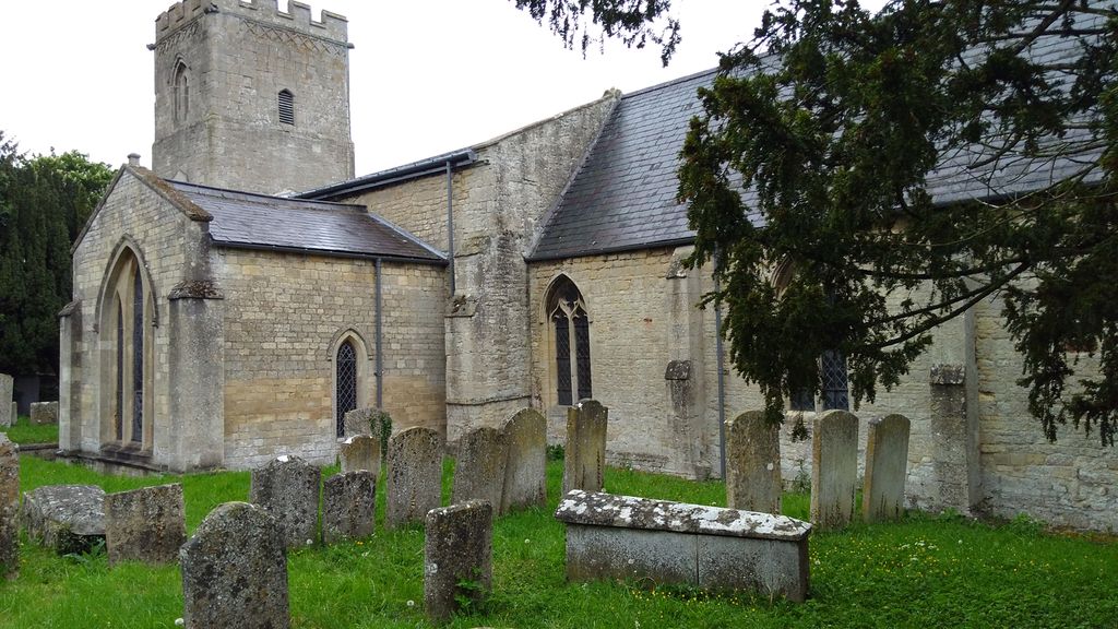
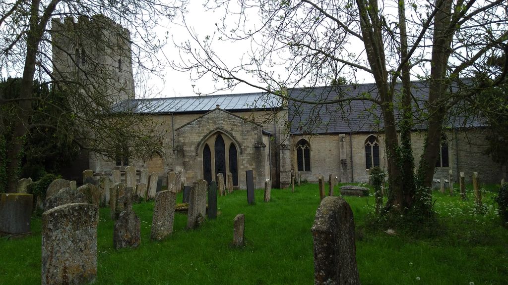
| Location | : | Castle Bytham, South Kesteven District, England |
| Coordinate | : | 52.7537140, -0.5367360 |
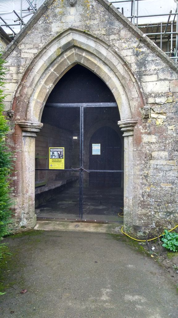
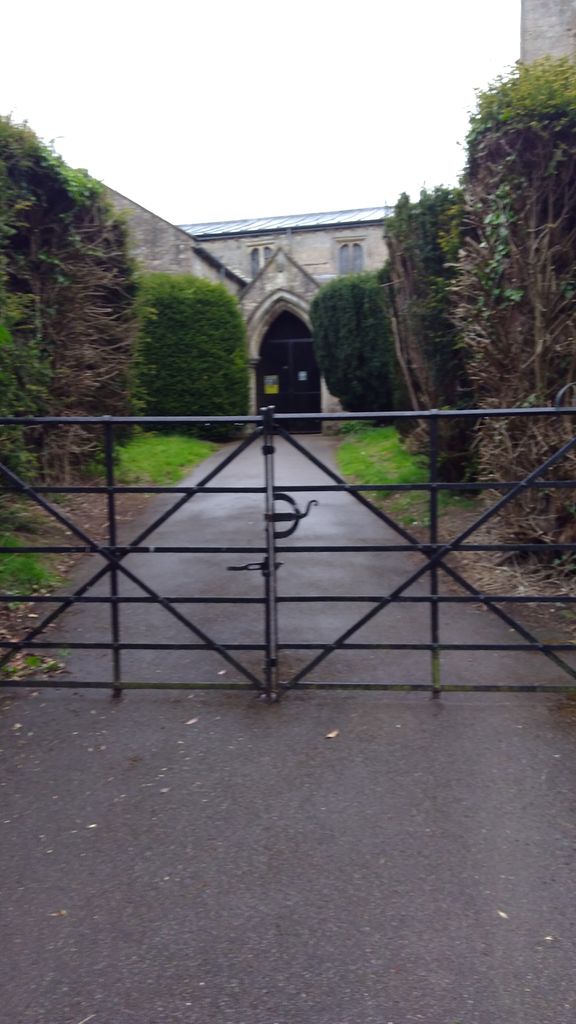
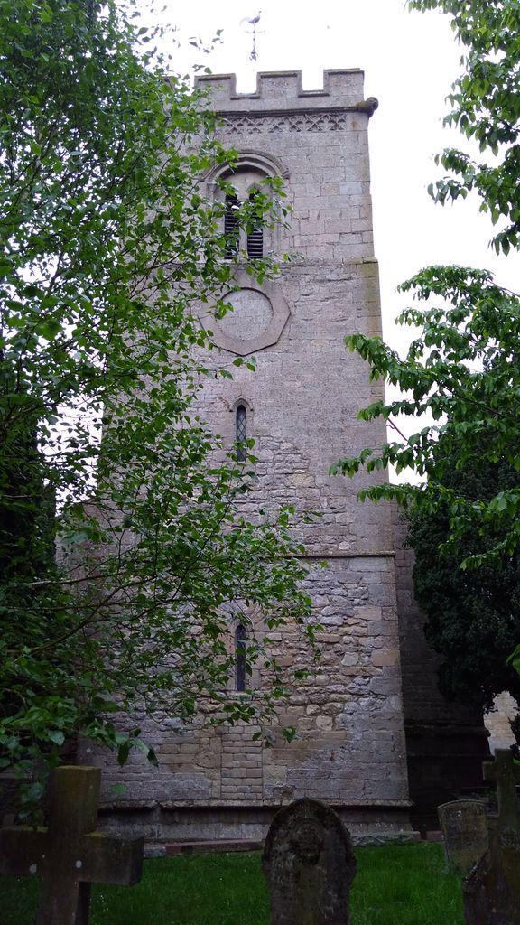
| Description | : | Founded about 1200, in Norman times, the church is unusual because the main entrance is on the north side rather than the traditional south. This is odd because in the Middle ages the north door was considered the "devil's door", and most churches blocked any north doorways to prevent the devil gaining entrance to the church. There are pieces of Saxon stonework suggesting that there was an earlier church on this site long before the Norman building was erected. |
frequently asked questions (FAQ):
-
Where is St James Churchyard?
St James Churchyard is located at Castle Bytham, South Kesteven District ,Lincolnshire ,England.
-
St James Churchyard cemetery's updated grave count on graveviews.com?
0 memorials
-
Where are the coordinates of the St James Churchyard?
Latitude: 52.7537140
Longitude: -0.5367360
Nearby Cemetories:
1. St Wilfrid
Holywell, South Kesteven District, England
Coordinate: 52.7329915, -0.5149881
2. St Peter Churchyard
Creeton, South Kesteven District, England
Coordinate: 52.7669500, -0.4977300
3. St Stephen Churchyard
Careby, South Kesteven District, England
Coordinate: 52.7363500, -0.4823700
4. St Nicholas Churchyard
Swayfield, South Kesteven District, England
Coordinate: 52.7922400, -0.5284400
5. St Mary Churchyard
Swinstead, South Kesteven District, England
Coordinate: 52.7900380, -0.4909380
6. St. Andrews Churchyard
Witham on the Hill, South Kesteven District, England
Coordinate: 52.7364500, -0.4420300
7. St John the Evangelist Churchyard
Corby Glen, South Kesteven District, England
Coordinate: 52.8132500, -0.5157630
8. St Mary's Churchyard
North Witham, South Kesteven District, England
Coordinate: 52.7864400, -0.6252800
9. St Mary the Virgin Churchyard
Greetham, Rutland Unitary Authority, England
Coordinate: 52.7216100, -0.6325650
10. St Nicholas Churchyard
Thistleton, Rutland Unitary Authority, England
Coordinate: 52.7516900, -0.6483100
11. Saint Stephen
Carlby, South Kesteven District, England
Coordinate: 52.7125650, -0.4475800
12. St Michael Churchyard
Edenham, South Kesteven District, England
Coordinate: 52.7836110, -0.4266560
13. St Mary Magdalene Churchyard
Essendine, Rutland Unitary Authority, England
Coordinate: 52.7026000, -0.4489000
14. St Nicholas Churchyard
Gunby, South Kesteven District, England
Coordinate: 52.7838800, -0.6481500
15. St. John the Baptist Churchyard
Colsterworth, South Kesteven District, England
Coordinate: 52.8069090, -0.6214400
16. St. Peter's Churchyard
Gunby, East Lindsey District, England
Coordinate: 52.7840600, -0.6483000
17. St Peter's Churchyard
Tickencote, Rutland Unitary Authority, England
Coordinate: 52.6741278, -0.5365826
18. All Saints Churchyard
Little Casterton, Rutland Unitary Authority, England
Coordinate: 52.6775807, -0.4965072
19. St John the Evangelist Churchyard
Ryhall, Rutland Unitary Authority, England
Coordinate: 52.6852000, -0.4685000
20. Ryhall Churchyard Extension
Ryhall, Rutland Unitary Authority, England
Coordinate: 52.6849000, -0.4678700
21. St Peter Churchyard
Stainby, South Kesteven District, England
Coordinate: 52.7953390, -0.6587990
22. St Peter & St Paul Churchyard
Great Casterton, Rutland Unitary Authority, England
Coordinate: 52.6676700, -0.5203600
23. St. Nicholas Churchyard
Cottesmore, Rutland Unitary Authority, England
Coordinate: 52.7128800, -0.6655820
24. St Peter and St Paul Churchyard
Exton, Rutland Unitary Authority, England
Coordinate: 52.6905790, -0.6396910