
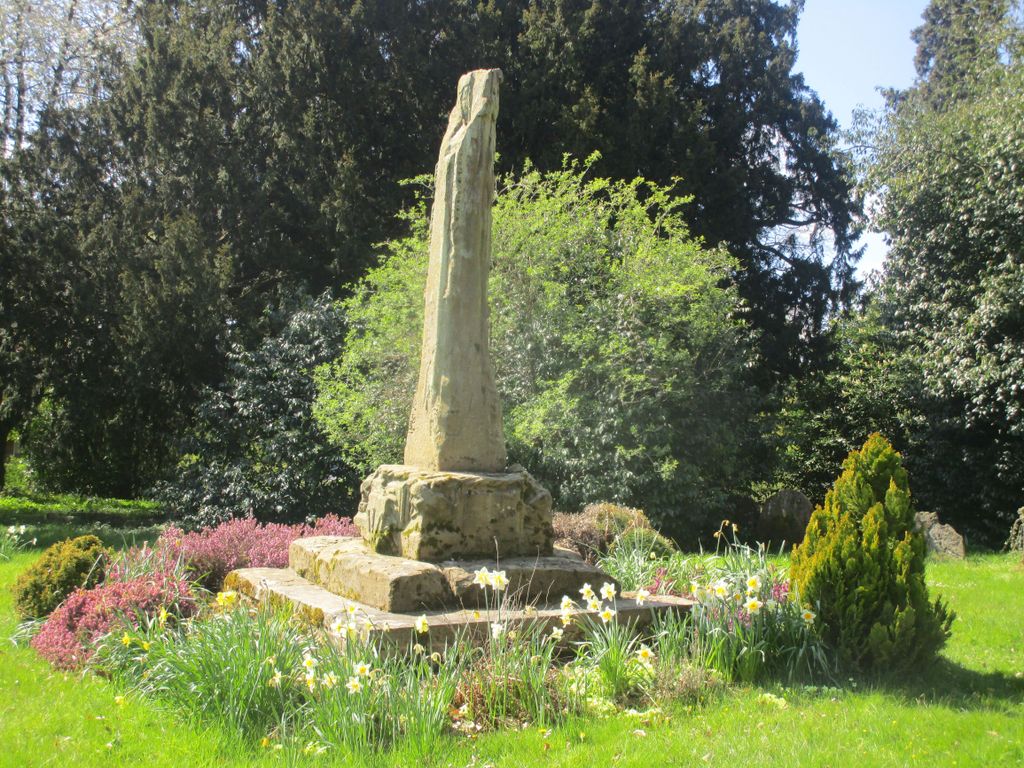
| Memorials | : | 1 |
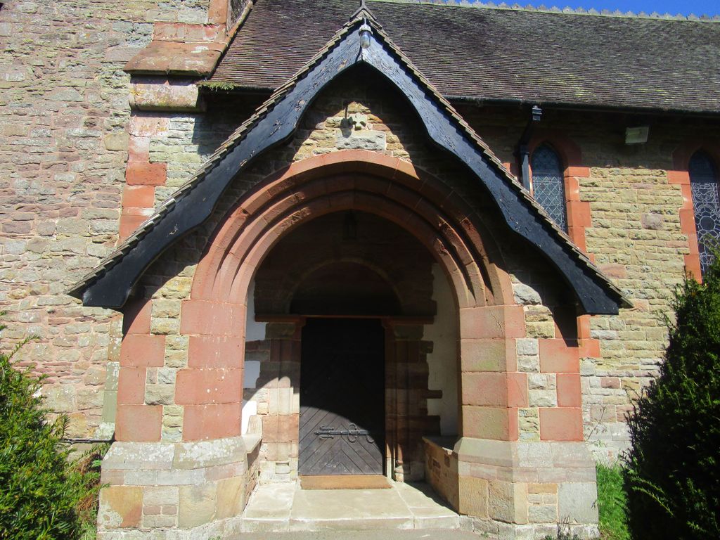
| Location | : | Caynham, Shropshire Unitary Authority, England |
| Coordinate | : | 52.3558260, -2.6564540 |
frequently asked questions (FAQ):
-
Where is St. Mary's Churchyard?
St. Mary's Churchyard is located at Caynham, Shropshire Unitary Authority ,Shropshire ,England.
-
St. Mary's Churchyard cemetery's updated grave count on graveviews.com?
1 memorials
-
Where are the coordinates of the St. Mary's Churchyard?
Latitude: 52.3558260
Longitude: -2.6564540


Nearby Cemetories:
1. Knowbury, St Paul
Caynham, Shropshire Unitary Authority, England
Coordinate: 52.3734750, -2.6300130
2. St. Mary's Churchyard
Bitterley, Shropshire Unitary Authority, England
Coordinate: 52.3922280, -2.6319790
3. St. Andrew, Ashford Bowdler.
Ashford Bowdler, Shropshire Unitary Authority, England
Coordinate: 52.3308770, -2.7065930
4. St. Mary Magdalene Churchyard
Little Hereford, Herefordshire Unitary Authority, England
Coordinate: 52.3112129, -2.6572039
5. St. Peter's Churchyard
Coreley, Shropshire Unitary Authority, England
Coordinate: 52.3627780, -2.5694950
6. St Mary's Churchyard
Burford, Shropshire Unitary Authority, England
Coordinate: 52.3087670, -2.6126000
7. St. Mary's Churchyard
Tenbury Wells, Malvern Hills District, England
Coordinate: 52.3120500, -2.5962400
8. St. John the Baptist Churchyard
Doddington, Cheshire East Unitary Authority, England
Coordinate: 52.3822068, -2.5651644
9. St Michael's Churchyard Extension
Tenbury Wells, Malvern Hills District, England
Coordinate: 52.2941032, -2.6183906
10. Hopton Bank Methodist Church Burial Ground
Hopton Wafers, Shropshire Unitary Authority, England
Coordinate: 52.3872950, -2.5584430
11. St Michael and All Angels Churchyard
Tenbury Wells, Malvern Hills District, England
Coordinate: 52.2882600, -2.6137900
12. St. Mary the Virgin Churchyard
Bromfield, Shropshire Unitary Authority, England
Coordinate: 52.3873900, -2.7636700
13. St Michael & All Angels Churchyard
Knighton-on-Teme, Malvern Hills District, England
Coordinate: 52.3260900, -2.5393500
14. St Michael and All Angels Churchyard
Rochford, Malvern Hills District, England
Coordinate: 52.3134240, -2.5454090
15. St. Michael & All Angels Churchyard
Hopton Wafers, Shropshire Unitary Authority, England
Coordinate: 52.3857100, -2.5343700
16. St. Mary the Virgin Churchyard
Elton, Shropshire Unitary Authority, England
Coordinate: 52.3345972, -2.7969324
17. All Saints Churchyard
Culmington, Shropshire Unitary Authority, England
Coordinate: 52.4334800, -2.7463500
18. Blackford Chapel Burial Ground
Blackford, Shropshire Unitary Authority, England
Coordinate: 52.4437470, -2.5930900
19. St. Peter and St. Paul
Leominster, Herefordshire Unitary Authority, England
Coordinate: 52.2704100, -2.7398260
20. Clee St. Margaret Churchyard
Clee St Margaret, Shropshire Unitary Authority, England
Coordinate: 52.4554270, -2.6423086
21. St. George's Churchyard
Burrington, Herefordshire Unitary Authority, England
Coordinate: 52.3440700, -2.8200100
22. St. Giles' Churchyard
Farlow, Shropshire Unitary Authority, England
Coordinate: 52.4222750, -2.5316310
23. St Peter & St Paul Churchyard
Eastham, Malvern Hills District, England
Coordinate: 52.3156100, -2.5046000
24. St. James the Less Churchyard
Kimbolton, Herefordshire Unitary Authority, England
Coordinate: 52.2507757, -2.6957349