
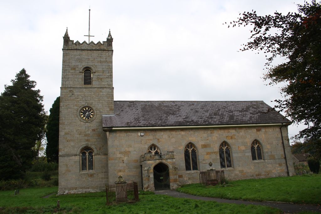
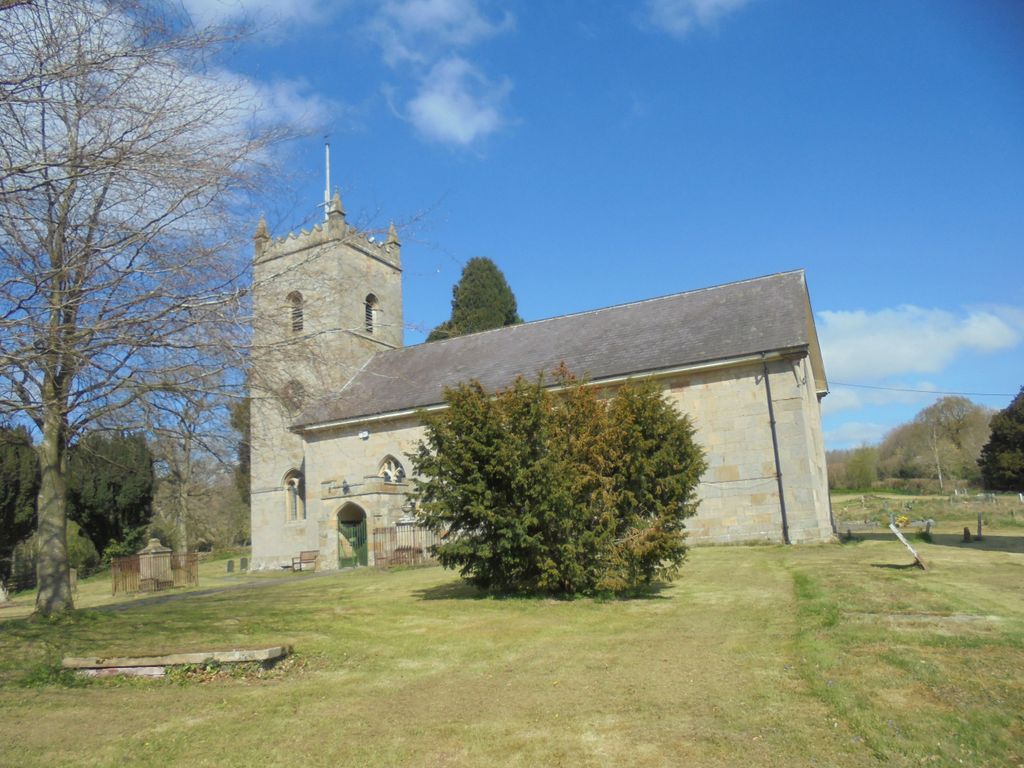
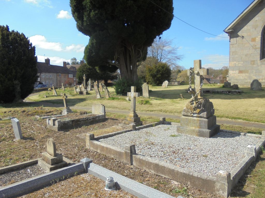
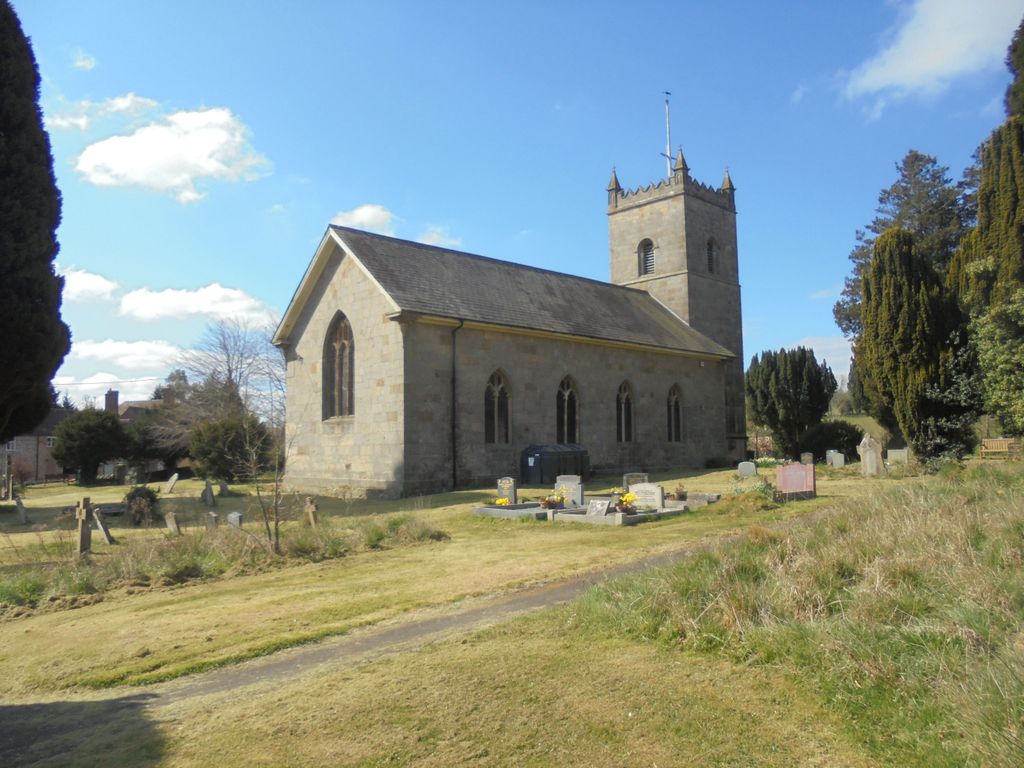
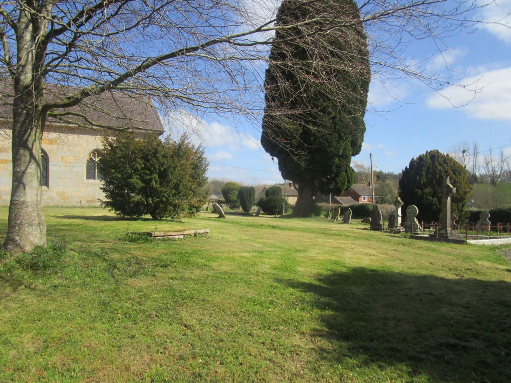
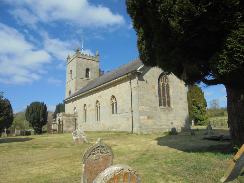
| Memorials | : | 0 |
| Location | : | Hopton Wafers, Shropshire Unitary Authority, England |
| Coordinate | : | 52.3857100, -2.5343700 |
frequently asked questions (FAQ):
-
Where is St. Michael & All Angels Churchyard?
St. Michael & All Angels Churchyard is located at Hopton Wafers, Shropshire Unitary Authority ,Shropshire ,England.
-
St. Michael & All Angels Churchyard cemetery's updated grave count on graveviews.com?
0 memorials
-
Where are the coordinates of the St. Michael & All Angels Churchyard?
Latitude: 52.3857100
Longitude: -2.5343700
Nearby Cemetories:
1. Hopton Bank Methodist Church Burial Ground
Hopton Wafers, Shropshire Unitary Authority, England
Coordinate: 52.3872950, -2.5584430
2. St. John the Baptist Churchyard
Doddington, Cheshire East Unitary Authority, England
Coordinate: 52.3822068, -2.5651644
3. St. Peter's Churchyard
Coreley, Shropshire Unitary Authority, England
Coordinate: 52.3627780, -2.5694950
4. St Mary the Virgin
Cleobury Mortimer, Shropshire Unitary Authority, England
Coordinate: 52.3792280, -2.4803610
5. Neen Savage
Cleobury Mortimer, Shropshire Unitary Authority, England
Coordinate: 52.3930000, -2.4799400
6. St. Giles' Churchyard
Farlow, Shropshire Unitary Authority, England
Coordinate: 52.4222750, -2.5316310
7. St Bartholomews Churchyard
Bayton, Malvern Hills District, England
Coordinate: 52.3562100, -2.4548200
8. Knowbury, St Paul
Caynham, Shropshire Unitary Authority, England
Coordinate: 52.3734750, -2.6300130
9. St Michael & All Angels Churchyard
Knighton-on-Teme, Malvern Hills District, England
Coordinate: 52.3260900, -2.5393500
10. St. Mary's Churchyard
Bitterley, Shropshire Unitary Authority, England
Coordinate: 52.3922280, -2.6319790
11. St John the Baptist Churchyard
Mamble, Malvern Hills District, England
Coordinate: 52.3416520, -2.4586520
12. St. Michael's Churchyard
Aston Botterell, Shropshire Unitary Authority, England
Coordinate: 52.4537240, -2.5422030
13. Blackford Chapel Burial Ground
Blackford, Shropshire Unitary Authority, England
Coordinate: 52.4437470, -2.5930900
14. St Peter & St Paul Churchyard
Eastham, Malvern Hills District, England
Coordinate: 52.3156100, -2.5046000
15. St Michael and All Angels Churchyard
Rochford, Malvern Hills District, England
Coordinate: 52.3134240, -2.5454090
16. St Lawrence Churchyard
Lindridge, Malvern Hills District, England
Coordinate: 52.3180700, -2.4779300
17. St. John the Baptist Churchyard
Kinlet, Shropshire Unitary Authority, England
Coordinate: 52.4265270, -2.4270270
18. St Laurence Churchyard
Burwarton, Shropshire Unitary Authority, England
Coordinate: 52.4611160, -2.5637380
19. St. Mary's Churchyard
Caynham, Shropshire Unitary Authority, England
Coordinate: 52.3558260, -2.6564540
20. Holy Trinity Churchyard
Far Forest, Wyre Forest District, England
Coordinate: 52.3730700, -2.4004200
21. St. Mary's Churchyard
Tenbury Wells, Malvern Hills District, England
Coordinate: 52.3120500, -2.5962400
22. Holy Trinity Churchyard
Kidderminster, Wyre Forest District, England
Coordinate: 52.3727940, -2.3999840
23. Chorley Chapel Burial Ground
Chorley, Shropshire Unitary Authority, England
Coordinate: 52.4463570, -2.4409710
24. St Mary's Churchyard
Burford, Shropshire Unitary Authority, England
Coordinate: 52.3087670, -2.6126000