
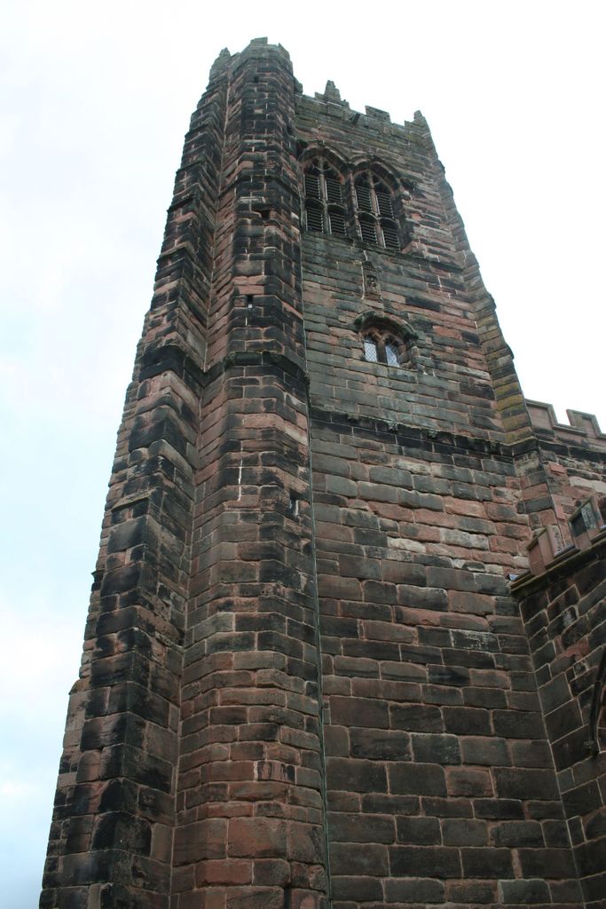
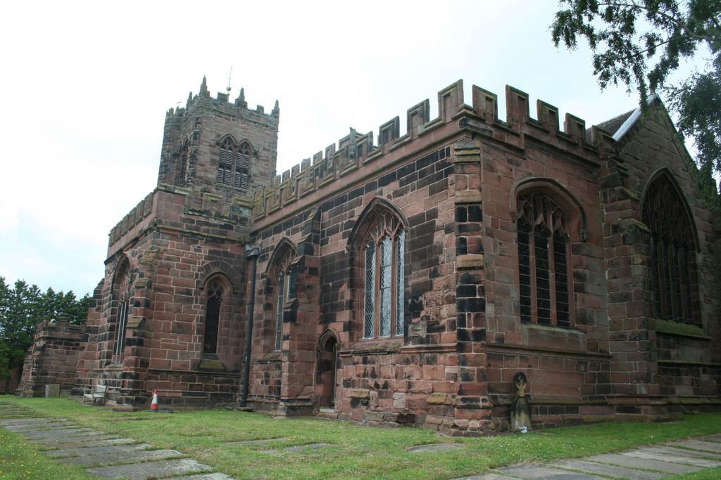
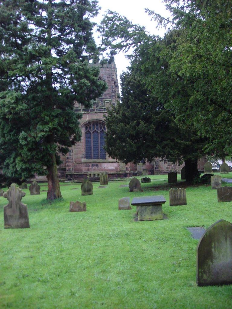
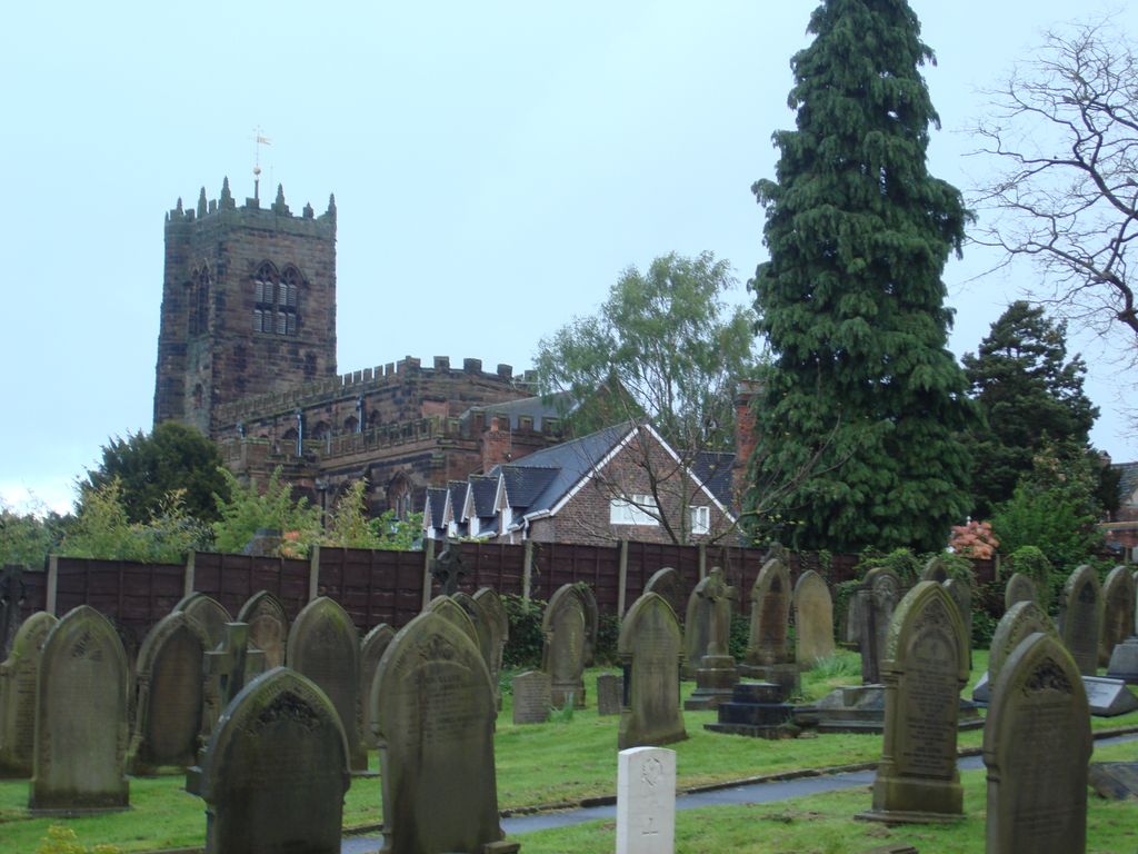
| Memorials | : | 1 |
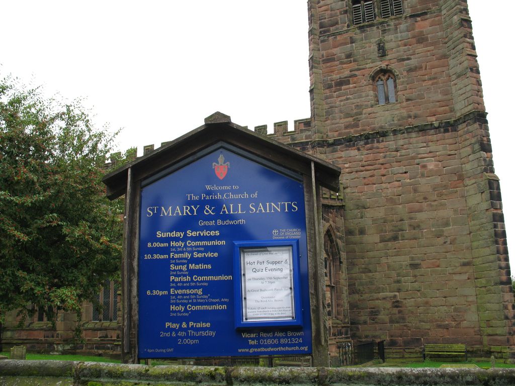
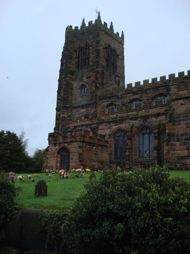
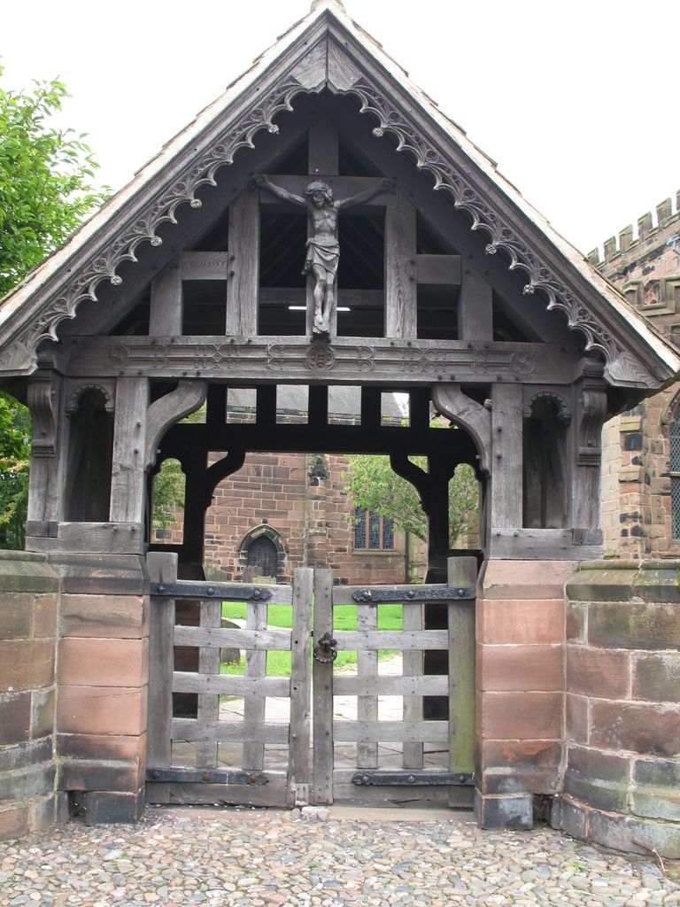
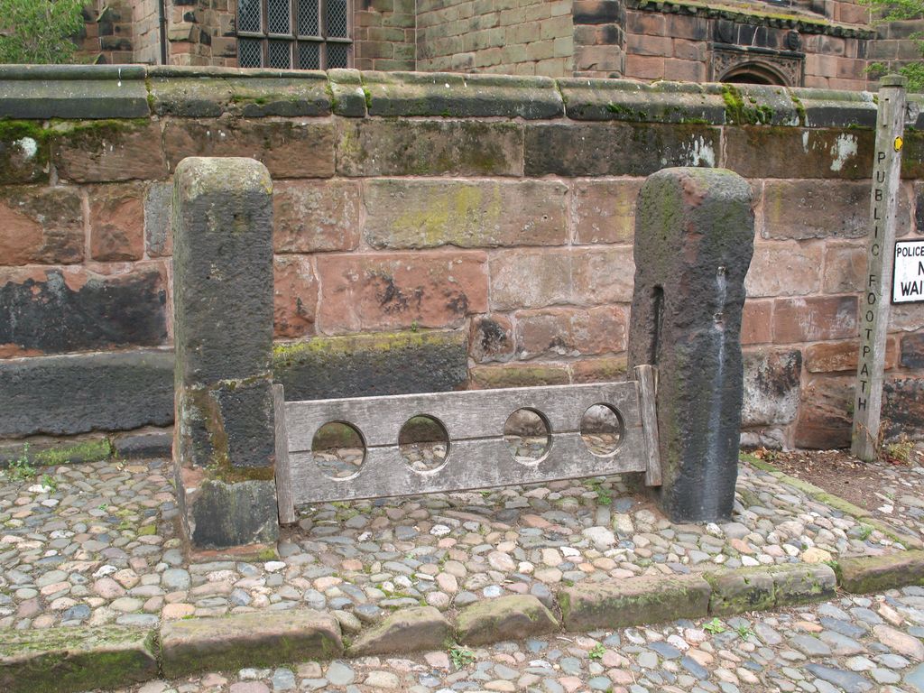
| Location | : | Great Budworth, Cheshire West and Chester Unitary Authority, England |
| Coordinate | : | 53.2936000, -2.5043000 |
frequently asked questions (FAQ):
-
Where is St. Mary and All Saints Churchyard?
St. Mary and All Saints Churchyard is located at Great Budworth, Cheshire West and Chester Unitary Authority ,Cheshire ,England.
-
St. Mary and All Saints Churchyard cemetery's updated grave count on graveviews.com?
1 memorials
-
Where are the coordinates of the St. Mary and All Saints Churchyard?
Latitude: 53.2936000
Longitude: -2.5043000

Nearby Cemetories:
1. St. Paul's Churchyard
Marston, Cheshire West and Chester Unitary Authority, England
Coordinate: 53.2819250, -2.4899741
2. St. Mark's Churchyard
Antrobus, Cheshire West and Chester Unitary Authority, England
Coordinate: 53.3122200, -2.5350400
3. Barnton Cemetery
Barnton, Cheshire West and Chester Unitary Authority, England
Coordinate: 53.2735320, -2.5407780
4. Frandley Quaker Burial Ground
Antrobus, Cheshire West and Chester Unitary Authority, England
Coordinate: 53.3081893, -2.5484550
5. St Wilfrid Roman Catholic Churchyard
Northwich, Cheshire West and Chester Unitary Authority, England
Coordinate: 53.2621080, -2.5068050
6. St. Helen Witton Churchyard
Northwich, Cheshire West and Chester Unitary Authority, England
Coordinate: 53.2602000, -2.5046000
7. St John the Evangelist Churchyard
Lostock Gralam, Cheshire West and Chester Unitary Authority, England
Coordinate: 53.2693370, -2.4636730
8. Witton Cemetery
Northwich, Cheshire West and Chester Unitary Authority, England
Coordinate: 53.2584600, -2.5052600
9. Little Leigh Baptist Churchyard
Little Leigh, Cheshire West and Chester Unitary Authority, England
Coordinate: 53.2911690, -2.5759770
10. Saint Luke's
Lower Whitley, Cheshire West and Chester Unitary Authority, England
Coordinate: 53.3054000, -2.5802000
11. Whitley Quaker Burial Ground
Lower Whitley, Cheshire West and Chester Unitary Authority, England
Coordinate: 53.3128000, -2.5774000
12. Vale Royal Crematorium
Davenham, Cheshire West and Chester Unitary Authority, England
Coordinate: 53.2432856, -2.4925470
13. St. Mary's Churchyard
Weaverham, Cheshire West and Chester Unitary Authority, England
Coordinate: 53.2637800, -2.5757800
14. Birches Remembrance Park and Crematorium
Lach Dennis, Cheshire West and Chester Unitary Authority, England
Coordinate: 53.2522730, -2.4510368
15. Saint Wilfrid's Churchyard
Davenham, Cheshire West and Chester Unitary Authority, England
Coordinate: 53.2372000, -2.5060000
16. Appleton Thorn St. Cross Churchyard
Appleton, Warrington Unitary Authority, England
Coordinate: 53.3501000, -2.5455000
17. Saint Matthew's Churchyard
Stretton, Warrington Unitary Authority, England
Coordinate: 53.3403000, -2.5717310
18. Tabley Hill Cemetery
Knutsford, Cheshire East Unitary Authority, England
Coordinate: 53.3118420, -2.3972480
19. St. Oswald's Churchyard
Lower Peover, Cheshire West and Chester Unitary Authority, England
Coordinate: 53.2638850, -2.3863890
20. Saint John the Baptist Churchyard
Knutsford, Cheshire East Unitary Authority, England
Coordinate: 53.3030630, -2.3728940
21. Saint Mary's Churchyard
Whitegate, Cheshire West and Chester Unitary Authority, England
Coordinate: 53.2199680, -2.5572330
22. Brook Street Unitarian Chapel
Knutsford, Cheshire East Unitary Authority, England
Coordinate: 53.3016610, -2.3701670
23. Christ Church Churchyard
Crowton, Cheshire West and Chester Unitary Authority, England
Coordinate: 53.2663956, -2.6311641
24. St Wilfrid's Churchyard
Grappenhall, Warrington Unitary Authority, England
Coordinate: 53.3723000, -2.5434000