
| Memorials | : | 0 |
| Location | : | Henlow, Central Bedfordshire Unitary Authority, England |
| Website | : | www.henlowchurch.org.uk |
| Coordinate | : | 52.0348580, -0.2834610 |
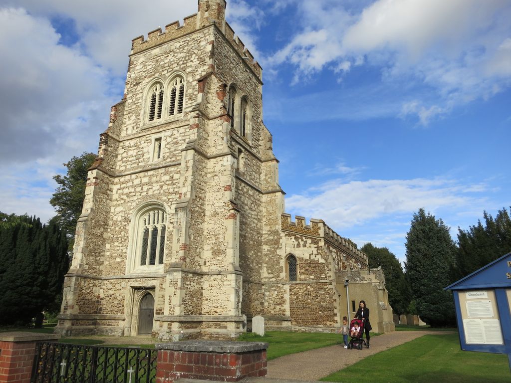
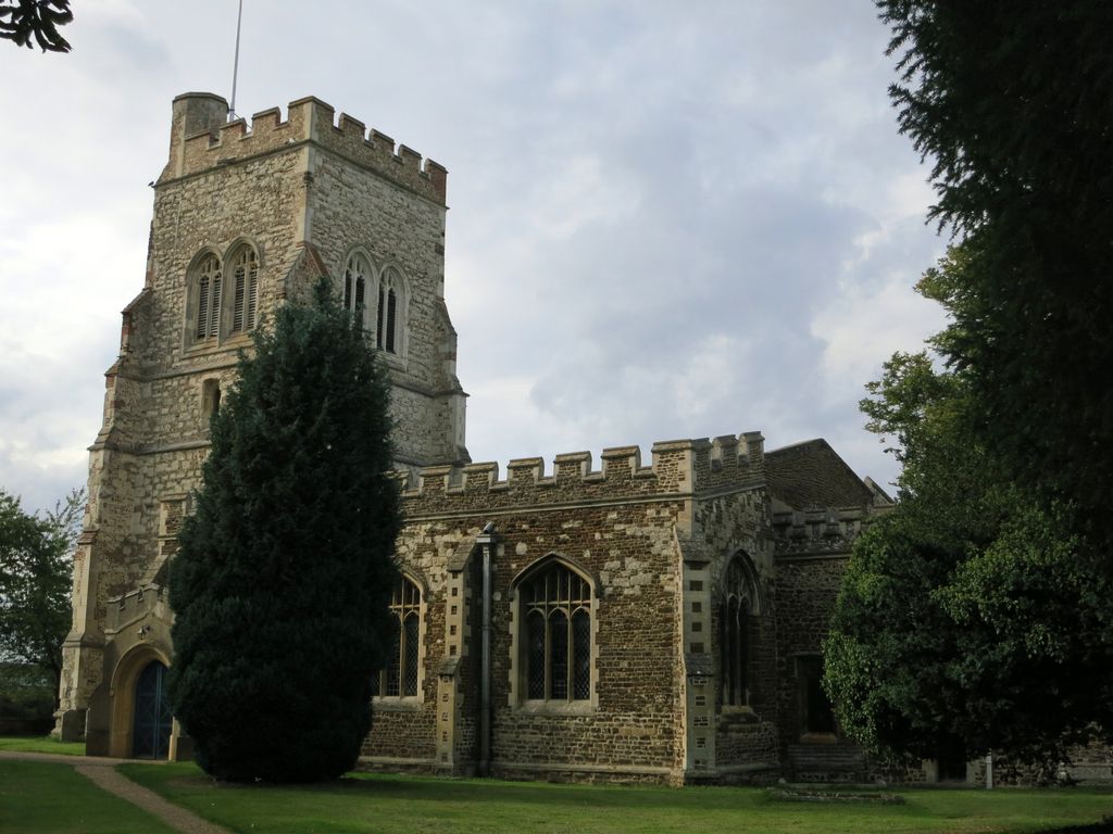
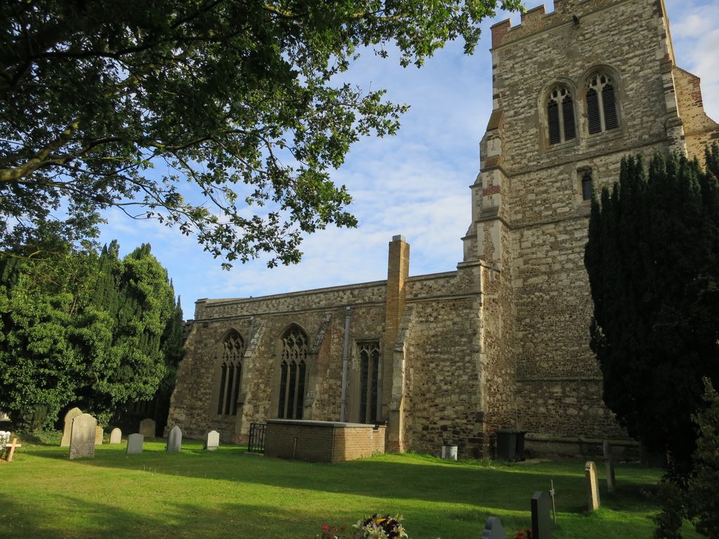
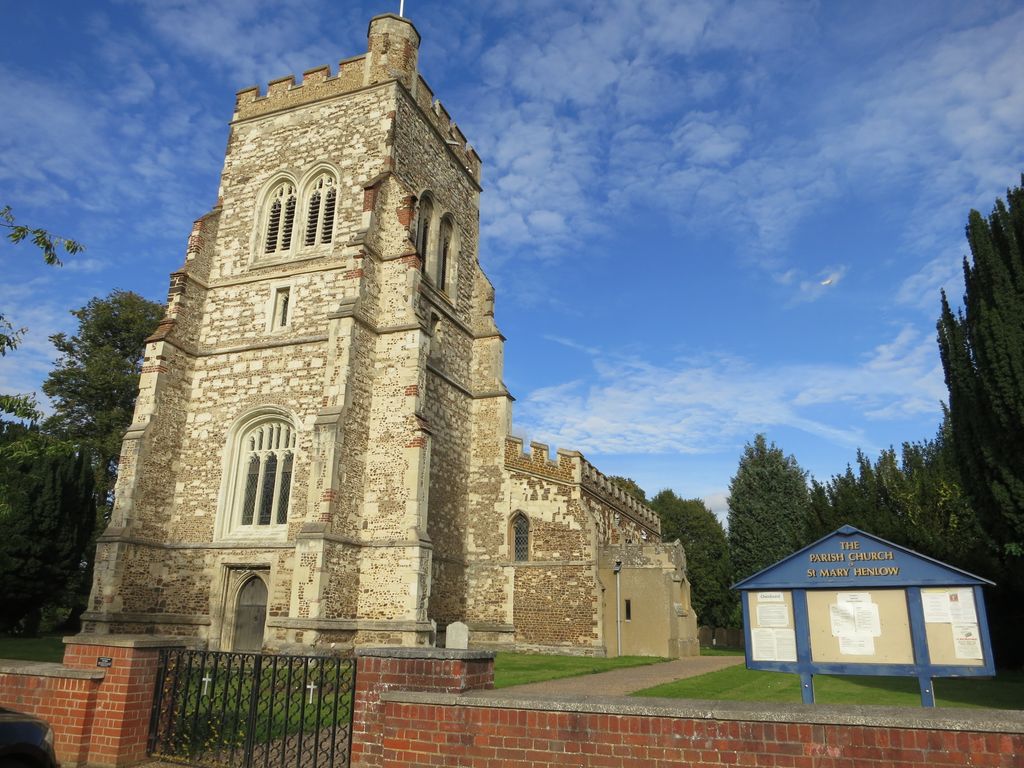
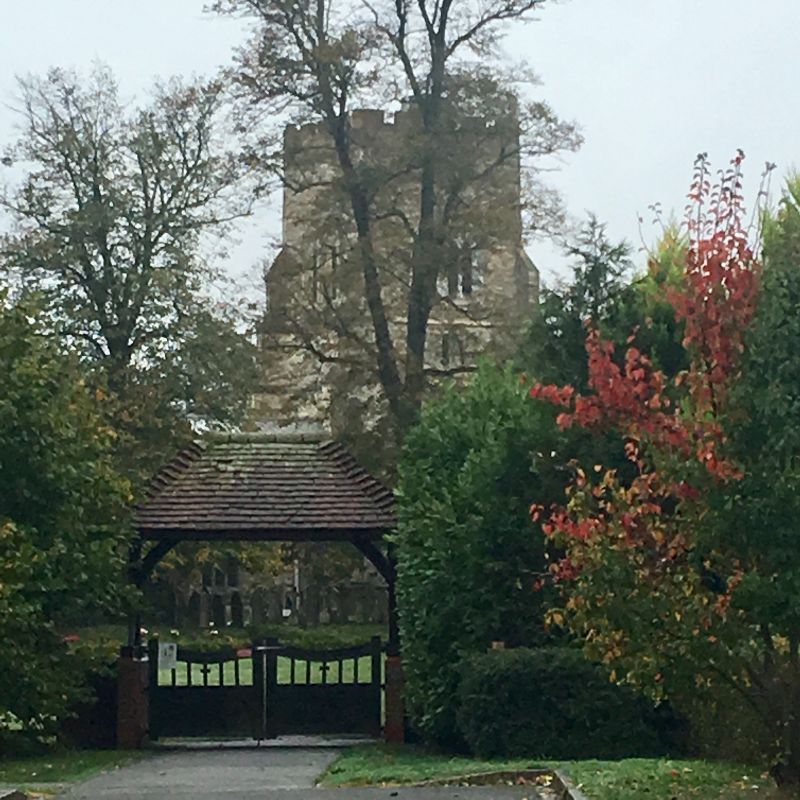
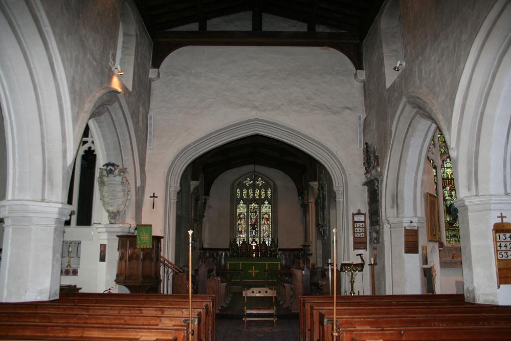
| Description | : | The Church of Saint Mary the Virgin, Henlow, dates back to the twelfth century, but the current building dates mostly from the fifteenth century. The church is mostly in Perpendicular Gothic style with a three-stage tower added in the fifteenth century. The church and the village of Henlow have a connection with the ship Mayflower and some of its passengers. A memorial plaque affixed to an interior wall of the church was erected by the Pilgrim John Howland Society in 1989 commemorating John Tilley; his wife, Joan (Hurst) Tilley; and their daughter, Elizabeth, all three of whom were... Read More |
frequently asked questions (FAQ):
-
Where is St Mary Churchyard?
St Mary Churchyard is located at Henlow, Central Bedfordshire Unitary Authority ,Bedfordshire ,England.
-
St Mary Churchyard cemetery's updated grave count on graveviews.com?
0 memorials
-
Where are the coordinates of the St Mary Churchyard?
Latitude: 52.0348580
Longitude: -0.2834610
Nearby Cemetories:
1. All Saints Churchyard
Clifton, Central Bedfordshire Unitary Authority, England
Coordinate: 52.0393990, -0.3015550
2. Clifton Friends Burial Ground
Clifton, Central Bedfordshire Unitary Authority, England
Coordinate: 52.0378800, -0.3033100
3. All Saints New Churchyard
Clifton, Central Bedfordshire Unitary Authority, England
Coordinate: 52.0403500, -0.3018700
4. Clifton Baptist Chapelyard
Clifton, Central Bedfordshire Unitary Authority, England
Coordinate: 52.0398940, -0.3025180
5. St. Peter's Churchyard
Arlesey, Central Bedfordshire Unitary Authority, England
Coordinate: 52.0234710, -0.2643140
6. St Andrew Churchyard
Langford, Central Bedfordshire Unitary Authority, England
Coordinate: 52.0583270, -0.2721350
7. Langford Cemetery
Langford, Central Bedfordshire Unitary Authority, England
Coordinate: 52.0640000, -0.2710830
8. Fairfield Hospital Cemetery
Stotfold, Central Bedfordshire Unitary Authority, England
Coordinate: 52.0040420, -0.2495440
9. All Saints Churchyard
Upper Stondon, Central Bedfordshire Unitary Authority, England
Coordinate: 52.0065450, -0.3258350
10. Campton and Shefford Cemetery
Campton, Central Bedfordshire Unitary Authority, England
Coordinate: 52.0351600, -0.3483720
11. St Mary the Virgin Churchyard
Stotfold, Central Bedfordshire Unitary Authority, England
Coordinate: 52.0150980, -0.2232980
12. All Saints Churchyard
Southill, Central Bedfordshire Unitary Authority, England
Coordinate: 52.0666240, -0.3298690
13. St George Churchyard
Edworth, Central Bedfordshire Unitary Authority, England
Coordinate: 52.0510350, -0.2189810
14. Stotfold Cemetery
Stotfold, Central Bedfordshire Unitary Authority, England
Coordinate: 52.0186450, -0.2189540
15. All Saints Churchyard
Campton, Central Bedfordshire Unitary Authority, England
Coordinate: 52.0295430, -0.3544430
16. St Mary the Virgin Churchyard
Meppershall, Central Bedfordshire Unitary Authority, England
Coordinate: 52.0102000, -0.3483000
17. Chicksands Priory
Chicksands, Central Bedfordshire Unitary Authority, England
Coordinate: 52.0370000, -0.3600000
18. North Hertfordshire Memorial Park and Crematorium
Holwell, North Hertfordshire District, England
Coordinate: 51.9847244, -0.2967870
19. St Mary Magdalene's Church
Caldecote, North Hertfordshire District, England
Coordinate: 52.0304700, -0.1989020
20. Wilbury Hills Cemetery
Letchworth, North Hertfordshire District, England
Coordinate: 51.9862210, -0.2474770
21. St Andrew Churchyard
Biggleswade, Central Bedfordshire Unitary Authority, England
Coordinate: 52.0875360, -0.2666970
22. St Nicholas Churchyard
Hinxworth, North Hertfordshire District, England
Coordinate: 52.0476210, -0.1970460
23. Drove Road Cemetery
Biggleswade, Central Bedfordshire Unitary Authority, England
Coordinate: 52.0895000, -0.2527300
24. St. Vincent Churchyard
Newnham, North Hertfordshire District, England
Coordinate: 52.0229100, -0.1897200