
| Memorials | : | 0 |
| Location | : | Biggleswade, Central Bedfordshire Unitary Authority, England |
| Coordinate | : | 52.0895000, -0.2527300 |
frequently asked questions (FAQ):
-
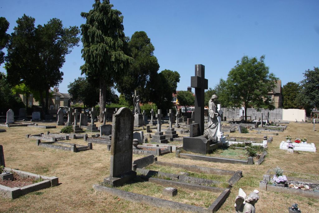
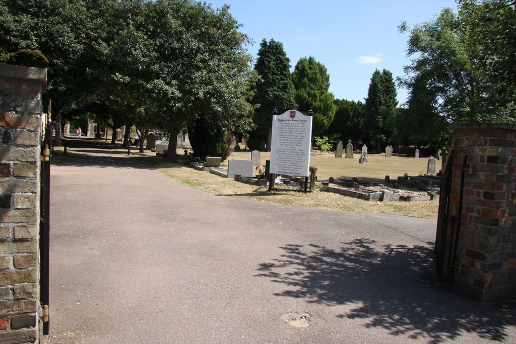
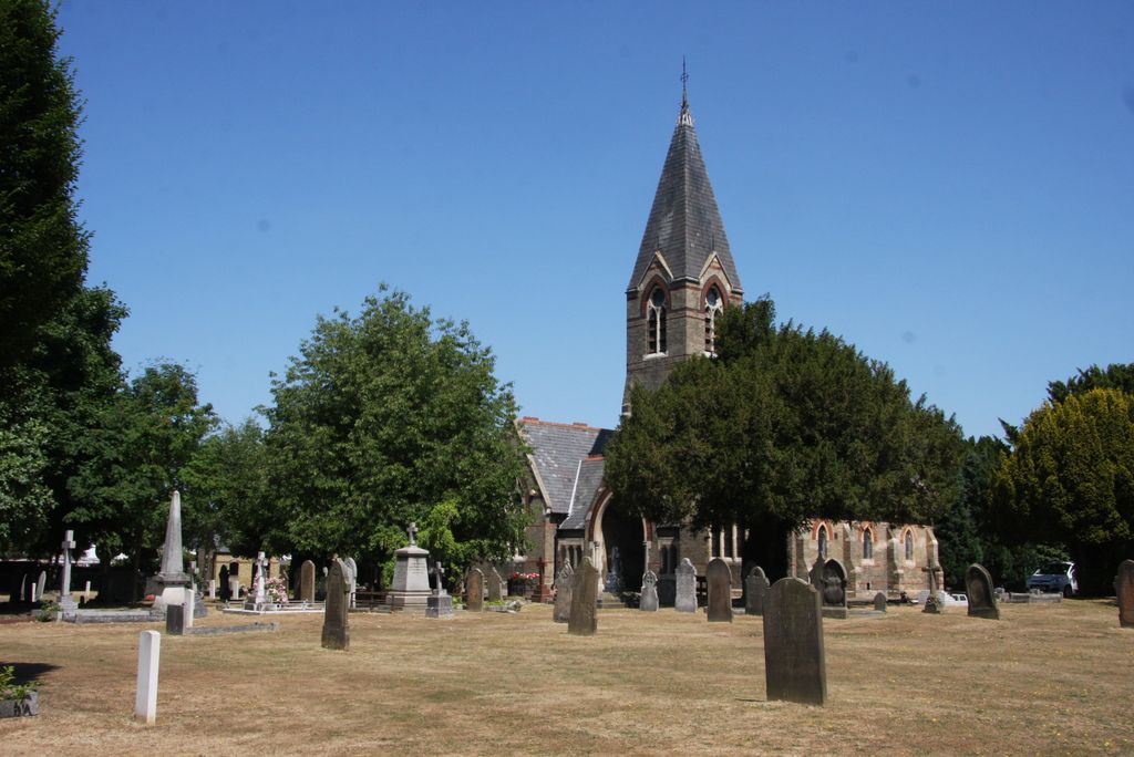
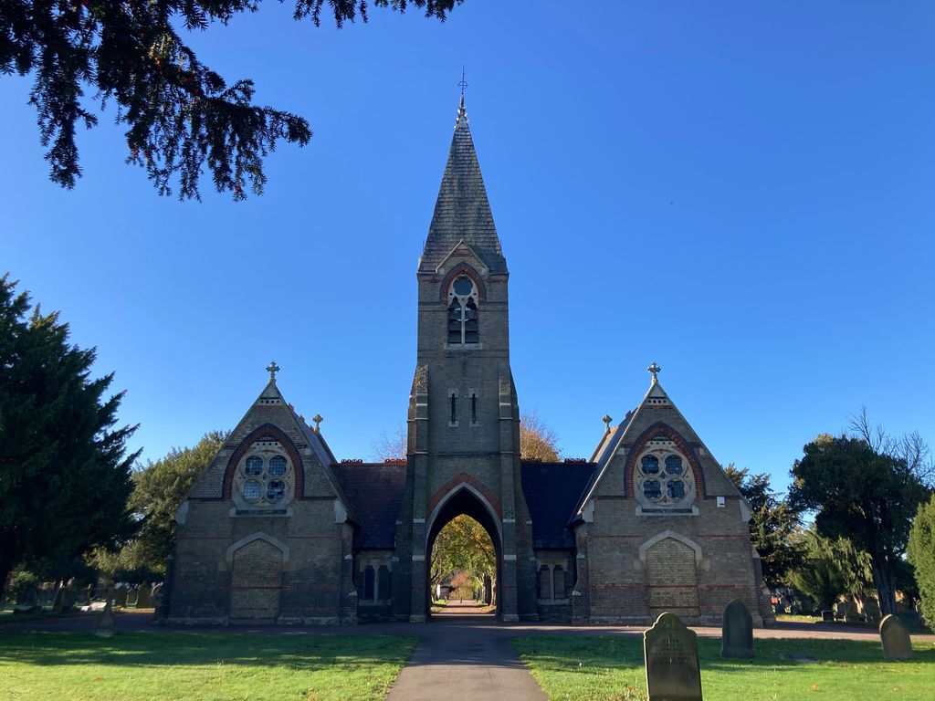
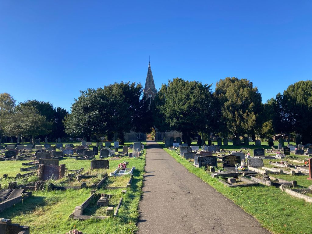
Where is Drove Road Cemetery?
Drove Road Cemetery is located at Drove Road Biggleswade, Central Bedfordshire Unitary Authority ,Bedfordshire ,England.
-
Drove Road Cemetery cemetery's updated grave count on graveviews.com?
0 memorials
-
Where are the coordinates of the Drove Road Cemetery?
Latitude: 52.0895000
Longitude: -0.2527300


Nearby Cemetories:
1. Stratton Way Cemetery
Biggleswade, Central Bedfordshire Unitary Authority, England
Coordinate: 52.0919432, -0.2474864
2. St Andrew Churchyard
Biggleswade, Central Bedfordshire Unitary Authority, England
Coordinate: 52.0875360, -0.2666970
3. Langford Cemetery
Langford, Central Bedfordshire Unitary Authority, England
Coordinate: 52.0640000, -0.2710830
4. All Saints Churchyard
Sutton, Central Bedfordshire Unitary Authority, England
Coordinate: 52.1126500, -0.2212200
5. St Andrew Churchyard
Langford, Central Bedfordshire Unitary Authority, England
Coordinate: 52.0583270, -0.2721350
6. Dunton Cemetery
Dunton, Central Bedfordshire Unitary Authority, England
Coordinate: 52.0820490, -0.1982770
7. St Mary Magdalene Churchyard
Dunton, Central Bedfordshire Unitary Authority, England
Coordinate: 52.0825200, -0.1955600
8. Sandy Cemetery
Sandy, Central Bedfordshire Unitary Authority, England
Coordinate: 52.1245500, -0.2783300
9. St Swithun Churchyard
Sandy, Central Bedfordshire Unitary Authority, England
Coordinate: 52.1273583, -0.2862773
10. Potton Baptist Church (Defunct)
Potton, Central Bedfordshire Unitary Authority, England
Coordinate: 52.1242617, -0.2096524
11. St George Churchyard
Edworth, Central Bedfordshire Unitary Authority, England
Coordinate: 52.0510350, -0.2189810
12. Old Baptist Burial Ground
Sandy, Central Bedfordshire Unitary Authority, England
Coordinate: 52.1299590, -0.2884590
13. St Mary the Virgin Churchyard
Northill, Central Bedfordshire Unitary Authority, England
Coordinate: 52.1053300, -0.3239650
14. All Saints Churchyard
Eyeworth, Central Bedfordshire Unitary Authority, England
Coordinate: 52.0945940, -0.1770800
15. St Mary the Virgin Churchyard
Potton, Central Bedfordshire Unitary Authority, England
Coordinate: 52.1295800, -0.2066700
16. All Saints Churchyard
Southill, Central Bedfordshire Unitary Authority, England
Coordinate: 52.0666240, -0.3298690
17. St Nicholas Churchyard
Hinxworth, North Hertfordshire District, England
Coordinate: 52.0476210, -0.1970460
18. St. Leonard's Churchyard
Old Warden, Central Bedfordshire Unitary Authority, England
Coordinate: 52.0855860, -0.3424550
19. All Saints New Churchyard
Clifton, Central Bedfordshire Unitary Authority, England
Coordinate: 52.0403500, -0.3018700
20. St Mary Churchyard
Henlow, Central Bedfordshire Unitary Authority, England
Coordinate: 52.0348580, -0.2834610
21. Clifton Baptist Chapelyard
Clifton, Central Bedfordshire Unitary Authority, England
Coordinate: 52.0398940, -0.3025180
22. All Saints Churchyard
Clifton, Central Bedfordshire Unitary Authority, England
Coordinate: 52.0393990, -0.3015550
23. Clifton Friends Burial Ground
Clifton, Central Bedfordshire Unitary Authority, England
Coordinate: 52.0378800, -0.3033100
24. St. John the Evangelist Churchyard
Mogerhanger, Central Bedfordshire Unitary Authority, England
Coordinate: 52.1305000, -0.3325000