
| Memorials | : | 0 |
| Location | : | Whicham, Copeland Borough, England |
| Coordinate | : | 54.2326310, -3.3287160 |
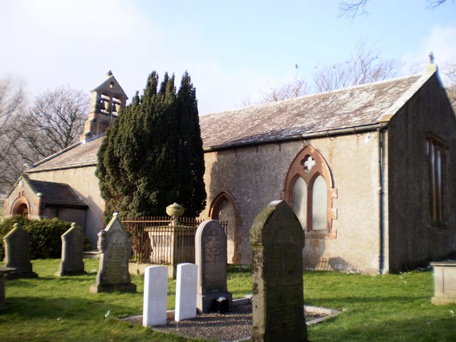
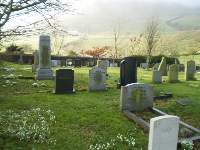
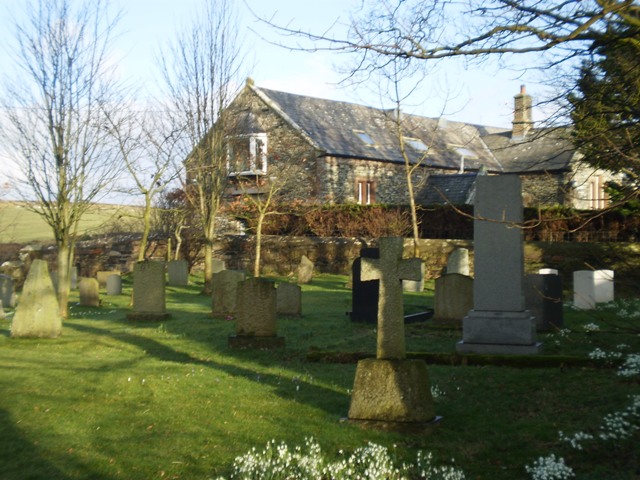
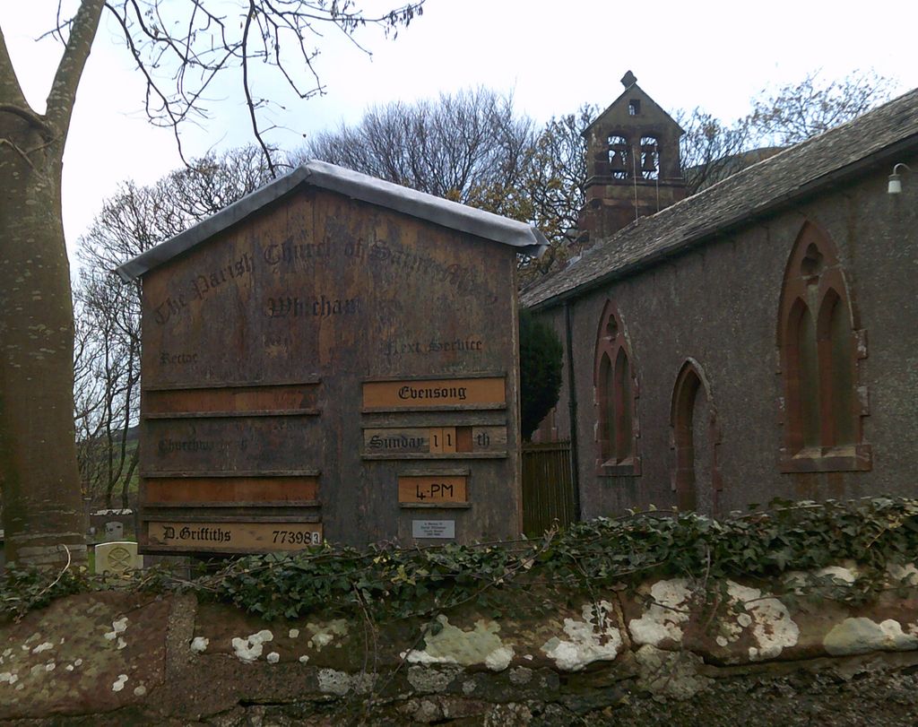
| Description | : | The little Churchyard of St Mary's Whicham, nestles under the protection of Black Coombe. It is a very quiet place with very little traffic. Wrap up warmly as the sea breeze from nearby Silecroft beach can be biting even in the summer months. It is very well maintained, in spring it is filled with a carpet of glorious nodding heads of early snowdrops and the vivid purples and yellows of crocus flowers. Next door to the Churchyard is the old building of the tiny Whicham Grammar School which was founded in 1540 and is reputed to be one of the... Read More |
frequently asked questions (FAQ):
-
Where is St Mary Churchyard?
St Mary Churchyard is located at Whicham, Copeland Borough ,Cumbria , LA18 5LSEngland.
-
St Mary Churchyard cemetery's updated grave count on graveviews.com?
0 memorials
-
Where are the coordinates of the St Mary Churchyard?
Latitude: 54.2326310
Longitude: -3.3287160
Nearby Cemetories:
1. St Mary's Churchyard
Whitbeck, Copeland Borough, England
Coordinate: 54.2438000, -3.3533470
2. Holy Trinity Churchyard
Millom, Copeland Borough, England
Coordinate: 54.2206610, -3.2727780
3. Millom Cemetery
Millom, Copeland Borough, England
Coordinate: 54.2088860, -3.2731320
4. St George Churchyard
Millom, Copeland Borough, England
Coordinate: 54.2085440, -3.2718660
5. St Lukes Churchyard
Haverigg, Copeland Borough, England
Coordinate: 54.1968680, -3.2925720
6. St Anne Churchyard Thwaites
Millom Without, Copeland Borough, England
Coordinate: 54.2584700, -3.2632200
7. St. Michael and All Angels Churchyard
Bootle, Copeland Borough, England
Coordinate: 54.2833510, -3.3732080
8. St. Mary Magdalene Parish Churchyard
Broughton-in-Furness, South Lakeland District, England
Coordinate: 54.2761400, -3.2152660
9. St. John The Baptist Churchyard
Corney, Copeland Borough, England
Coordinate: 54.3099720, -3.3656840
10. St Cuthbert's Churchyard
Kirkby Ireleth, South Lakeland District, England
Coordinate: 54.2298000, -3.1770820
11. Wall End Church of Christ Cemetery
Kirkby in Furness, South Lakeland District, England
Coordinate: 54.2389300, -3.1753120
12. St. Peter's Churchyard
Ireleth, Barrow-in-Furness Borough, England
Coordinate: 54.1871790, -3.1909530
13. Ulpha Churchyard Extension
Ulpha, Copeland Borough, England
Coordinate: 54.3282170, -3.2350270
14. St. John the Baptist Churchyard
Ulpha, Copeland Borough, England
Coordinate: 54.3285020, -3.2349130
15. St Mary Dalton In Furness Churchyard
Dalton-in-Furness, Barrow-in-Furness Borough, England
Coordinate: 54.1548790, -3.1870490
16. St John's Church
Waberthwaite, Copeland Borough, England
Coordinate: 54.3433418, -3.3854907
17. St John the Evangelist
Woodland, South Lakeland District, England
Coordinate: 54.2919829, -3.1579023
18. Dalton-in-Furness Cemetery
Dalton-in-Furness, Barrow-in-Furness Borough, England
Coordinate: 54.1518460, -3.1851620
19. St Peter's Church
Lindal and Marton, Barrow-in-Furness Borough, England
Coordinate: 54.1728010, -3.1514610
20. Barrow Cemetery and Crematorium
Barrow-In-Furness, Barrow-in-Furness Borough, England
Coordinate: 54.1261730, -3.2255870
21. Saint Michael and The Holy Angels Churchyard
Pennington, South Lakeland District, England
Coordinate: 54.1873000, -3.1315900
22. Furness Abbey
Barrow-In-Furness, Barrow-in-Furness Borough, England
Coordinate: 54.1352780, -3.1977780
23. Saint Michael and All Angels
Muncaster, Copeland Borough, England
Coordinate: 54.3567850, -3.3802270
24. St John the Evangelist's Church
Osmotherley, South Lakeland District, England
Coordinate: 54.2298882, -3.1077388