
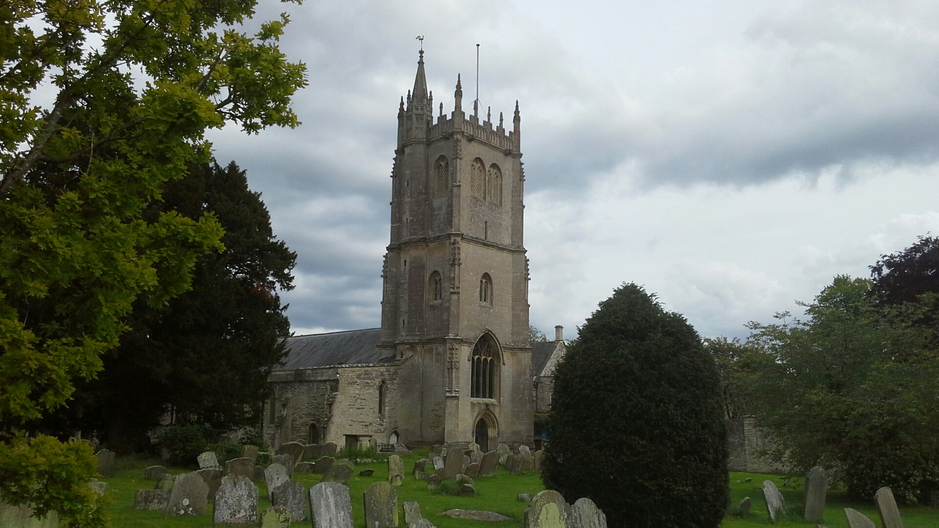
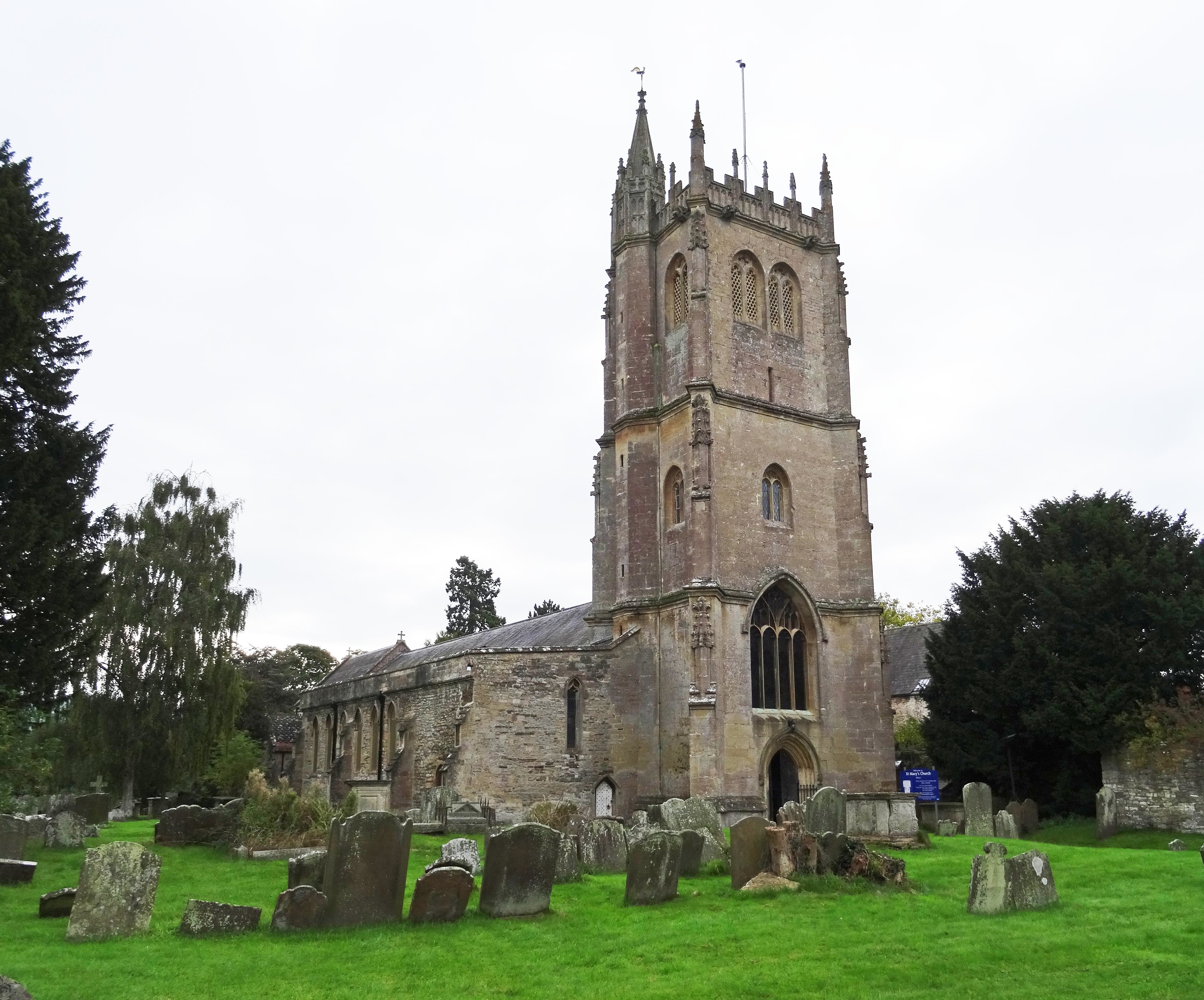
| Memorials | : | 323 |
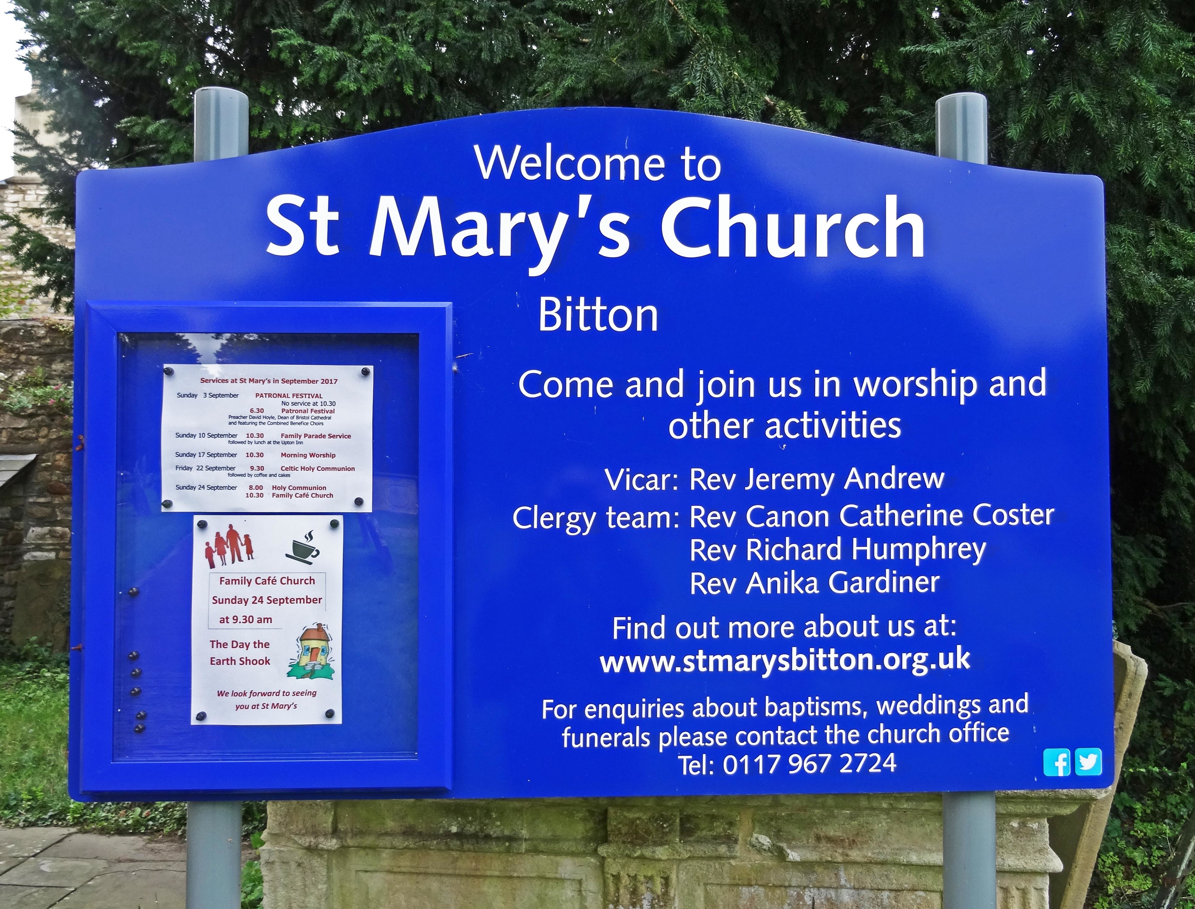
| Location | : | Bitton, South Gloucestershire Unitary Authority, England |
| Coordinate | : | 51.4223600, -2.4599100 |
frequently asked questions (FAQ):
-
Where is St. Mary Churchyard?
St. Mary Churchyard is located at 42 Church Road Bitton, South Gloucestershire Unitary Authority ,Gloucestershire , BS30 6LJEngland.
-
St. Mary Churchyard cemetery's updated grave count on graveviews.com?
0 memorials
-
Where are the coordinates of the St. Mary Churchyard?
Latitude: 51.4223600
Longitude: -2.4599100

Nearby Cemetories:
1. Blessed Virgin Mary Churchyard
Saltford, Bath and North East Somerset Unitary Authority, England
Coordinate: 51.4056845, -2.4528274
2. St Anne Churchyard
Oldland, South Gloucestershire Unitary Authority, England
Coordinate: 51.4381800, -2.4780900
3. St. Martin Churchyard
Northstoke, Bath and North East Somerset Unitary Authority, England
Coordinate: 51.4202400, -2.4273800
4. Keynsham Abbey
Keynsham, Bath and North East Somerset Unitary Authority, England
Coordinate: 51.4172000, -2.4961000
5. St. John the Baptist Churchyard
Keynsham, Bath and North East Somerset Unitary Authority, England
Coordinate: 51.4174570, -2.4987140
6. Ebenezer Baptist Church
Keynsham, Bath and North East Somerset Unitary Authority, England
Coordinate: 51.4160710, -2.4983170
7. St. Nicholas Churchyard
Kelston, Bath and North East Somerset Unitary Authority, England
Coordinate: 51.4006420, -2.4344010
8. Ebenezer Methodist Chapel
Warmley, South Gloucestershire Unitary Authority, England
Coordinate: 51.4514960, -2.4779637
9. Keynsham Cemetery
Keynsham, Bath and North East Somerset Unitary Authority, England
Coordinate: 51.4212975, -2.5116095
10. St. Barnabas Church of England Churchyard
Bristol, Bristol Unitary Authority, England
Coordinate: 51.4570643, -2.4704304
11. St. Barnabas Churchyard
Warmley, South Gloucestershire Unitary Authority, England
Coordinate: 51.4570800, -2.4704100
12. Landsdowne Hill Burial Ground
Lansdown, Bath and North East Somerset Unitary Authority, England
Coordinate: 51.4314290, -2.4014230
13. Saint Michael Churchyard
Keynsham, Bath and North East Somerset Unitary Authority, England
Coordinate: 51.3865690, -2.4830350
14. All Saints Churchyard
Corston, Bath and North East Somerset Unitary Authority, England
Coordinate: 51.3857350, -2.4400372
15. Hanham Baptist Church Cemetery
Hanham, South Gloucestershire Unitary Authority, England
Coordinate: 51.4474802, -2.5107480
16. Holy Trinity Churchyard
Newton St Loe, Bath and North East Somerset Unitary Authority, England
Coordinate: 51.3820470, -2.4311300
17. Hanham United Reform Church Cemetery
Hanham, South Gloucestershire Unitary Authority, England
Coordinate: 51.4509706, -2.5189809
18. Christ Church Churchyard
Hanham, South Gloucestershire Unitary Authority, England
Coordinate: 51.4484992, -2.5222650
19. Queen Charlton St. Margaret Churchyard
Compton Dando, Bath and North East Somerset Unitary Authority, England
Coordinate: 51.4009300, -2.5271800
20. Saint Margaret Churchyard
Compton Dando, Bath and North East Somerset Unitary Authority, England
Coordinate: 51.4009330, -2.5272136
21. Holy Trinity Churchyard
Kingswood, South Gloucestershire Unitary Authority, England
Coordinate: 51.4619990, -2.5040620
22. Master's Church Cemetery
Kingswood, South Gloucestershire Unitary Authority, England
Coordinate: 51.4630871, -2.5068932
23. Countess of Huntingdon's Chapel
Walcot, Bath and North East Somerset Unitary Authority, England
Coordinate: 51.3967020, -2.3907434
24. All Saints Churchyard
Weston, Bath and North East Somerset Unitary Authority, England
Coordinate: 51.3956850, -2.3881320