
| Memorials | : | 0 |
| Location | : | Lansdown, Bath and North East Somerset Unitary Authority, England |
| Coordinate | : | 51.4314290, -2.4014230 |
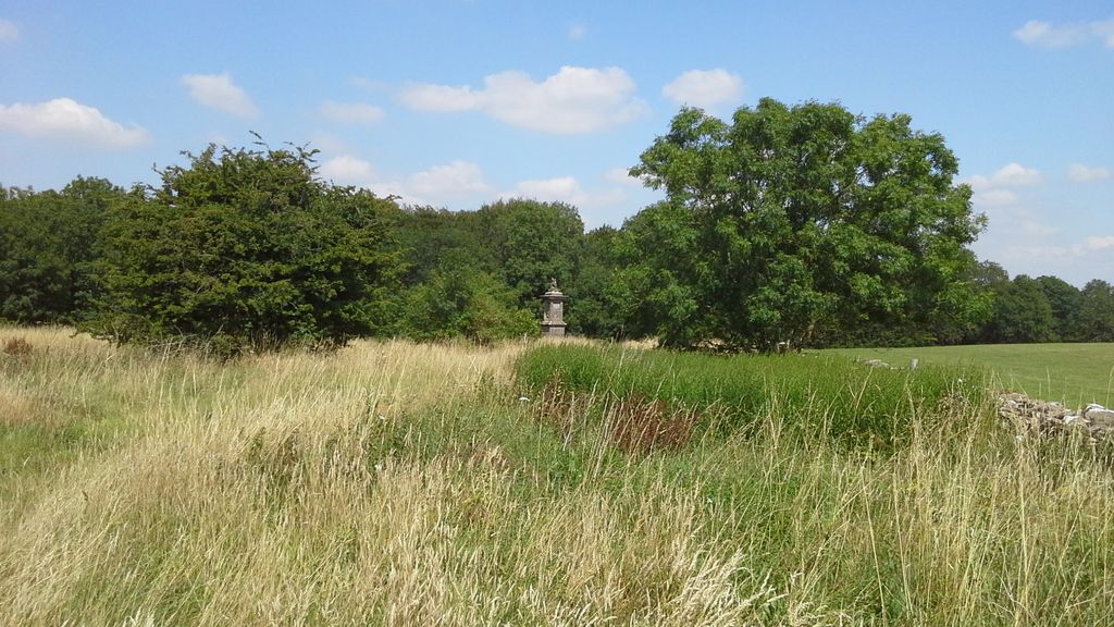
| Description | : | Site of the 1643 Battle of Landsdowne where Sir Bevil Grenville was killed in defense of the crown, and where his monument stands today. |
frequently asked questions (FAQ):
-
Where is Landsdowne Hill Burial Ground?
Landsdowne Hill Burial Ground is located at Lansdown, Bath and North East Somerset Unitary Authority ,Somerset ,England.
-
Landsdowne Hill Burial Ground cemetery's updated grave count on graveviews.com?
0 memorials
-
Where are the coordinates of the Landsdowne Hill Burial Ground?
Latitude: 51.4314290
Longitude: -2.4014230

Nearby Cemetories:
1. St Mary Magdalene
Langridge, Bath and North East Somerset Unitary Authority, England
Coordinate: 51.4242860, -2.3750640
2. St. Martin Churchyard
Northstoke, Bath and North East Somerset Unitary Authority, England
Coordinate: 51.4202400, -2.4273800
3. Lansdown Cemetery
Lansdown, Bath and North East Somerset Unitary Authority, England
Coordinate: 51.4063620, -2.3780520
4. All Saints Churchyard
Woolley, Bath and North East Somerset Unitary Authority, England
Coordinate: 51.4149600, -2.3612130
5. Holy Trinity Churchyard
Cold Ashton, South Gloucestershire Unitary Authority, England
Coordinate: 51.4530440, -2.3597430
6. Countess of Huntingdon's Chapel
Walcot, Bath and North East Somerset Unitary Authority, England
Coordinate: 51.3967020, -2.3907434
7. St. Mary the Blessed Virgin Churchyard
Swainswick, Bath and North East Somerset Unitary Authority, England
Coordinate: 51.4142080, -2.3514370
8. Blessed Virgin Mary Churchyard
Charlcombe, Bath and North East Somerset Unitary Authority, England
Coordinate: 51.4046040, -2.3629440
9. All Saints Churchyard
Weston, Bath and North East Somerset Unitary Authority, England
Coordinate: 51.3956850, -2.3881320
10. St. Nicholas Churchyard
Kelston, Bath and North East Somerset Unitary Authority, England
Coordinate: 51.4006420, -2.4344010
11. St. Mary Churchyard
Bitton, South Gloucestershire Unitary Authority, England
Coordinate: 51.4223600, -2.4599100
12. Blessed Virgin Mary Churchyard
Saltford, Bath and North East Somerset Unitary Authority, England
Coordinate: 51.4056845, -2.4528274
13. St James The Great Churchyard Cemetery
Abson, South Gloucestershire Unitary Authority, England
Coordinate: 51.4716858, -2.4257848
14. Moravian Burial Ground
Bath, Bath and North East Somerset Unitary Authority, England
Coordinate: 51.3894150, -2.3798150
15. Locksbrook St Saviour's Cemetery
Bath and North East Somerset Unitary Authority, England
Coordinate: 51.3867880, -2.3863380
16. St. Michael's Cemetery
Bath, Bath and North East Somerset Unitary Authority, England
Coordinate: 51.3859700, -2.3814500
17. Locksbrook Cemetery
Lower Weston, Bath and North East Somerset Unitary Authority, England
Coordinate: 51.3845180, -2.3850300
18. St Anne Churchyard
Oldland, South Gloucestershire Unitary Authority, England
Coordinate: 51.4381800, -2.4780900
19. Independent Burial Ground Argyle Chapel
Bath, Bath and North East Somerset Unitary Authority, England
Coordinate: 51.3925420, -2.3536920
20. St Saviour's Church Crypt
Larkhall, Bath and North East Somerset Unitary Authority, England
Coordinate: 51.3956300, -2.3465100
21. Walcot Methodist Chapel Burial Ground
Bath, Bath and North East Somerset Unitary Authority, England
Coordinate: 51.3897080, -2.3579610
22. Church of St Catherine
St Catherine, Bath and North East Somerset Unitary Authority, England
Coordinate: 51.4308200, -2.3212100
23. St. Barnabas Churchyard
Warmley, South Gloucestershire Unitary Authority, England
Coordinate: 51.4570800, -2.4704100
24. St. Barnabas Church of England Churchyard
Bristol, Bristol Unitary Authority, England
Coordinate: 51.4570643, -2.4704304