
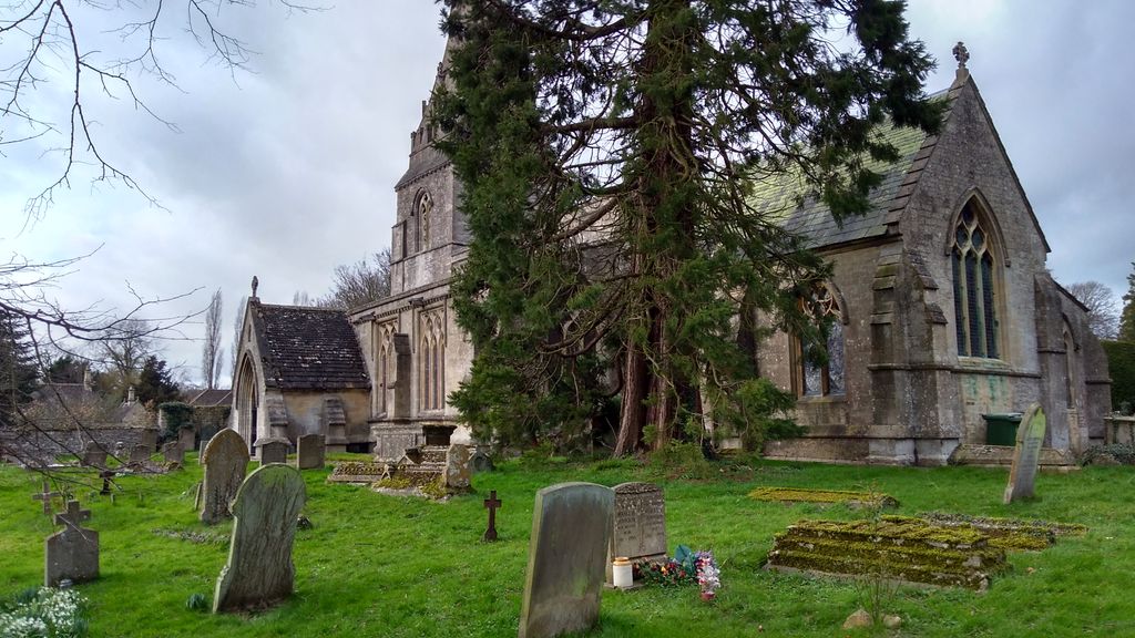
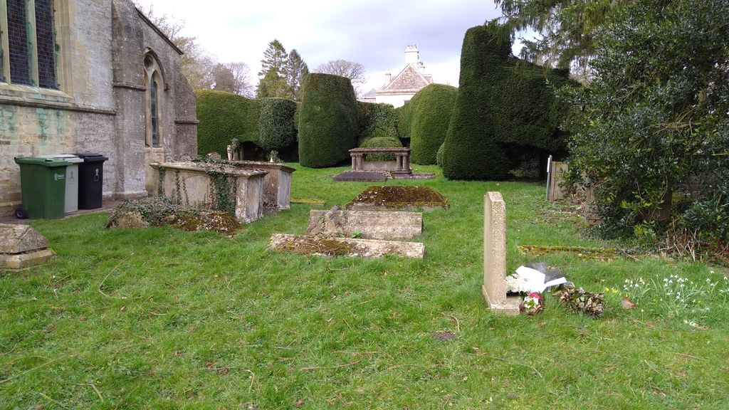
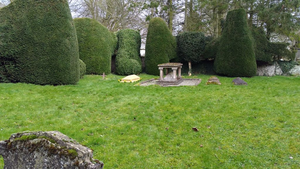
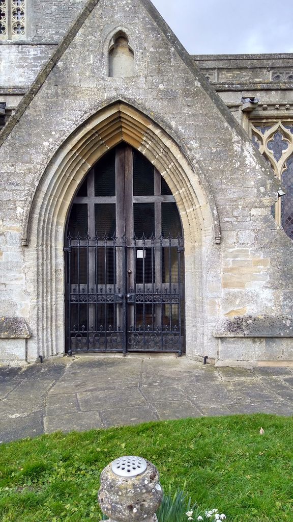
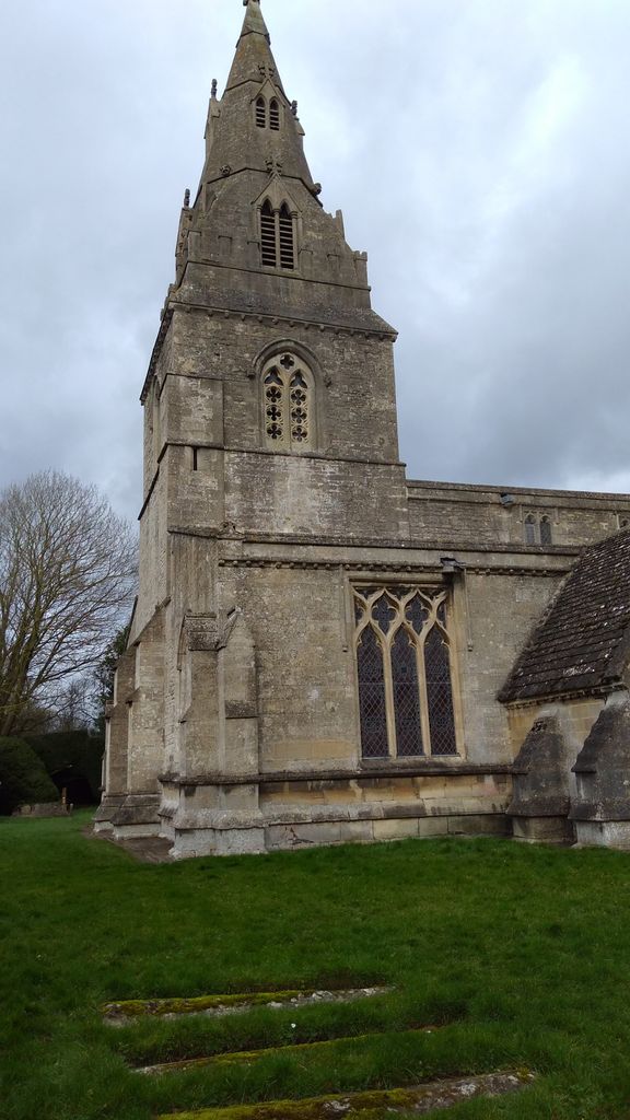
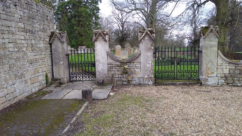
| Memorials | : | 1 |
| Location | : | Clipsham, Rutland Unitary Authority, England |
frequently asked questions (FAQ):
-
Where is St Mary Churchyard?
St Mary Churchyard is located at No GPS information available Add GPSChurch Lane Clipsham, Rutland Unitary Authority ,Rutland , LE15 7SFEngland.
-
St Mary Churchyard cemetery's updated grave count on graveviews.com?
1 memorials

Nearby Cemetories:
1. St John the Baptist Churchyard
Bisbrooke, Rutland Unitary Authority, England
Coordinate: 52.7144490, -0.7200580
2. Cottesmore Rogues Lane Cemetery
Cottesmore, Rutland Unitary Authority, England
3. St. Nicholas Churchyard
Cottesmore, Rutland Unitary Authority, England
4. St. Andrew's Churchyard
Glaston, Rutland Unitary Authority, England
5. Ketton Empingham Road Cemetery
Ketton, Rutland Unitary Authority, England
Coordinate: 52.7026000, -0.4489000
6. Ketton Park Burial Ground
Ketton, Rutland Unitary Authority, England
Coordinate: 52.6585060, -0.6712280
7. Ketton St Mary the Virgin Churchyard
Ketton, Rutland Unitary Authority, England
8. Manton Cemetery
Manton, Rutland Unitary Authority, England
Coordinate: 52.6186570, -0.6211140
9. St Mary Churchyard
Manton, Rutland Unitary Authority, England
10. St Peter & Paul Churchyard
Preston, Rutland Unitary Authority, England
Coordinate: 52.6067200, -0.6114100
11. St Andrew Churchyard
Stoke Dry, Rutland Unitary Authority, England
Coordinate: 52.5975766, -0.7413414
12. St Luke
Tixover, Rutland Unitary Authority, England
Coordinate: 52.5996800, -0.7324400
13. St Mary the Virgin Churchyard
Ashwell, Rutland Unitary Authority, England
Coordinate: 52.7144490, -0.7200580
14. Burley Langham Lane Cemetery
Burley, Rutland Unitary Authority, England
15. First Presbyterian Churchyard
Burley, Rutland Unitary Authority, England
16. Holy Cross Church - Burley on the Hill
Burley, Rutland Unitary Authority, England
17. St Mary Magdalene Churchyard
Essendine, Rutland Unitary Authority, England
Coordinate: 52.7026000, -0.4489000
18. St Andrew Churchyard
Hambleton, Rutland Unitary Authority, England
Coordinate: 52.6585060, -0.6712280
19. St. Andrew's Churchyard
Lyddington, Rutland Unitary Authority, England
20. St. John The Baptist Church
North Luffenham, Rutland Unitary Authority, England
Coordinate: 52.6186570, -0.6211140
21. South Luffenham Stamford Road Cemetery
South Luffenham, Rutland Unitary Authority, England
22. St Mary the Virgin Churchyard
South Luffenham, Rutland Unitary Authority, England
Coordinate: 52.6067200, -0.6114100
23. Leicester Road Cemetery
Uppingham, Rutland Unitary Authority, England
Coordinate: 52.5975766, -0.7413414
24. St. Mary the Virgin Churchyard
Uppingham, Rutland Unitary Authority, England
Coordinate: 52.5996800, -0.7324400