
| Memorials | : | 0 |
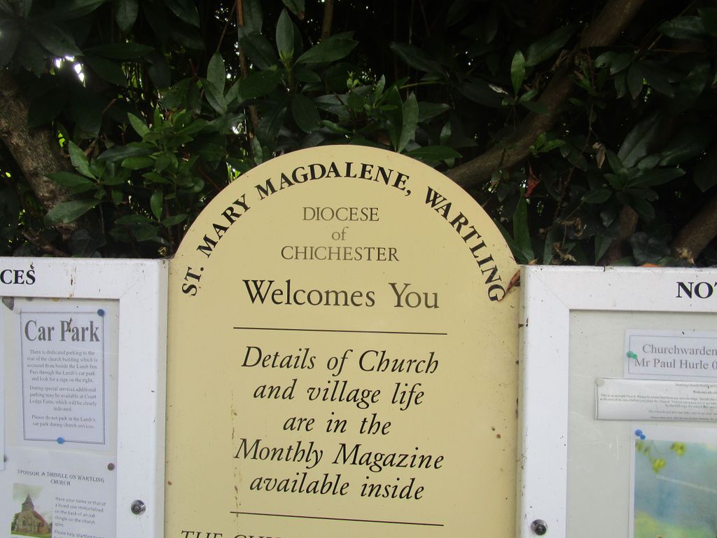
| Location | : | Wartling, Wealden District, England |
| Coordinate | : | 50.8581820, 0.3539830 |
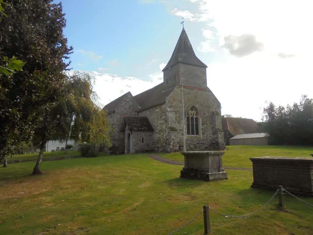
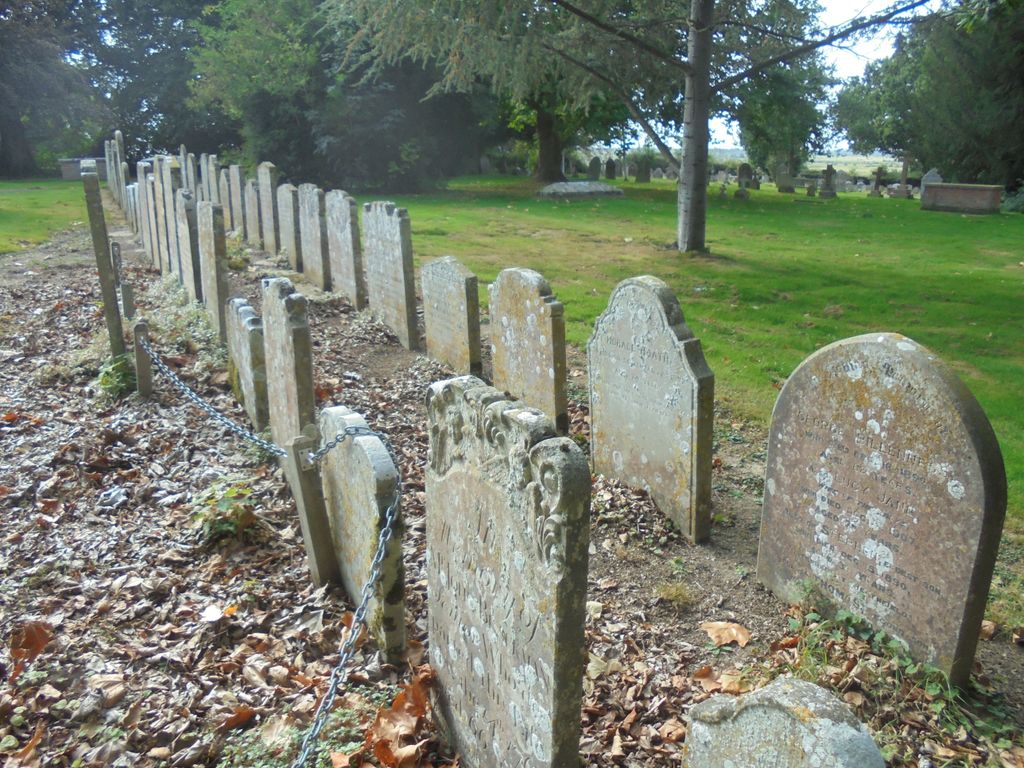
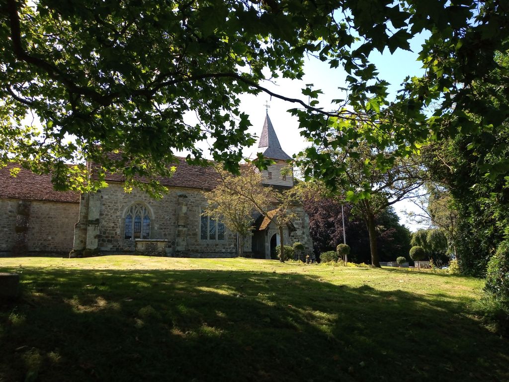
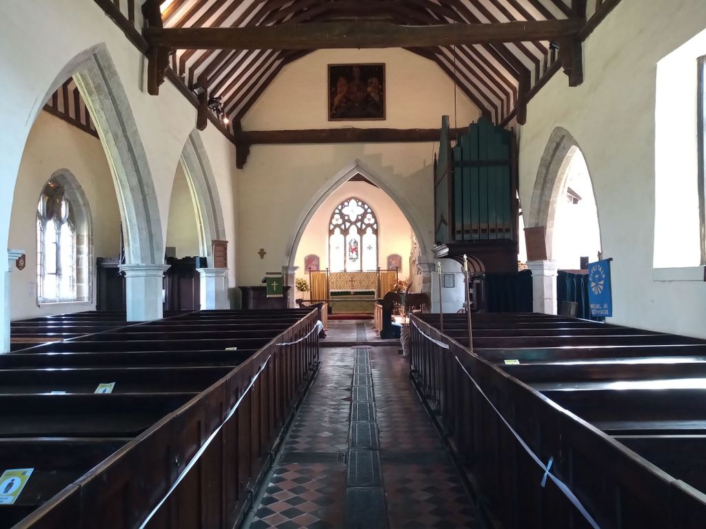
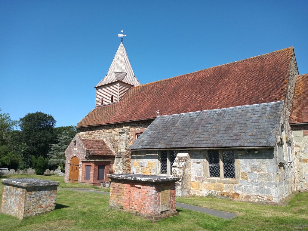
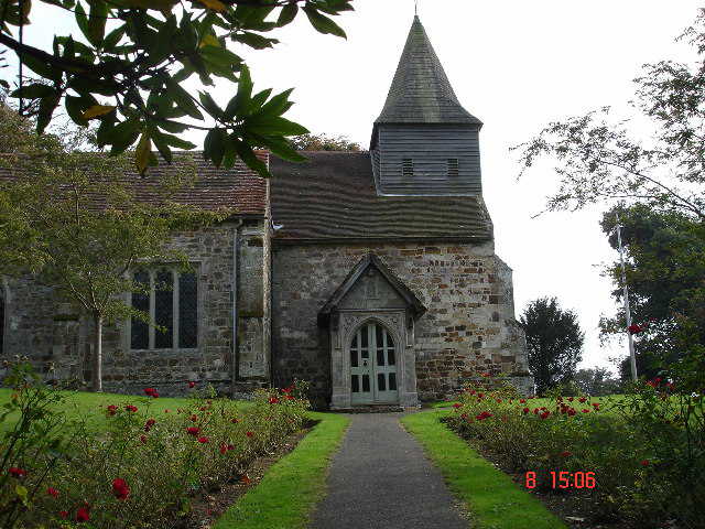
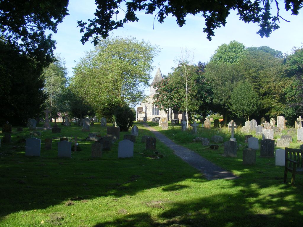
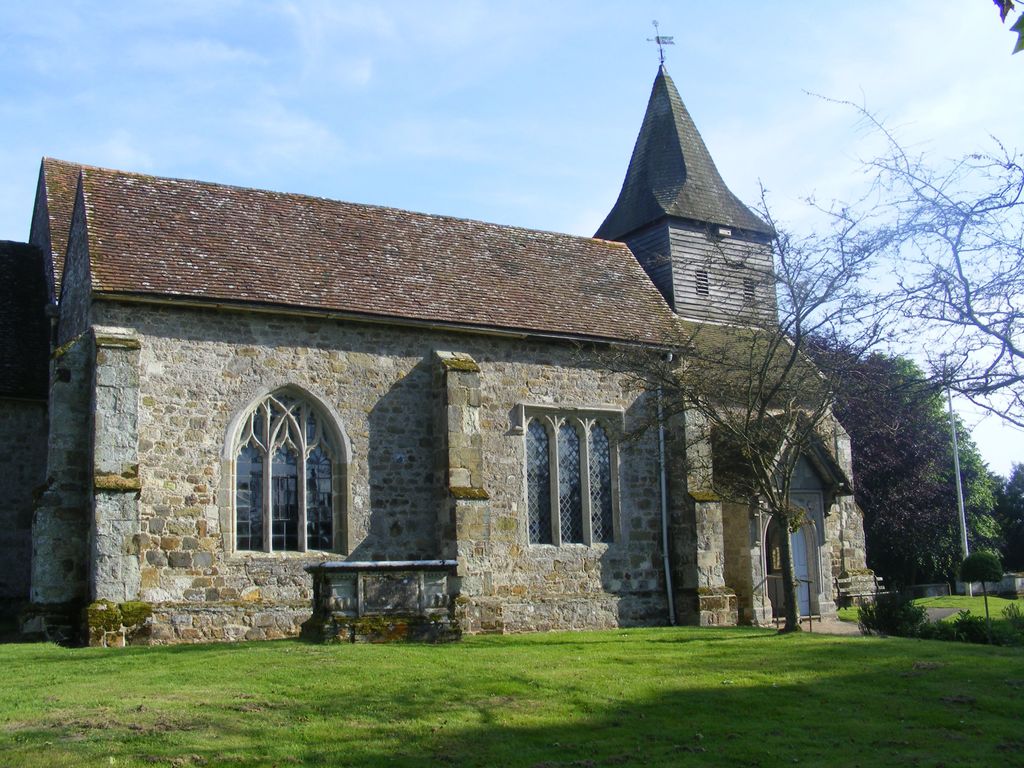
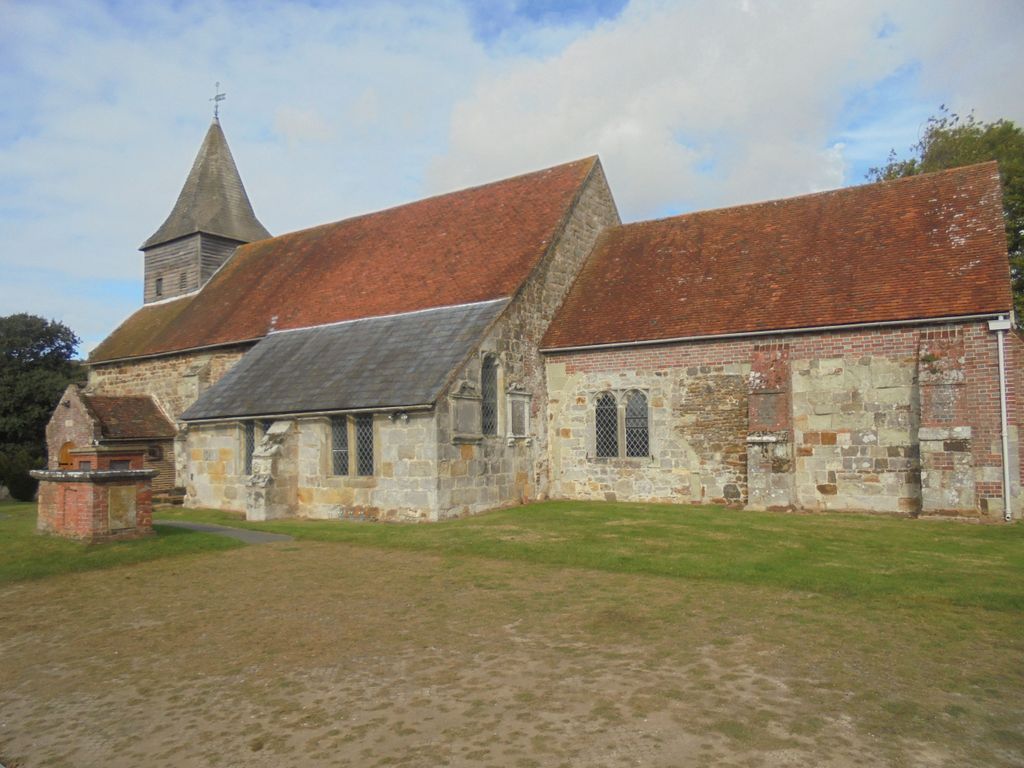
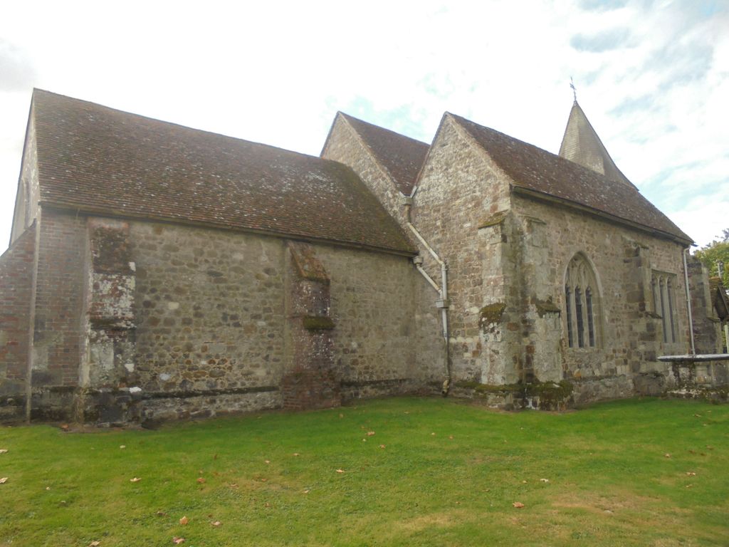
| Description | : | A Wartling Church is mentioned in the Domesday Book of 1086, but there was undoubtedly a Saxon Chapel long before that. The Church now sits on the site of a chapel which had links to St Mary in the Castle at Hastings. The present Church of St. Mary Magdalene dates to the 13th century with successive building works over the centuries. The churchyard extends west from the church and has spectacular views across the Pevensey levels to the South Downs. |
frequently asked questions (FAQ):
-
Where is St. Mary Magdalene Churchyard?
St. Mary Magdalene Churchyard is located at Wartling, Wealden District ,East Sussex , BN27 1RYEngland.
-
St. Mary Magdalene Churchyard cemetery's updated grave count on graveviews.com?
0 memorials
-
Where are the coordinates of the St. Mary Magdalene Churchyard?
Latitude: 50.8581820
Longitude: 0.3539830


Nearby Cemetories:
1. All Saints Churchyard
Herstmonceux, Wealden District, England
Coordinate: 50.8678627, 0.3330980
2. St Oswald Churchyard
Hooe, Wealden District, England
Coordinate: 50.8575970, 0.3895850
3. St. Oswald Anglican Churchyard
Hooe, Wealden District, England
Coordinate: 50.8576960, 0.3899300
4. Herstmonceux Free Church
Herstmonceux, Wealden District, England
Coordinate: 50.8855160, 0.3278300
5. St Nicholas Churchyard
Pevensey, Wealden District, England
Coordinate: 50.8196250, 0.3367080
6. St Mary the Virgin Churchyard
Westham, Wealden District, England
Coordinate: 50.8175410, 0.3292470
7. St. John the Evangelist Churchyard
Bodle Street Green, Wealden District, England
Coordinate: 50.9041214, 0.3465680
8. St. Mary the Virgin Churchyard
Ninfield, Wealden District, England
Coordinate: 50.8848760, 0.4224590
9. Ebenezer Baptist Chapel
Bodle Street Green, Wealden District, England
Coordinate: 50.9102250, 0.3438700
10. St. Mark's Churchyard
Bexhill-on-Sea, Rother District, England
Coordinate: 50.8456760, 0.4372000
11. St. Peter's Churchyard
Ashburnham, Rother District, England
Coordinate: 50.9056730, 0.4014650
12. Hailsham Baptist Church
Hailsham, Wealden District, England
Coordinate: 50.8608520, 0.2616600
13. St Mary Churchyard
Hailsham, Wealden District, England
Coordinate: 50.8630880, 0.2604170
14. Eastbourne Crematorium
Eastbourne, Eastbourne Borough, England
Coordinate: 50.8058380, 0.3096420
15. Eastbourne Cemetery
Eastbourne, Eastbourne Borough, England
Coordinate: 50.8039818, 0.3108360
16. Bexhill Cemetery
Bexhill-on-Sea, Rother District, England
Coordinate: 50.8587980, 0.4517460
17. Hailsham Cemetery
Hailsham, Wealden District, England
Coordinate: 50.8537230, 0.2527740
18. St. Margaret's Churchyard
Ditchling, Lewes District, England
Coordinate: 50.8376010, 0.2513120
19. St. Laurence Churchyard
Catsfield, Rother District, England
Coordinate: 50.8938230, 0.4563190
20. St Michael the Archangel Churchyard
Penhurst, Rother District, England
Coordinate: 50.9235920, 0.4092830
21. St. Peter and St. Paul Churchyard
Hellingly, Wealden District, England
Coordinate: 50.8885260, 0.2460540
22. Hellingly Cemetery
Hellingly, Wealden District, England
Coordinate: 50.8852690, 0.2415280
23. St. Peter's Churchyard
Bexhill-on-Sea, Rother District, England
Coordinate: 50.8460530, 0.4787950
24. Zoar Baptist Chapel
Lower Dicker, Wealden District, England
Coordinate: 50.8788990, 0.2268400