
| Memorials | : | 0 |
| Location | : | Hooton, Cheshire West and Chester Unitary Authority, England |
| Coordinate | : | 53.2971800, -2.9569700 |
frequently asked questions (FAQ):
-
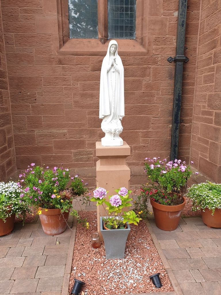
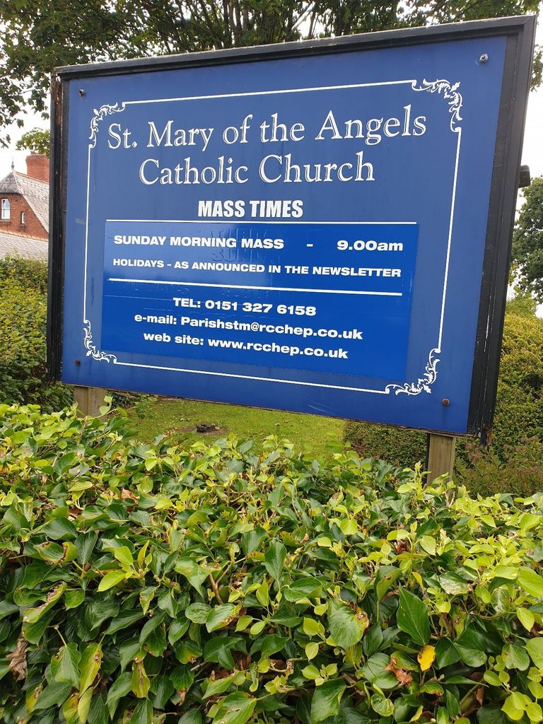
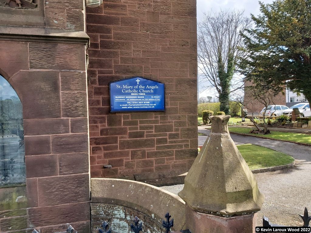
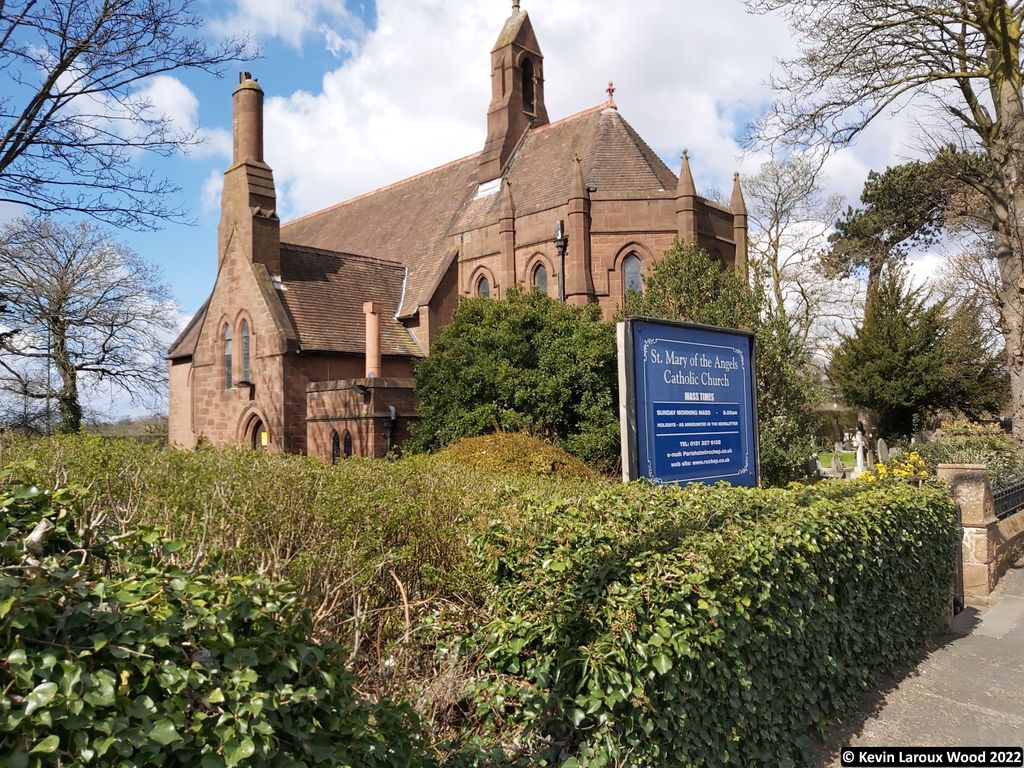
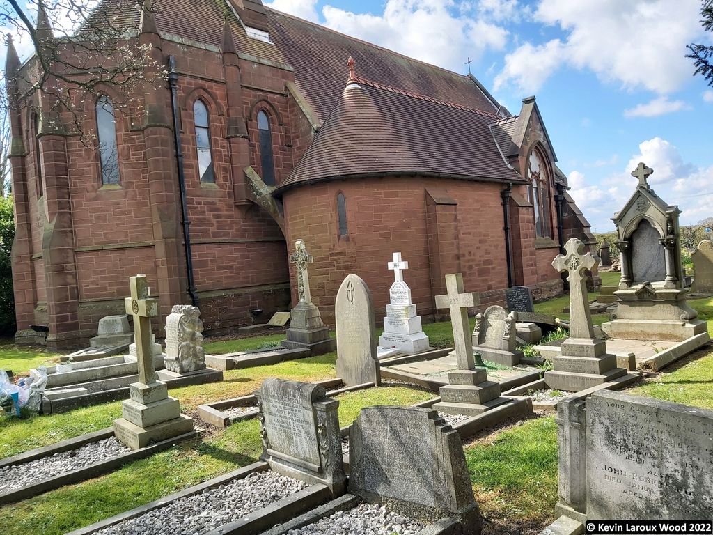
Where is St Mary of the Angels Hooton?
St Mary of the Angels Hooton is located at Hooton, Cheshire West and Chester Unitary Authority ,Cheshire ,England.
-
St Mary of the Angels Hooton cemetery's updated grave count on graveviews.com?
0 memorials
-
Where are the coordinates of the St Mary of the Angels Hooton?
Latitude: 53.2971800
Longitude: -2.9569700


Nearby Cemetories:
1. St. Paul's Churchyard
Hooton, Cheshire West and Chester Unitary Authority, England
Coordinate: 53.2902200, -2.9511400
2. St. Mary's Churchyard
Eastham, Metropolitan Borough of Wirral, England
Coordinate: 53.3133500, -2.9614500
3. Overpool Cemetery
Ellesmere Port, Cheshire West and Chester Unitary Authority, England
Coordinate: 53.2881800, -2.9215590
4. Plymyard Cemetery
Bromborough, Metropolitan Borough of Wirral, England
Coordinate: 53.3207700, -2.9725400
5. St John The Evangelist
Great Sutton, Cheshire West and Chester Unitary Authority, England
Coordinate: 53.2733100, -2.9364800
6. Mayfields Woodland Remembrance Park
Eastham, Metropolitan Borough of Wirral, England
Coordinate: 53.3255100, -2.9550200
7. Christ Church Churchyard
Willaston, Cheshire East Unitary Authority, England
Coordinate: 53.2929220, -3.0086860
8. Christ Church Churchyard
Willaston, Cheshire West and Chester Unitary Authority, England
Coordinate: 53.2925500, -3.0086100
9. St Barnabas Bromborough
Bromborough, Metropolitan Borough of Wirral, England
Coordinate: 53.3324700, -2.9784000
10. Christ Church Churchyard
Ellesmere Port, Cheshire West and Chester Unitary Authority, England
Coordinate: 53.2861000, -2.8950800
11. Holy Trinity Churchyard
Capenhurst, Cheshire West and Chester Unitary Authority, England
Coordinate: 53.2574000, -2.9492900
12. St Nicholas Churchyard
Burton, Cheshire West and Chester Unitary Authority, England
Coordinate: 53.2616430, -3.0251070
13. All Saints Churchyard
Thornton Hough, Metropolitan Borough of Wirral, England
Coordinate: 53.3203500, -3.0444780
14. St Andrews Parish Churchyard
Bebington, Metropolitan Borough of Wirral, England
Coordinate: 53.3479800, -3.0035400
15. Stanlow Abbey Ruins
Ellesmere Port, Cheshire West and Chester Unitary Authority, England
Coordinate: 53.2900000, -2.8600000
16. Neston Cemetery
Neston, Cheshire West and Chester Unitary Authority, England
Coordinate: 53.2943100, -3.0571400
17. Christ Church Churchyard
Port Sunlight, Metropolitan Borough of Wirral, England
Coordinate: 53.3534920, -2.9953750
18. Saint Winefride Churchyard
Little Neston, Cheshire West and Chester Unitary Authority, England
Coordinate: 53.2849200, -3.0592100
19. St. Michael's Churchyard
Shotwick Park, Cheshire West and Chester Unitary Authority, England
Coordinate: 53.2388600, -2.9947400
20. St Mary and St Helen Neston
Neston, Cheshire West and Chester Unitary Authority, England
Coordinate: 53.2892600, -3.0640600
21. Saint Michael's Church
Garston, Metropolitan Borough of Liverpool, England
Coordinate: 53.3518400, -2.8973800
22. St Oswalds Churchyard
Backford, Cheshire West and Chester Unitary Authority, England
Coordinate: 53.2387200, -2.9034100
23. St Austin's Churchyard
Grassendale, Metropolitan Borough of Liverpool, England
Coordinate: 53.3614552, -2.9124587
24. All Saints Churchyard
Saughall, Cheshire West and Chester Unitary Authority, England
Coordinate: 53.2271271, -2.9550779