| Memorials | : | 0 |
| Location | : | Ellesmere Port, Cheshire West and Chester Unitary Authority, England |
| Coordinate | : | 53.2861000, -2.8950800 |
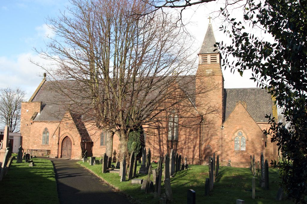
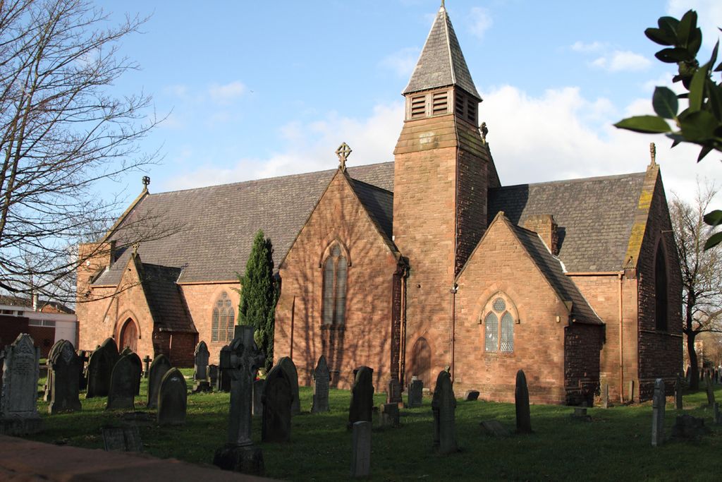
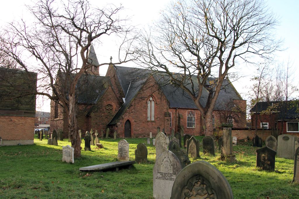
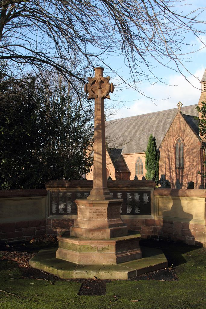
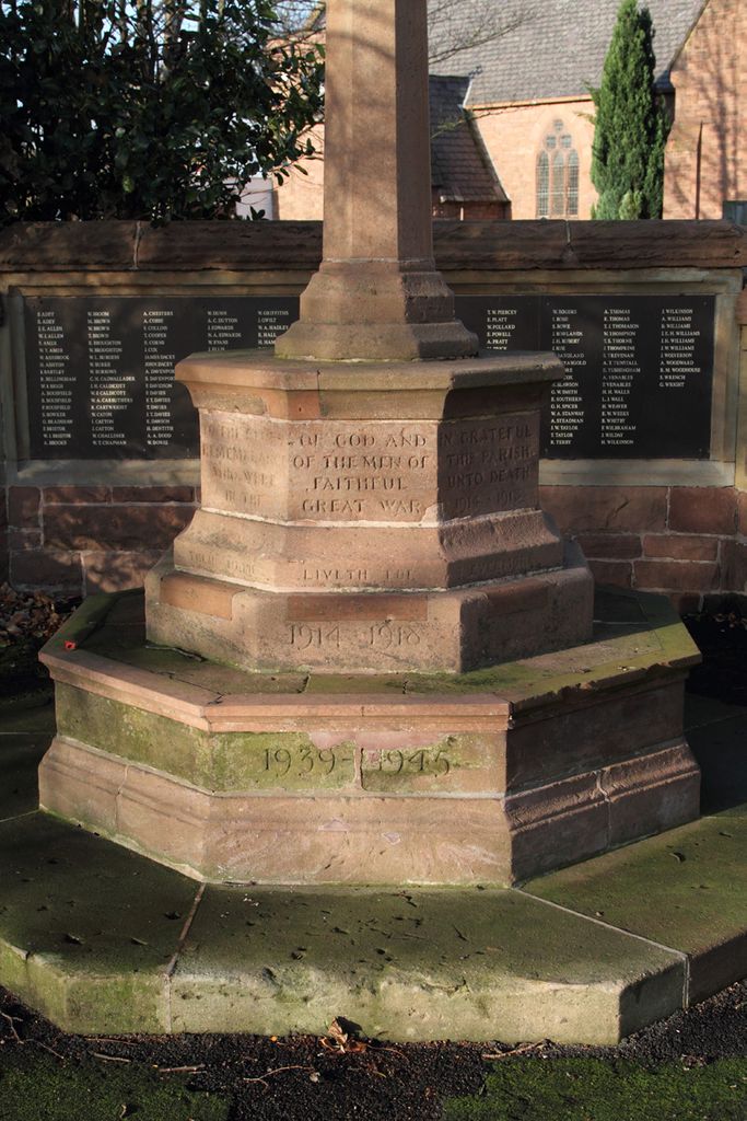
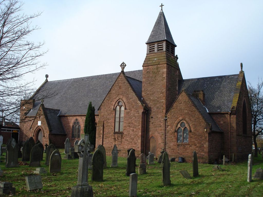
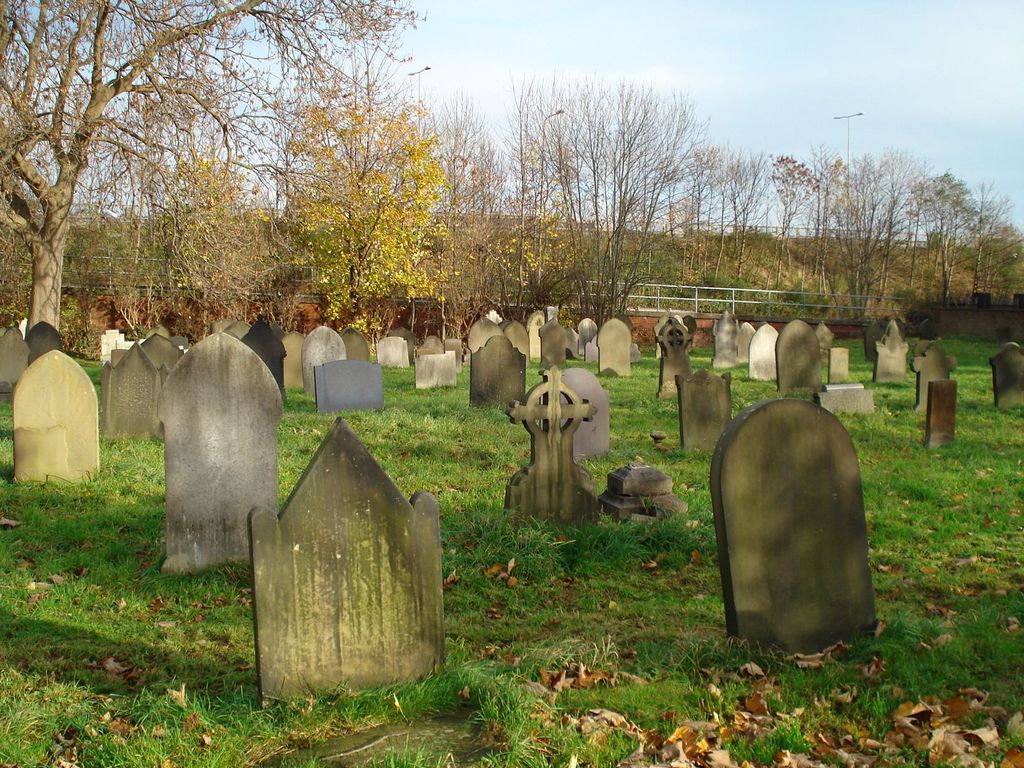
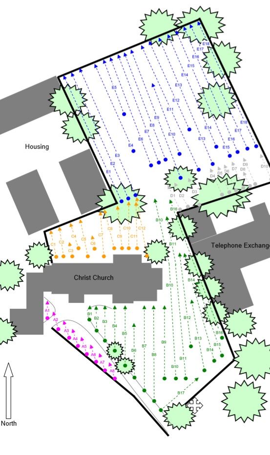
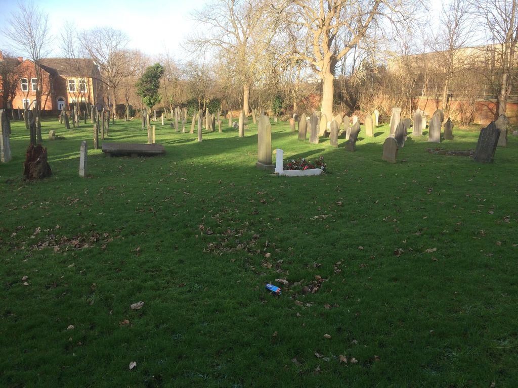
| Description | : | All legible markers have been recorded and photographed. The church building is Grade II listed and dates from 1871. The churchyard has 26 Commonwealth War Grave Commission graves (25 WW1 and 1 WW2). The church was declared as redundant and closed in 1994. In 2011 it was reopened as an Elim Pentecostal Church. Early records of burials have been lost so a group of young volunteers surveyed the churchyard in 2010 and produced as full a record as possible of the graves that were still marked. All references to grave locations that are given in memorials posted are from that record and not from any... Read More |
frequently asked questions (FAQ):
-
Where is Christ Church Churchyard?
Christ Church Churchyard is located at Station Road Ellesmere Port, Cheshire West and Chester Unitary Authority ,Cheshire , CH65 4BXEngland.
-
Christ Church Churchyard cemetery's updated grave count on graveviews.com?
0 memorials
-
Where are the coordinates of the Christ Church Churchyard?
Latitude: 53.2861000
Longitude: -2.8950800
Nearby Cemetories:
1. Overpool Cemetery
Ellesmere Port, Cheshire West and Chester Unitary Authority, England
Coordinate: 53.2881800, -2.9215590
2. Stanlow Abbey Ruins
Ellesmere Port, Cheshire West and Chester Unitary Authority, England
Coordinate: 53.2900000, -2.8600000
3. St John The Evangelist
Great Sutton, Cheshire West and Chester Unitary Authority, England
Coordinate: 53.2733100, -2.9364800
4. St. Paul's Churchyard
Hooton, Cheshire West and Chester Unitary Authority, England
Coordinate: 53.2902200, -2.9511400
5. St. Lawrence Churchyard
Stoak, Cheshire West and Chester Unitary Authority, England
Coordinate: 53.2533600, -2.8655200
6. St Mary of the Angels Hooton
Hooton, Cheshire West and Chester Unitary Authority, England
Coordinate: 53.2971800, -2.9569700
7. St. Mary's Churchyard
Thornton-le-Moors, Cheshire West and Chester Unitary Authority, England
Coordinate: 53.2649300, -2.8384400
8. St. James Churchyard
Ince, Cheshire West and Chester Unitary Authority, England
Coordinate: 53.2812800, -2.8267300
9. Holy Trinity Churchyard
Capenhurst, Cheshire West and Chester Unitary Authority, England
Coordinate: 53.2574000, -2.9492900
10. St Oswalds Churchyard
Backford, Cheshire West and Chester Unitary Authority, England
Coordinate: 53.2387200, -2.9034100
11. St. Mary's Churchyard
Eastham, Metropolitan Borough of Wirral, England
Coordinate: 53.3133500, -2.9614500
12. Mayfields Woodland Remembrance Park
Eastham, Metropolitan Borough of Wirral, England
Coordinate: 53.3255100, -2.9550200
13. Plymyard Cemetery
Bromborough, Metropolitan Borough of Wirral, England
Coordinate: 53.3207700, -2.9725400
14. All Saints Churchyard
Speke, Metropolitan Borough of Liverpool, England
Coordinate: 53.3439300, -2.8582400
15. Saint Michael's Church
Garston, Metropolitan Borough of Liverpool, England
Coordinate: 53.3518400, -2.8973800
16. St Barnabas Bromborough
Bromborough, Metropolitan Borough of Wirral, England
Coordinate: 53.3324700, -2.9784000
17. Christ Church Churchyard
Willaston, Cheshire West and Chester Unitary Authority, England
Coordinate: 53.2925500, -3.0086100
18. Christ Church Churchyard
Willaston, Cheshire East Unitary Authority, England
Coordinate: 53.2929220, -3.0086860
19. All Saints Churchyard
Saughall, Cheshire West and Chester Unitary Authority, England
Coordinate: 53.2271271, -2.9550779
20. St. Luke's Churchyard
Dunham-on-the-Hill, Cheshire West and Chester Unitary Authority, England
Coordinate: 53.2521140, -2.7926030
21. Holy Ascension Churchyard
Upton-by-Chester, Cheshire West and Chester Unitary Authority, England
Coordinate: 53.2157300, -2.8878700
22. Ebenezer Primitive Methodist Churchyard
Saughall, Cheshire West and Chester Unitary Authority, England
Coordinate: 53.2232500, -2.9574500
23. Saughall Churches of Christ Grove Chapel
Saughall, Cheshire West and Chester Unitary Authority, England
Coordinate: 53.2218900, -2.9583300
24. Mickle Trafford Methodist Church Cemetery
Chester, Cheshire West and Chester Unitary Authority, England
Coordinate: 53.2210040, -2.8327861

