
| Memorials | : | 0 |
| Location | : | Shotwick Park, Cheshire West and Chester Unitary Authority, England |
| Coordinate | : | 53.2388600, -2.9947400 |
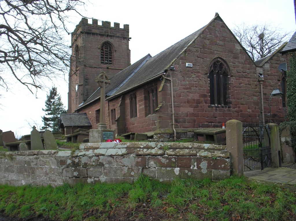
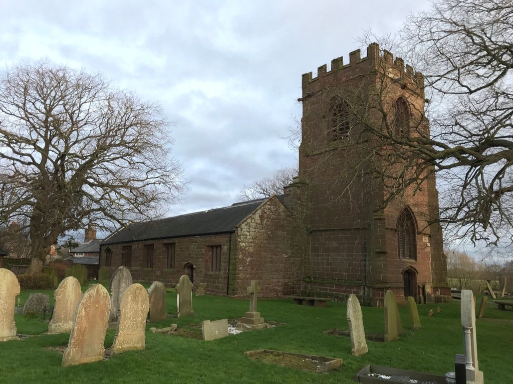
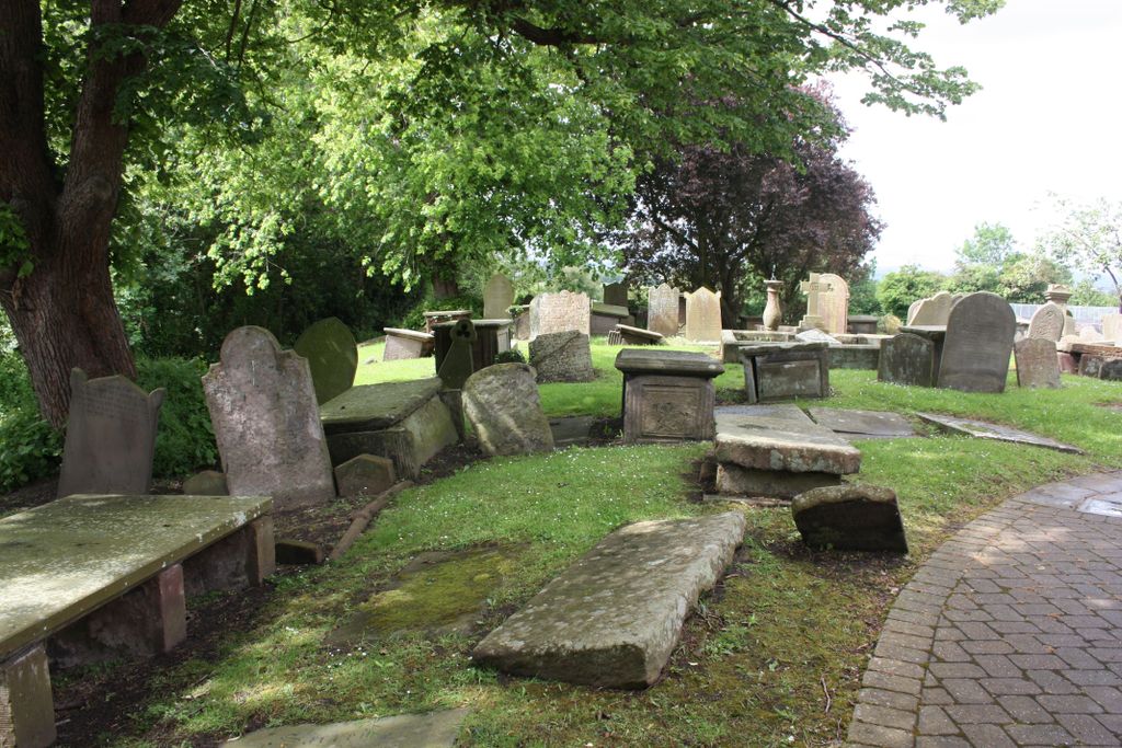
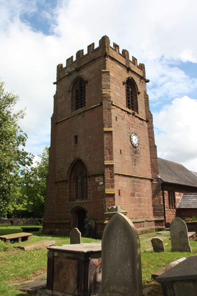
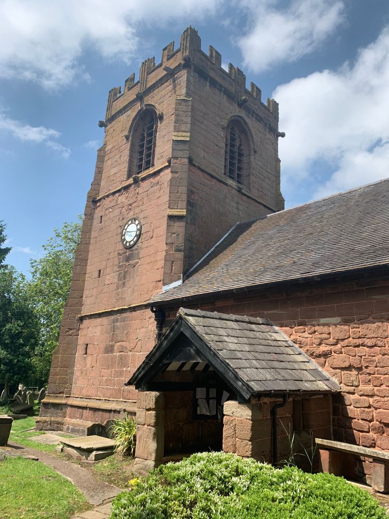
| Description | : | In the Churchyard there are 9 gravestones of airmen covering the period from 25th April to the 9th November 1918. They are all from the Dominions or the USA. |
frequently asked questions (FAQ):
-
Where is St. Michael's Churchyard?
St. Michael's Churchyard is located at Shotwick Ln. Shotwick Park, Cheshire West and Chester Unitary Authority ,Cheshire , CH1 6HXEngland.
-
St. Michael's Churchyard cemetery's updated grave count on graveviews.com?
0 memorials
-
Where are the coordinates of the St. Michael's Churchyard?
Latitude: 53.2388600
Longitude: -2.9947400


Nearby Cemetories:
1. All Saints Churchyard
Saughall, Cheshire West and Chester Unitary Authority, England
Coordinate: 53.2271271, -2.9550779
2. Ebenezer Primitive Methodist Churchyard
Saughall, Cheshire West and Chester Unitary Authority, England
Coordinate: 53.2232500, -2.9574500
3. Saughall Churches of Christ Grove Chapel
Saughall, Cheshire West and Chester Unitary Authority, England
Coordinate: 53.2218900, -2.9583300
4. St Nicholas Churchyard
Burton, Cheshire West and Chester Unitary Authority, England
Coordinate: 53.2616430, -3.0251070
5. Holy Trinity Churchyard
Capenhurst, Cheshire West and Chester Unitary Authority, England
Coordinate: 53.2574000, -2.9492900
6. St John The Evangelist
Great Sutton, Cheshire West and Chester Unitary Authority, England
Coordinate: 53.2733100, -2.9364800
7. Christ Church Churchyard
Willaston, Cheshire West and Chester Unitary Authority, England
Coordinate: 53.2925500, -3.0086100
8. St Oswalds Churchyard
Backford, Cheshire West and Chester Unitary Authority, England
Coordinate: 53.2387200, -2.9034100
9. Christ Church Churchyard
Willaston, Cheshire East Unitary Authority, England
Coordinate: 53.2929220, -3.0086860
10. St. Paul's Churchyard
Hooton, Cheshire West and Chester Unitary Authority, England
Coordinate: 53.2902200, -2.9511400
11. Saint Winefride Churchyard
Little Neston, Cheshire West and Chester Unitary Authority, England
Coordinate: 53.2849200, -3.0592100
12. Blacon Cemetery
Chester, Cheshire West and Chester Unitary Authority, England
Coordinate: 53.2053200, -2.9106300
13. St Mary of the Angels Hooton
Hooton, Cheshire West and Chester Unitary Authority, England
Coordinate: 53.2971800, -2.9569700
14. Chester Crematorium
Chester, Cheshire West and Chester Unitary Authority, England
Coordinate: 53.2050100, -2.9065700
15. St Mary and St Helen Neston
Neston, Cheshire West and Chester Unitary Authority, England
Coordinate: 53.2892600, -3.0640600
16. Overpool Cemetery
Ellesmere Port, Cheshire West and Chester Unitary Authority, England
Coordinate: 53.2881800, -2.9215590
17. Neston Cemetery
Neston, Cheshire West and Chester Unitary Authority, England
Coordinate: 53.2943100, -3.0571400
18. Holy Ascension Churchyard
Upton-by-Chester, Cheshire West and Chester Unitary Authority, England
Coordinate: 53.2157300, -2.8878700
19. Catholic Apostolic Church
Chester, Cheshire West and Chester Unitary Authority, England
Coordinate: 53.1950660, -2.8949290
20. Chester City Gaol Cemetery
Chester, Cheshire West and Chester Unitary Authority, England
Coordinate: 53.1916040, -2.8962990
21. Christ Church Churchyard
Ellesmere Port, Cheshire West and Chester Unitary Authority, England
Coordinate: 53.2861000, -2.8950800
22. St. Mary's Churchyard
Eastham, Metropolitan Borough of Wirral, England
Coordinate: 53.3133500, -2.9614500
23. Chester Cathedral
Chester, Cheshire West and Chester Unitary Authority, England
Coordinate: 53.1918900, -2.8904600
24. St Peter's Church
Chester, Cheshire West and Chester Unitary Authority, England
Coordinate: 53.1903000, -2.8917200