
| Memorials | : | 0 |
| Location | : | Great Sutton, Cheshire West and Chester Unitary Authority, England |
| Coordinate | : | 53.2733100, -2.9364800 |
frequently asked questions (FAQ):
-
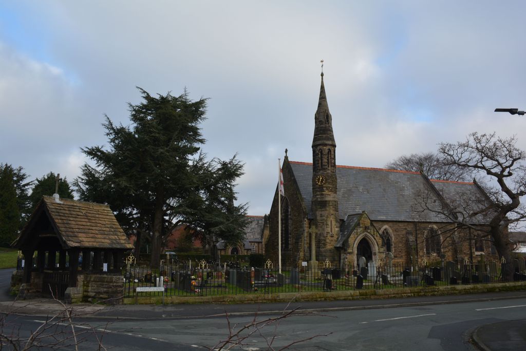
Where is St John The Evangelist?
St John The Evangelist is located at Church Lane Great Sutton, Cheshire West and Chester Unitary Authority ,Cheshire , CH66 4REEngland.
-
St John The Evangelist cemetery's updated grave count on graveviews.com?
0 memorials
-
Where are the coordinates of the St John The Evangelist?
Latitude: 53.2733100
Longitude: -2.9364800

Nearby Cemetories:
1. Overpool Cemetery
Ellesmere Port, Cheshire West and Chester Unitary Authority, England
Coordinate: 53.2881800, -2.9215590
2. Holy Trinity Churchyard
Capenhurst, Cheshire West and Chester Unitary Authority, England
Coordinate: 53.2574000, -2.9492900
3. St. Paul's Churchyard
Hooton, Cheshire West and Chester Unitary Authority, England
Coordinate: 53.2902200, -2.9511400
4. St Mary of the Angels Hooton
Hooton, Cheshire West and Chester Unitary Authority, England
Coordinate: 53.2971800, -2.9569700
5. Christ Church Churchyard
Ellesmere Port, Cheshire West and Chester Unitary Authority, England
Coordinate: 53.2861000, -2.8950800
6. St Oswalds Churchyard
Backford, Cheshire West and Chester Unitary Authority, England
Coordinate: 53.2387200, -2.9034100
7. St. Mary's Churchyard
Eastham, Metropolitan Borough of Wirral, England
Coordinate: 53.3133500, -2.9614500
8. St. Lawrence Churchyard
Stoak, Cheshire West and Chester Unitary Authority, England
Coordinate: 53.2533600, -2.8655200
9. Christ Church Churchyard
Willaston, Cheshire West and Chester Unitary Authority, England
Coordinate: 53.2925500, -3.0086100
10. Christ Church Churchyard
Willaston, Cheshire East Unitary Authority, England
Coordinate: 53.2929220, -3.0086860
11. All Saints Churchyard
Saughall, Cheshire West and Chester Unitary Authority, England
Coordinate: 53.2271271, -2.9550779
12. Stanlow Abbey Ruins
Ellesmere Port, Cheshire West and Chester Unitary Authority, England
Coordinate: 53.2900000, -2.8600000
13. St. Michael's Churchyard
Shotwick Park, Cheshire West and Chester Unitary Authority, England
Coordinate: 53.2388600, -2.9947400
14. Ebenezer Primitive Methodist Churchyard
Saughall, Cheshire West and Chester Unitary Authority, England
Coordinate: 53.2232500, -2.9574500
15. Plymyard Cemetery
Bromborough, Metropolitan Borough of Wirral, England
Coordinate: 53.3207700, -2.9725400
16. Saughall Churches of Christ Grove Chapel
Saughall, Cheshire West and Chester Unitary Authority, England
Coordinate: 53.2218900, -2.9583300
17. Mayfields Woodland Remembrance Park
Eastham, Metropolitan Borough of Wirral, England
Coordinate: 53.3255100, -2.9550200
18. St Nicholas Churchyard
Burton, Cheshire West and Chester Unitary Authority, England
Coordinate: 53.2616430, -3.0251070
19. St. Mary's Churchyard
Thornton-le-Moors, Cheshire West and Chester Unitary Authority, England
Coordinate: 53.2649300, -2.8384400
20. St Barnabas Bromborough
Bromborough, Metropolitan Borough of Wirral, England
Coordinate: 53.3324700, -2.9784000
21. Holy Ascension Churchyard
Upton-by-Chester, Cheshire West and Chester Unitary Authority, England
Coordinate: 53.2157300, -2.8878700
22. St. James Churchyard
Ince, Cheshire West and Chester Unitary Authority, England
Coordinate: 53.2812800, -2.8267300
23. Blacon Cemetery
Chester, Cheshire West and Chester Unitary Authority, England
Coordinate: 53.2053200, -2.9106300
24. Chester Crematorium
Chester, Cheshire West and Chester Unitary Authority, England
Coordinate: 53.2050100, -2.9065700