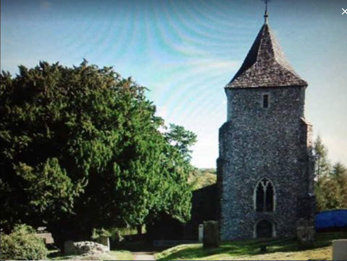
| Memorials | : | 11 |
| Location | : | Stansted, Tonbridge and Malling Borough, England |
| Coordinate | : | 51.3355120, 0.3060170 |
frequently asked questions (FAQ):
-
Where is St Mary the Virgin Churchyard?
St Mary the Virgin Churchyard is located at Stansted, Tonbridge and Malling Borough ,Kent ,England.
-
St Mary the Virgin Churchyard cemetery's updated grave count on graveviews.com?
11 memorials
-
Where are the coordinates of the St Mary the Virgin Churchyard?
Latitude: 51.3355120
Longitude: 0.3060170
Nearby Cemetories:
1. St Peter and St Paul Churchyard
Ash, Sevenoaks District, England
Coordinate: 51.3575990, 0.2989910
2. Wrotham Cemetery
Wrotham, Tonbridge and Malling Borough, England
Coordinate: 51.3099430, 0.3108890
3. St George Churchyard
Wrotham, Tonbridge and Malling Borough, England
Coordinate: 51.3088360, 0.3110130
4. St Peter and St Paul Churchyard
Trottiscliffe, Tonbridge and Malling Borough, England
Coordinate: 51.3201520, 0.3612360
5. All Saints Churchyard
Hartley, Sevenoaks District, England
Coordinate: 51.3761177, 0.3164520
6. St Mary's Churchyard Woodlands
West Kingsdown, Sevenoaks District, England
Coordinate: 51.3233700, 0.2428600
7. Hartley Parish Burial Ground
Hartley, Sevenoaks District, England
Coordinate: 51.3765290, 0.3164040
8. OMF International UK
Borough Green, Tonbridge and Malling Borough, England
Coordinate: 51.2937286, 0.3066902
9. Borough Green Baptist Churchyard
Borough Green, Tonbridge and Malling Borough, England
Coordinate: 51.2916540, 0.3053750
10. Church of the Good Shepherd
Borough Green, Tonbridge and Malling Borough, England
Coordinate: 51.2910300, 0.3037660
11. St Mary the Virgin Churchyard
Platt, Tonbridge and Malling Borough, England
Coordinate: 51.2892070, 0.3252260
12. St Peter Churchyard
Ightham, Tonbridge and Malling Borough, England
Coordinate: 51.2891680, 0.2858450
13. Meopham Cemetery
Meopham, Gravesham Borough, England
Coordinate: 51.3709100, 0.3600900
14. St. John the Baptist Churchyard
Meopham, Gravesham Borough, England
Coordinate: 51.3713500, 0.3615600
15. St Mary Churchyard
Fawkham, Sevenoaks District, England
Coordinate: 51.3893970, 0.2938280
16. St Mary the Virgin Churchyard
Kemsing, Sevenoaks District, England
Coordinate: 51.3068670, 0.2310220
17. St Michael Churchyard
Offham, Tonbridge and Malling Borough, England
Coordinate: 51.2974968, 0.3801070
18. St Mary Magdalene Churchyard
Longfield, Dartford Borough, England
Coordinate: 51.3978510, 0.3033730
19. St Mildred Churchyard
Nurstead, Gravesham Borough, England
Coordinate: 51.3902931, 0.3574180
20. Eynsford War Memorial
Eynsford, Sevenoaks District, England
Coordinate: 51.3685875, 0.2135230
21. Christian Fellowship Baptist Churchyard
Eynsford, Sevenoaks District, England
Coordinate: 51.3697548, 0.2145360
22. St Peter and St Paul Churchyard
Luddesdown, Gravesham Borough, England
Coordinate: 51.3700218, 0.3974010
23. All Saints Churchyard
Birling, Tonbridge and Malling Borough, England
Coordinate: 51.3197010, 0.4097520
24. St Martin Churchyard
Eynsford, Sevenoaks District, England
Coordinate: 51.3675308, 0.2112560

