
| Memorials | : | 0 |
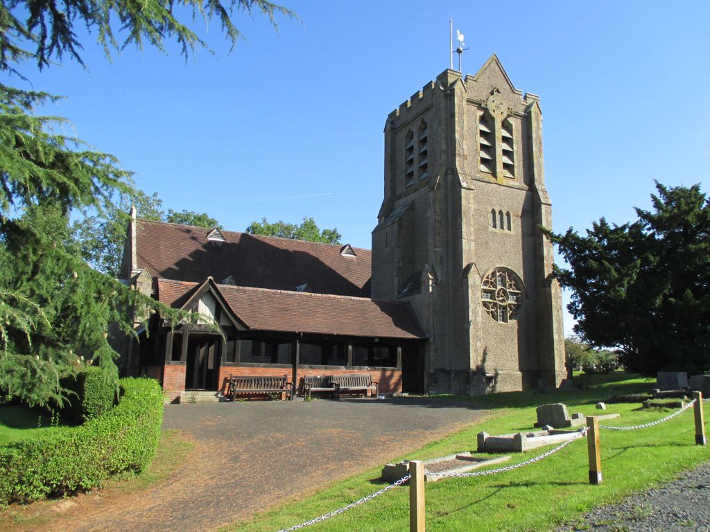
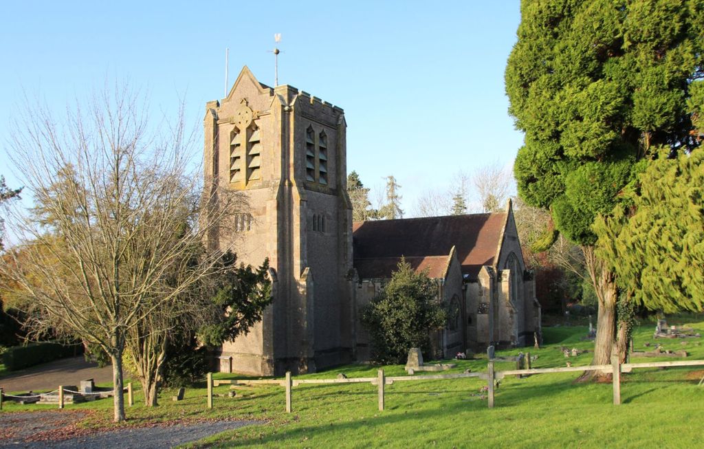
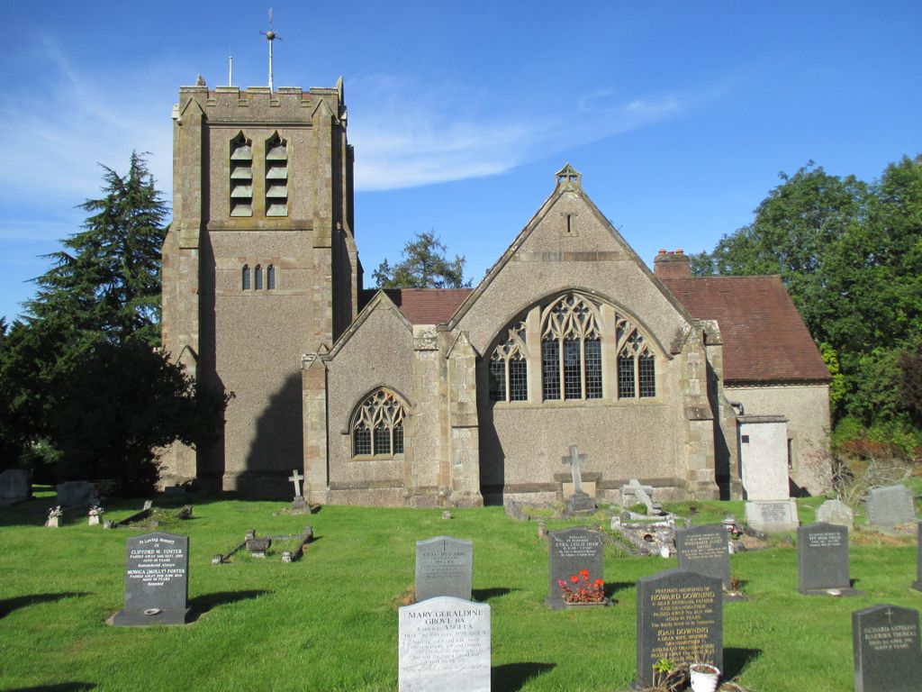
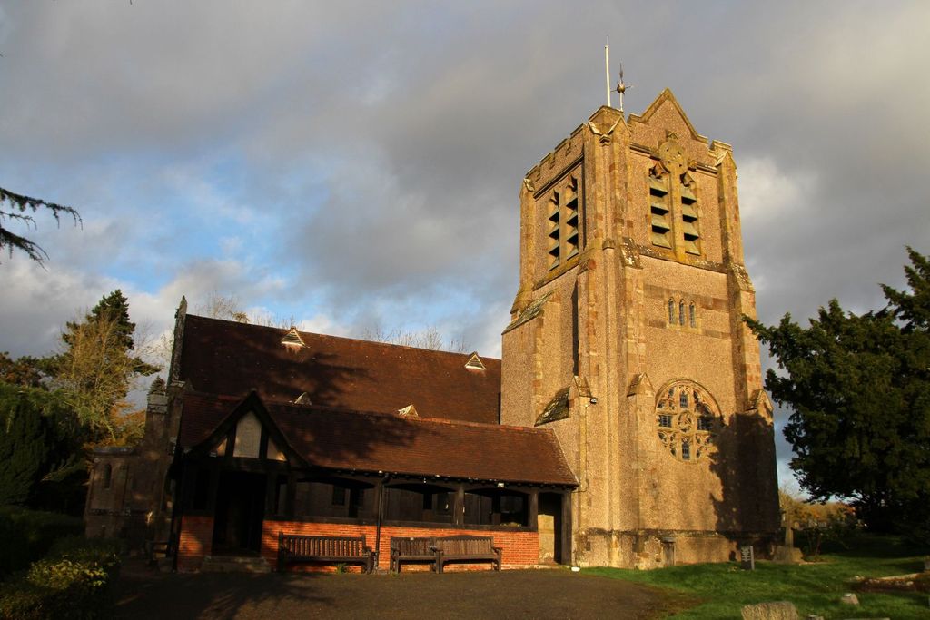
| Location | : | Dodford, Bromsgrove District, England |
| Website | : | www.dodfordchurch.co.uk/welcome.htm |
| Coordinate | : | 52.3503000, -2.1011200 |
frequently asked questions (FAQ):
-
Where is Holy Trinity and St Mary Churchyard?
Holy Trinity and St Mary Churchyard is located at Priory Road Dodford, Bromsgrove District ,Worcestershire , B61 9DFEngland.
-
Holy Trinity and St Mary Churchyard cemetery's updated grave count on graveviews.com?
0 memorials
-
Where are the coordinates of the Holy Trinity and St Mary Churchyard?
Latitude: 52.3503000
Longitude: -2.1011200
Nearby Cemetories:
1. Christ Church Churchyard
Catshill, Bromsgrove District, England
Coordinate: 52.3601100, -2.0650380
2. Bromsgrove New Cemetery
Bromsgrove, Bromsgrove District, England
Coordinate: 52.3363100, -2.0674300
3. Christ Church Additional Cemetery
Catshill, Bromsgrove District, England
Coordinate: 52.3640400, -2.0647000
4. Bromsgrove Cemetery
Bromsgrove, Bromsgrove District, England
Coordinate: 52.3349750, -2.0654960
5. St John the Baptist Churchyard
Bromsgrove, Bromsgrove District, England
Coordinate: 52.3343560, -2.0645280
6. St Marks Churchyard
Bromsgrove District, England
Coordinate: 52.3744200, -2.0778000
7. Bromsgrove Friends Burial Ground
Bromsgrove, Bromsgrove District, England
Coordinate: 52.3338169, -2.0635085
8. United Reform Church Churchyard
Bromsgrove, Bromsgrove District, England
Coordinate: 52.3351920, -2.0588680
9. St. Peter's Churchyard
Bromsgrove, Bromsgrove District, England
Coordinate: 52.3266220, -2.0706270
10. North Bromsgrove Cemetery
Catshill, Bromsgrove District, England
Coordinate: 52.3622100, -2.0476300
11. St. Cassian's Churchyard
Chaddesley Corbett, Wyre Forest District, England
Coordinate: 52.3603300, -2.1610400
12. Holy Trinity Churchyard
Belbroughton, Bromsgrove District, England
Coordinate: 52.3897160, -2.1203190
13. Finstall Burial Ground
Finstall, Bromsgrove District, England
Coordinate: 52.3256100, -2.0418700
14. St. Michael's Churchyard
Rushock, Wyre Forest District, England
Coordinate: 52.3386730, -2.1708700
15. St. Michael's Churchyard
Upton Warren, Wychavon District, England
Coordinate: 52.3053500, -2.1030600
16. St. Michaels & All Angels Churchyard
Stoke Prior, Bromsgrove District, England
Coordinate: 52.3073925, -2.0757422
17. St. Mary's Churchyard
Elmbridge, Wychavon District, England
Coordinate: 52.3088400, -2.1490800
18. St Marys Churchyard
Harvington, Wyre Forest District, England
Coordinate: 52.3677780, -2.1808330
19. St. Mary de Wyche Churchyard
Wychbold, Wychavon District, England
Coordinate: 52.2910500, -2.1047300
20. Holy Trinity Churchyard Extension
Lickey, Bromsgrove District, England
Coordinate: 52.3738700, -2.0113900
21. St. Peter's Churchyard
Broome, Wyre Forest District, England
Coordinate: 52.4038450, -2.1453780
22. Holy Trinity Churchyard
Lickey, Bromsgrove District, England
Coordinate: 52.3751560, -2.0094860
23. St. Leonard's Churchyard
Clent, Bromsgrove District, England
Coordinate: 52.4121240, -2.1065080
24. St. Bartholomew's Churchyard
Tardebigge, Bromsgrove District, England
Coordinate: 52.3201100, -2.0080500