
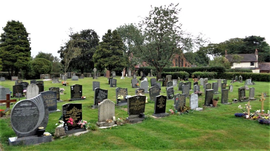
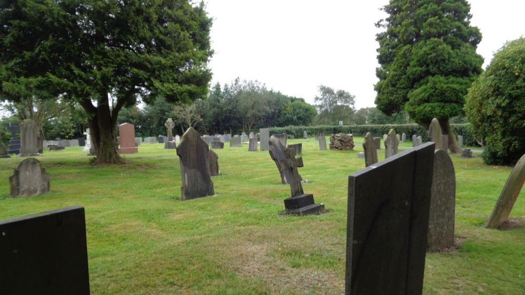
| Memorials | : | 35 |
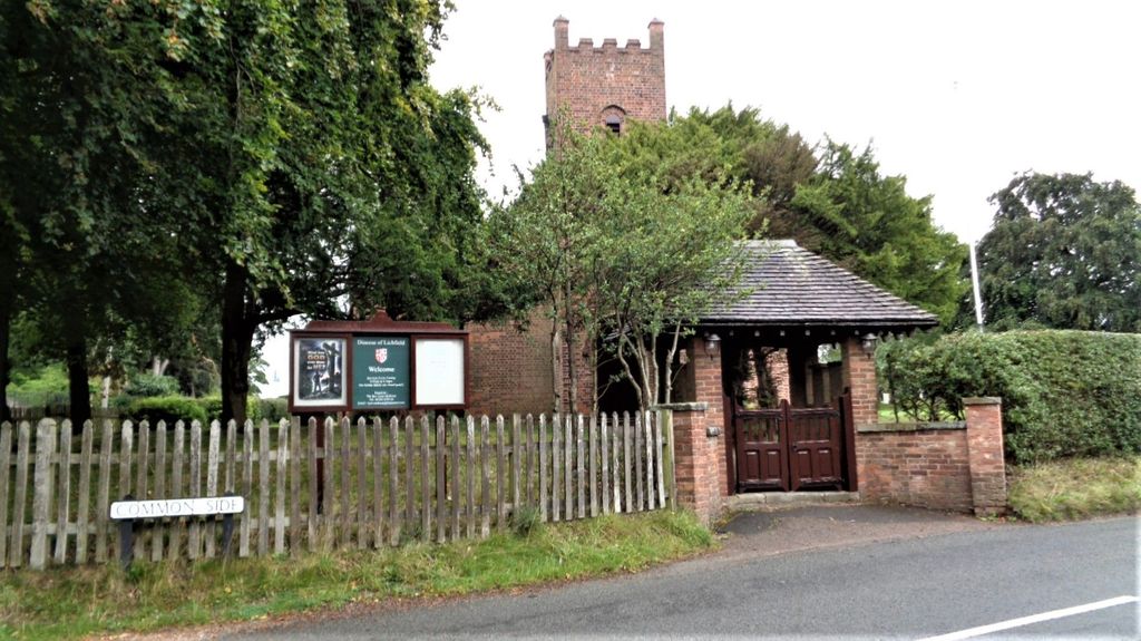
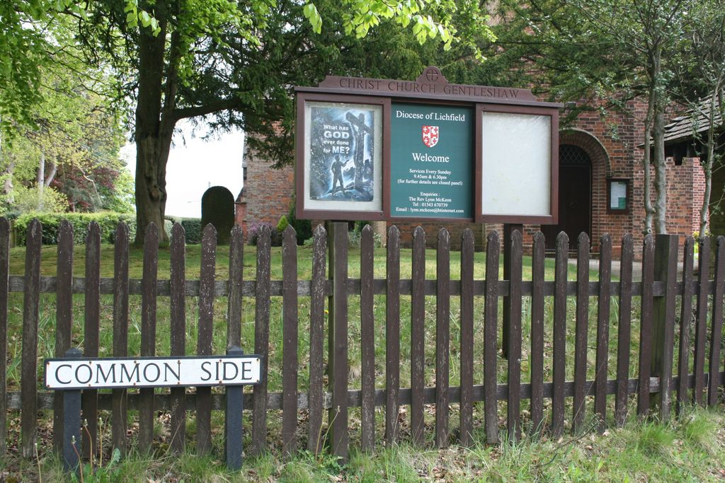
| Location | : | Rugeley, Cannock Chase District, England |
| Website | : | www.gentleshaw-church.org.uk/ |
| Coordinate | : | 52.7050151, -1.9264458 |
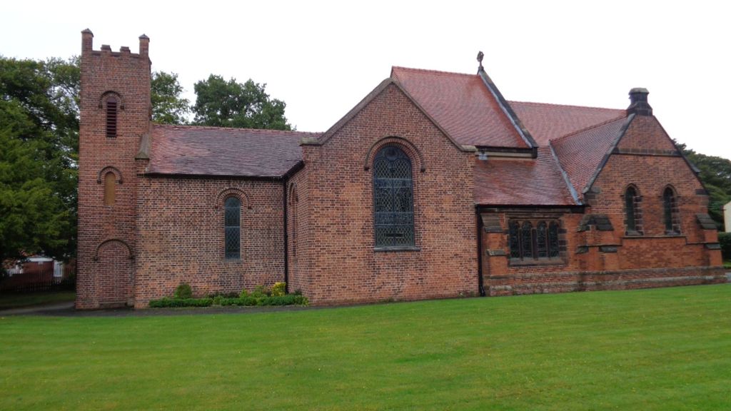
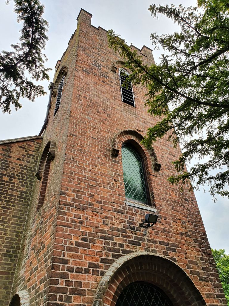
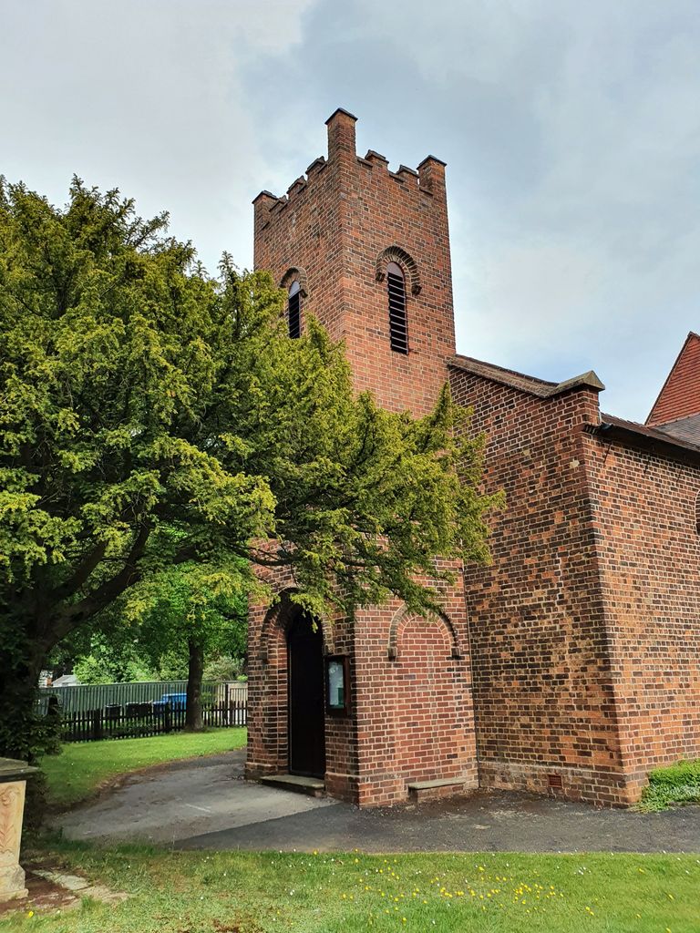
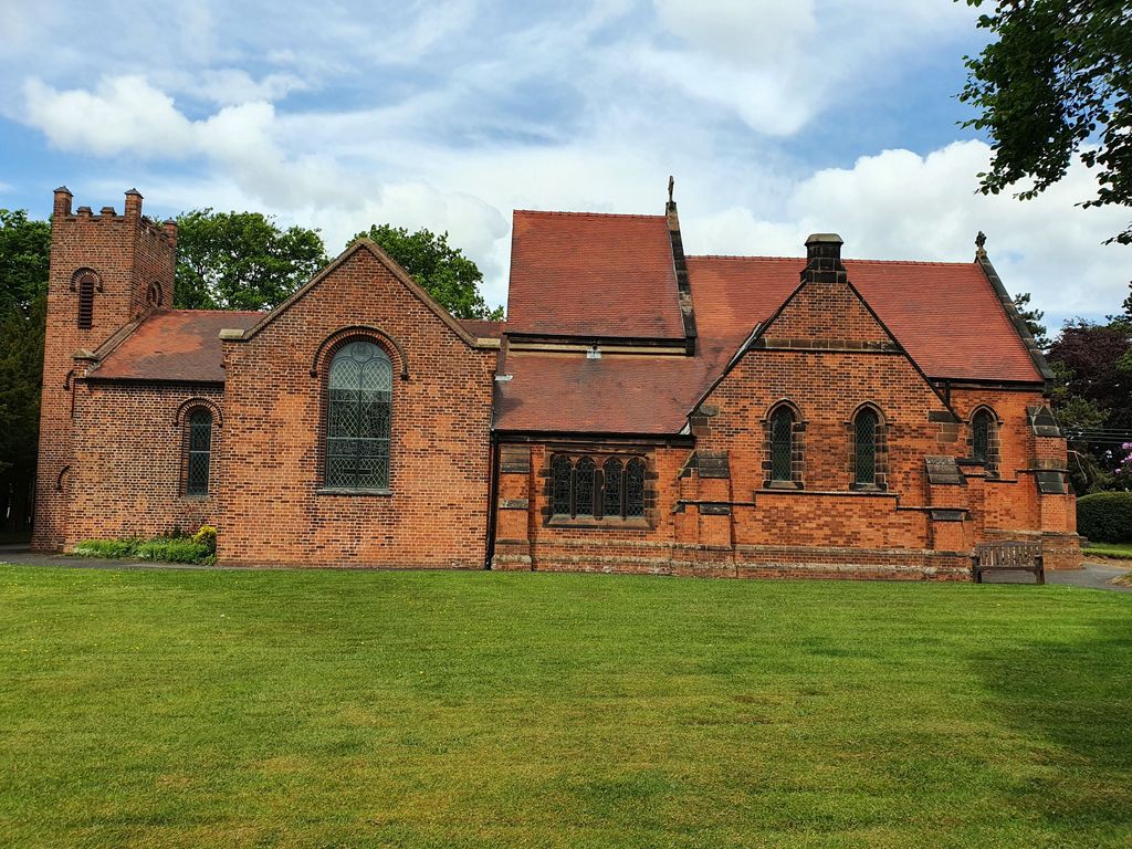
| Description | : | The church was opened on 28 August 1837. It has been extended several times, starting in 1850. Another extension was made in 1877. The extension that took place between 1901 and 1903 resulted in several graves having to be moved. The first burial took place on 7 January 1838, and was for a Jane Woolley, who was only aged 14 months. |
frequently asked questions (FAQ):
-
Where is Christ Church Gentleshaw?
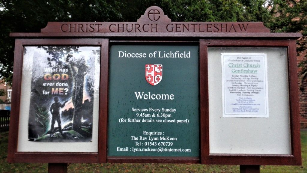
Christ Church Gentleshaw is located at Chapel Lane Rugeley, Cannock Chase District ,Staffordshire , WS15 4NGEngland.
-
Christ Church Gentleshaw cemetery's updated grave count on graveviews.com?
34 memorials
-
Where are the coordinates of the Christ Church Gentleshaw?
Latitude: 52.7050151
Longitude: -1.9264458
Nearby Cemetories:
1. St John's Church Cemetery
Burntwood, Lichfield District, England
Coordinate: 52.6901000, -1.9349300
2. Chase and District Memorial Park
Burntwood, Lichfield District, England
Coordinate: 52.6817140, -1.9339150
3. St Matthew's Hospital Burial Ground
Burntwood, Lichfield District, England
Coordinate: 52.6804500, -1.8937800
4. Christchurch Cemetery
Burntwood, Lichfield District, England
Coordinate: 52.6787639, -1.8969201
5. St. James the Great Churchyard
Longdon, Lichfield District, England
Coordinate: 52.7250710, -1.8800360
6. St. Anne Churchyard Chasetown
Burntwood, Lichfield District, England
Coordinate: 52.6693850, -1.9381720
7. St John Churchyard
Heath Hayes, Cannock Chase District, England
Coordinate: 52.6914160, -1.9846280
8. Stile Cop Cemetery
Rugeley, Cannock Chase District, England
Coordinate: 52.7423710, -1.9448220
9. St. Peter's Churchyard
Hednesford, Cannock Chase District, England
Coordinate: 52.7050630, -1.9918330
10. St. Michael's Churchyard
Brereton, Cannock Chase District, England
Coordinate: 52.7451169, -1.9228718
11. Hawkesyard Priory
Rugeley, Cannock Chase District, England
Coordinate: 52.7439175, -1.9032955
12. Our Lady of Lourdes Churchyard
Hednesford, Cannock Chase District, England
Coordinate: 52.7051311, -1.9969935
13. St John the Baptist Churchyard
Armitage with Handsacre, Lichfield District, England
Coordinate: 52.7458638, -1.8851159
14. Stychbrook Cemetery
Lichfield District, England
Coordinate: 52.6998096, -1.8347392
15. Christ Church Churchyard
Lichfield, Lichfield District, England
Coordinate: 52.6812150, -1.8405800
16. St. Augustine's Churchyard
Rugeley, Cannock Chase District, England
Coordinate: 52.7644253, -1.9345868
17. The Old Chancel
Rugeley, Cannock Chase District, England
Coordinate: 52.7648400, -1.9355010
18. Rugeley Cemetery
Rugeley, Cannock Chase District, England
Coordinate: 52.7650720, -1.9370440
19. Lichfield Cathedral
Lichfield, Lichfield District, England
Coordinate: 52.6855650, -1.8304500
20. Cannock Cemetery
Cannock, Cannock Chase District, England
Coordinate: 52.7008790, -2.0288950
21. Grey Friars Churchyard
Lichfield, Lichfield District, England
Coordinate: 52.6829030, -1.8282720
22. St. Luke's Churchyard
Cannock, Cannock Chase District, England
Coordinate: 52.6889919, -2.0287352
23. St. John's Churchyard
Wall, Lichfield District, England
Coordinate: 52.6575100, -1.8553200
24. St Mary Roman Catholic Churchyard
Cannock, Cannock Chase District, England
Coordinate: 52.6867620, -2.0283360