
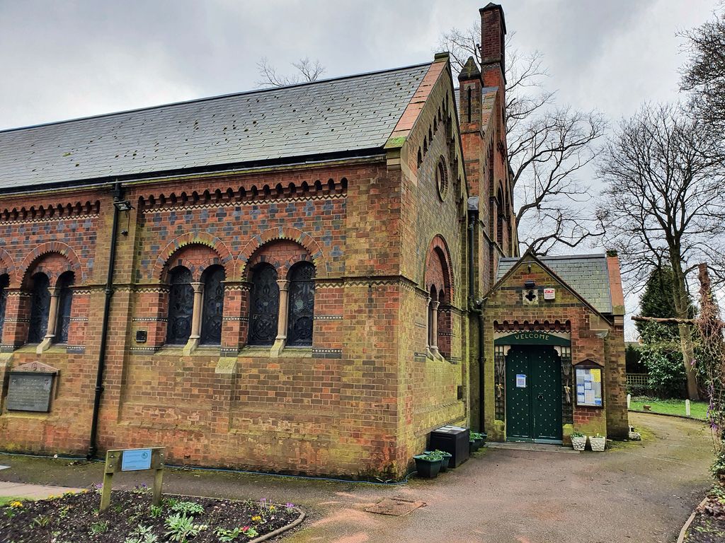
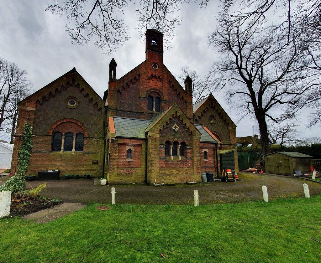
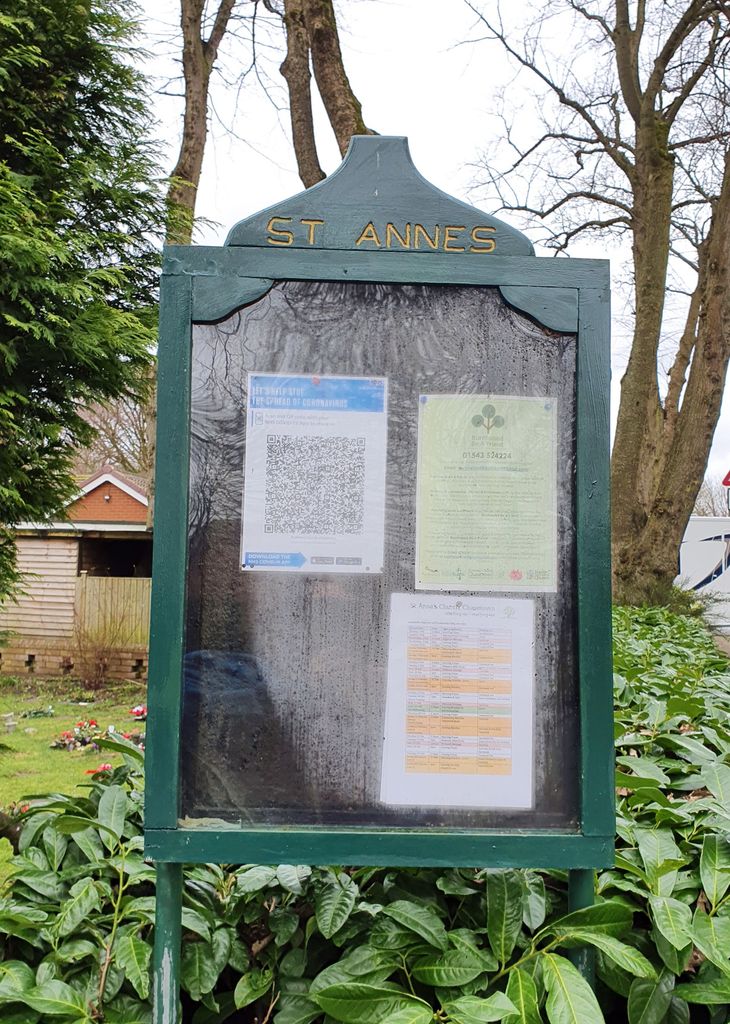
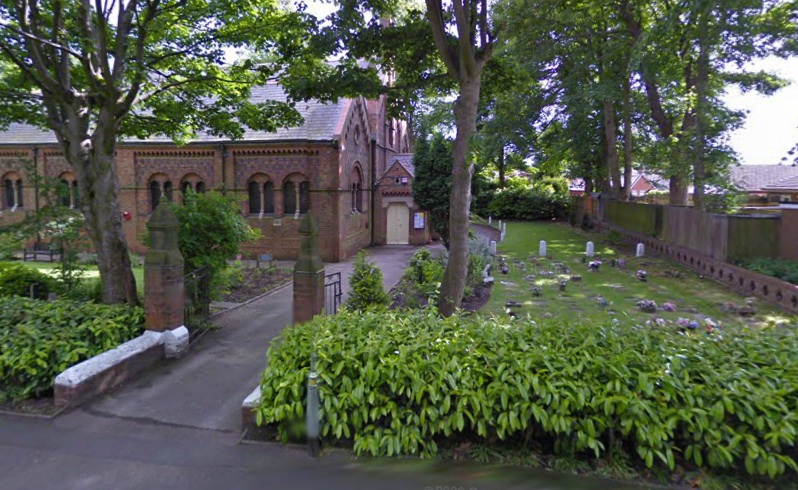
| Memorials | : | 1 |
| Location | : | Burntwood, Lichfield District, England |
| Coordinate | : | 52.6693850, -1.9381720 |
frequently asked questions (FAQ):
-
Where is St. Anne Churchyard Chasetown?
St. Anne Churchyard Chasetown is located at Church St. Burntwood, Lichfield District ,Staffordshire , WS7 3QLEngland.
-
St. Anne Churchyard Chasetown cemetery's updated grave count on graveviews.com?
1 memorials
-
Where are the coordinates of the St. Anne Churchyard Chasetown?
Latitude: 52.6693850
Longitude: -1.9381720
Nearby Cemetories:
1. Chase and District Memorial Park
Burntwood, Lichfield District, England
Coordinate: 52.6817140, -1.9339150
2. St John's Church Cemetery
Burntwood, Lichfield District, England
Coordinate: 52.6901000, -1.9349300
3. Christchurch Cemetery
Burntwood, Lichfield District, England
Coordinate: 52.6787639, -1.8969201
4. St Matthew's Hospital Burial Ground
Burntwood, Lichfield District, England
Coordinate: 52.6804500, -1.8937800
5. St John Churchyard
Heath Hayes, Cannock Chase District, England
Coordinate: 52.6914160, -1.9846280
6. Christ Church Gentleshaw
Rugeley, Cannock Chase District, England
Coordinate: 52.7050151, -1.9264458
7. St. Peter's Churchyard
Hednesford, Cannock Chase District, England
Coordinate: 52.7050630, -1.9918330
8. Our Lady of Lourdes Churchyard
Hednesford, Cannock Chase District, England
Coordinate: 52.7051311, -1.9969935
9. St Peter's Churchyard
Stonnall, Lichfield District, England
Coordinate: 52.6266750, -1.8923110
10. St. John's Churchyard
Wall, Lichfield District, England
Coordinate: 52.6575100, -1.8553200
11. St. Mark's Churchyard
Great Wyrley, South Staffordshire Borough, England
Coordinate: 52.6664250, -2.0231955
12. Great Wyrley Cemetery
Great Wyrley, South Staffordshire Borough, England
Coordinate: 52.6642130, -2.0269380
13. St Mary Roman Catholic Churchyard
Cannock, Cannock Chase District, England
Coordinate: 52.6867620, -2.0283360
14. St. Luke's Churchyard
Cannock, Cannock Chase District, England
Coordinate: 52.6889919, -2.0287352
15. Strawberry Lane Cemetery
Cheslyn Hay, South Staffordshire Borough, England
Coordinate: 52.6485291, -2.0300821
16. North Walsall Cemetery
Bloxwich, Metropolitan Borough of Walsall, England
Coordinate: 52.6321680, -2.0151070
17. Christ Church Churchyard
Lichfield, Lichfield District, England
Coordinate: 52.6812150, -1.8405800
18. Bloxwich Cemetery
Bloxwich, Metropolitan Borough of Walsall, England
Coordinate: 52.6188070, -1.9963110
19. Cannock Cemetery
Cannock, Cannock Chase District, England
Coordinate: 52.7008790, -2.0288950
20. Cheslyn Hay Cemetery
Cheslyn Hay, South Staffordshire Borough, England
Coordinate: 52.6581170, -2.0431790
21. St. James the Great Churchyard
Longdon, Lichfield District, England
Coordinate: 52.7250710, -1.8800360
22. Lichfield Cathedral
Lichfield, Lichfield District, England
Coordinate: 52.6855650, -1.8304500
23. Grey Friars Churchyard
Lichfield, Lichfield District, England
Coordinate: 52.6829030, -1.8282720
24. All Saints Church Cemetery
Bloxwich, Metropolitan Borough of Walsall, England
Coordinate: 52.6147940, -2.0050330