
| Memorials | : | 0 |
| Location | : | Kinlet, Shropshire Unitary Authority, England |
| Coordinate | : | 52.4265270, -2.4270270 |
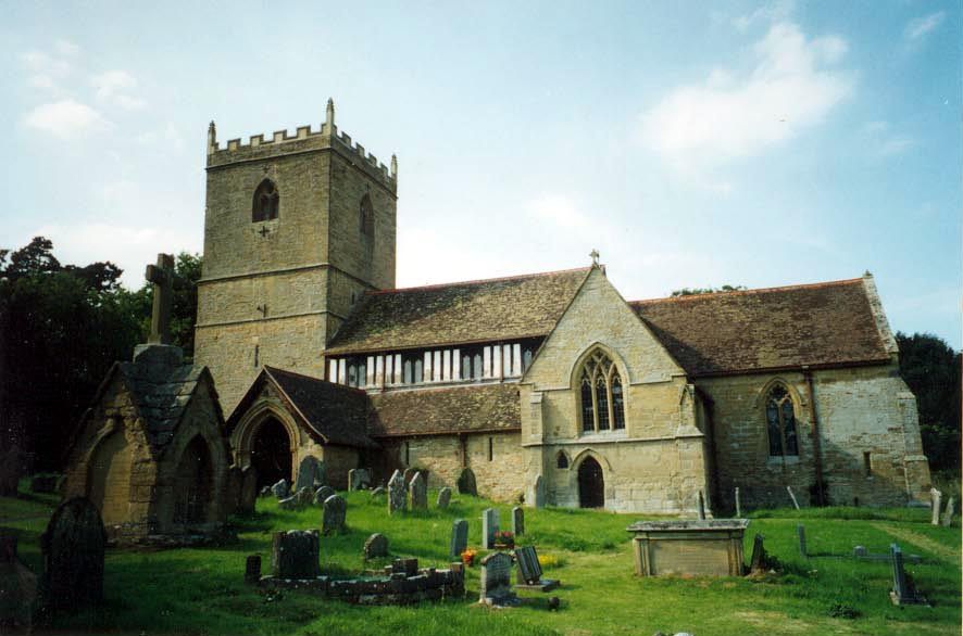
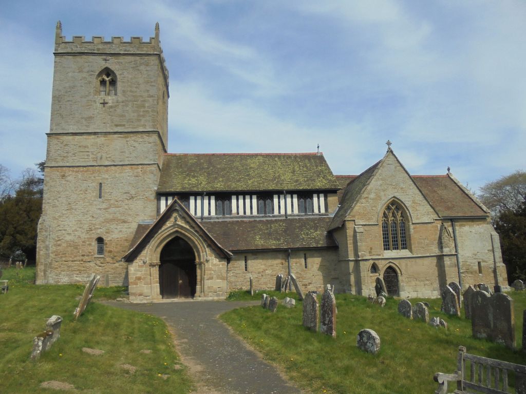
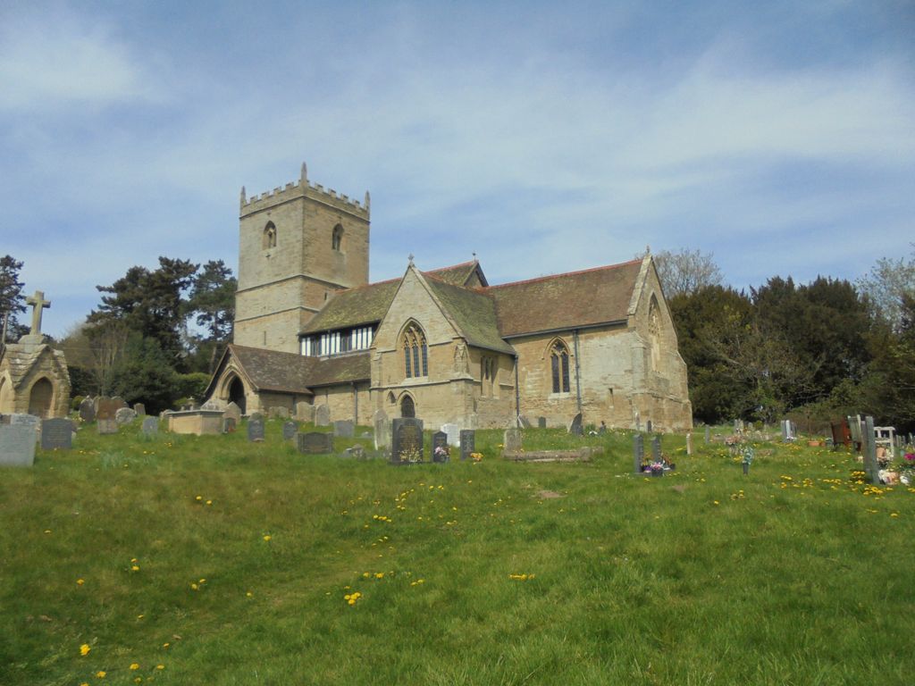
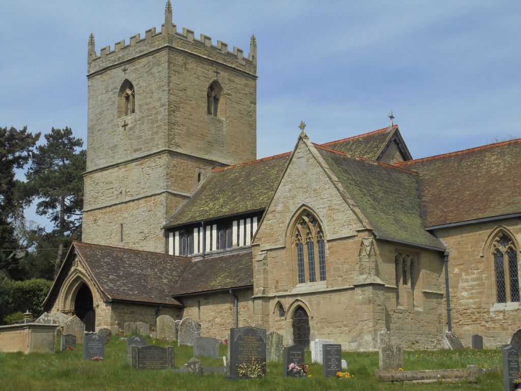
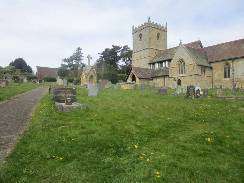
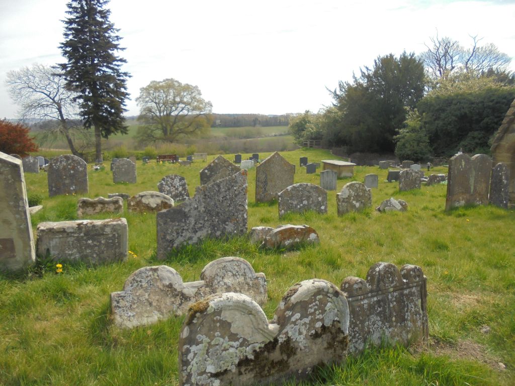
| Description | : | Kinlet: St John the Baptist Off the drive of Kinlet Hall, through the gates opposite the Eagle & Serpent pub on the B4363, Kinlet, Shropshire, DY12 3BL |
frequently asked questions (FAQ):
-
Where is St. John the Baptist Churchyard?
St. John the Baptist Churchyard is located at Kinlet, Shropshire Unitary Authority ,Shropshire , DY12 3BLEngland.
-
St. John the Baptist Churchyard cemetery's updated grave count on graveviews.com?
0 memorials
-
Where are the coordinates of the St. John the Baptist Churchyard?
Latitude: 52.4265270
Longitude: -2.4270270
Nearby Cemetories:
1. Chorley Chapel Burial Ground
Chorley, Shropshire Unitary Authority, England
Coordinate: 52.4463570, -2.4409710
2. St. Mary's Churchyard
Highley, Shropshire Unitary Authority, England
Coordinate: 52.4465100, -2.3818640
3. Neen Savage
Cleobury Mortimer, Shropshire Unitary Authority, England
Coordinate: 52.3930000, -2.4799400
4. St. Peter's Churchyard
Upper Arley, Wyre Forest District, England
Coordinate: 52.4215560, -2.3486760
5. Saint Mary the Virgin Churchyard
Alveley, Shropshire Unitary Authority, England
Coordinate: 52.4581590, -2.3553520
6. Holy Trinity Churchyard
Far Forest, Wyre Forest District, England
Coordinate: 52.3730700, -2.4004200
7. Holy Trinity Churchyard
Kidderminster, Wyre Forest District, England
Coordinate: 52.3727940, -2.3999840
8. St Mary the Virgin
Cleobury Mortimer, Shropshire Unitary Authority, England
Coordinate: 52.3792280, -2.4803610
9. Saint Peter's Church
Chelmarsh, Shropshire Unitary Authority, England
Coordinate: 52.4878300, -2.4129890
10. St. Giles' Churchyard
Farlow, Shropshire Unitary Authority, England
Coordinate: 52.4222750, -2.5316310
11. St Bartholomew Churchyard
Glazeley, Shropshire Unitary Authority, England
Coordinate: 52.4913000, -2.4385000
12. St Bartholomews Churchyard
Bayton, Malvern Hills District, England
Coordinate: 52.3562100, -2.4548200
13. Holy Trinity Churchyard
Trimpley, Wyre Forest District, England
Coordinate: 52.4068300, -2.3111690
14. St Andrews Churchyard
Bewdley, Wyre Forest District, England
Coordinate: 52.3851154, -2.3254050
15. St. Michael's Churchyard
Aston Botterell, Shropshire Unitary Authority, England
Coordinate: 52.4537240, -2.5422030
16. St. Michael & All Angels Churchyard
Hopton Wafers, Shropshire Unitary Authority, England
Coordinate: 52.3857100, -2.5343700
17. St John the Baptist Churchyard
Mamble, Malvern Hills District, England
Coordinate: 52.3416520, -2.4586520
18. All Saints Churchyard
Bewdley, Wyre Forest District, England
Coordinate: 52.3785910, -2.3056640
19. Hopton Bank Methodist Church Burial Ground
Hopton Wafers, Shropshire Unitary Authority, England
Coordinate: 52.3872950, -2.5584430
20. St Laurence Churchyard
Burwarton, Shropshire Unitary Authority, England
Coordinate: 52.4611160, -2.5637380
21. St. Peter and St. Paul's Churchyard
Rock, Wyre Forest District, England
Coordinate: 52.3381020, -2.3955030
22. St Leonard's Churchyard
Ribbesford, Wyre Forest District, England
Coordinate: 52.3640200, -2.3147800
23. St. Giles Churchyard
Chetton, Shropshire Unitary Authority, England
Coordinate: 52.5101600, -2.4966300
24. St. Peter and St. Paul Churchyard
Cleobury North, Shropshire Unitary Authority, England
Coordinate: 52.4796420, -2.5562440