
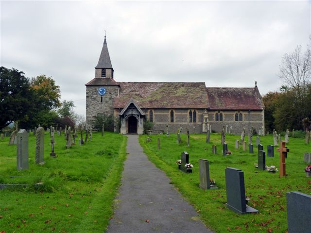
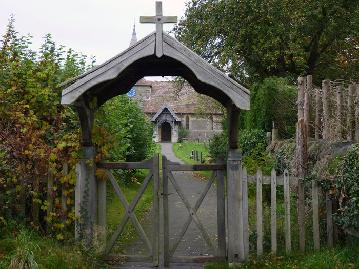
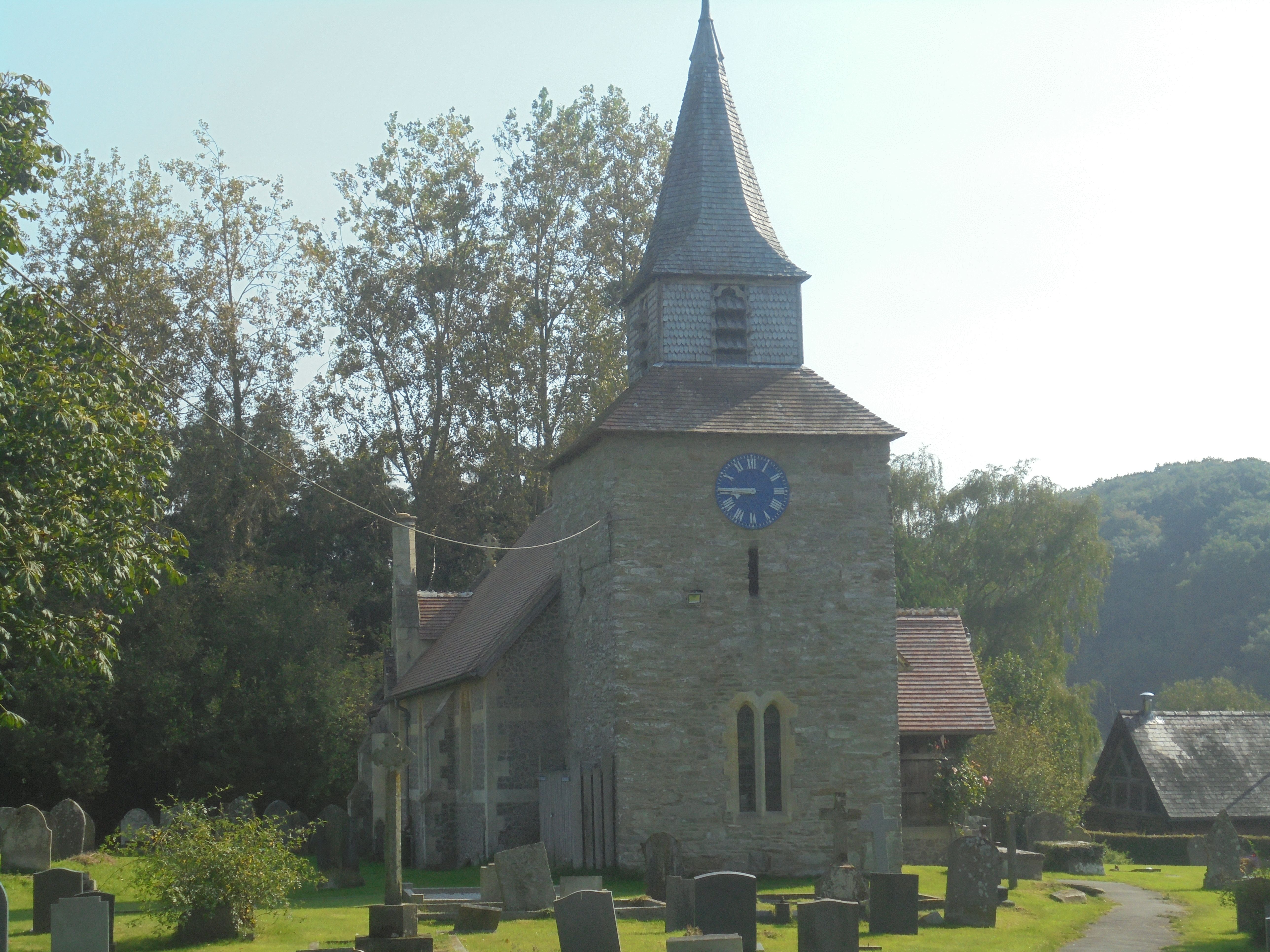
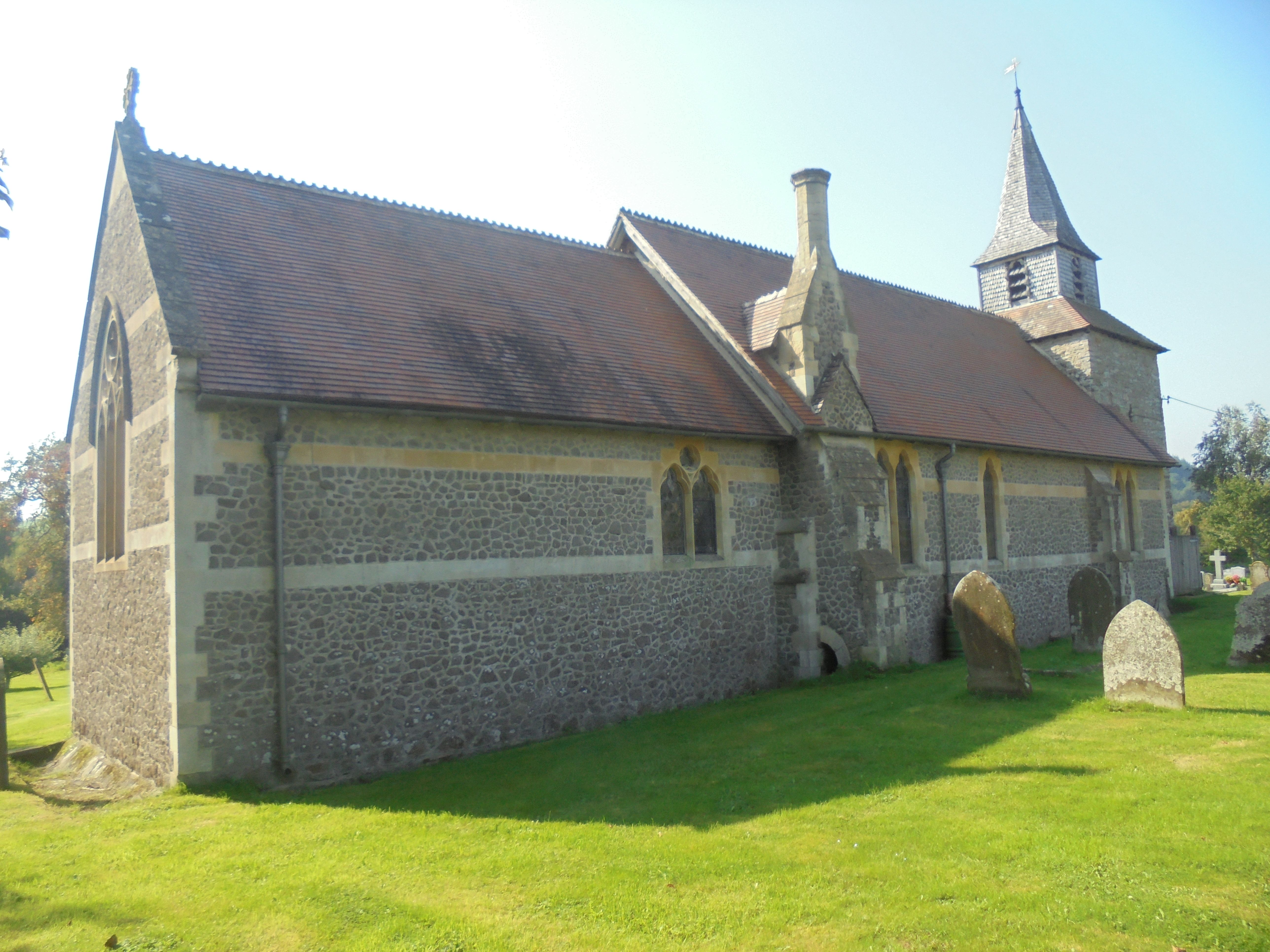
| Memorials | : | 3 |
| Location | : | Lingen, Herefordshire Unitary Authority, England |
| Coordinate | : | 52.2992480, -2.9317460 |
frequently asked questions (FAQ):
-
Where is St. Michael and All Angels Churchyard?
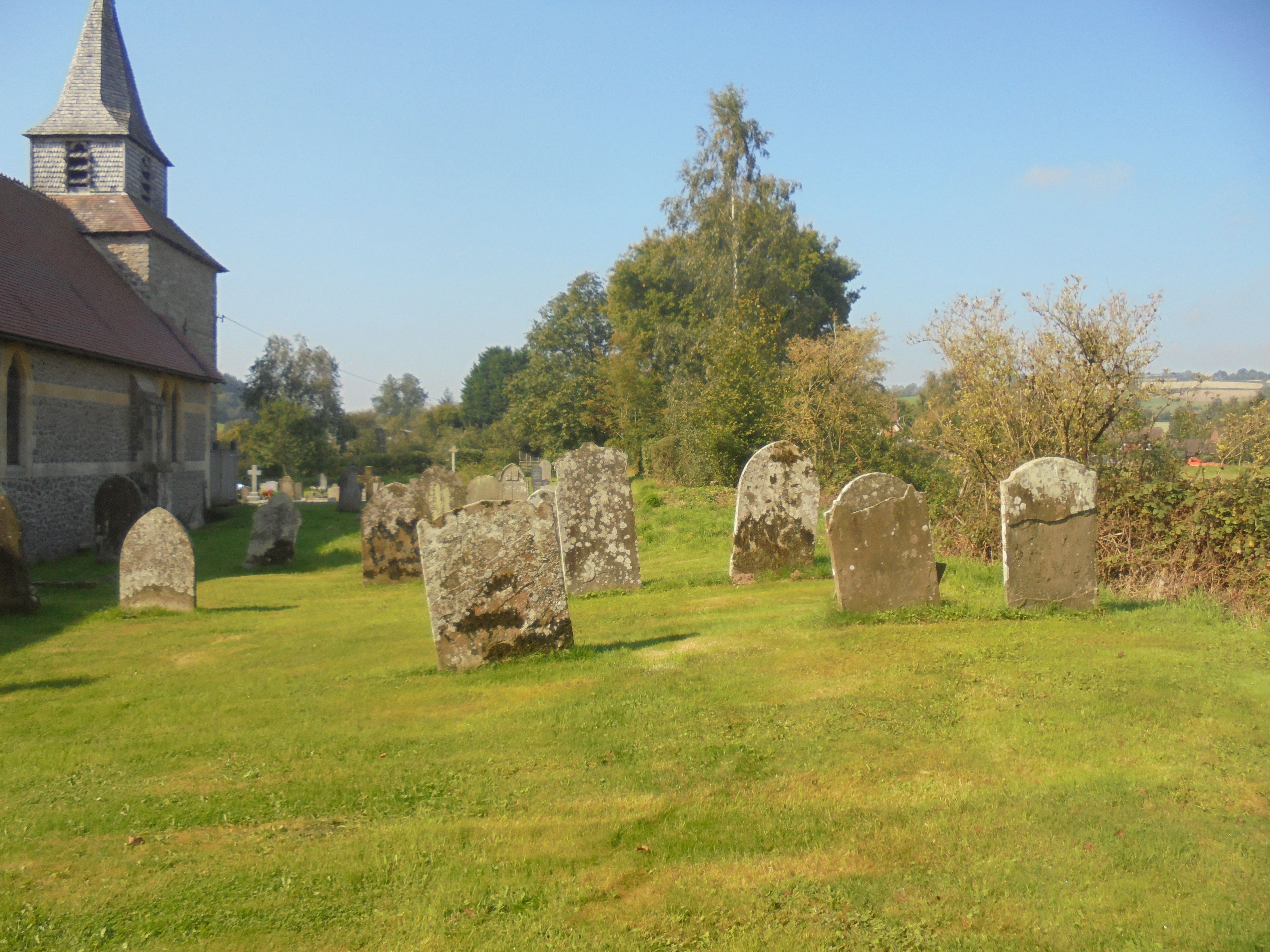
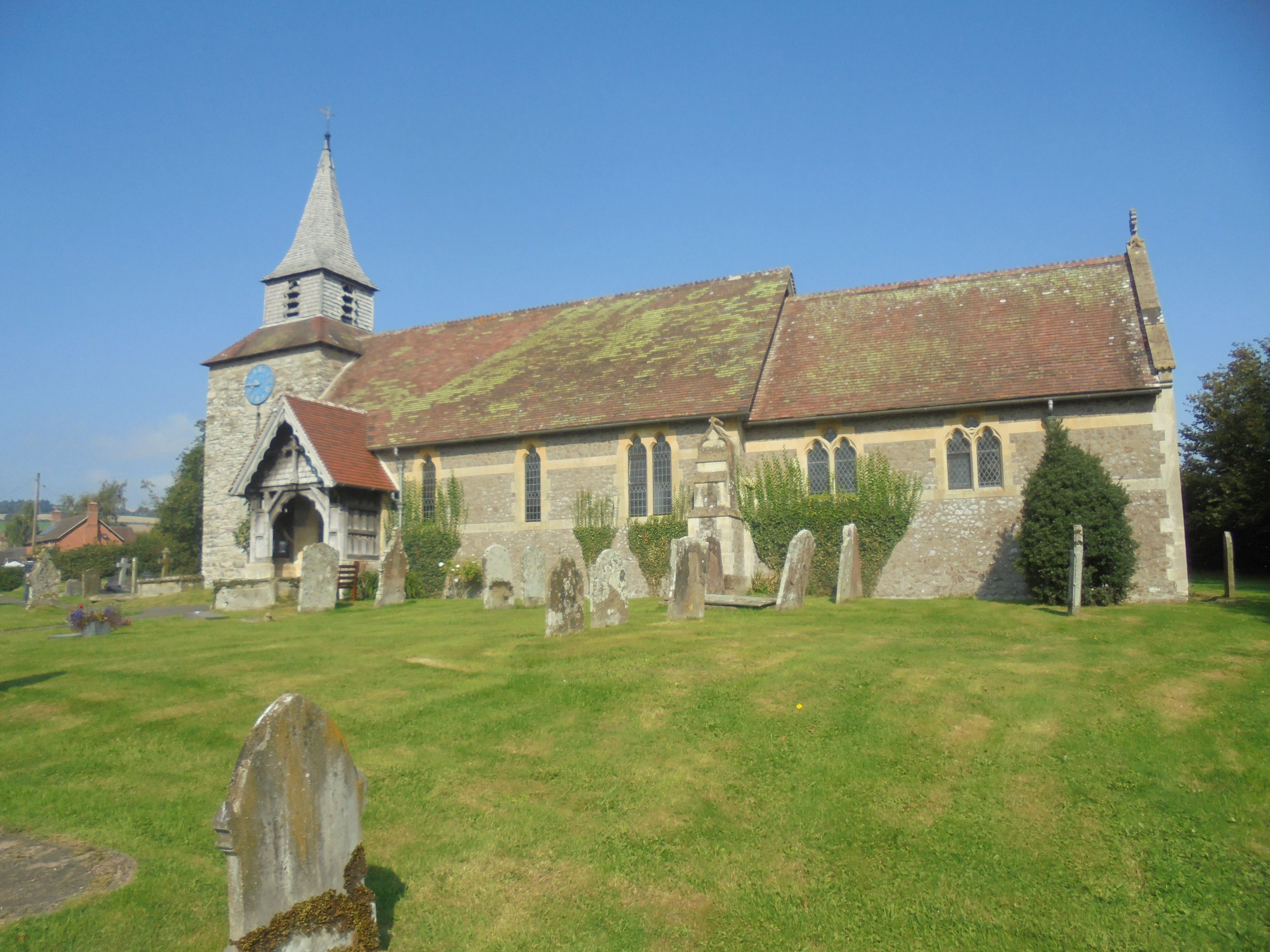
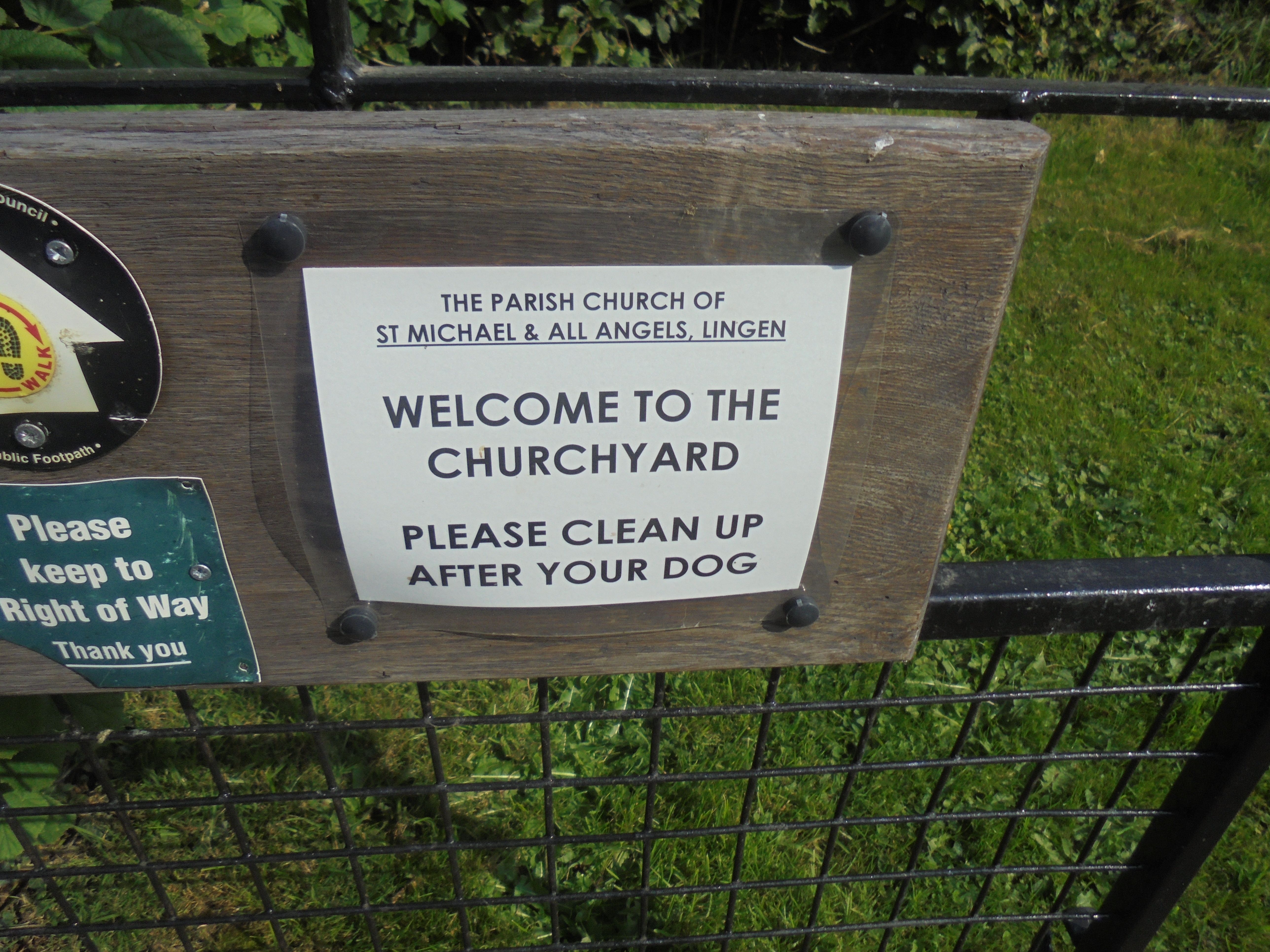
St. Michael and All Angels Churchyard is located at Lingen, Herefordshire Unitary Authority ,Herefordshire , SY7 0DYEngland.
-
St. Michael and All Angels Churchyard cemetery's updated grave count on graveviews.com?
3 memorials
-
Where are the coordinates of the St. Michael and All Angels Churchyard?
Latitude: 52.2992480
Longitude: -2.9317460
Nearby Cemetories:
1. St. Barnabas Churchyard
Brampton Bryan, Herefordshire Unitary Authority, England
Coordinate: 52.3470760, -2.9255360
2. Church of St John the Baptist and St Alkmund
Aymestrey, Herefordshire Unitary Authority, England
Coordinate: 52.2813000, -2.8428000
3. St Mary Churchyard
Bucknell, Shropshire Unitary Authority, England
Coordinate: 52.3592220, -2.9490030
4. St Mary Churchyard
Bedstone, Shropshire Unitary Authority, England
Coordinate: 52.3759660, -2.9284570
5. St Michael and All Angels Churchyard
Croft, Herefordshire Unitary Authority, England
Coordinate: 52.2841090, -2.8079510
6. St. George's Churchyard
Burrington, Herefordshire Unitary Authority, England
Coordinate: 52.3440700, -2.8200100
7. St. Mary the Virgin Churchyard
Elton, Shropshire Unitary Authority, England
Coordinate: 52.3345972, -2.7969324
8. St Michael and All Angels Churchyard
Kingsland, Herefordshire Unitary Authority, England
Coordinate: 52.2469640, -2.8117000
9. St Michael and All Angels Churchyard
Knill, Herefordshire Unitary Authority, England
Coordinate: 52.2377070, -3.0396000
10. St Mary's Churchyard
Hopton Castle, Shropshire Unitary Authority, England
Coordinate: 52.3985640, -2.9369870
11. St. Edward Churchyard
Hopton Castle, Shropshire Unitary Authority, England
Coordinate: 52.3985700, -2.9369700
12. St Cuthbert Churchyard
Clungunford, Shropshire Unitary Authority, England
Coordinate: 52.4032350, -2.8909360
13. All Saint's Churchyard
Leominster, Herefordshire Unitary Authority, England
Coordinate: 52.2496430, -2.7703330
14. St Mary Churchyard
Kington, Herefordshire Unitary Authority, England
Coordinate: 52.2044990, -3.0384990
15. Kington Cemetery
Kington, Herefordshire Unitary Authority, England
Coordinate: 52.1936780, -3.0209970
16. St. Peter and St. Paul
Leominster, Herefordshire Unitary Authority, England
Coordinate: 52.2704100, -2.7398260
17. St. Swithin Churchyard
Clunbury, Shropshire Unitary Authority, England
Coordinate: 52.4201670, -2.9261080
18. St George Churchyard
Clun, Shropshire Unitary Authority, England
Coordinate: 52.4184914, -3.0303540
19. Clun Cemetery
Clun, Shropshire Unitary Authority, England
Coordinate: 52.4215490, -3.0224990
20. St. Mary the Virgin Churchyard
Bromfield, Shropshire Unitary Authority, England
Coordinate: 52.3873900, -2.7636700
21. St. John's Churchyard
Ivington, Herefordshire Unitary Authority, England
Coordinate: 52.2054890, -2.7700320
22. Priory Churchyard
Leominster, Herefordshire Unitary Authority, England
Coordinate: 52.2293470, -2.7357830
23. Leominster Nunnery (Defunct)
Leominster, Herefordshire Unitary Authority, England
Coordinate: 52.2294090, -2.7343900
24. Leominster Moravian Burial Ground
Leominster, Herefordshire Unitary Authority, England
Coordinate: 52.2230890, -2.7394685