
| Memorials | : | 0 |
| Location | : | Preston Patrick, South Lakeland District, England |
| Coordinate | : | 54.2451230, -2.7120480 |
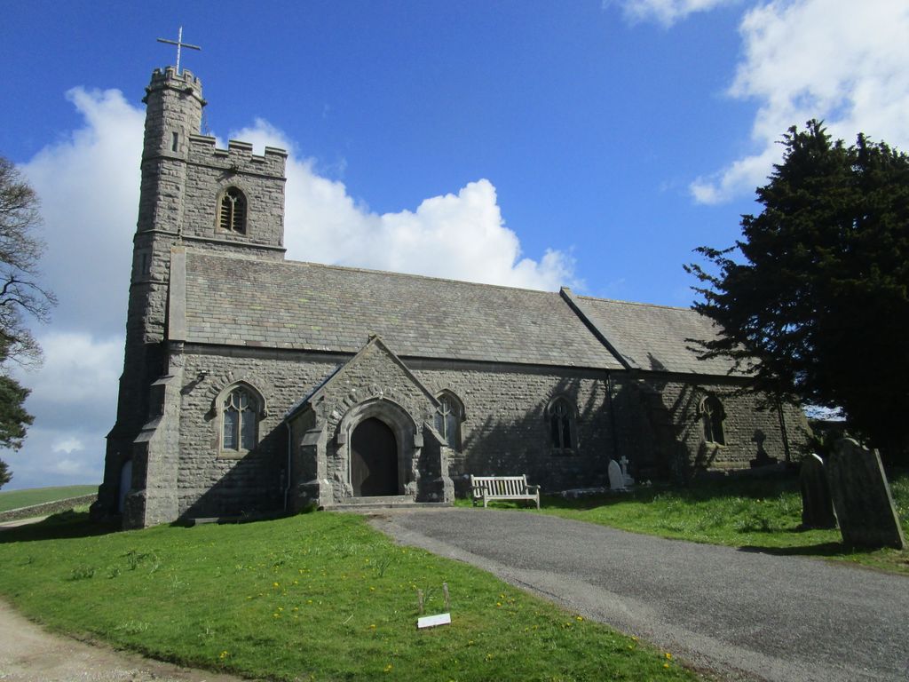
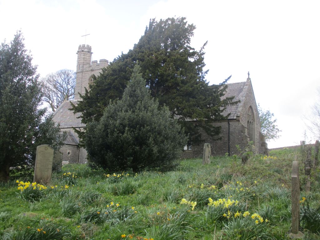
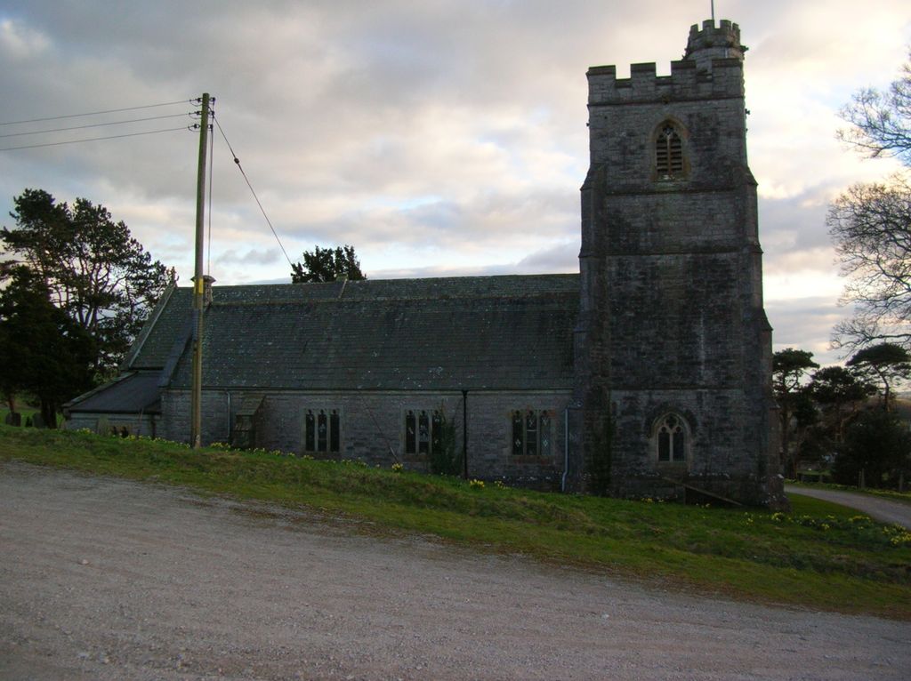
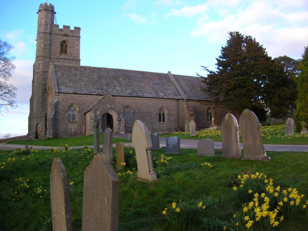
| Description | : | The church was originally dedicated to St Gregory, and a well still exists to this day nearby, called Gregory's well.The original parish church was built in the 1500's, but was drastically re-built in 1852. There are a few small pieces of the original church incorporated into the more modern building. Some of the original windows and niches remain. |
frequently asked questions (FAQ):
-
Where is St. Patrick's Churchyard?
St. Patrick's Churchyard is located at Preston Patrick, South Lakeland District ,Cumbria , LA7 7NYEngland.
-
St. Patrick's Churchyard cemetery's updated grave count on graveviews.com?
0 memorials
-
Where are the coordinates of the St. Patrick's Churchyard?
Latitude: 54.2451230
Longitude: -2.7120480
Nearby Cemetories:
1. Friends Meeting House Burial Ground
Preston Patrick, South Lakeland District, England
Coordinate: 54.2499970, -2.7042040
2. St. Thomas' Churchyard
Crosscrake, South Lakeland District, England
Coordinate: 54.2763700, -2.7335300
3. St. Thomas Church Cemetery
Milnthorpe, South Lakeland District, England
Coordinate: 54.2269300, -2.7651600
4. All Saints Churchyard
Lupton, South Lakeland District, England
Coordinate: 54.2217340, -2.6649730
5. St. Peter's Churchyard
Heversham, South Lakeland District, England
Coordinate: 54.2436690, -2.7749850
6. St. Thomas Churchyard
Milnthorpe, South Lakeland District, England
Coordinate: 54.2267500, -2.7711100
7. Holy Trinity Churchyard
Holme, South Lakeland District, England
Coordinate: 54.2030730, -2.7318680
8. St John the Evangelist Churchyard
Levens, South Lakeland District, England
Coordinate: 54.2647380, -2.7920660
9. Beetham Hall Crematorium
Milnthorpe, South Lakeland District, England
Coordinate: 54.2066938, -2.7690287
10. St Michael and All Angels Churchyard
Beetham, South Lakeland District, England
Coordinate: 54.2093740, -2.7741380
11. St John's Churchyard
Hutton Roof, South Lakeland District, England
Coordinate: 54.2029600, -2.6615600
12. Beetham (St. Michael) Churchyard Extension
Beetham, South Lakeland District, England
Coordinate: 54.2100538, -2.7768882
13. St Mark's Churchyard
Natland, South Lakeland District, England
Coordinate: 54.2961380, -2.7374200
14. St Peter's Churchyard
Mansergh, South Lakeland District, England
Coordinate: 54.2384190, -2.6118450
15. St James Churchyard
Burton-in-Kendal, South Lakeland District, England
Coordinate: 54.1859270, -2.7210310
16. Helsington Churchyard
Helsington, South Lakeland District, England
Coordinate: 54.2934390, -2.7871630
17. St. Stephen's Churchyard
New Hutton, South Lakeland District, England
Coordinate: 54.3156560, -2.6747130
18. Parkside Cemetery
Kendal, South Lakeland District, England
Coordinate: 54.3210870, -2.7362680
19. St Mary the Virgin Churchyard
Kirkby Lonsdale, South Lakeland District, England
Coordinate: 54.2036550, -2.5976790
20. Holy Trinity Church
Kendal, South Lakeland District, England
Coordinate: 54.3223970, -2.7448770
21. Church of Holy Ghost
Middleton, South Lakeland District, England
Coordinate: 54.2697500, -2.5800700
22. St. John the Evangelist Churchyard
Yealand Conyers, City of Lancaster, England
Coordinate: 54.1667470, -2.7565170
23. Quaker Burial Ground
Kendal, South Lakeland District, England
Coordinate: 54.3278200, -2.7285500
24. St Bartholomew Churchyard
Barbon, South Lakeland District, England
Coordinate: 54.2365440, -2.5682800