
| Memorials | : | 0 |
| Location | : | Sulhamstead, West Berkshire Unitary Authority, England |
| Coordinate | : | 51.4119700, -1.0825800 |
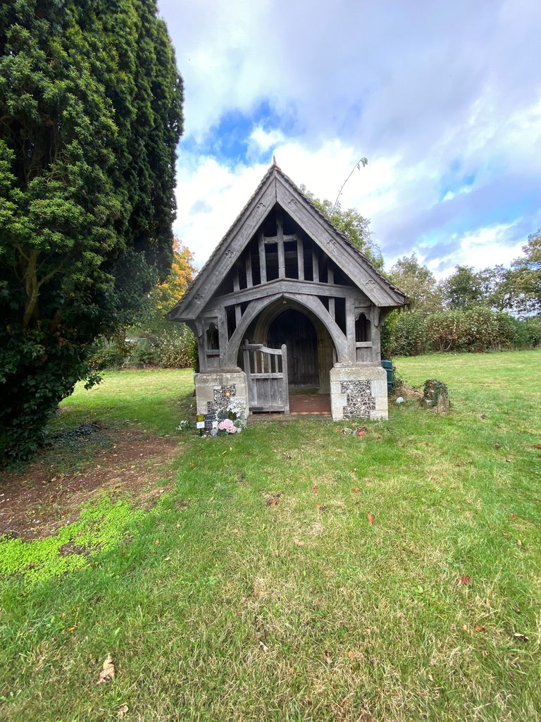
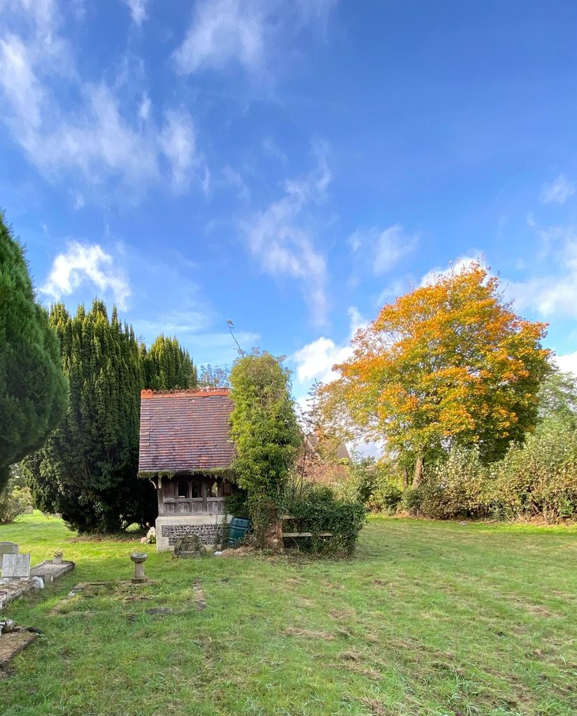
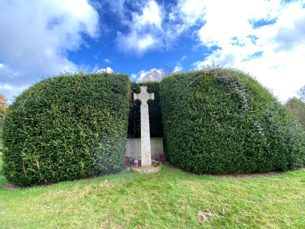
| Description | : | Now know as St Michaels Burial Ground. The church has been demolished. |
frequently asked questions (FAQ):
-
Where is St Michaels Churchyard?
St Michaels Churchyard is located at St Michaels Lane Sulhamstead, West Berkshire Unitary Authority ,Berkshire , RG7 4DPEngland.
-
St Michaels Churchyard cemetery's updated grave count on graveviews.com?
0 memorials
-
Where are the coordinates of the St Michaels Churchyard?
Latitude: 51.4119700
Longitude: -1.0825800
Nearby Cemetories:
1. Holy Trinity Churchyard
Theale, West Berkshire Unitary Authority, England
Coordinate: 51.4367420, -1.0825640
2. St. Mary's Churchyard
Burghfield, West Berkshire Unitary Authority, England
Coordinate: 51.4110000, -1.0420000
3. St John the Baptist
Padworth, West Berkshire Unitary Authority, England
Coordinate: 51.3911075, -1.1198134
4. Saint Mark's Church
Englefield, West Berkshire Unitary Authority, England
Coordinate: 51.4435960, -1.1036540
5. St Saviour Churchyard
Mortimer West End, Basingstoke and Deane Borough, England
Coordinate: 51.3682600, -1.0912800
6. Saint Nicholas Churchyard
Sulham, West Berkshire Unitary Authority, England
Coordinate: 51.4632900, -1.0729000
7. St. Laurence Churchyard
Tidmarsh, West Berkshire Unitary Authority, England
Coordinate: 51.4663800, -1.0873800
8. Holy Trinity Churchyard
Grazeley, Wokingham Borough, England
Coordinate: 51.3972008, -0.9965683
9. St Mary the Virgin Churchyard
Silchester, Basingstoke and Deane Borough, England
Coordinate: 51.3564000, -1.0775700
10. St Peter Churchyard
Woolhampton, West Berkshire Unitary Authority, England
Coordinate: 51.4053580, -1.1715340
11. Pangbourne Cemetery
Pangbourne, West Berkshire Unitary Authority, England
Coordinate: 51.4805420, -1.0961030
12. Buckhold (Holy Trinity) Churchyard
Pangbourne, West Berkshire Unitary Authority, England
Coordinate: 51.4710470, -1.1438470
13. St Mary the Virgin Cemetery
Purley on Thames, West Berkshire Unitary Authority, England
Coordinate: 51.4797100, -1.0402200
14. St Mary the Virgin Churchyard
Whitchurch-on-Thames, South Oxfordshire District, England
Coordinate: 51.4881640, -1.0868770
15. Stratfield Saye House
Stratfield Saye, Basingstoke and Deane Borough, England
Coordinate: 51.3522220, -1.0058200
16. St. Margaret's Churchyard
Mapledurham, South Oxfordshire District, England
Coordinate: 51.4850830, -1.0364690
17. Chapel of St Michael the Archangel
Mapledurham, South Oxfordshire District, England
Coordinate: 51.4849140, -1.0355910
18. Greyfriars Churchyard
Reading, Reading Borough, England
Coordinate: 51.4567920, -0.9764880
19. St Mary the Virgin Churchyard
Bucklebury, West Berkshire Unitary Authority, England
Coordinate: 51.4341310, -1.2059030
20. St Giles Churchyard
Reading, Reading Borough, England
Coordinate: 51.4509510, -0.9704450
21. St. Mary's Churchyard
Reading, Reading Borough, England
Coordinate: 51.4544953, -0.9735278
22. St. Mary Churchyard
Shinfield, Wokingham Borough, England
Coordinate: 51.4081180, -0.9524620
23. St Mary Churchyard
Stratfield Saye, Basingstoke and Deane Borough, England
Coordinate: 51.3474200, -1.0023700
24. Bucklebury Churchyard
Bucklebury, West Berkshire Unitary Authority, England
Coordinate: 51.4163030, -1.2162090