
| Memorials | : | 1 |
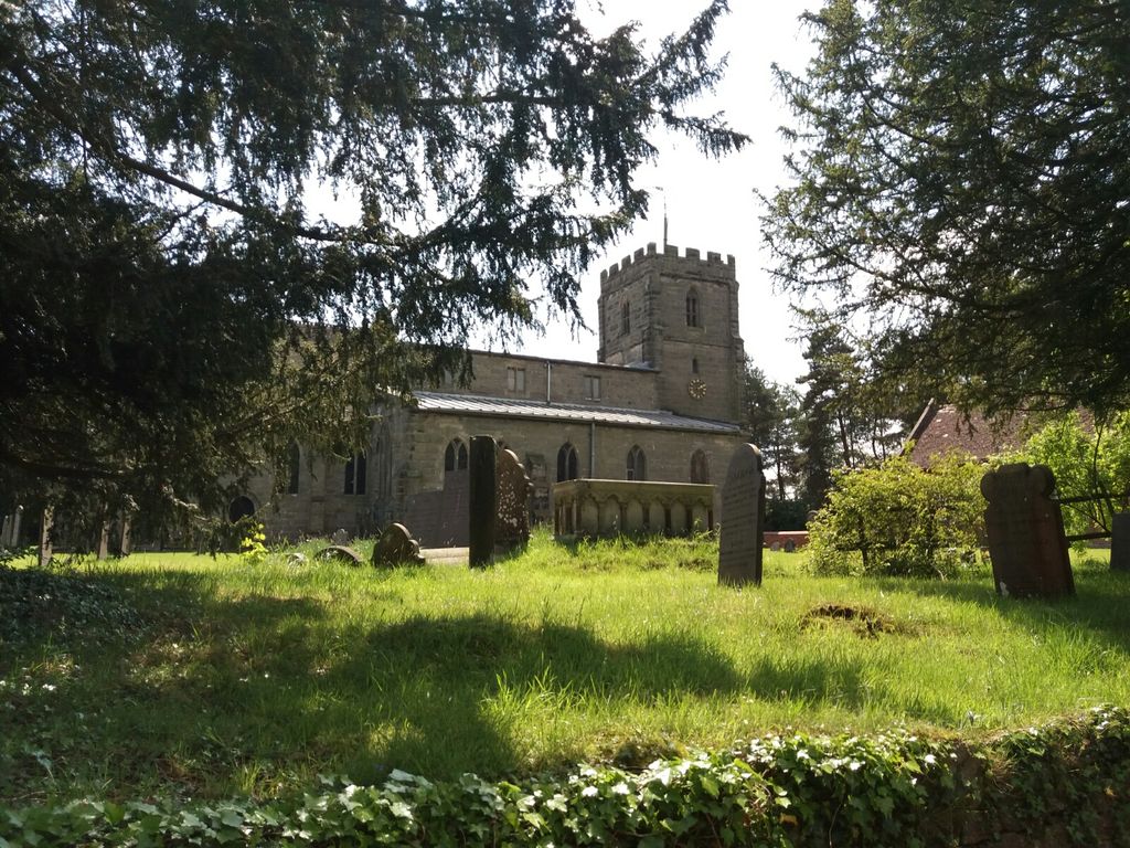
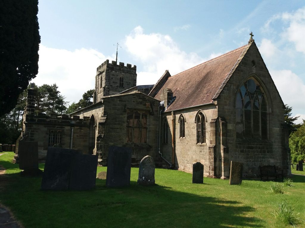
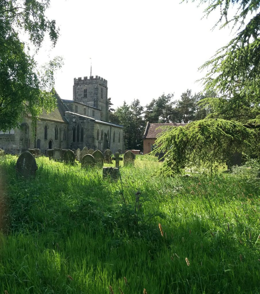
| Location | : | Kirk Langley, Amber Valley Borough, England |
| Coordinate | : | 52.9463000, -1.5747000 |
frequently asked questions (FAQ):
-
Where is St Michaels Churchyard?
St Michaels Churchyard is located at Kirk Langley, Amber Valley Borough ,Derbyshire ,England.
-
St Michaels Churchyard cemetery's updated grave count on graveviews.com?
1 memorials
-
Where are the coordinates of the St Michaels Churchyard?
Latitude: 52.9463000
Longitude: -1.5747000
Nearby Cemetories:
1. St Andrews Churchyard
Radbourne, South Derbyshire District, England
Coordinate: 52.9207000, -1.5759800
2. All Saints Churchyard
Kedleston, Amber Valley Borough, England
Coordinate: 52.9592000, -1.5367000
3. All Saints Churchyard
Mackworth, Amber Valley Borough, England
Coordinate: 52.9362637, -1.5249797
4. Christ Church Cemetery
Long Lane, Derbyshire Dales District, England
Coordinate: 52.9391990, -1.6264140
5. All Saints Churchyard
Mugginton, Amber Valley Borough, England
Coordinate: 52.9824770, -1.5794840
6. Markeaton Crematorium
Derby, Derby Unitary Authority, England
Coordinate: 52.9338110, -1.5172230
7. All Saints Churchyard
Trusley, South Derbyshire District, England
Coordinate: 52.9166300, -1.6243670
8. Old Chapel
Quarndon, Amber Valley Borough, England
Coordinate: 52.9575000, -1.5063000
9. All Saints Churchyard
Brailsford, Derbyshire Dales District, England
Coordinate: 52.9683200, -1.6367880
10. Brailsford Cemetery
Brailsford, Derbyshire Dales District, England
Coordinate: 52.9687740, -1.6365260
11. All Saints Churchyard
Mickleover, Derby Unitary Authority, England
Coordinate: 52.9043630, -1.5476790
12. All Saints Churchyard
Dalbury Lees, South Derbyshire District, England
Coordinate: 52.9053450, -1.6096710
13. St Paul Churchyard
Quarndon, Amber Valley Borough, England
Coordinate: 52.9654710, -1.5027530
14. St Edmund Churchyard
Allestree, Derby Unitary Authority, England
Coordinate: 52.9536510, -1.4835460
15. Uttoxeter Road Cemetery
Derby, Derby Unitary Authority, England
Coordinate: 52.9194000, -1.4938100
16. St Matthew Churchyard
Darley Abbey, Derby Unitary Authority, England
Coordinate: 52.9447240, -1.4793920
17. St Peter's Churchyard
Littleover, Derby Unitary Authority, England
Coordinate: 52.9039020, -1.5068650
18. Friar Gate Unitarian Chapel Chapelyard
Derby, Derby Unitary Authority, England
Coordinate: 52.9234250, -1.4840970
19. St Michael Churchyard
Sutton-on-the-Hill, South Derbyshire District, England
Coordinate: 52.9050080, -1.6484320
20. St. Alkmund's Churchyard
Derby, Derby Unitary Authority, England
Coordinate: 52.9281428, -1.4784725
21. Derby Cathedral
Derby, Derby Unitary Authority, England
Coordinate: 52.9248070, -1.4771920
22. Etwall Cemetery
Etwall, South Derbyshire District, England
Coordinate: 52.8856100, -1.6025100
23. Saint Helen's Churchyard
Etwall, South Derbyshire District, England
Coordinate: 52.8847700, -1.6017500
24. Duffield Evangelical Baptist Church Cemetery
Duffield, Amber Valley Borough, England
Coordinate: 52.9819754, -1.4866865