
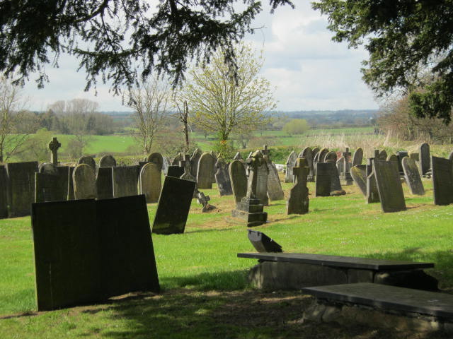
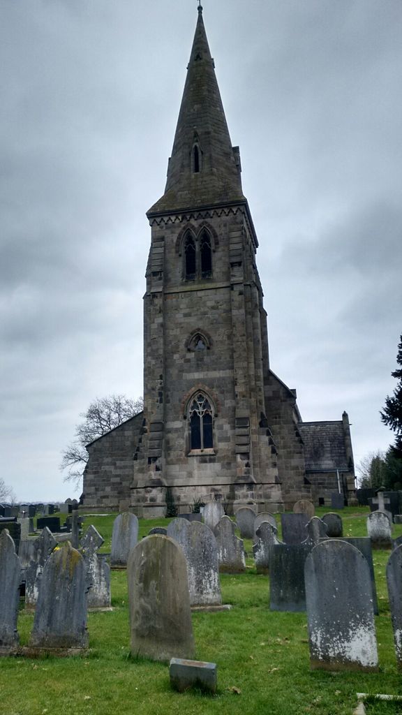
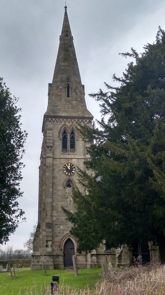
| Memorials | : | 1 |
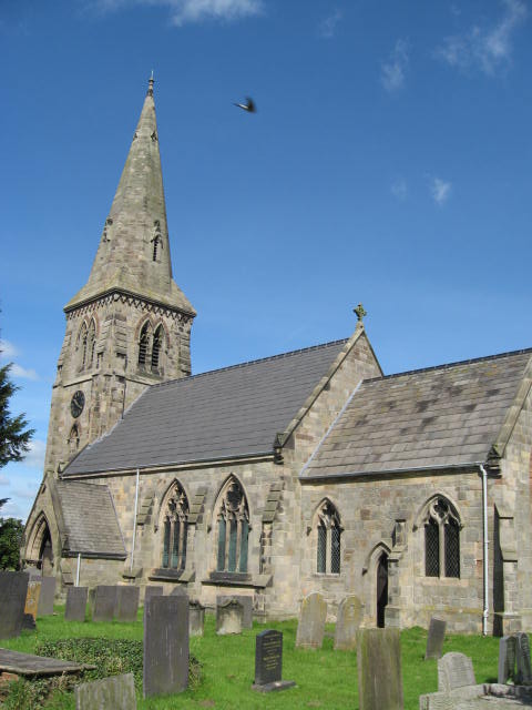
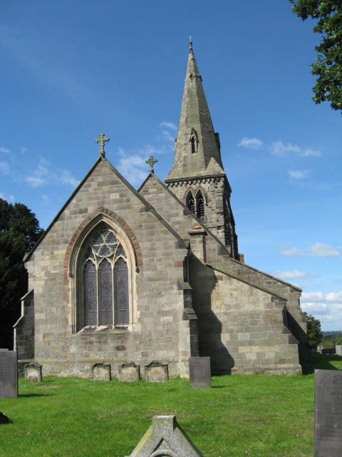
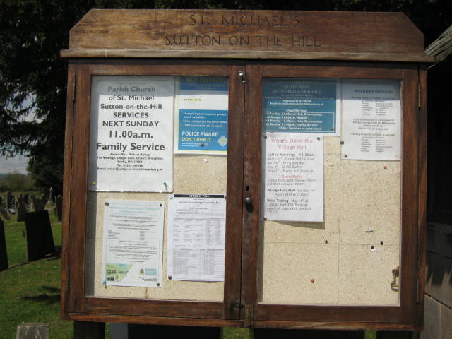
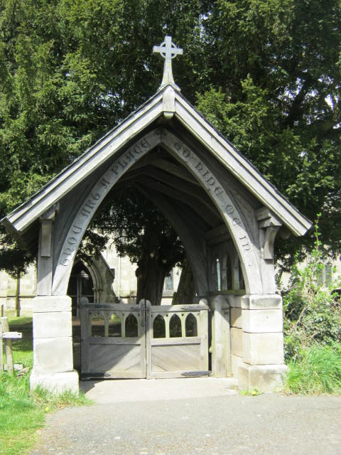
| Location | : | Sutton-on-the-Hill, South Derbyshire District, England |
| Coordinate | : | 52.9050080, -1.6484320 |
frequently asked questions (FAQ):
-
Where is St Michael Churchyard?
St Michael Churchyard is located at Sutton-on-the-Hill, South Derbyshire District ,Derbyshire ,England.
-
St Michael Churchyard cemetery's updated grave count on graveviews.com?
1 memorials
-
Where are the coordinates of the St Michael Churchyard?
Latitude: 52.9050080
Longitude: -1.6484320
Nearby Cemetories:
1. All Saints Churchyard
Trusley, South Derbyshire District, England
Coordinate: 52.9166300, -1.6243670
2. All Saints Churchyard
Dalbury Lees, South Derbyshire District, England
Coordinate: 52.9053450, -1.6096710
3. St Michael and All Angels Churchyard
Church Broughton, South Derbyshire District, England
Coordinate: 52.9009460, -1.6962610
4. Etwall Cemetery
Etwall, South Derbyshire District, England
Coordinate: 52.8856100, -1.6025100
5. Saint Helen's Churchyard
Etwall, South Derbyshire District, England
Coordinate: 52.8847700, -1.6017500
6. Christ Church Cemetery
Long Lane, Derbyshire Dales District, England
Coordinate: 52.9391990, -1.6264140
7. Marston-on-Dove Cemetery
Marston-on-Dove, South Derbyshire District, England
Coordinate: 52.8640550, -1.6552780
8. St Mary's
Marston-on-Dove, South Derbyshire District, England
Coordinate: 52.8633910, -1.6547730
9. St. Chad Churchyard
Longford, Derbyshire Dales District, England
Coordinate: 52.9419000, -1.6818000
10. St Andrews Churchyard
Radbourne, South Derbyshire District, England
Coordinate: 52.9207000, -1.5759800
11. Priory Church of St. Mary the Virgin
Tutbury, East Staffordshire Borough, England
Coordinate: 52.8590900, -1.6877900
12. St. John the Baptist Churchyard
Boylestone, Derbyshire Dales District, England
Coordinate: 52.9195410, -1.7313190
13. St. Paul's Churchyard Extension
Scropton, South Derbyshire District, England
Coordinate: 52.8687230, -1.7133750
14. Rolleston Cemetery
Rolleston-on-Dove, East Staffordshire Borough, England
Coordinate: 52.8483757, -1.6643849
15. St. Mary's Churchyard
Rolleston-on-Dove, East Staffordshire Borough, England
Coordinate: 52.8465144, -1.6519844
16. St. John's Churchyard
Alkmonton, Derbyshire Dales District, England
Coordinate: 52.9438800, -1.7229970
17. St Michaels Churchyard
Kirk Langley, Amber Valley Borough, England
Coordinate: 52.9463000, -1.5747000
18. All Saints Churchyard
Mickleover, Derby Unitary Authority, England
Coordinate: 52.9043630, -1.5476790
19. St. Wilfrid Churchyard
Egginton, South Derbyshire District, England
Coordinate: 52.8474570, -1.6041750
20. All Saints Churchyard
Brailsford, Derbyshire Dales District, England
Coordinate: 52.9683200, -1.6367880
21. Brailsford Cemetery
Brailsford, Derbyshire Dales District, England
Coordinate: 52.9687740, -1.6365260
22. Yeaveley Cemetery
Yeaveley, Derbyshire Dales District, England
Coordinate: 52.9552050, -1.7250170
23. St. Michael's Churchyard
Shirley, Derbyshire Dales District, England
Coordinate: 52.9718160, -1.6755680
24. St Mary's Church
Stretton, East Staffordshire Borough, England
Coordinate: 52.8341478, -1.6247215