
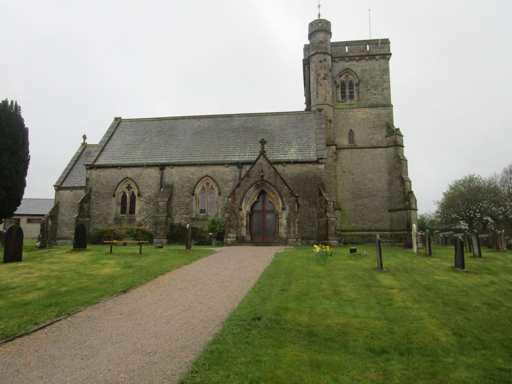
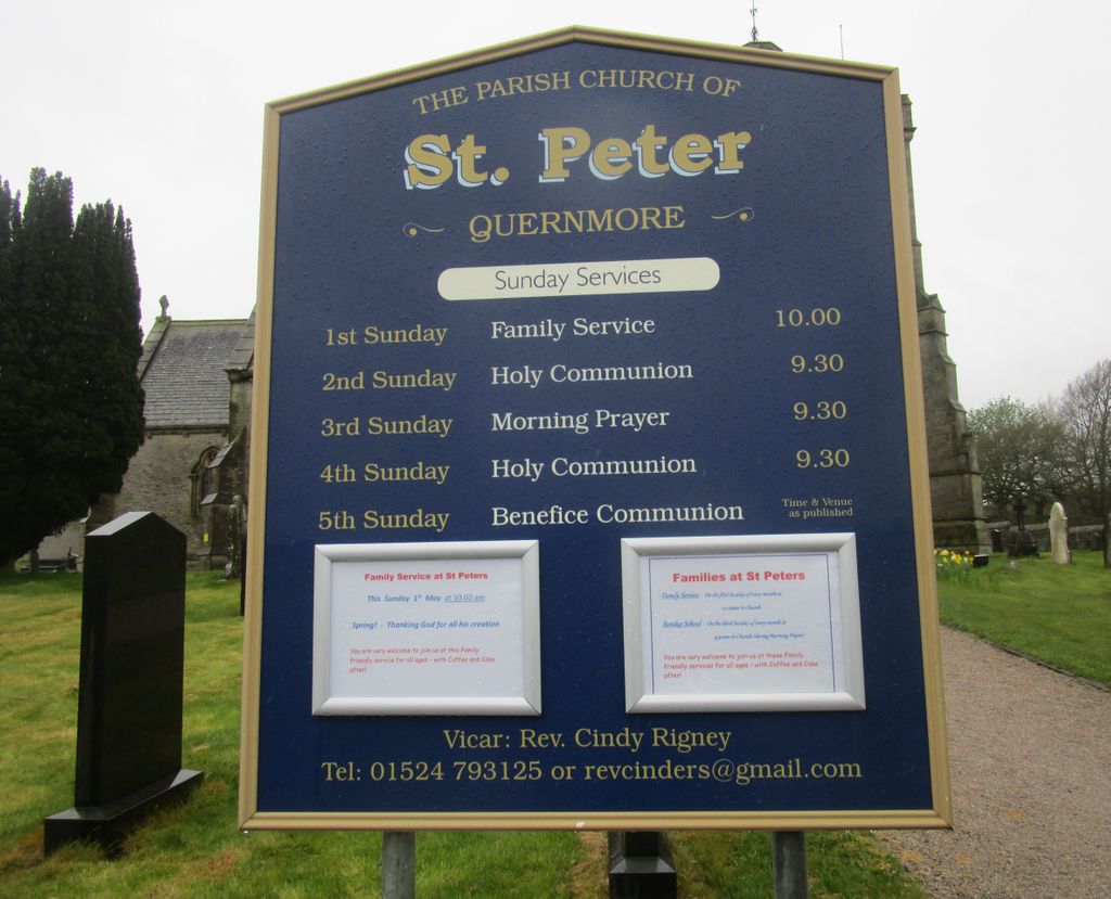
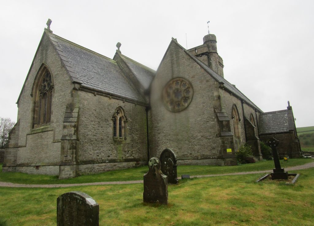
| Memorials | : | 50 |
| Location | : | Quernmore, City of Lancaster, England |
| Coordinate | : | 54.0367200, -2.7375400 |
frequently asked questions (FAQ):
-
Where is St Peter's Churchyard?
St Peter's Churchyard is located at Quernmore, City of Lancaster ,Lancashire ,England.
-
St Peter's Churchyard cemetery's updated grave count on graveviews.com?
50 memorials
-
Where are the coordinates of the St Peter's Churchyard?
Latitude: 54.0367200
Longitude: -2.7375400
Nearby Cemetories:
1. Quernmore Methodist Churchyard
Quernmore, City of Lancaster, England
Coordinate: 54.0259440, -2.7361400
2. Lancaster Cemetery
Lancaster, City of Lancaster, England
Coordinate: 54.0504210, -2.7768760
3. Cathedral Cemetery of Lancaster
Lancaster, City of Lancaster, England
Coordinate: 54.0471170, -2.7942920
4. St. Nicholas Street Chapel Churchyard
Lancaster, City of Lancaster, England
Coordinate: 54.0486900, -2.7987900
5. Scotforth Cemetery
Scotforth, City of Lancaster, England
Coordinate: 54.0282250, -2.8007170
6. St. John the Evangelist Churchyard
Lancaster, City of Lancaster, England
Coordinate: 54.0504000, -2.7990000
7. Mount Street Congregational Chapel
Lancaster, City of Lancaster, England
Coordinate: 54.0468260, -2.8027430
8. Saint Luke's Parish Churchyard
Skerton, City of Lancaster, England
Coordinate: 54.0564700, -2.7982600
9. Lancaster Castle Cemetery
Lancaster, City of Lancaster, England
Coordinate: 54.0494330, -2.8047890
10. Friends Meeting House Burial Ground
Lancaster, City of Lancaster, England
Coordinate: 54.0482500, -2.8058025
11. Lancaster Priory
Lancaster, City of Lancaster, England
Coordinate: 54.0507360, -2.8057850
12. St Wilfrid's Churchyard
Halton, City of Lancaster, England
Coordinate: 54.0759400, -2.7672600
13. Skerton Cemetery
Lancaster, City of Lancaster, England
Coordinate: 54.0651430, -2.7951140
14. St. Paul Churchyard
Caton, City of Lancaster, England
Coordinate: 54.0757840, -2.7009980
15. St John’s Church Graveyard
Ellel, City of Lancaster, England
Coordinate: 53.9990010, -2.7846660
16. Quaker Burial Ground
Abbeystead, City of Lancaster, England
Coordinate: 53.9910820, -2.6912370
17. Lancaster and Morecambe Crematorium
Lancaster, City of Lancaster, England
Coordinate: 54.0650890, -2.8198420
18. Christ Church Churchyard
Over Wyresdale, City of Lancaster, England
Coordinate: 53.9839250, -2.6861150
19. Slyne Cemetery
Slyne, City of Lancaster, England
Coordinate: 54.0868185, -2.7969423
20. St Mark Churchyard
Dolphinholme, City of Lancaster, England
Coordinate: 53.9738730, -2.7378420
21. Torrisholme Cemetery
Morecambe, City of Lancaster, England
Coordinate: 54.0638980, -2.8409800
22. St. Mary's Chapel Ellel Grange
Ellel, City of Lancaster, England
Coordinate: 53.9756944, -2.7918522
23. St. Chad's Churchyard
Claughton, City of Lancaster, England
Coordinate: 54.0931310, -2.6643990
24. Nether Kellet Congregational Church
Nether Kellet, City of Lancaster, England
Coordinate: 54.1070772, -2.7587630