
| Memorials | : | 26 |
| Location | : | Hensall, Selby District, England |
| Coordinate | : | 53.6967500, -1.1185900 |
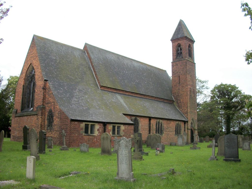
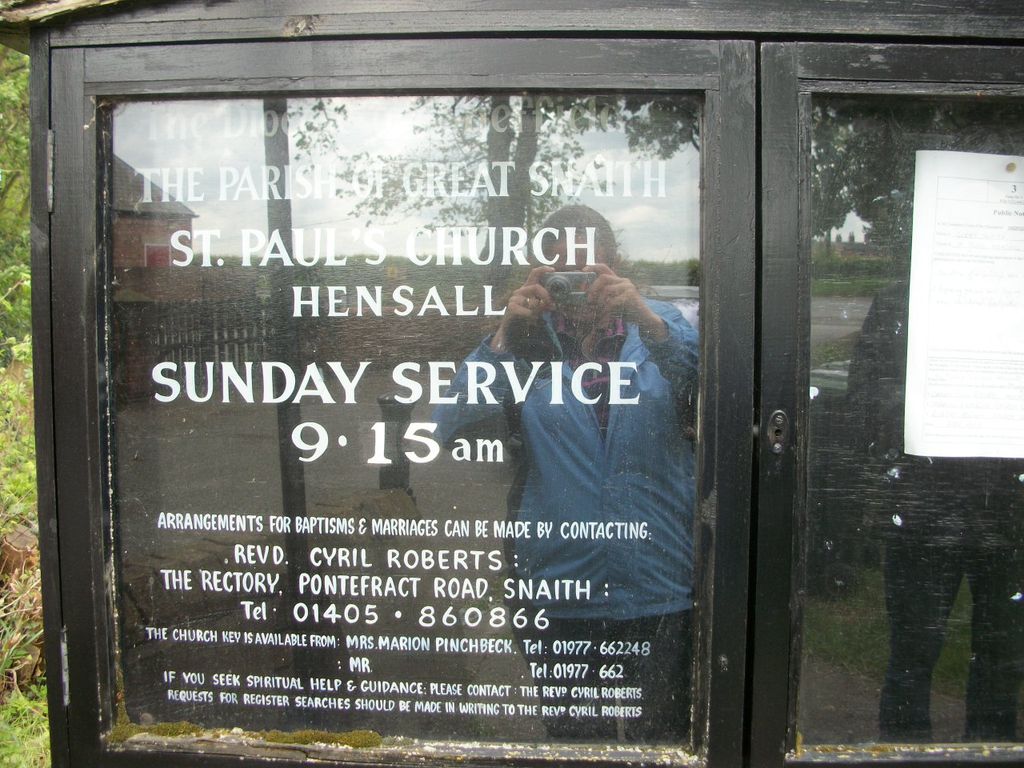
| Description | : | St Paul Churchyard has an 'open' graveyard and is the only place of burial in the parish of Hensall cum Heck and High Eggborough. |
frequently asked questions (FAQ):
-
Where is St Paul Churchyard?
St Paul Churchyard is located at Church Lane Hensall, Selby District ,North Yorkshire , DN14 0QQEngland.
-
St Paul Churchyard cemetery's updated grave count on graveviews.com?
26 memorials
-
Where are the coordinates of the St Paul Churchyard?
Latitude: 53.6967500
Longitude: -1.1185900
Nearby Cemetories:
1. St John The Baptist Churchyard
Chapel Haddlesey, Selby District, England
Coordinate: 53.7279200, -1.1185700
2. St. Edmund's Churchyard
Kellington, Selby District, England
Coordinate: 53.7142600, -1.1710500
3. Womersley Cemetery
Womersley, Selby District, England
Coordinate: 53.6655100, -1.1967300
4. St Martin Churchyard
Womersley, Selby District, England
Coordinate: 53.6646000, -1.1959000
5. St Mary Churchyard
Birkin, Selby District, England
Coordinate: 53.7325000, -1.1979000
6. St Mary Churchyard
Carlton, Selby District, England
Coordinate: 53.7088060, -1.0209800
7. St Mary Roman Catholic Church
Carlton, Selby District, England
Coordinate: 53.7111900, -1.0199300
8. Carlton Cemetery
Carlton, Selby District, England
Coordinate: 53.7129500, -1.0199200
9. Holy Trinity Churchyard
Sykehouse, Metropolitan Borough of Doncaster, England
Coordinate: 53.6449289, -1.0492909
10. St. John's Churchyard
Fenwick, Metropolitan Borough of Doncaster, England
Coordinate: 53.6284191, -1.1091576
11. Knottingley Cemetery
Knottingley, Metropolitan Borough of Wakefield, England
Coordinate: 53.7018600, -1.2363390
12. Holy Trinity Churchyard
East Cowick, East Riding of Yorkshire Unitary Authority, England
Coordinate: 53.6866220, -1.0000200
13. United Reformed Churchyard
Knottingley, Metropolitan Borough of Wakefield, England
Coordinate: 53.7104820, -1.2397270
14. Ropewalk Methodist Church Burial Ground
Knottingley, Metropolitan Borough of Wakefield, England
Coordinate: 53.7092850, -1.2408320
15. St. Botolph Churchyard
Knottingley, Metropolitan Borough of Wakefield, England
Coordinate: 53.7108080, -1.2441680
16. St. Wilfrid's Parish Churchyard
Brayton, Selby District, England
Coordinate: 53.7718060, -1.0849010
17. St Peter Churchyard
Kirk Smeaton, Selby District, England
Coordinate: 53.6436580, -1.2148560
18. Hambleton Cemetery
Hambleton, Selby District, England
Coordinate: 53.7715910, -1.1624600
19. St Mary Churchyard
Hambleton, Selby District, England
Coordinate: 53.7715910, -1.1624600
20. Campsall Old Cemetery
Campsall, Metropolitan Borough of Doncaster, England
Coordinate: 53.6241000, -1.1801000
21. Campsall New Cemetery
Campsall, Metropolitan Borough of Doncaster, England
Coordinate: 53.6239500, -1.1804250
22. St. Peter's Churchyard
Askern, Metropolitan Borough of Doncaster, England
Coordinate: 53.6169240, -1.1524250
23. Askern Cemetery
Askern, Metropolitan Borough of Doncaster, England
Coordinate: 53.6187830, -1.1637670
24. Drax Cemetery
Drax, Selby District, England
Coordinate: 53.7272540, -0.9875330