
| Memorials | : | 406 |
| Location | : | Chapel Haddlesey, Selby District, England |
| Coordinate | : | 53.7279200, -1.1185700 |
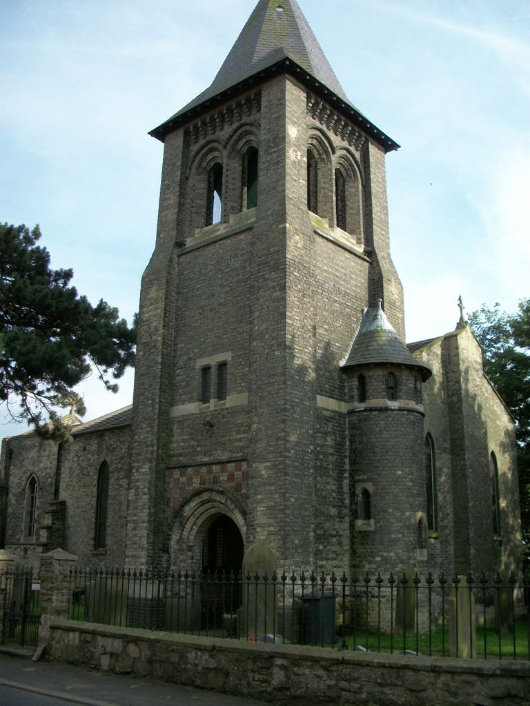
| Description | : | St John the Baptist Chapel covers both Chapel Haddlesey and Temple Hirst in the Diocese of York |
frequently asked questions (FAQ):
-
Where is St John The Baptist Churchyard?
St John The Baptist Churchyard is located at Hirst Road Chapel Haddlesey, Selby District ,North Yorkshire , YO8 8QNEngland.
-
St John The Baptist Churchyard cemetery's updated grave count on graveviews.com?
406 memorials
-
Where are the coordinates of the St John The Baptist Churchyard?
Latitude: 53.7279200
Longitude: -1.1185700
Nearby Cemetories:
1. St Paul Churchyard
Hensall, Selby District, England
Coordinate: 53.6967500, -1.1185900
2. St. Edmund's Churchyard
Kellington, Selby District, England
Coordinate: 53.7142600, -1.1710500
3. St Mary Churchyard
Birkin, Selby District, England
Coordinate: 53.7325000, -1.1979000
4. St. Wilfrid's Parish Churchyard
Brayton, Selby District, England
Coordinate: 53.7718060, -1.0849010
5. Hambleton Cemetery
Hambleton, Selby District, England
Coordinate: 53.7715910, -1.1624600
6. St Mary Churchyard
Hambleton, Selby District, England
Coordinate: 53.7715910, -1.1624600
7. Selby Cemetery
Selby, Selby District, England
Coordinate: 53.7766610, -1.0775960
8. Carlton Cemetery
Carlton, Selby District, England
Coordinate: 53.7129500, -1.0199200
9. St Mary Roman Catholic Church
Carlton, Selby District, England
Coordinate: 53.7111900, -1.0199300
10. St Mary Churchyard
Carlton, Selby District, England
Coordinate: 53.7088060, -1.0209800
11. Selby Abbey
Selby, Selby District, England
Coordinate: 53.7840990, -1.0670270
12. Monk Fryston Cemetery
Monk Fryston, Selby District, England
Coordinate: 53.7604400, -1.2291700
13. United Reformed Churchyard
Knottingley, Metropolitan Borough of Wakefield, England
Coordinate: 53.7104820, -1.2397270
14. Knottingley Cemetery
Knottingley, Metropolitan Borough of Wakefield, England
Coordinate: 53.7018600, -1.2363390
15. Ropewalk Methodist Church Burial Ground
Knottingley, Metropolitan Borough of Wakefield, England
Coordinate: 53.7092850, -1.2408320
16. St. Botolph Churchyard
Knottingley, Metropolitan Borough of Wakefield, England
Coordinate: 53.7108080, -1.2441680
17. St Wilfrid’s Churchyard
Monk Fryston, Selby District, England
Coordinate: 53.7618300, -1.2349700
18. Drax Cemetery
Drax, Selby District, England
Coordinate: 53.7272540, -0.9875330
19. Womersley Cemetery
Womersley, Selby District, England
Coordinate: 53.6655100, -1.1967300
20. St Martin Churchyard
Womersley, Selby District, England
Coordinate: 53.6646000, -1.1959000
21. Holy Trinity Churchyard
East Cowick, East Riding of Yorkshire Unitary Authority, England
Coordinate: 53.6866220, -1.0000200
22. St Peter and St Paul Churchyard
Drax, Selby District, England
Coordinate: 53.7293790, -0.9771560
23. Friends Burial Ground
Drax, Selby District, England
Coordinate: 53.7291640, -0.9771490
24. All Saints Churchyard
Barlby, Selby District, England
Coordinate: 53.7987840, -1.0415840