
| Memorials | : | 9 |
| Location | : | Highmoor, South Oxfordshire District, England |
| Coordinate | : | 51.5532740, -0.9910110 |
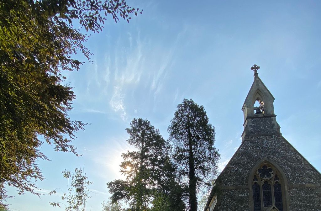
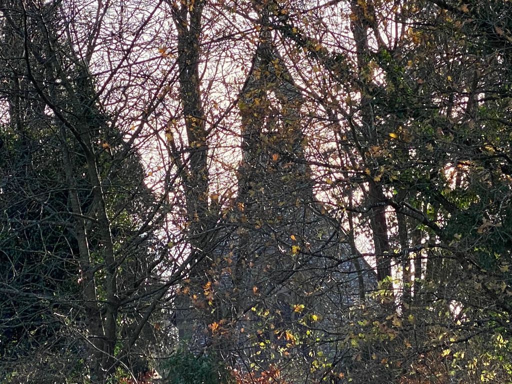
| Description | : | HIGHMOOR - Now Redundant 1209/0/10025 HIGHMOOR CROSS 06-APR-06 St Paul's Church II Parish church, built as chapel of ease 1859. Designed by Joseph Morris of Reading; built by Robert Owthwaite of Henley-on-Thames. Nave, chancel, single-storey vestry to south. MATERIALS: Knapped flint with ashlar detailing (banding, quoins, windows, doorways), red tile roof EXTERIOR: Nave with bellcote to west end. Trefoil cusp-headed two-light windows and buttresses to sides; three-light window to west end with centrally placed porch with generous doorway. Lower chancel with single-light side and east windows. Lower still single-storey vestry to south of chancel with tall stone chimney on south gable.... Read More |
frequently asked questions (FAQ):
-
Where is St. Pauls Highmoor Cross?
St. Pauls Highmoor Cross is located at B481 Highmoor, South Oxfordshire District ,Oxfordshire , RG9 5DTEngland.
-
St. Pauls Highmoor Cross cemetery's updated grave count on graveviews.com?
8 memorials
-
Where are the coordinates of the St. Pauls Highmoor Cross?
Latitude: 51.5532740
Longitude: -0.9910110
Nearby Cemetories:
1. St. John the Evangalist Churchyard
Stoke Row, South Oxfordshire District, England
Coordinate: 51.5510570, -1.0226630
2. Stoke Row Independant Chapel
Stoke Row, South Oxfordshire District, England
Coordinate: 51.5510570, -1.0226630
3. Stoke Row Independent Chapel Cemetery
Stoke Row, South Oxfordshire District, England
Coordinate: 51.5510570, -1.0226630
4. St. Bartholomew's Churchyard
Nettlebed, South Oxfordshire District, England
Coordinate: 51.5752360, -0.9936230
5. St. James's Churchyard
Bix and Assendon, South Oxfordshire District, England
Coordinate: 51.5610070, -0.9511270
6. All Saints Churchyard
Rotherfield Peppard, South Oxfordshire District, England
Coordinate: 51.5280531, -0.9725009
7. St. Nicholas' Churchyard
Rotherfield Greys, South Oxfordshire District, England
Coordinate: 51.5351017, -0.9541395
8. St. James' Old Churchyard
South Oxfordshire District, England
Coordinate: 51.5769360, -0.9532550
9. Checkendon Churchyard
Checkendon, South Oxfordshire District, England
Coordinate: 51.5424461, -1.0449720
10. Henley-on-Thames Cemetery
Henley-on-Thames, South Oxfordshire District, England
Coordinate: 51.5543570, -0.9271320
11. Holy Trinity Churchyard
Nuffield, South Oxfordshire District, England
Coordinate: 51.5810040, -1.0378960
12. St. John the Baptist Churchyard
Kidmore End, South Oxfordshire District, England
Coordinate: 51.5085170, -0.9951240
13. Kidmore End Cemetery
Kidmore End, South Oxfordshire District, England
Coordinate: 51.5071600, -0.9942160
14. St. Mary the Virgin Churchyard
Fawley, Wycombe District, England
Coordinate: 51.5743000, -0.9140000
15. St. Leonard's Churchyard
Woodcote, South Oxfordshire District, England
Coordinate: 51.5348117, -1.0731299
16. Pishill Parish Church Cemetery
Pishill, South Oxfordshire District, England
Coordinate: 51.6027550, -0.9527530
17. St. Botolph Old Cemetery
Swyncombe, South Oxfordshire District, England
Coordinate: 51.6065347, -1.0157358
18. St. Botolph's New Graveyard
Swyncombe, South Oxfordshire District, England
Coordinate: 51.6064829, -1.0167999
19. Holy Trinity Churchyard
Henley-on-Thames, South Oxfordshire District, England
Coordinate: 51.5338500, -0.9066600
20. Christ Church
Henley-on-Thames, South Oxfordshire District, England
Coordinate: 51.5347880, -0.9032820
21. St. Mary the Virgin Churchyard
Henley-on-Thames, South Oxfordshire District, England
Coordinate: 51.5377790, -0.9017520
22. Stonor Park Cemetery
Henley-on-Thames, South Oxfordshire District, England
Coordinate: 51.5967370, -0.9289660
23. Saint Bartholomew Chapelyard
Goring Heath, South Oxfordshire District, England
Coordinate: 51.5102184, -1.0545583
24. St. Mary the Virgin Cemetery
Ipsden, South Oxfordshire District, England
Coordinate: 51.5674164, -1.0866686