
| Memorials | : | 197 |
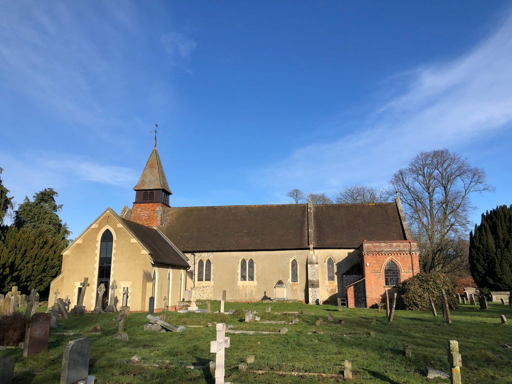
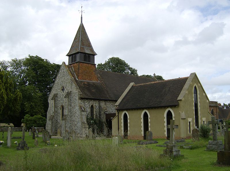
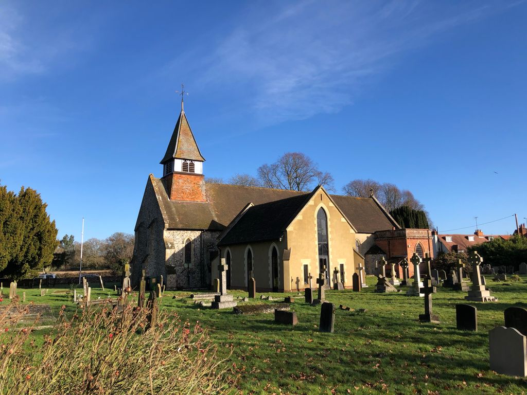
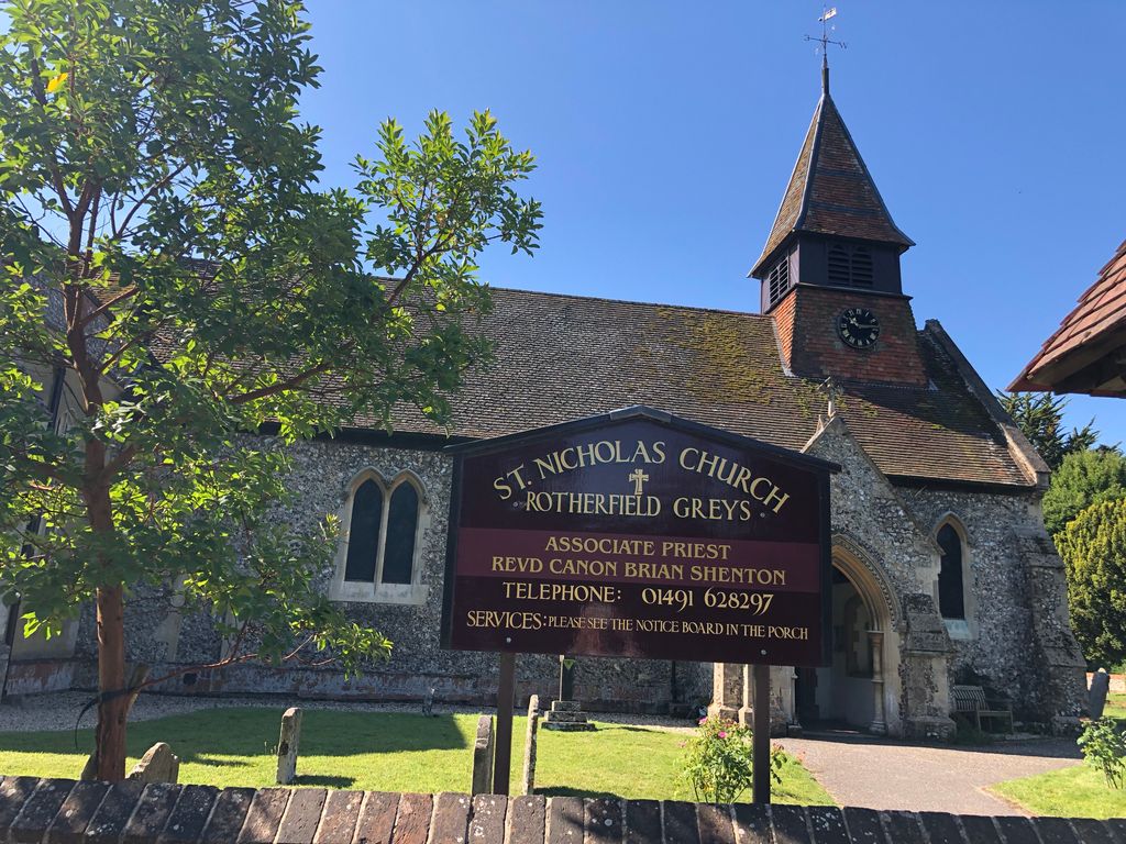
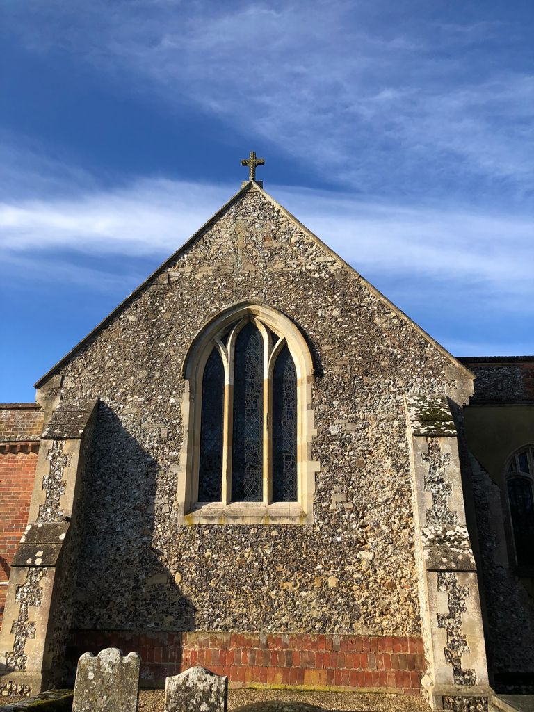
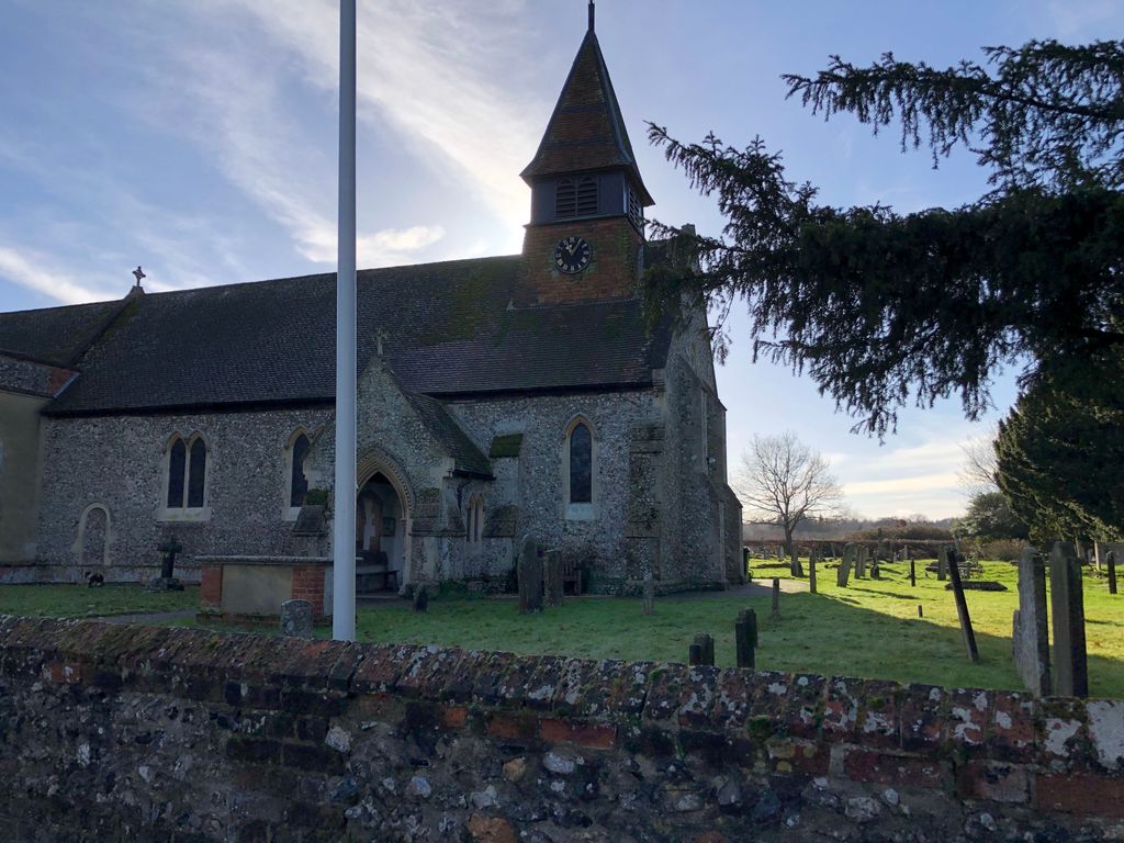
| Location | : | Rotherfield Greys, South Oxfordshire District, England |
| Coordinate | : | 51.5351017, -0.9541395 |
frequently asked questions (FAQ):
-
Where is St. Nicholas' Churchyard?
St. Nicholas' Churchyard is located at Rotherfield Greys, South Oxfordshire District ,Oxfordshire ,England.
-
St. Nicholas' Churchyard cemetery's updated grave count on graveviews.com?
194 memorials
-
Where are the coordinates of the St. Nicholas' Churchyard?
Latitude: 51.5351017
Longitude: -0.9541395
Nearby Cemetories:
1. All Saints Churchyard
Rotherfield Peppard, South Oxfordshire District, England
Coordinate: 51.5280531, -0.9725009
2. Henley-on-Thames Cemetery
Henley-on-Thames, South Oxfordshire District, England
Coordinate: 51.5543570, -0.9271320
3. St. James's Churchyard
Bix and Assendon, South Oxfordshire District, England
Coordinate: 51.5610070, -0.9511270
4. St. Pauls Highmoor Cross
Highmoor, South Oxfordshire District, England
Coordinate: 51.5532740, -0.9910110
5. Holy Trinity Churchyard
Henley-on-Thames, South Oxfordshire District, England
Coordinate: 51.5338500, -0.9066600
6. Christ Church
Henley-on-Thames, South Oxfordshire District, England
Coordinate: 51.5347880, -0.9032820
7. St. Mary the Virgin Churchyard
Henley-on-Thames, South Oxfordshire District, England
Coordinate: 51.5377790, -0.9017520
8. St Margaret's Churchyard
Harpsden, South Oxfordshire District, England
Coordinate: 51.5219160, -0.9012270
9. St. John the Baptist Churchyard
Kidmore End, South Oxfordshire District, England
Coordinate: 51.5085170, -0.9951240
10. Kidmore End Cemetery
Kidmore End, South Oxfordshire District, England
Coordinate: 51.5071600, -0.9942160
11. St. James' Old Churchyard
South Oxfordshire District, England
Coordinate: 51.5769360, -0.9532550
12. All Saints Churchyard
Dunsden Green, South Oxfordshire District, England
Coordinate: 51.4917730, -0.9461650
13. St. John the Evangalist Churchyard
Stoke Row, South Oxfordshire District, England
Coordinate: 51.5510570, -1.0226630
14. Stoke Row Independant Chapel
Stoke Row, South Oxfordshire District, England
Coordinate: 51.5510570, -1.0226630
15. Stoke Row Independent Chapel Cemetery
Stoke Row, South Oxfordshire District, England
Coordinate: 51.5510570, -1.0226630
16. St. Mary the Virgin Churchyard
Fawley, Wycombe District, England
Coordinate: 51.5743000, -0.9140000
17. St. Bartholomew's Churchyard
Nettlebed, South Oxfordshire District, England
Coordinate: 51.5752360, -0.9936230
18. St. Peter and St. Paul Churchyard
Shiplake, South Oxfordshire District, England
Coordinate: 51.4980750, -0.8963940
19. Checkendon Churchyard
Checkendon, South Oxfordshire District, England
Coordinate: 51.5424461, -1.0449720
20. St. Mary's Churchyard
Wargrave, Wokingham Borough, England
Coordinate: 51.4998329, -0.8735808
21. Reading Cemetery and Crematorium
Caversham, Reading Borough, England
Coordinate: 51.4737690, -0.9546570
22. Caversham Cemetery
Caversham, Reading Borough, England
Coordinate: 51.4745850, -0.9758020
23. Stonor Park Cemetery
Henley-on-Thames, South Oxfordshire District, England
Coordinate: 51.5967370, -0.9289660
24. St. Andrew's Churchyard
Sonning, Wokingham Borough, England
Coordinate: 51.4740300, -0.9131640