
| Memorials | : | 0 |
| Location | : | Pertenhall, Bedford Borough, England |
| Website | : | stoddenchurches.com |
| Coordinate | : | 52.2762000, -0.4123000 |
frequently asked questions (FAQ):
-
Where is St. Peter's Churchyard?
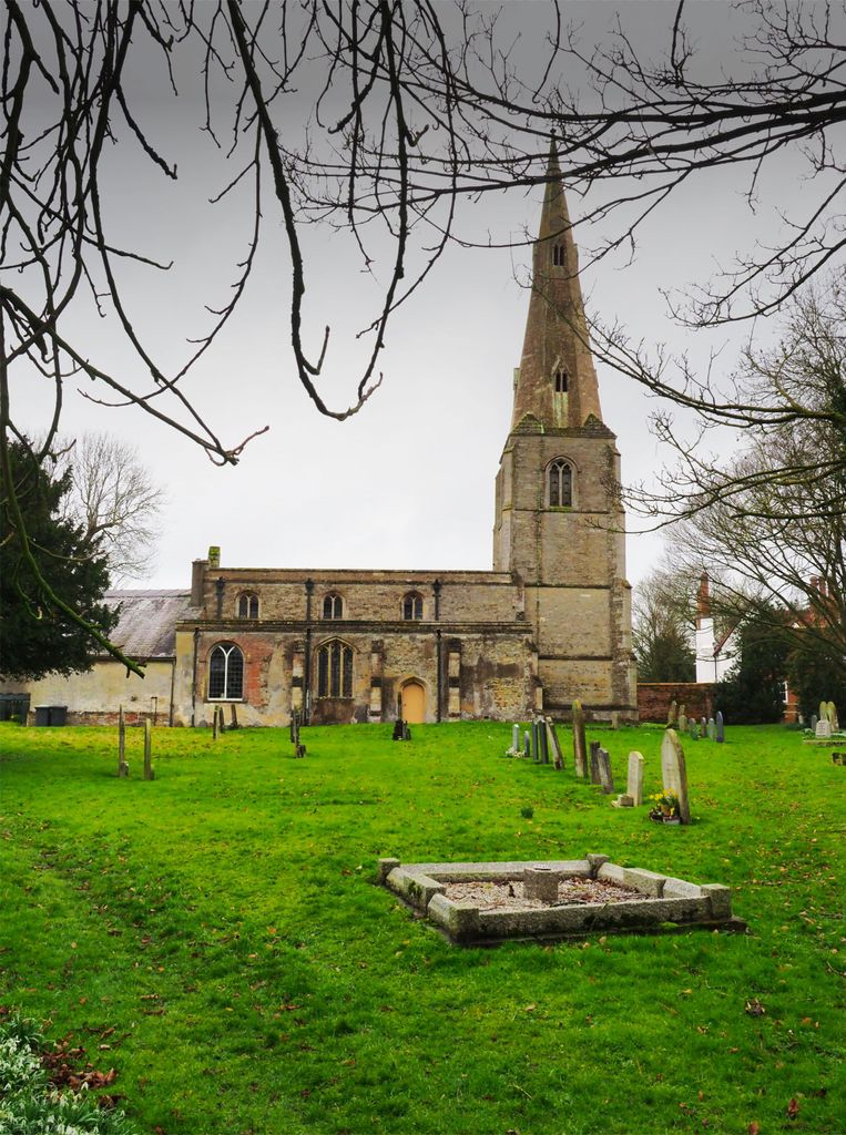
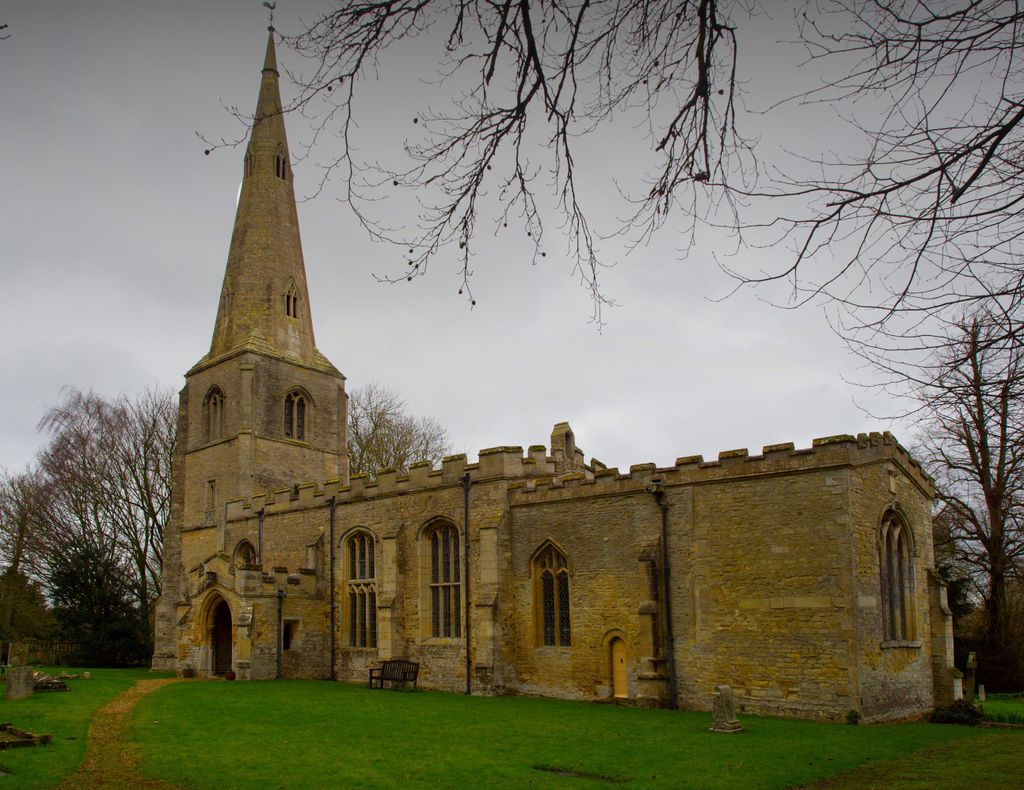
St. Peter's Churchyard is located at Pertenhall, Bedford Borough ,Bedfordshire , MK44 2SPEngland.
-
St. Peter's Churchyard cemetery's updated grave count on graveviews.com?
0 memorials
-
Where are the coordinates of the St. Peter's Churchyard?
Latitude: 52.2762000
Longitude: -0.4123000
Nearby Cemetories:
1. Brook End Baptist Chapel Chapelyard
Bedford Borough, England
Coordinate: 52.2553182, -0.4280018
2. St. Nicholas Churchyard
Swineshead, Bedford Borough, England
Coordinate: 52.2805558, -0.4506214
3. St Andrew Churchyard
Kimbolton, Huntingdonshire District, England
Coordinate: 52.2978950, -0.3895660
4. All Saints Churchyard
Little Staughton, Bedford Borough, England
Coordinate: 52.2539810, -0.3792070
5. All Saints Churchyard
Tilbrook, Huntingdonshire District, England
Coordinate: 52.3105220, -0.4164860
6. St. Andrew's Church Cemetery
Great Staughton, Huntingdonshire District, England
Coordinate: 52.2677700, -0.3573400
7. Old Cemetery
Great Staughton, Huntingdonshire District, England
Coordinate: 52.2694189, -0.3546817
8. St. Albans Woodland Burial Ground
Keysoe, Bedford Borough, England
Coordinate: 52.2411411, -0.4253732
9. The Little Staughton cemetery burial ground
Little Staughton, Bedford Borough, England
Coordinate: 52.2450015, -0.3776441
10. St Andrew Churchyard
Great Staughton, Huntingdonshire District, England
Coordinate: 52.2691765, -0.3504967
11. All Saints Churchyard
Upper Dean, Bedford Borough, England
Coordinate: 52.2969000, -0.4664000
12. Dean URC Cemetery
Upper Dean, Bedford Borough, England
Coordinate: 52.2999756, -0.4634887
13. All Saints Churchyard
Riseley, Bedford Borough, England
Coordinate: 52.2560000, -0.4785000
14. St. Mary Magdalene Churchyard
Melchbourne, Bedford Borough, England
Coordinate: 52.2770600, -0.4935690
15. Bushmead Priory
Bushmead, Bedford Borough, England
Coordinate: 52.2336110, -0.3675000
16. Covington Parish Church
Covington, Huntingdonshire District, England
Coordinate: 52.3238459, -0.4505520
17. St Mary the Virgin Churchyard
Shelton, Bedford Borough, England
Coordinate: 52.3076000, -0.4852000
18. St. Botolph Churchyard
Stow Longa, Huntingdonshire District, England
Coordinate: 52.3269300, -0.3766400
19. St. Dunstan's Churchyard
Bolnhurst, Bedford Borough, England
Coordinate: 52.2158480, -0.4196000
20. All Hallow's Church Hargrave Churchyard
Hargrave, East Northamptonshire Borough, England
Coordinate: 52.3242316, -0.4800580
21. St. Denys Churchyard
Colmworth, Bedford Borough, England
Coordinate: 52.2143200, -0.3785620
22. St. Mary the Virgin Churchyard
Yelden, Bedford Borough, England
Coordinate: 52.2930600, -0.5182700
23. St. Peter's Churchyard
Thurleigh, Bedford Borough, England
Coordinate: 52.2146800, -0.4578350
24. St. Leonard’s Churchyard
Catworth, Huntingdonshire District, England
Coordinate: 52.3475718, -0.4029185