
| Memorials | : | 0 |
| Location | : | Great Staughton, Huntingdonshire District, England |
| Coordinate | : | 52.2677700, -0.3573400 |
| Description | : | Great Staughton is a village and civil parish in Cambridgeshire, England situated approximately 8 miles south-west of Huntingdon, in Huntingdonshire which is anon-metropolitan district of Cambridgeshire as well as being a historic county of England. |
frequently asked questions (FAQ):
-
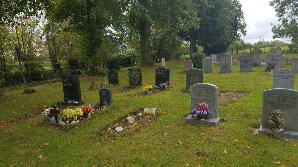
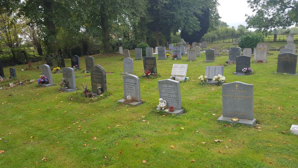
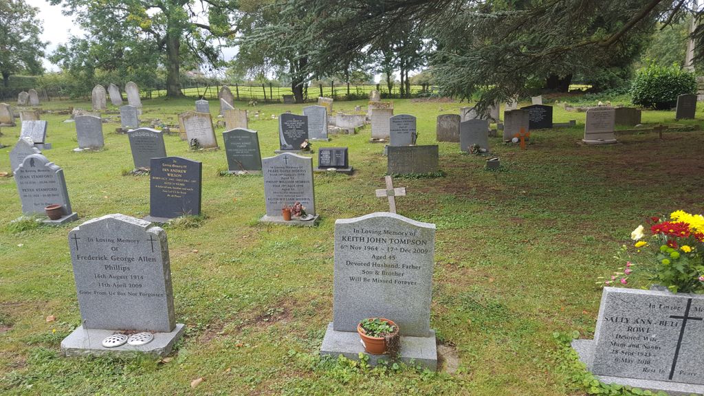
Where is St. Andrew's Church Cemetery?
St. Andrew's Church Cemetery is located at Great Staughton, Huntingdonshire District ,Cambridgeshire ,England.
-
St. Andrew's Church Cemetery cemetery's updated grave count on graveviews.com?
0 memorials
-
Where are the coordinates of the St. Andrew's Church Cemetery?
Latitude: 52.2677700
Longitude: -0.3573400

Nearby Cemetories:
1. Old Cemetery
Great Staughton, Huntingdonshire District, England
Coordinate: 52.2694189, -0.3546817
2. St Andrew Churchyard
Great Staughton, Huntingdonshire District, England
Coordinate: 52.2691765, -0.3504967
3. All Saints Churchyard
Little Staughton, Bedford Borough, England
Coordinate: 52.2539810, -0.3792070
4. The Little Staughton cemetery burial ground
Little Staughton, Bedford Borough, England
Coordinate: 52.2450015, -0.3776441
5. St. Peter's Churchyard
Pertenhall, Bedford Borough, England
Coordinate: 52.2762000, -0.4123000
6. Bushmead Priory
Bushmead, Bedford Borough, England
Coordinate: 52.2336110, -0.3675000
7. St Andrew Churchyard
Kimbolton, Huntingdonshire District, England
Coordinate: 52.2978950, -0.3895660
8. St Nicholas Churchyard
Hail Weston, Huntingdonshire District, England
Coordinate: 52.2447100, -0.2945500
9. Brook End Baptist Chapel Chapelyard
Bedford Borough, England
Coordinate: 52.2553182, -0.4280018
10. St. Albans Woodland Burial Ground
Keysoe, Bedford Borough, England
Coordinate: 52.2411411, -0.4253732
11. Little Paxton Cemetery
Little Paxton, Huntingdonshire District, England
Coordinate: 52.2548800, -0.2764600
12. St Leonard Churchyard
Southoe, Huntingdonshire District, England
Coordinate: 52.2654070, -0.2679460
13. St. Denys Churchyard
Colmworth, Bedford Borough, England
Coordinate: 52.2143200, -0.3785620
14. All Saints Churchyard
Tilbrook, Huntingdonshire District, England
Coordinate: 52.3105220, -0.4164860
15. St. Nicholas Churchyard
Swineshead, Bedford Borough, England
Coordinate: 52.2805558, -0.4506214
16. St. Botolph Churchyard
Stow Longa, Huntingdonshire District, England
Coordinate: 52.3269300, -0.3766400
17. St. Lawrence's Churchyard
Diddington, Huntingdonshire District, England
Coordinate: 52.2784800, -0.2578000
18. St. Dunstan's Churchyard
Bolnhurst, Bedford Borough, England
Coordinate: 52.2158480, -0.4196000
19. St. Neots Priory
St Neots, Huntingdonshire District, England
Coordinate: 52.2281710, -0.2705280
20. New Street Baptist Church St Neots
St Neots, Huntingdonshire District, England
Coordinate: 52.2290700, -0.2686400
21. St Mary Churchyard
Eaton Socon, Huntingdonshire District, England
Coordinate: 52.2156190, -0.2882830
22. Lucks Lane Cemetery
Buckden, Huntingdonshire District, England
Coordinate: 52.2910048, -0.2530740
23. Eynesbury Old Cemetery
Huntingdonshire District, England
Coordinate: 52.2243800, -0.2705300
24. Parish Church of St. Mary the Virgin
St Neots, Huntingdonshire District, England
Coordinate: 52.2268700, -0.2671700