| Memorials | : | 44 |
| Location | : | Lowick, East Northamptonshire Borough, England |
| Coordinate | : | 52.4116300, -0.5570600 |
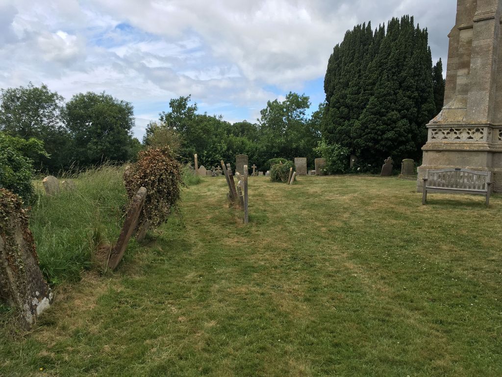
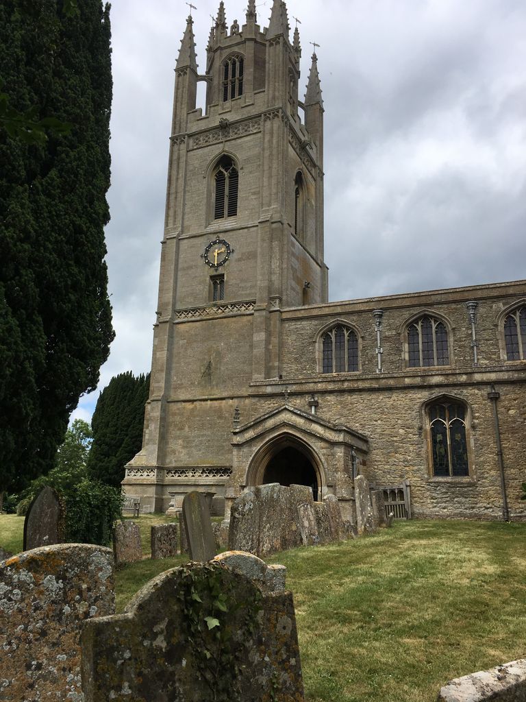
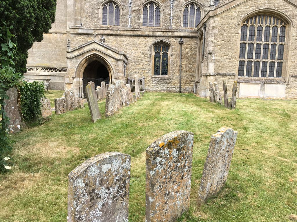
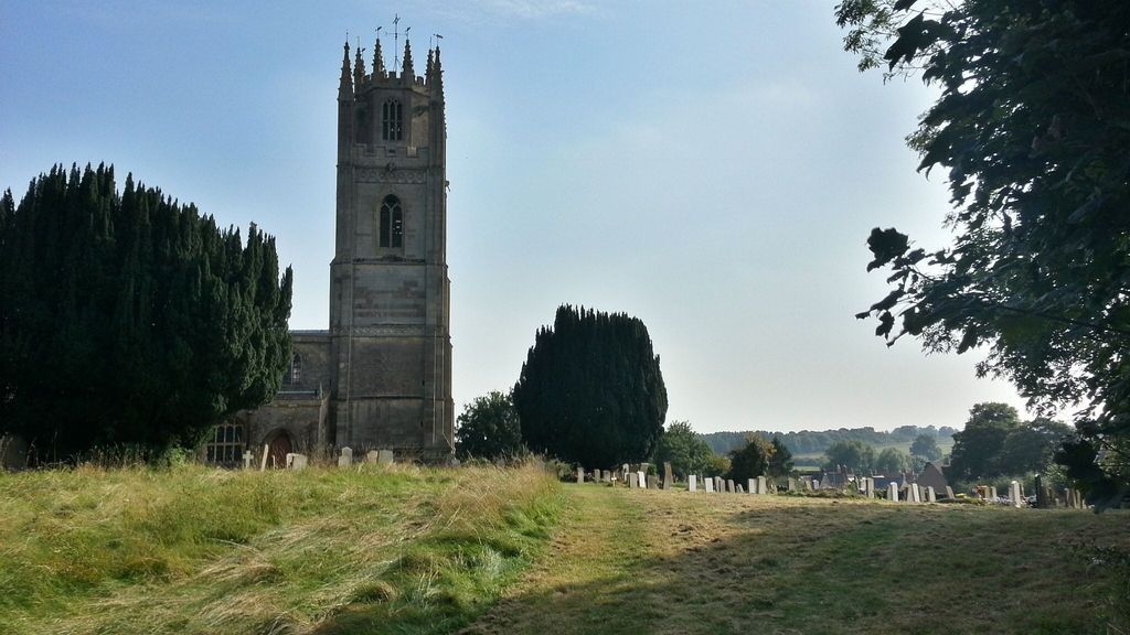
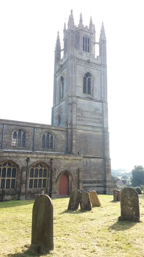
| Description | : | St. Peter's Church, Lowick, is a parish church in the Church of England in Lowick, Northamptonshire, England. the church has early fourteenth century origins, it is mainly late fourteenth and early fifteenth century, being built for the Greene family of Drayton House. A large heraldic shield dominates the nave, and the chancel bears the arms of the Greene family, and also that of John Heton, rector from 1406 to 1415. The gravestones in the churchyard are mostly of the 18th and 19th centuries. A decorative coffin lid that dates from the 15th century survives by the wall of the South Chapel. At... Read More |
frequently asked questions (FAQ):
-
Where is St. Peter's Churchyard?
St. Peter's Churchyard is located at Lowick, East Northamptonshire Borough ,Northamptonshire ,England.
-
St. Peter's Churchyard cemetery's updated grave count on graveviews.com?
44 memorials
-
Where are the coordinates of the St. Peter's Churchyard?
Latitude: 52.4116300
Longitude: -0.5570600
Nearby Cemetories:
1. St. Nicholas Churchyard
Islip, East Northamptonshire Borough, England
Coordinate: 52.3991300, -0.5513600
2. Thrapston Cemetery
Thrapston, East Northamptonshire Borough, England
Coordinate: 52.4000170, -0.5292640
3. All Saints Church
Sudborough, East Northamptonshire Borough, England
Coordinate: 52.4283980, -0.5782500
4. Aldwincle St Peters Churchyard
Aldwincle, East Northamptonshire Borough, England
Coordinate: 52.4255060, -0.5217460
5. All Saints Churchyard
Aldwincle, East Northamptonshire Borough, England
Coordinate: 52.4222080, -0.5142150
6. St. Nicholas' Churchyard
Twywell, East Northamptonshire Borough, England
Coordinate: 52.3936001, -0.6024166
7. Holy Trinity Church
Denford, East Northamptonshire Borough, England
Coordinate: 52.3787353, -0.5450568
8. St. Mary's Churchyard
Titchmarsh, East Northamptonshire Borough, England
Coordinate: 52.4076080, -0.4998860
9. St. Michael and All Angels Churchyard
Wadenhoe, East Northamptonshire Borough, England
Coordinate: 52.4382400, -0.5176200
10. Station Street Cemetery
Ringstead, East Northamptonshire Borough, England
Coordinate: 52.3654427, -0.5538628
11. Nativity of the Blessed Virgin Mary Churchyard
Ringstead, East Northamptonshire Borough, England
Coordinate: 52.3652660, -0.5533620
12. Station Road Cemetery
Ringsted Kommune, Denmark
Coordinate: 52.3638126, -0.5592430
13. All Saints Churchyard
Great Addington, East Northamptonshire Borough, England
Coordinate: 52.3657660, -0.5937010
14. Brigstock Parish Cemetery
Brigstock, East Northamptonshire Borough, England
Coordinate: 52.4552481, -0.6061781
15. St. James the Apostle Churchyard
Grafton Underwood, Kettering Borough, England
Coordinate: 52.4108323, -0.6449725
16. St. John's Churchyard
Cranford St John, Kettering Borough, England
Coordinate: 52.3840560, -0.6391670
17. St. Andrew's Churchyard
Cranford, Kettering Borough, England
Coordinate: 52.3856700, -0.6438700
18. Raunds Cemetery
Raunds, East Northamptonshire Borough, England
Coordinate: 52.3494100, -0.5467400
19. All Saints Chancel
Barnwell, East Northamptonshire Borough, England
Coordinate: 52.4482400, -0.4594600
20. St. Rumbold Churchyard
Stoke Doyle, East Northamptonshire Borough, England
Coordinate: 52.4678253, -0.4880529
21. St. Mary Churchyard
Benefield, East Northamptonshire Borough, England
Coordinate: 52.4854100, -0.5460660
22. St. Peter's Churchyard
Clopton, East Northamptonshire Borough, England
Coordinate: 52.4077000, -0.4342000
23. St. Laurence Churchyard Stanwick
Stanwick, East Northamptonshire Borough, England
Coordinate: 52.3324970, -0.5628585
24. St Edmund Churchyard
Warkton, Kettering Borough, England
Coordinate: 52.4091701, -0.6884724

