
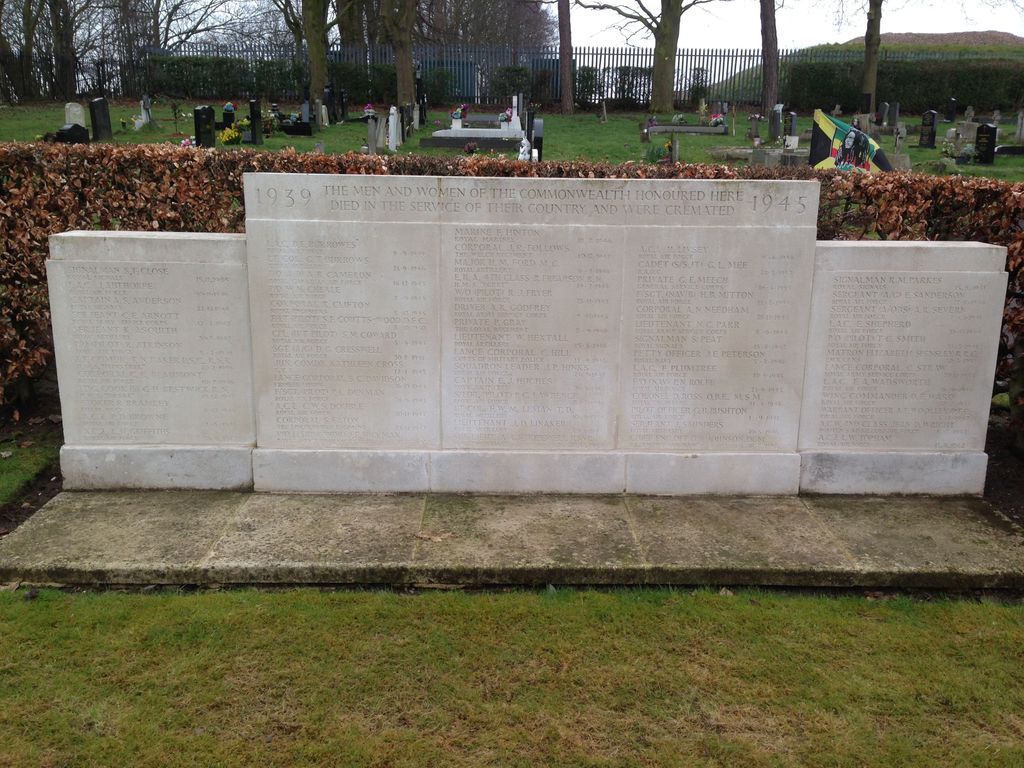
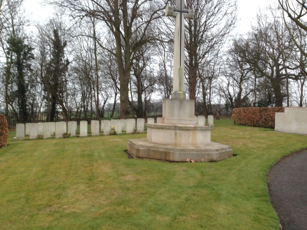
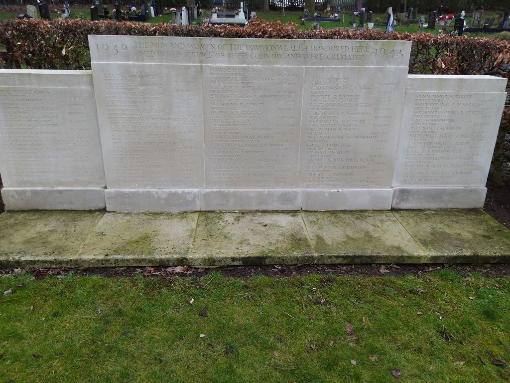
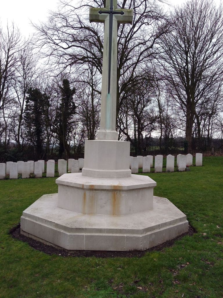
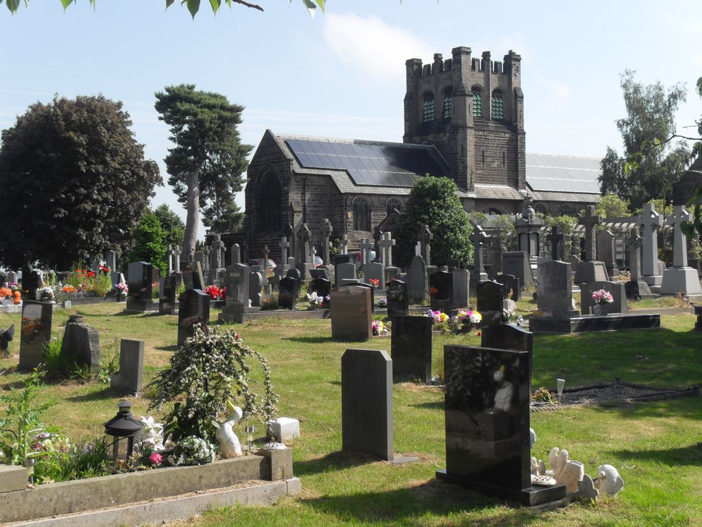
| Memorials | : | 233 |
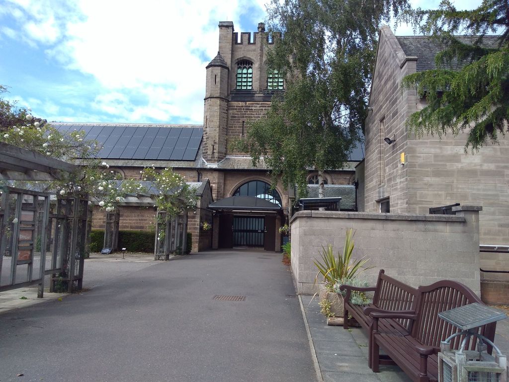
| Location | : | West Bridgford, Rushcliffe Borough, England |
| Coordinate | : | 52.9113900, -1.1408500 |
frequently asked questions (FAQ):
-
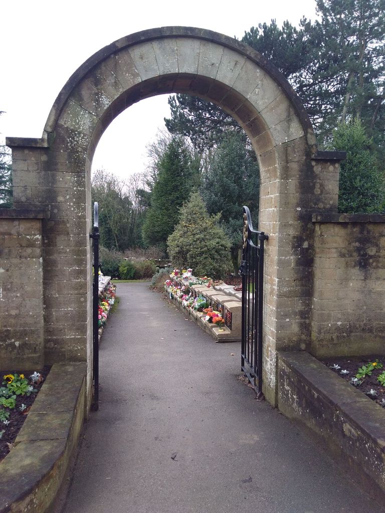
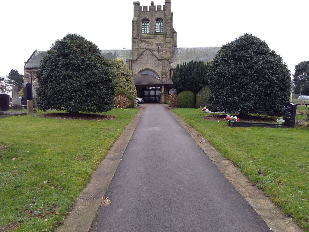
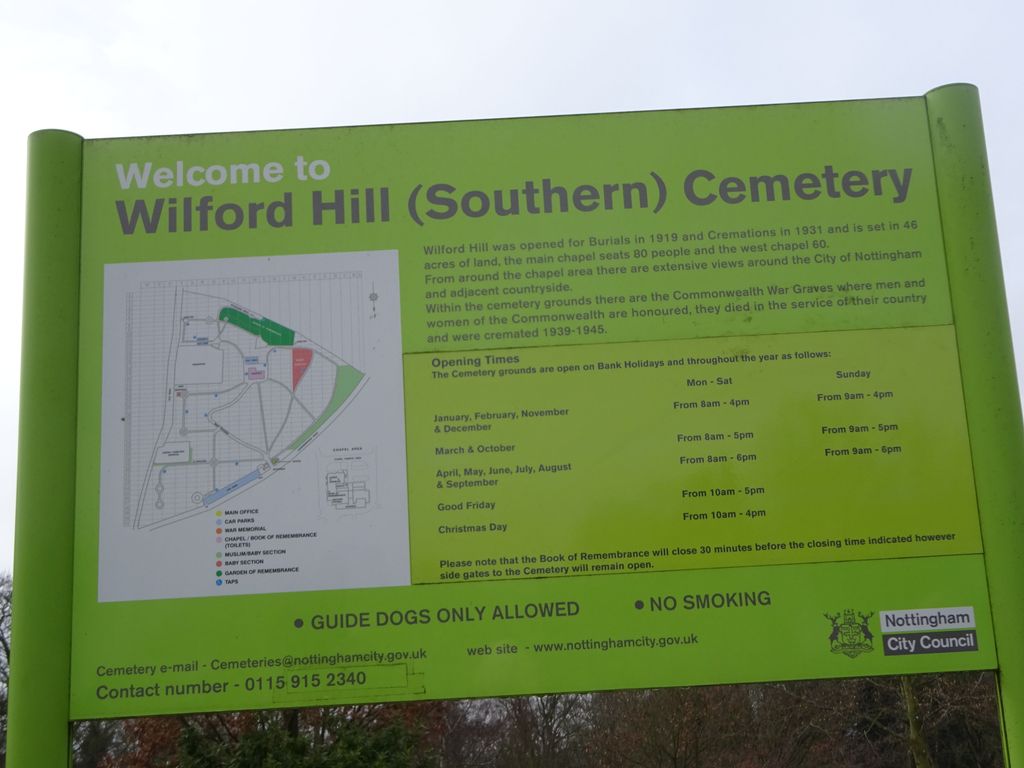
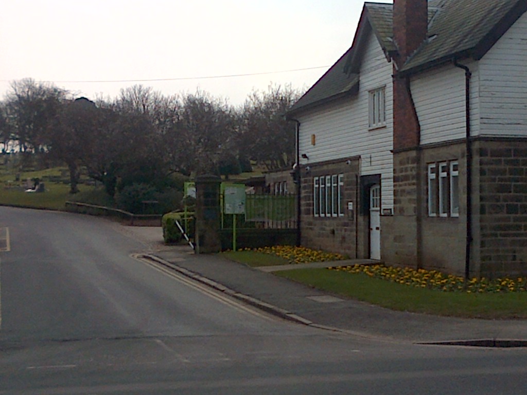
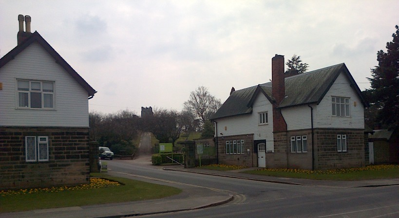
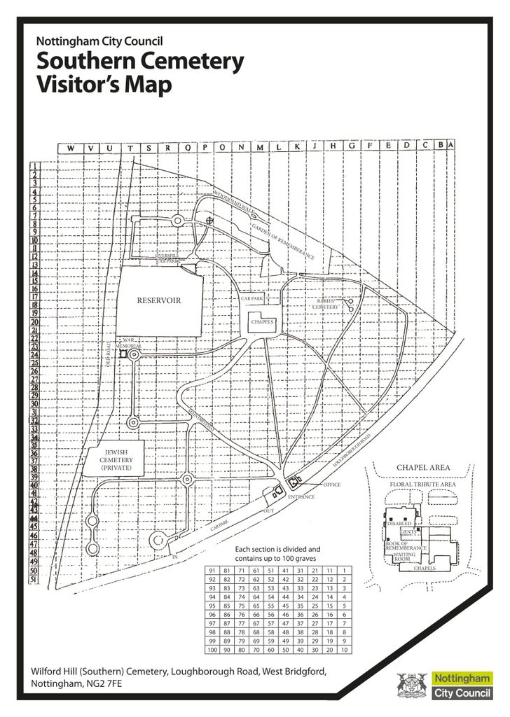
Where is Southern Cemetery and Crematorium?
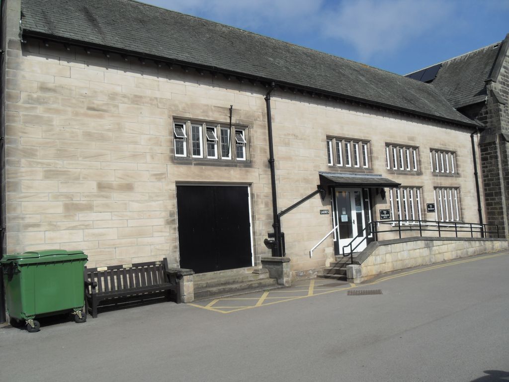
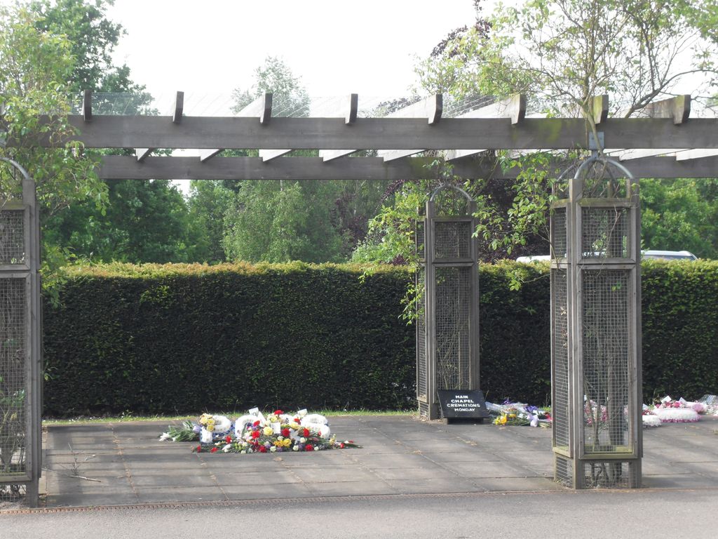
Southern Cemetery and Crematorium is located at A60 Loughborough Road West Bridgford, Rushcliffe Borough ,Nottinghamshire , NG2 7FEEngland.
-
Southern Cemetery and Crematorium cemetery's updated grave count on graveviews.com?
230 memorials
-
Where are the coordinates of the Southern Cemetery and Crematorium?
Latitude: 52.9113900
Longitude: -1.1408500
Nearby Cemetories:
1. Jewish Cemetery
Nottingham, Nottingham Unitary Authority, England
Coordinate: 52.9123890, -1.1372670
2. Edwalton Holy Rood Churchyard
West Bridgford, Rushcliffe Borough, England
Coordinate: 52.9093000, -1.1114170
3. St. Peter's Churchyard
Ruddington, Rushcliffe Borough, England
Coordinate: 52.8925940, -1.1506460
4. Ruddington Old Cemetery
Ruddington, Rushcliffe Borough, England
Coordinate: 52.8914500, -1.1531400
5. St. Giles's Church & Churchyard
West Bridgford, Rushcliffe Borough, England
Coordinate: 52.9316460, -1.1288450
6. St Peter New Churchyard
Ruddington, Rushcliffe Borough, England
Coordinate: 52.8914800, -1.1549600
7. Flawford St Peter
Ruddington, Rushcliffe Borough, England
Coordinate: 52.8934800, -1.1201300
8. Wilford Village Cemetery
Wilford, Nottingham Unitary Authority, England
Coordinate: 52.9338540, -1.1591170
9. St. Wilfrid Churchyard
Wilford, Nottingham Unitary Authority, England
Coordinate: 52.9346290, -1.1587770
10. St Mary's Churchyard
Clifton, Nottingham Unitary Authority, England
Coordinate: 52.9083870, -1.1965435
11. St. Mary The Virgin Churchyard
Plumtree, Rushcliffe Borough, England
Coordinate: 52.8918690, -1.0874320
12. St Nicholas Churchyard
Nottingham, Nottingham Unitary Authority, England
Coordinate: 52.9504780, -1.1509220
13. National Justice Museum High Pavement Nottingham
Nottingham Unitary Authority, England
Coordinate: 52.9510680, -1.1443050
14. St Peters Church Yard
Nottingham, Nottingham Unitary Authority, England
Coordinate: 52.9522800, -1.1486940
15. National Ice Centre
Nottingham, Nottingham Unitary Authority, England
Coordinate: 52.9527790, -1.1394460
16. St Mary's Burial Grounds
Nottingham, Nottingham Unitary Authority, England
Coordinate: 52.9527860, -1.1419160
17. Holy Trinity Churchyard
Lenton, Nottingham Unitary Authority, England
Coordinate: 52.9485630, -1.1753148
18. Cathedral Church of St. Barnabas
Nottingham, Nottingham Unitary Authority, England
Coordinate: 52.9546750, -1.1570460
19. Beeston Baptist Chapel
Beeston, Broxtowe Borough, England
Coordinate: 52.9246600, -1.2122000
20. St. Mary Rest Ground
Nottingham, Nottingham Unitary Authority, England
Coordinate: 52.9568310, -1.1406580
21. General Cemetery
Nottingham, Nottingham Unitary Authority, England
Coordinate: 52.9561430, -1.1615420
22. Nottingham General Cemetery
Nottingham, Nottingham Unitary Authority, England
Coordinate: 52.9575370, -1.1594236
23. St. John the Baptist Churchyard
Beeston, Broxtowe Borough, England
Coordinate: 52.9255562, -1.2167680
24. St Mary the Virgin Churchyard
Bunny, Rushcliffe Borough, England
Coordinate: 52.8606758, -1.1354220