
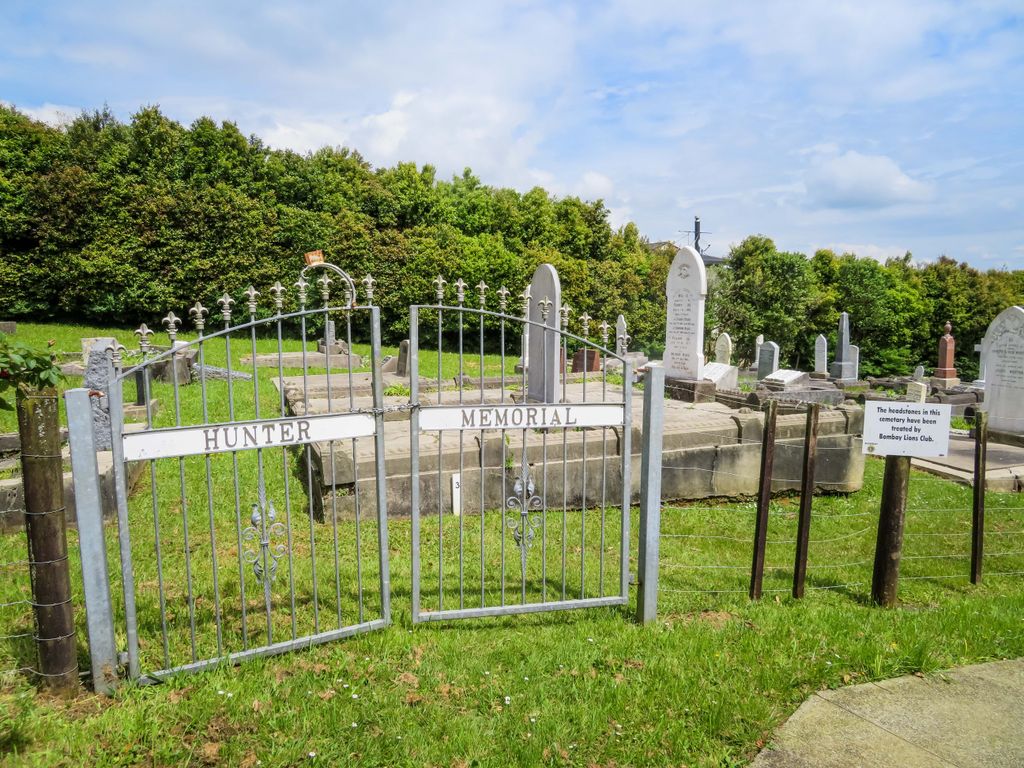
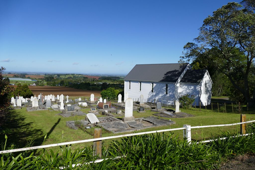
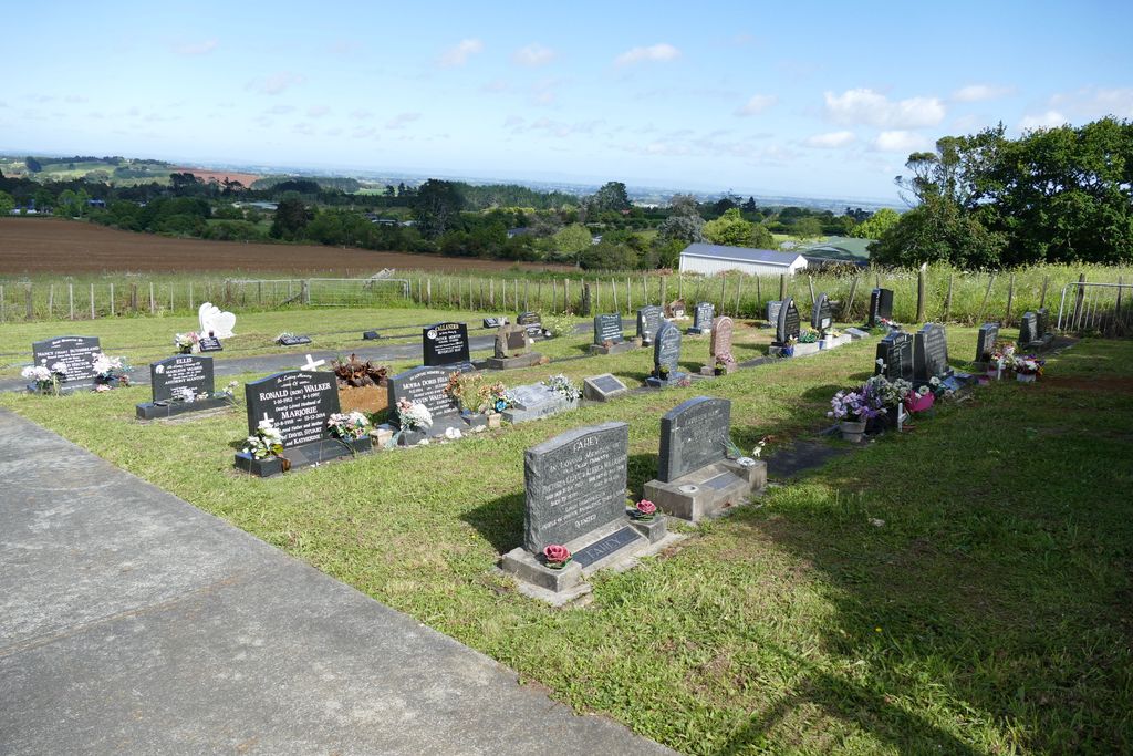
| Memorials | : | 398 |
| Location | : | Bombay, Auckland Council, New Zealand |
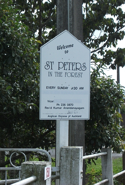
| Phone | : | 09 236 0870 |
| Website | : | www.bombay-pokeno.org.nz |
| Coordinate | : | -37.1869100, 174.9914100 |
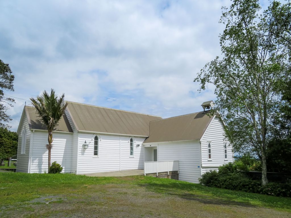
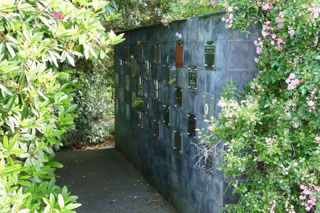
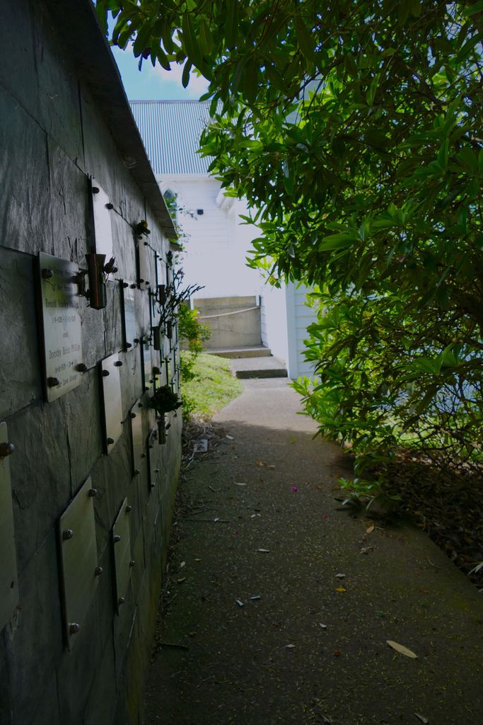
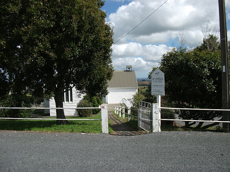
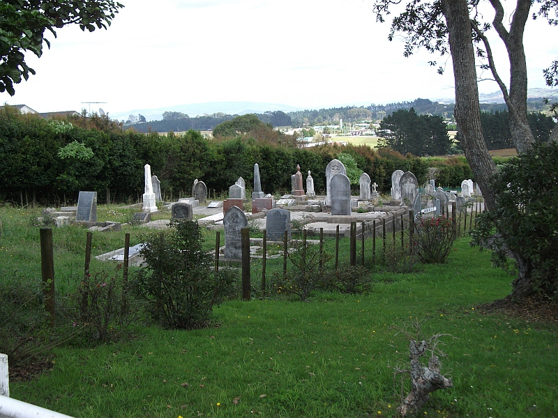
| Description | : | The church of St Peter’s in the Forest is situated 50 kilometres south of Auckland City and close to the northern boundary of the Bombay-Pokeno parish. It is easy to find being approximately 1.2km from the State Highway 1 motorway and accessed using the Bombay off-ramps (#471). There is ample parking roadside and in the church carpark. In early 1866 Bishop Augustus Selwyn paid a walking visit to Bombay (then known as Williamson’s Clearing). He decided that a place of worship should be built there, halfway between Drury and the Waikato River, in the neighbourhood of the immigrants... Read More |
frequently asked questions (FAQ):
-
Where is St. Peter's in the Forest Anglican Cemetery?
St. Peter's in the Forest Anglican Cemetery is located at 150 Bombay Road Bombay, Auckland Council ,Auckland , 2675New Zealand.
-
St. Peter's in the Forest Anglican Cemetery cemetery's updated grave count on graveviews.com?
398 memorials
-
Where are the coordinates of the St. Peter's in the Forest Anglican Cemetery?
Latitude: -37.1869100
Longitude: 174.9914100
Nearby Cemetories:
1. Bombay Presbyterian Church Cemetery
Bombay, Auckland Council, New Zealand
Coordinate: -37.1790700, 174.9826900
2. Pukekohe East Cemetery
Pukekohe East, Auckland Council, New Zealand
Coordinate: -37.1883500, 174.9459000
3. Pratt's Road Catholic Cemetery
Ramarama, Auckland Council, New Zealand
Coordinate: -37.1425500, 174.9871300
4. Pokeno Old Soldiers Cemetery
Pokeno, Waikato District, New Zealand
Coordinate: -37.2386120, 175.0094760
5. Ararimu Schoolhouse Cemetery
Ararimu, Auckland Council, New Zealand
Coordinate: -37.1448376, 175.0359288
6. Pokeno Cemetery
Pokeno, Waikato District, New Zealand
Coordinate: -37.2364600, 175.0215400
7. Ararimu Cemetery
Ararimu, Auckland Council, New Zealand
Coordinate: -37.1321000, 175.0484200
8. Pukekohe Catholic Cemetery
Pukekohe, Auckland Council, New Zealand
Coordinate: -37.1951510, 174.9014640
9. Heights Park Cemetery
Paerata, Auckland Council, New Zealand
Coordinate: -37.1781928, 174.8938836
10. Pukekohe Public Cemetery
Pukekohe, Auckland Council, New Zealand
Coordinate: -37.2106400, 174.8974900
11. St John's Anglican Cemetery Drury
Drury, Auckland Council, New Zealand
Coordinate: -37.1033710, 174.9506070
12. Drury-Runciman War Memorial
Drury, Auckland Council, New Zealand
Coordinate: -37.1025480, 174.9528240
13. Drury Presbyterian Cemetery
Drury, Auckland Council, New Zealand
Coordinate: -37.0991270, 174.9497870
14. Tuakau Cemetery
Tuakau, Waikato District, New Zealand
Coordinate: -37.2844420, 174.9465660
15. Mercer Cemetery
Mercer, Waikato District, New Zealand
Coordinate: -37.2764860, 175.0578300
16. Papakura South Cemetery
Papakura, Auckland Council, New Zealand
Coordinate: -37.0877300, 174.9464700
17. Alexandra Redoubt Cemetery
Tuakau, Waikato District, New Zealand
Coordinate: -37.2858200, 174.9419600
18. Papakura Cemetery
Papakura, Auckland Council, New Zealand
Coordinate: -37.0698600, 174.9448300
19. Hunua Presbyterian Cemetery
Hunua, Auckland Council, New Zealand
Coordinate: -37.0792290, 175.0742700
20. St Brides Church of England Cemetery
Mauku, Auckland Council, New Zealand
Coordinate: -37.2011260, 174.8120370
21. Onewhero Cemetery
Onewhero, Waikato District, New Zealand
Coordinate: -37.3158900, 174.9104900
22. Mauku Cemetery
Mauku, Auckland Council, New Zealand
Coordinate: -37.2011420, 174.8109100
23. St James Churchyard Ardmore
Auckland Council, New Zealand
Coordinate: -37.0364180, 174.9992160
24. Mauku Historical Cemetery
Mauku, Auckland Council, New Zealand
Coordinate: -37.1743690, 174.7951870