
| Memorials | : | 80 |
| Location | : | Tuakau, Waikato District, New Zealand |
| Coordinate | : | -37.2844420, 174.9465660 |
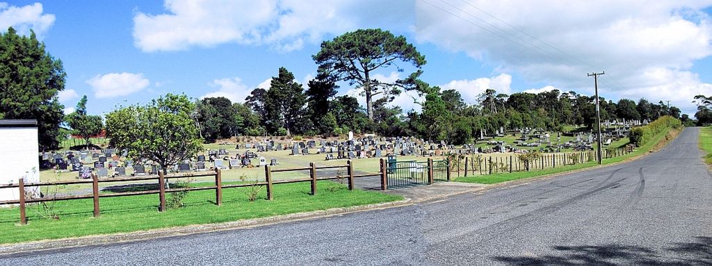
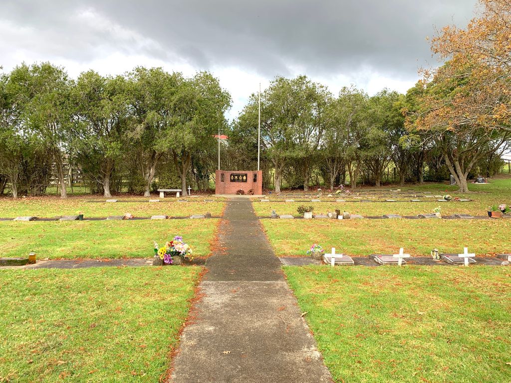
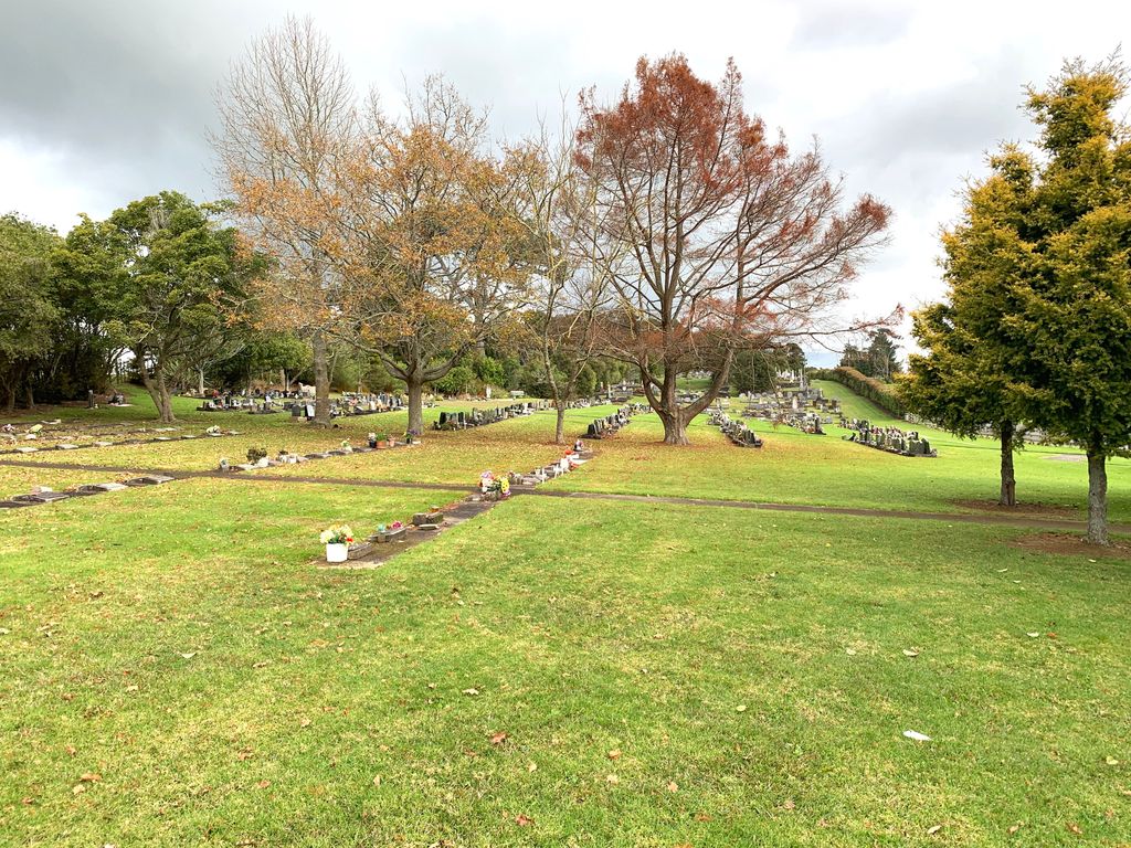
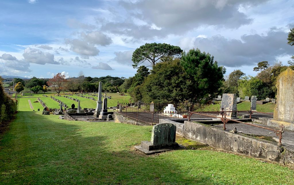
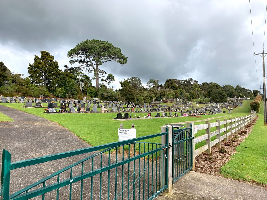
| Description | : | There are two cemeteries on Alexandra Redoubt Road in Tuakau, Waikato. Tuakau Cemetery & at the end of the road is the Alexandra Redoubt Cemetery. Tuakau Cemetery comprised of two main sections - Tuakau and Tuakau Hill, where the older graves are situated. |
frequently asked questions (FAQ):
-
Where is Tuakau Cemetery?
Tuakau Cemetery is located at Alexandra Redoubt Rd Tuakau, Waikato District ,Waikato ,New Zealand.
-
Tuakau Cemetery cemetery's updated grave count on graveviews.com?
80 memorials
-
Where are the coordinates of the Tuakau Cemetery?
Latitude: -37.2844420
Longitude: 174.9465660

Nearby Cemetories:
1. Alexandra Redoubt Cemetery
Tuakau, Waikato District, New Zealand
Coordinate: -37.2858200, 174.9419600
2. Onewhero Cemetery
Onewhero, Waikato District, New Zealand
Coordinate: -37.3158900, 174.9104900
3. Pokeno Old Soldiers Cemetery
Pokeno, Waikato District, New Zealand
Coordinate: -37.2386120, 175.0094760
4. Pokeno Cemetery
Pokeno, Waikato District, New Zealand
Coordinate: -37.2364600, 175.0215400
5. Pukekohe Public Cemetery
Pukekohe, Auckland Council, New Zealand
Coordinate: -37.2106400, 174.8974900
6. Mercer Cemetery
Mercer, Waikato District, New Zealand
Coordinate: -37.2764860, 175.0578300
7. Pukekohe East Cemetery
Pukekohe East, Auckland Council, New Zealand
Coordinate: -37.1883500, 174.9459000
8. Pukekohe Catholic Cemetery
Pukekohe, Auckland Council, New Zealand
Coordinate: -37.1951510, 174.9014640
9. St. Peter's in the Forest Anglican Cemetery
Bombay, Auckland Council, New Zealand
Coordinate: -37.1869100, 174.9914100
10. Bombay Presbyterian Church Cemetery
Bombay, Auckland Council, New Zealand
Coordinate: -37.1790700, 174.9826900
11. Manutahi Urupā
Port Waikato, Waikato District, New Zealand
Coordinate: -37.3337939, 174.8210091
12. Heights Park Cemetery
Paerata, Auckland Council, New Zealand
Coordinate: -37.1781928, 174.8938836
13. Opuatia Urupā
Opuatia, Auckland Council, New Zealand
Coordinate: -37.3983460, 174.9893180
14. Tekohanga Urupā
Port Waikato, Waikato District, New Zealand
Coordinate: -37.3314940, 174.8085230
15. St Brides Church of England Cemetery
Mauku, Auckland Council, New Zealand
Coordinate: -37.2011260, 174.8120370
16. Mauku Cemetery
Mauku, Auckland Council, New Zealand
Coordinate: -37.2011420, 174.8109100
17. Pratt's Road Catholic Cemetery
Ramarama, Auckland Council, New Zealand
Coordinate: -37.1425500, 174.9871300
18. Ararimu Schoolhouse Cemetery
Ararimu, Auckland Council, New Zealand
Coordinate: -37.1448376, 175.0359288
19. Mauku Historical Cemetery
Mauku, Auckland Council, New Zealand
Coordinate: -37.1743690, 174.7951870
20. Waiuku Cemetery
Waiuku, Auckland Council, New Zealand
Coordinate: -37.2612630, 174.7346520
21. Glen Murray Cemetery
Glen Murray, Waikato District, New Zealand
Coordinate: -37.4551820, 174.9591310
22. Ararimu Cemetery
Ararimu, Auckland Council, New Zealand
Coordinate: -37.1321000, 175.0484200
23. St John's Anglican Cemetery Drury
Drury, Auckland Council, New Zealand
Coordinate: -37.1033710, 174.9506070
24. Drury-Runciman War Memorial
Drury, Auckland Council, New Zealand
Coordinate: -37.1025480, 174.9528240