
| Memorials | : | 0 |
| Location | : | Wivelsfield, Lewes District, England |
| Coordinate | : | 50.9708740, -0.0952190 |
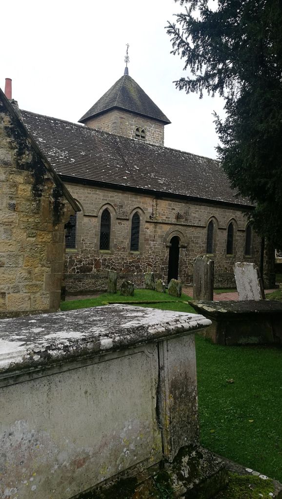
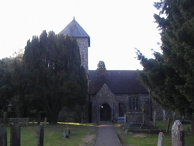
| Description | : | The church is in the grounds of an independent school standing alone. It is accessed in Church Lane. |
frequently asked questions (FAQ):
-
Where is St. Peter & St. John the Baptist Churchyard?
St. Peter & St. John the Baptist Churchyard is located at Wivelsfield, Lewes District ,East Sussex ,England.
-
St. Peter & St. John the Baptist Churchyard cemetery's updated grave count on graveviews.com?
0 memorials
-
Where are the coordinates of the St. Peter & St. John the Baptist Churchyard?
Latitude: 50.9708740
Longitude: -0.0952190


Nearby Cemetories:
1. Bethel Baptist Chapel
Wivelsfield, Lewes District, England
Coordinate: 50.9626990, -0.0952615
2. St Andrew Churchyard
Burgess Hill, Mid Sussex District, England
Coordinate: 50.9604300, -0.1219500
3. All Saints United Reformed Church
Burgess Hill, Mid Sussex District, England
Coordinate: 50.9537245, -0.1252350
4. St. John the Evangelist Churchyard
Burgess Hill, Mid Sussex District, England
Coordinate: 50.9570100, -0.1333700
5. Western Road Cemetery
Haywards Heath, Mid Sussex District, England
Coordinate: 50.9987100, -0.0920000
6. St Wilfrid's Churchyard
Haywards Heath, Mid Sussex District, England
Coordinate: 50.9993130, -0.1046570
7. St Edward the Confessor
Burgess Hill, Mid Sussex District, England
Coordinate: 50.9606020, -0.1484840
8. Burgess Hill Burial Ground
Burgess Hill, Mid Sussex District, England
Coordinate: 50.9542794, -0.1583567
9. Holy Trinity Churchyard
Cuckfield, Mid Sussex District, England
Coordinate: 51.0048580, -0.1434300
10. St Marys Churchyard
Chailey, Lewes District, England
Coordinate: 50.9720890, -0.0218170
11. All Saints Churchyard
Lindfield, Mid Sussex District, England
Coordinate: 51.0163470, -0.0784980
12. St. Peter's Churchyard
Chailey, Lewes District, England
Coordinate: 50.9566700, -0.0191720
13. Ditchling Unitarian Chapel Chapelyard
Ditchling, Lewes District, England
Coordinate: 50.9214096, -0.1129916
14. The Browne Burial Ground
Ditchling, Lewes District, England
Coordinate: 50.9213097, -0.1128219
15. Streat Churchyard
Streat, Lewes District, England
Coordinate: 50.9202600, -0.0794500
16. Ditchling Cemetery
Ditchling, Lewes District, England
Coordinate: 50.9196160, -0.1050510
17. St Cosmas and St Damian Churchyard
Hassocks, Mid Sussex District, England
Coordinate: 50.9219800, -0.1305650
18. East Chiltington Churchyard
East Chiltington, Lewes District, England
Coordinate: 50.9192280, -0.0526570
19. St Martin Churchyard
Westmeston, Lewes District, England
Coordinate: 50.9066840, -0.0971980
20. Hurstpierpoint South Avenue Cemetery
Hurstpierpoint, Mid Sussex District, England
Coordinate: 50.9300110, -0.1753150
21. Holy Trinity Churchyard
Hurstpierpoint, Mid Sussex District, England
Coordinate: 50.9337020, -0.1804460
22. Clayton Wood Natural Burial Ground
Clayton, Mid Sussex District, England
Coordinate: 50.9160900, -0.1547600
23. St Michael and All Angels Churchyard
Plumpton, Lewes District, England
Coordinate: 50.9050700, -0.0717450
24. Begraafplaats Madonna
Langemark-Poelkapelle, Arrondissement Ieper, Belgium
Coordinate: 50.9354160, 0.0000000