
| Memorials | : | 0 |
| Location | : | Eastgate, Durham Unitary Authority, England |
| Coordinate | : | 54.7744000, -2.0916800 |
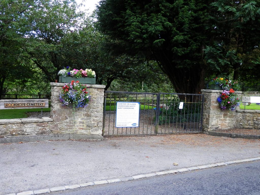
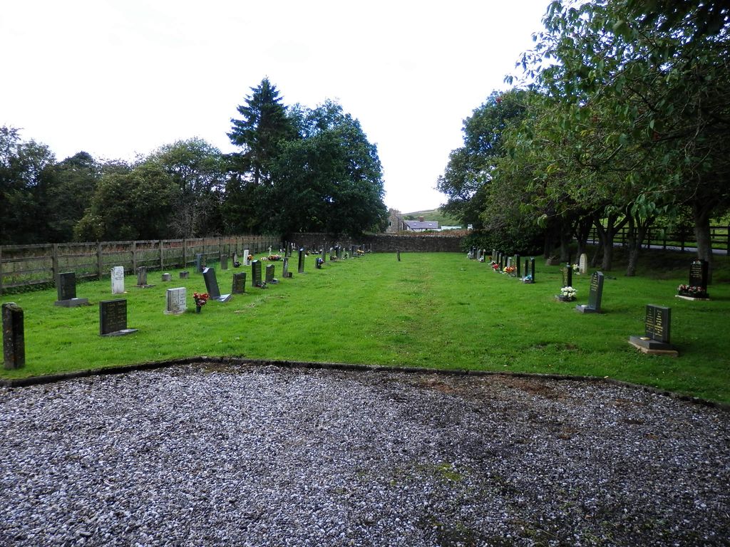
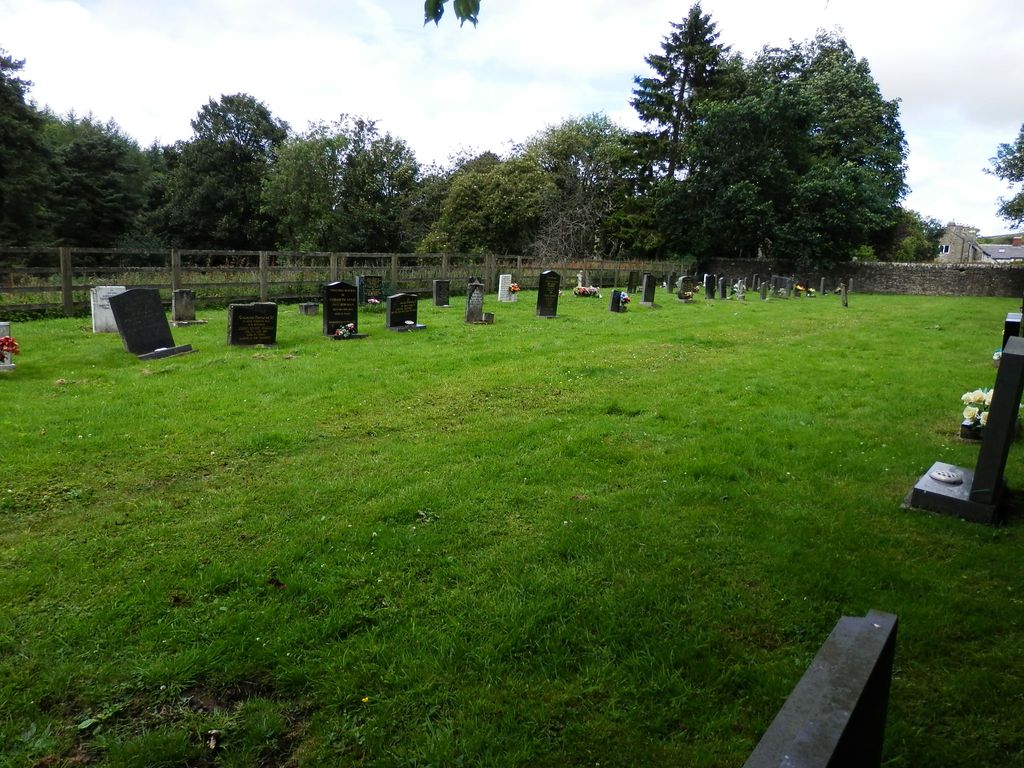
| Description | : | Rookhope, about 3 miles north of Eastgate, is a small picturesque village nestling in its own valley just off the A689 route through Weardale, County Durham. The nearest town is Stanhope, about 5½ miles away. The cemetery is just south of the village on the east side of the Rookhope Burn, which cuts through the village. Rookhope Old Churchyard is on the opposite side of the burn, and is visible (but not accessible) from the cemetery carpark. |
frequently asked questions (FAQ):
-
Where is Rookhope Cemetery?
Rookhope Cemetery is located at Rookhope Front Street Eastgate, Durham Unitary Authority ,County Durham ,England.
-
Rookhope Cemetery cemetery's updated grave count on graveviews.com?
0 memorials
-
Where are the coordinates of the Rookhope Cemetery?
Latitude: 54.7744000
Longitude: -2.0916800
Nearby Cemetories:
1. Old Churchyard
Eastgate, Durham Unitary Authority, England
Coordinate: 54.7751710, -2.0933400
2. All Saints Churchyard
Eastgate, Durham Unitary Authority, England
Coordinate: 54.7445590, -2.0745270
3. St James Churchyard
Hunstanworth, Durham Unitary Authority, England
Coordinate: 54.8358650, -2.0807750
4. Church of Saint Mary
Blanchland, Northumberland Unitary Authority, England
Coordinate: 54.8484000, -2.0541000
5. Saint Thomas Heatherycleugh
Cowshill, Durham Unitary Authority, England
Coordinate: 54.7601700, -2.2264200
6. Burtree Ford Cemetery
Cowshill, Durham Unitary Authority, England
Coordinate: 54.7587910, -2.2286680
7. Copt Hill Churchyard
Cowshill, Durham Unitary Authority, England
Coordinate: 54.7626700, -2.2320470
8. Saint Michael's Churchyard
Frosterley, Durham Unitary Authority, England
Coordinate: 54.7270600, -1.9597500
9. St. Edmunds Churchyard
Edmundbyers, Durham Unitary Authority, England
Coordinate: 54.8440300, -1.9790400
10. St Peter in the Forest
Allendale, Northumberland Unitary Authority, England
Coordinate: 54.8313100, -2.2350600
11. St Matthew Churchyard
Consett, Durham Unitary Authority, England
Coordinate: 54.8040630, -1.9239040
12. Winnowshill Friends' Meeting House
Healey, Northumberland Unitary Authority, England
Coordinate: 54.8706180, -2.0084840
13. All Saints Churchyard
Muggleswick, Durham Unitary Authority, England
Coordinate: 54.8442600, -1.9326700
14. St James the Less Churchyard
Forest in Teesdale, Durham Unitary Authority, England
Coordinate: 54.6719700, -2.2264200
15. Castleside Cemetery
Consett, Durham Unitary Authority, England
Coordinate: 54.8300800, -1.8834900
16. Carrshield Anglican Churchyard
Allendale, Northumberland Unitary Authority, England
Coordinate: 54.8229010, -2.3083050
17. Rowley Burial Ground
Consett, Durham Unitary Authority, England
Coordinate: 54.8262177, -1.8656499
18. Moorside Cemetery
Consett, Durham Unitary Authority, England
Coordinate: 54.8409330, -1.8709330
19. St John's Churchyard
Nenthead, Eden District, England
Coordinate: 54.7903000, -2.3434180
20. Limestone Brae, Wesleyan Methodist Chapel
Allendale, Northumberland Unitary Authority, England
Coordinate: 54.8425890, -2.3207386
21. Middleton On Teesdale Churchyard
Middleton-in-Teesdale, Durham Unitary Authority, England
Coordinate: 54.6257980, -2.0825420
22. Saint Andrew’s Churchyard
Kiln Pit Hill, Northumberland Unitary Authority, England
Coordinate: 54.8916000, -1.9307000
23. Limestone Brae Burial Ground
Allendale, Northumberland Unitary Authority, England
Coordinate: 54.8441180, -2.3233520
24. Nenthead Cemetery
Nenthead, Eden District, England
Coordinate: 54.7947260, -2.3536210