
| Memorials | : | 0 |
| Location | : | Burtle, Sedgemoor District, England |
| Coordinate | : | 51.1856232, -2.8665409 |
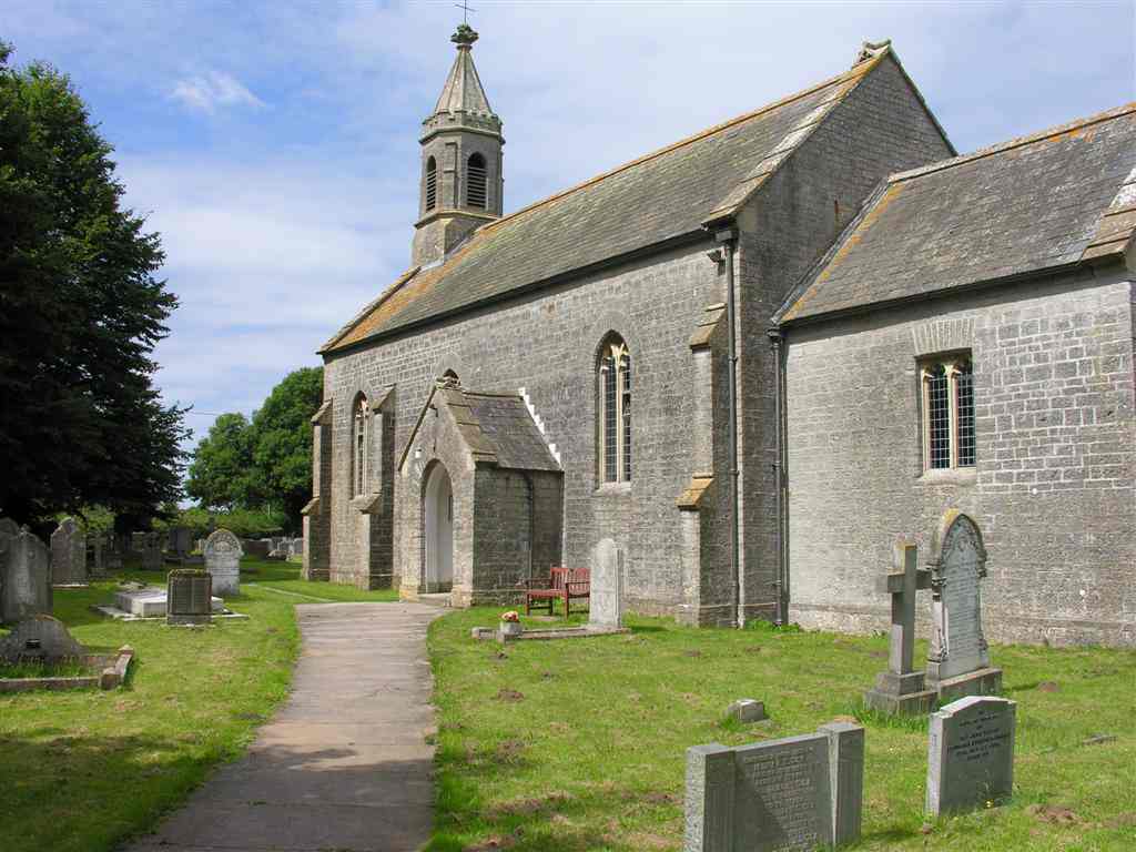
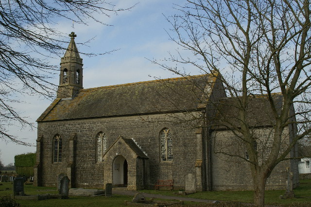
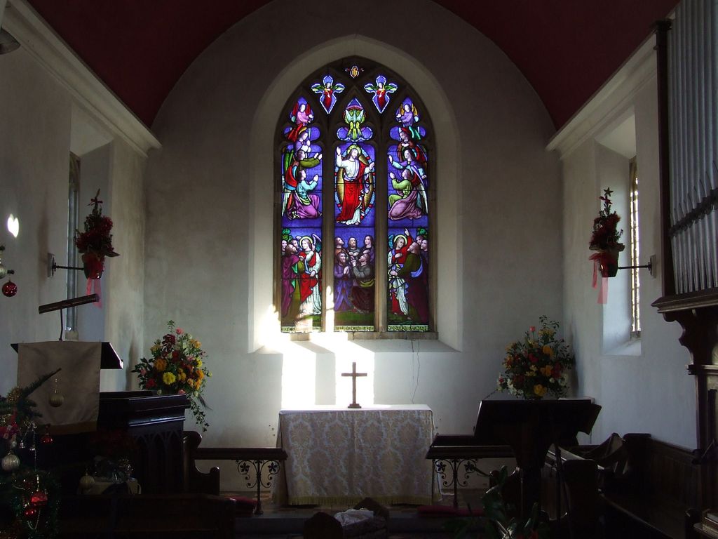
| Description | : | The village church in Burtle is dedicated to St Philip and St James and dates from 1839. May also be known as Burtle Church. |
frequently asked questions (FAQ):
-
Where is St. Philip and St. James Churchyard?
St. Philip and St. James Churchyard is located at Burtle, Sedgemoor District ,Somerset ,England.
-
St. Philip and St. James Churchyard cemetery's updated grave count on graveviews.com?
0 memorials
-
Where are the coordinates of the St. Philip and St. James Churchyard?
Latitude: 51.1856232
Longitude: -2.8665409
Nearby Cemetories:
1. Saint George Churchyard
Edington, Sedgemoor District, England
Coordinate: 51.1540010, -2.8778350
2. St Edwards Churchyard
Chilton Polden, Sedgemoor District, England
Coordinate: 51.1554490, -2.8972091
3. Saint Peter Churchyard
Catcott, Sedgemoor District, England
Coordinate: 51.1494920, -2.8671220
4. Holy Trinity Churchyard
Blackford, Sedgemoor District, England
Coordinate: 51.2257800, -2.8483000
5. Holy Cross Churchyard
Mark, Sedgemoor District, England
Coordinate: 51.2269640, -2.8860140
6. St. Mary's Churchyard
Cossington, Sedgemoor District, England
Coordinate: 51.1580085, -2.9213149
7. Blessed Virgin Mary Extension Cemetery
Woolavington, Sedgemoor District, England
Coordinate: 51.1705660, -2.9329110
8. Blessed Virgin Mary Churchyard
Woolavington, Sedgemoor District, England
Coordinate: 51.1704000, -2.9341000
9. All Saints Churchyard
East Huntspill, Sedgemoor District, England
Coordinate: 51.2015000, -2.9405700
10. Blessed Virgin Mary Churchyard
Shapwick, Sedgemoor District, England
Coordinate: 51.1405090, -2.8336100
11. St. Francis Churchyard
Stawell, Sedgemoor District, England
Coordinate: 51.1404200, -2.9046660
12. Baptist Churchyard
Wedmore, Sedgemoor District, England
Coordinate: 51.2260400, -2.8099800
13. St. Mary Churchyard
Wedmore, Sedgemoor District, England
Coordinate: 51.2276790, -2.8110360
14. St. Mary & All Saints Churchyard
Meare, Mendip District, England
Coordinate: 51.1715900, -2.7804100
15. Blessed Virgin Mary Churchyard
Moorlinch, Sedgemoor District, England
Coordinate: 51.1280000, -2.8616000
16. Saint Michael & All Angels Churchyard
Bawdrip, Sedgemoor District, England
Coordinate: 51.1517260, -2.9429330
17. St. Mary Magdalene Churchyard Extension
Wedmore, Sedgemoor District, England
Coordinate: 51.2327583, -2.8065246
18. Sutton Mallet Churchyard
Sutton Mallet, Sedgemoor District, England
Coordinate: 51.1282540, -2.8974536
19. Allerton Churchyard
Chapel Allerton, Sedgemoor District, England
Coordinate: 51.2479860, -2.8482400
20. St. Michael and All Angels Churchyard
Greinton, Sedgemoor District, England
Coordinate: 51.1240140, -2.8408590
21. All Saint's Churchyard
Ashcott, Sedgemoor District, England
Coordinate: 51.1309220, -2.8058870
22. Saint Michael and All Angels Churchyard
Puriton, Sedgemoor District, England
Coordinate: 51.1706000, -2.9735000
23. Christ Church Theale
Wedmore, Sedgemoor District, England
Coordinate: 51.2113720, -2.7631570
24. Church of the Blessed Virgin Mary Churchyard
Chedzoy, Sedgemoor District, England
Coordinate: 51.1344600, -2.9429400