
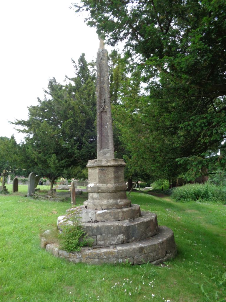
| Memorials | : | 20 |
| Location | : | Wedmore, Sedgemoor District, England |
| Coordinate | : | 51.2276790, -2.8110360 |
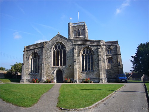
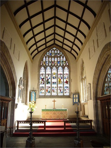
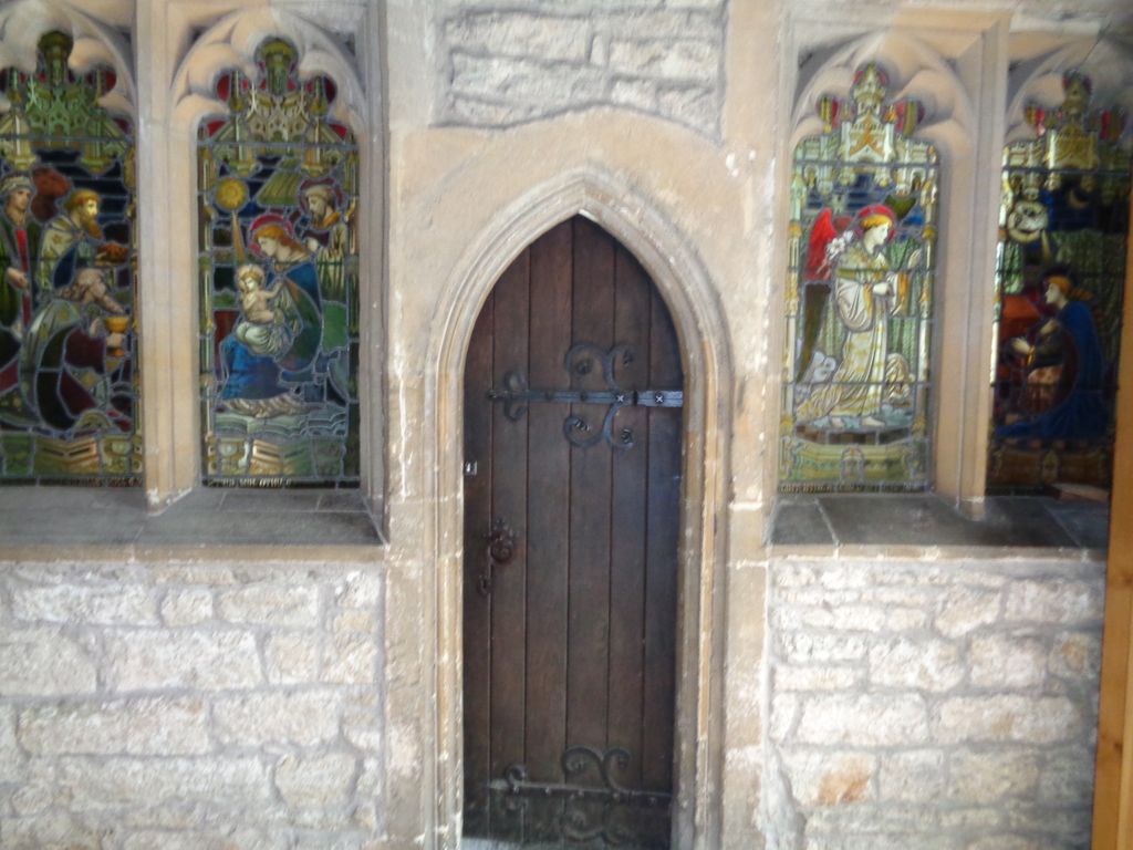
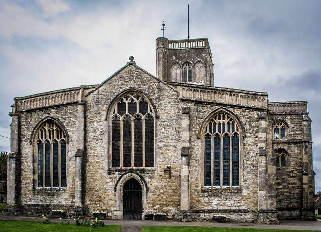
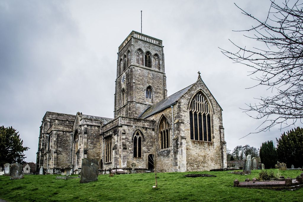
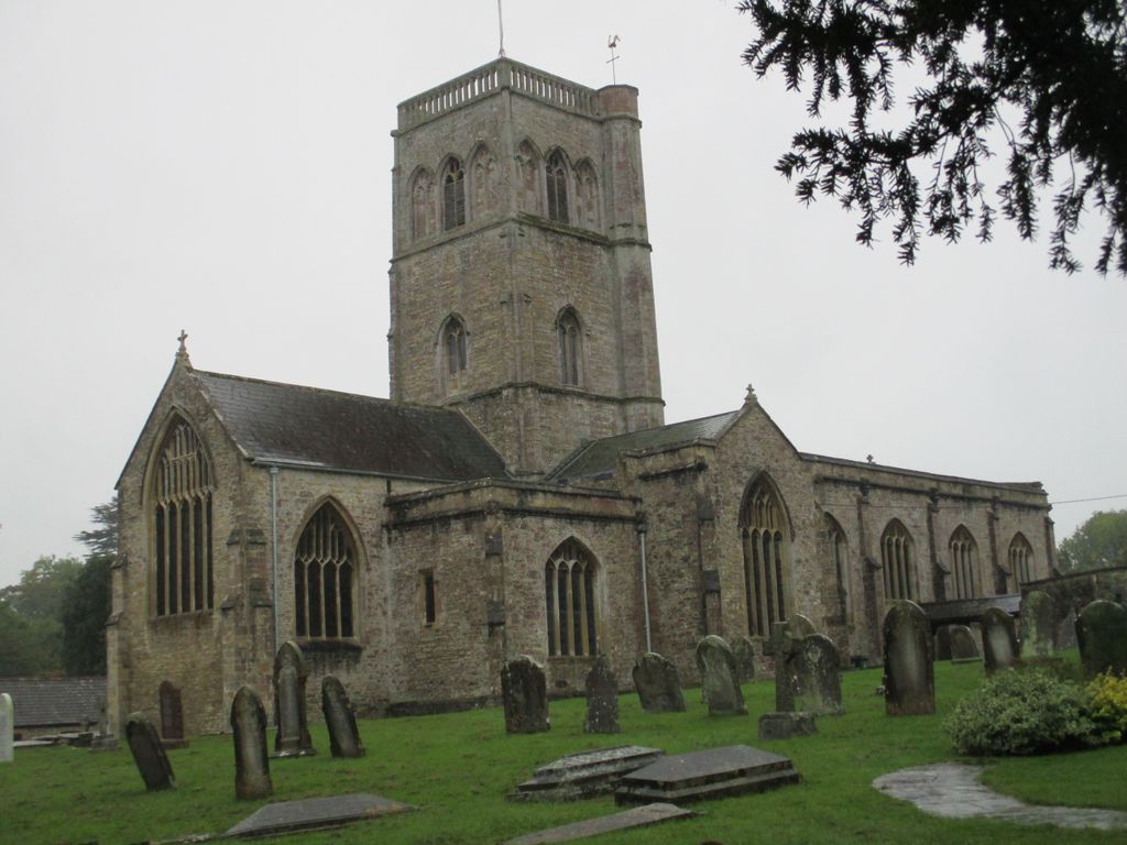
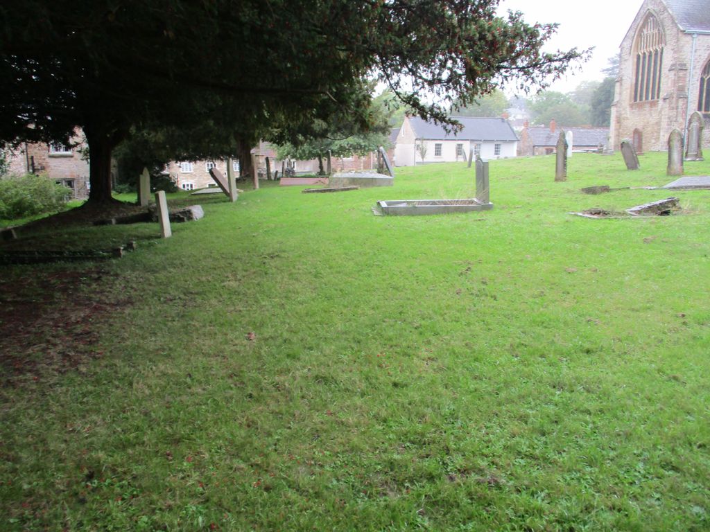
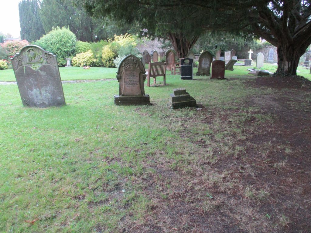
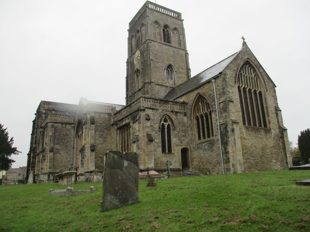
| Description | : | ============================== The Church of St Mary in Wedmore, Somerset, England is predominantly from the 15th century, although some 12th and 13th century work survives. It has been designated as a Grade I listed building. The tower, which was built around 1400, with its set-back buttresses, includes triple two-light bell chamber windows; those to the centre are louvred, those to each side blank. There is a wall painting of St Christopher, that dates from the late 15th Century or possibly early 16th. This is unusual as few late paintings survived the ravages of the two Cromwell's Oliver and Thomas. The painting also features ships... Read More |
frequently asked questions (FAQ):
-
Where is St. Mary Churchyard?
St. Mary Churchyard is located at Church Street Wedmore, Sedgemoor District ,Somerset , BS28 4AAEngland.
-
St. Mary Churchyard cemetery's updated grave count on graveviews.com?
19 memorials
-
Where are the coordinates of the St. Mary Churchyard?
Latitude: 51.2276790
Longitude: -2.8110360
Nearby Cemetories:
1. Baptist Churchyard
Wedmore, Sedgemoor District, England
Coordinate: 51.2260400, -2.8099800
2. St. Mary Magdalene Churchyard Extension
Wedmore, Sedgemoor District, England
Coordinate: 51.2327583, -2.8065246
3. Holy Trinity Churchyard
Blackford, Sedgemoor District, England
Coordinate: 51.2257800, -2.8483000
4. Allerton Churchyard
Chapel Allerton, Sedgemoor District, England
Coordinate: 51.2479860, -2.8482400
5. Christ Church Theale
Wedmore, Sedgemoor District, England
Coordinate: 51.2113720, -2.7631570
6. St. Leonard's Churchyard
Rodney Stoke, Mendip District, England
Coordinate: 51.2455140, -2.7431800
7. St Gregory Churchyard
Weare, Sedgemoor District, England
Coordinate: 51.2699900, -2.8408600
8. Holy Cross Churchyard
Mark, Sedgemoor District, England
Coordinate: 51.2269640, -2.8860140
9. St. Peter's Churchyard
Draycott, Mendip District, England
Coordinate: 51.2580900, -2.7523800
10. St. Andrew's Churchyard
Cheddar, Sedgemoor District, England
Coordinate: 51.2736740, -2.7761330
11. Cheddar Baptist Burial Ground
Cheddar, Sedgemoor District, England
Coordinate: 51.2767330, -2.7792010
12. St. Philip and St. James Churchyard
Burtle, Sedgemoor District, England
Coordinate: 51.1856232, -2.8665409
13. St Congar Churchyard
Badgworth, Sedgemoor District, England
Coordinate: 51.2699300, -2.8674000
14. Christ Church Churchyard
Henton, Mendip District, England
Coordinate: 51.2056460, -2.7256380
15. St Lawrence Churchyard
Westbury, Mendip District, England
Coordinate: 51.2354140, -2.7182630
16. St. Mary & All Saints Churchyard
Meare, Mendip District, England
Coordinate: 51.1715900, -2.7804100
17. St. John the Baptist Churchyard
Axbridge, Sedgemoor District, England
Coordinate: 51.2876300, -2.8162900
18. St. Michael Sanatorium Cemetery
Axbridge, Sedgemoor District, England
Coordinate: 51.2904100, -2.8056900
19. Holy Trinity Church
Godney, Mendip District, England
Coordinate: 51.1793400, -2.7377400
20. St. John the Baptist Churchyard
Biddisham, Sedgemoor District, England
Coordinate: 51.2764090, -2.8878950
21. Saint Andrew Churchyard
Compton Bishop, Sedgemoor District, England
Coordinate: 51.2943290, -2.8678900
22. St. Matthew Churchyard
Wookey, Mendip District, England
Coordinate: 51.2093000, -2.6893000
23. St. James the Great Churchyard
Winscombe, North Somerset Unitary Authority, England
Coordinate: 51.3059750, -2.8456900
24. Saint George Churchyard
Edington, Sedgemoor District, England
Coordinate: 51.1540010, -2.8778350