
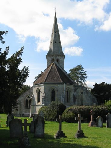
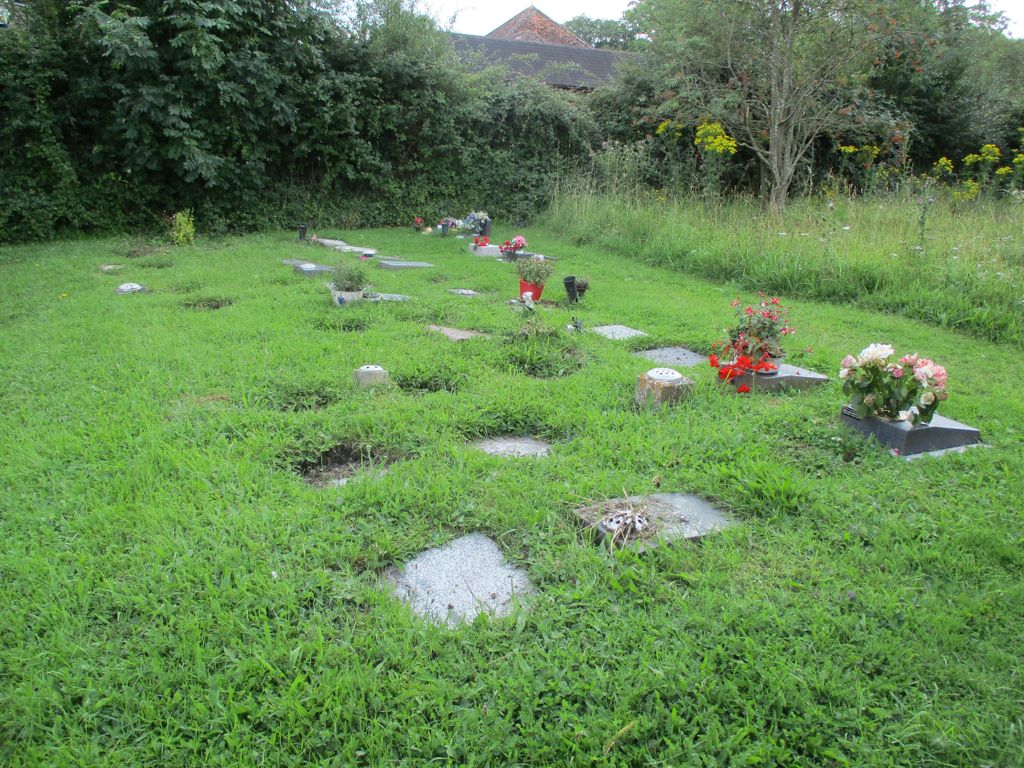
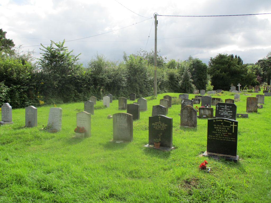
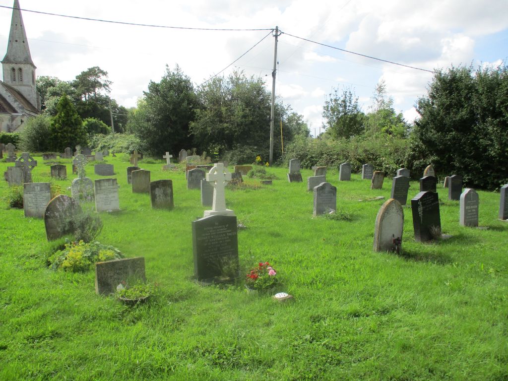
| Memorials | : | 0 |
| Location | : | Gillingham, North Dorset District, England |
| Website | : | www.gillinghamanglican.co.uk/ |
| Coordinate | : | 51.0569980, -2.2843840 |
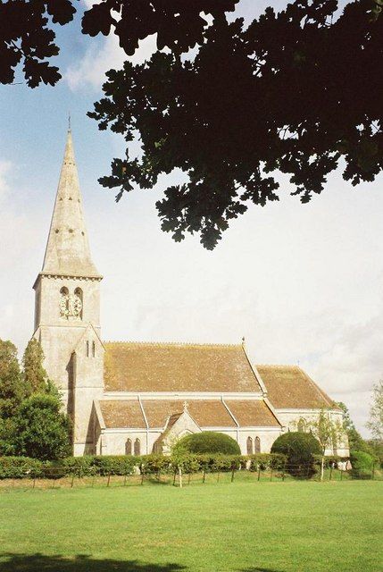
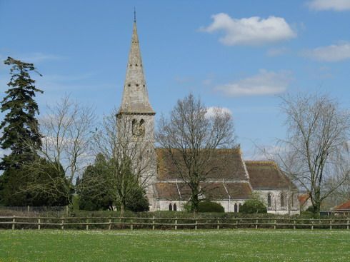
| Description | : | Church of England. |
frequently asked questions (FAQ):
-
Where is St. Simon & St Jude Church Milton on Stour?
St. Simon & St Jude Church Milton on Stour is located at Gillingham, North Dorset District ,Dorset , SP8 5QDEngland.
-
St. Simon & St Jude Church Milton on Stour cemetery's updated grave count on graveviews.com?
0 memorials
-
Where are the coordinates of the St. Simon & St Jude Church Milton on Stour?
Latitude: 51.0569980
Longitude: -2.2843840


Nearby Cemetories:
1. Gillingham New Cemetery
Gillingham, North Dorset District, England
Coordinate: 51.0408540, -2.2811650
2. Gillingham Garden of Rememberance
Gillingham, North Dorset District, England
Coordinate: 51.0393211, -2.2795574
3. St Nicholas Churchyard
Silton, North Dorset District, England
Coordinate: 51.0630170, -2.3123390
4. St. Mary the Virgin Churchyard
Gillingham, North Dorset District, England
Coordinate: 51.0383080, -2.2776020
5. St George's Churchyard
Bourton, North Dorset District, England
Coordinate: 51.0715490, -2.3321690
6. Bourton Village Cemetery
Bourton, North Dorset District, England
Coordinate: 51.0715890, -2.3337900
7. St Lawrence Churchyard
Cucklington, South Somerset District, England
Coordinate: 51.0487190, -2.3507950
8. St. Michael Churchyard
Pen Selwood, South Somerset District, England
Coordinate: 51.0816300, -2.3499200
9. Christ Church
East Stour, North Dorset District, England
Coordinate: 51.0048020, -2.2882840
10. St. Mary's Churchyard
Motcombe, North Dorset District, England
Coordinate: 51.0263000, -2.2165000
11. St John The Baptist Churchyard
Buckhorn Weston, North Dorset District, England
Coordinate: 51.0212870, -2.3481780
12. Civic Cemetery
Buckhorn Weston, North Dorset District, England
Coordinate: 51.0212440, -2.3484600
13. All Saints Churchyard
Kington Magna, North Dorset District, England
Coordinate: 51.0072810, -2.3320080
14. St. Michael & All Angels Churchyard
Stour Provost, North Dorset District, England
Coordinate: 50.9926020, -2.2948470
15. St Mary Magdalene Churchyard
Fifehead Magdalen, North Dorset District, England
Coordinate: 50.9933080, -2.3108970
16. Stavordale Priory
Charlton Musgrove, South Somerset District, England
Coordinate: 51.0870410, -2.3778130
17. St John's Churchyard
Motcombe, North Dorset District, England
Coordinate: 51.0073350, -2.2083450
18. Saint John's Churchyard
Charlton Musgrove, South Somerset District, England
Coordinate: 51.0840723, -2.3869787
19. All Saints Churchyard
North Dorset District, England
Coordinate: 50.9894410, -2.2541640
20. St. Mary's Churchyard
East Knoyle, Wiltshire Unitary Authority, England
Coordinate: 51.0739825, -2.1723783
21. Holy Trinity Churchyard
Shaftesbury, North Dorset District, England
Coordinate: 51.0058250, -2.1994730
22. Saint Stephen Churchyard
Charlton Musgrove, South Somerset District, England
Coordinate: 51.0678630, -2.4008550
23. Shaftesbury Abbey Ruins
Shaftesbury, North Dorset District, England
Coordinate: 51.0053000, -2.1986000
24. St Peter's Church
Shaftesbury, North Dorset District, England
Coordinate: 51.0057190, -2.1967650