
| Memorials | : | 27 |
| Location | : | Clanfield, West Oxfordshire District, England |
| Coordinate | : | 51.7174060, -1.5911740 |
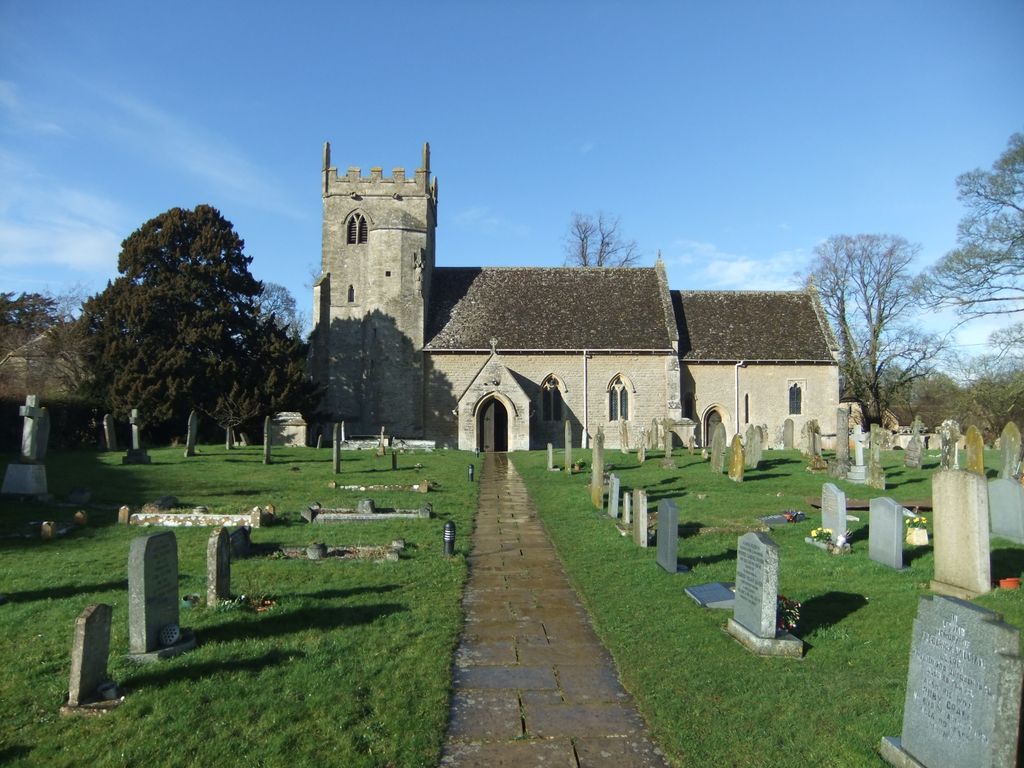
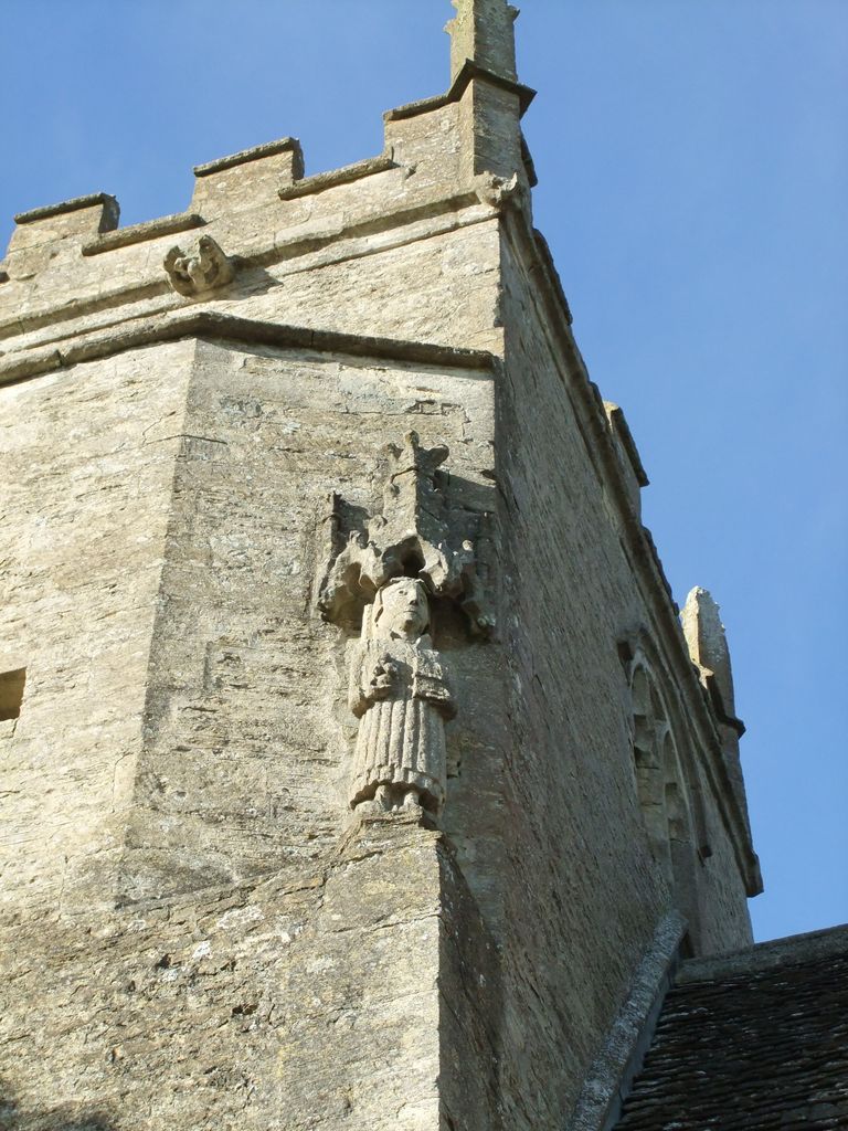
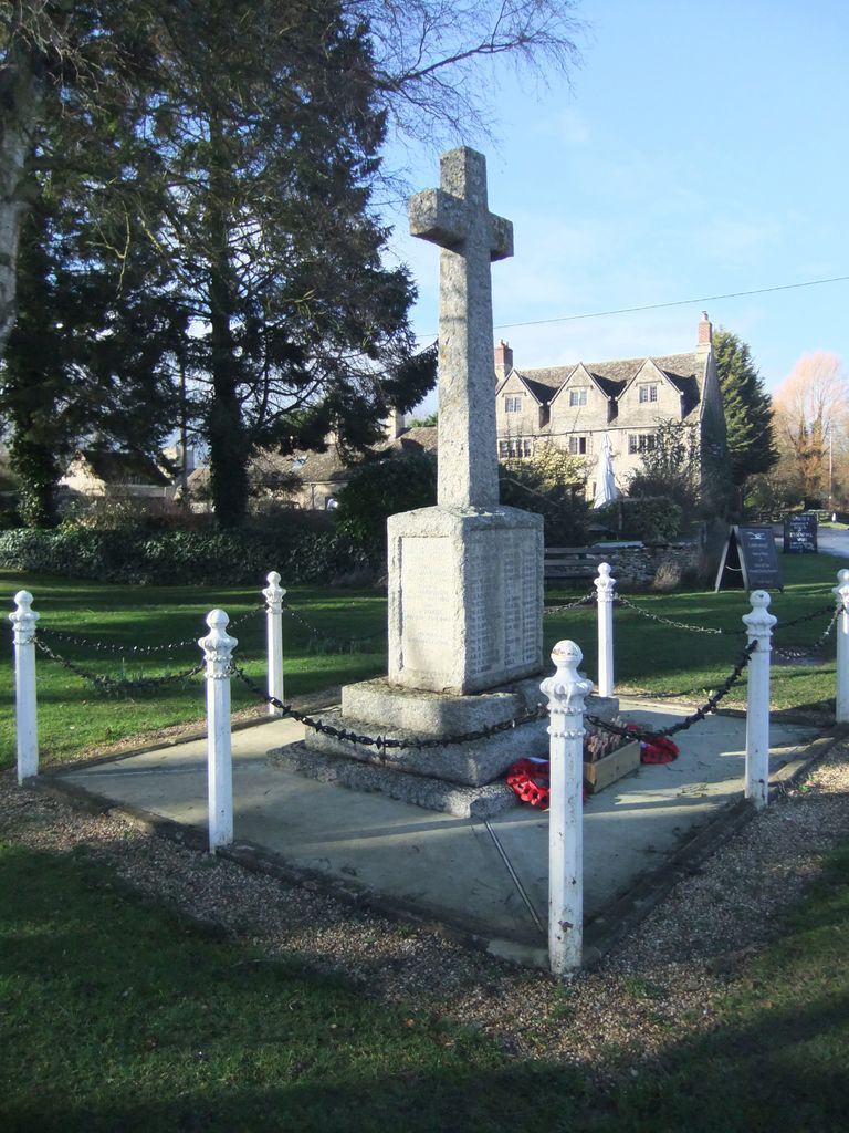
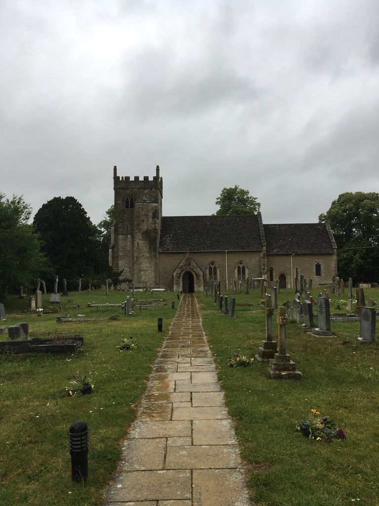
| Description | : | A 12th century church. In the centre of the village a Green and a WAR MEMORIAL, behind this is Pound Lane. The Churchyard has ONE WW1 Grave |
frequently asked questions (FAQ):
-
Where is St. Stephen's Churchyard?
St. Stephen's Churchyard is located at Pound Lane Clanfield, West Oxfordshire District ,Oxfordshire , OX18 2PAEngland.
-
St. Stephen's Churchyard cemetery's updated grave count on graveviews.com?
27 memorials
-
Where are the coordinates of the St. Stephen's Churchyard?
Latitude: 51.7174060
Longitude: -1.5911740
Nearby Cemetories:
1. Saint Mary's Churchyard
Black Bourton, West Oxfordshire District, England
Coordinate: 51.7360520, -1.5864600
2. St. Peter's Churchyard
Alvescot, West Oxfordshire District, England
Coordinate: 51.7392910, -1.6046704
3. St. Mary the Virgin Churchyard
Bampton, West Oxfordshire District, England
Coordinate: 51.7278250, -1.5487270
4. Bampton Cemetery
Bampton, West Oxfordshire District, England
Coordinate: 51.7296400, -1.5490200
5. Saint Matthew's Churchyard
Langford, West Oxfordshire District, England
Coordinate: 51.7209390, -1.6405280
6. St Georges Churchyard
Kencot, West Oxfordshire District, England
Coordinate: 51.7407160, -1.6330900
7. Church of Saint Michael and All Angels
Eaton Hastings, Vale of White Horse District, England
Coordinate: 51.6852000, -1.6212000
8. St. George's Churchyard
Kelmscott, West Oxfordshire District, England
Coordinate: 51.6925550, -1.6408780
9. St Peter's Churchyard
Filkins, West Oxfordshire District, England
Coordinate: 51.7358700, -1.6578250
10. St. Britius Churchyard Extension
Brize Norton, West Oxfordshire District, England
Coordinate: 51.7660800, -1.5662600
11. St. Britius Churchyard
Brize Norton, West Oxfordshire District, England
Coordinate: 51.7662000, -1.5667000
12. St. Margaret's Churchyard
Little Faringdon, West Oxfordshire District, England
Coordinate: 51.7109400, -1.6739760
13. Littleworth Cemetery
Littleworth, Vale of White Horse District, England
Coordinate: 51.6722500, -1.5492500
14. St. James the Great Churchyard
Aston, West Oxfordshire District, England
Coordinate: 51.7252620, -1.5059510
15. Holy Trinity Church
Witney, West Oxfordshire District, England
Coordinate: 51.7726500, -1.6142050
16. Holy Rood Churchyard
Shilton, West Oxfordshire District, England
Coordinate: 51.7726519, -1.6142058
17. All Saints Churchyard
Faringdon, Vale of White Horse District, England
Coordinate: 51.6595730, -1.5839770
18. Faringdon Nonconformist Cemetery
Faringdon, Vale of White Horse District, England
Coordinate: 51.6576700, -1.5907200
19. Cote Baptist Chapel
Cote, West Oxfordshire District, England
Coordinate: 51.7254430, -1.4929510
20. Buscot Park
Faringdon, Vale of White Horse District, England
Coordinate: 51.6684973, -1.6518000
21. St. Mary's Churchyard
Buscot, Vale of White Horse District, England
Coordinate: 51.6815710, -1.6736770
22. St Mary Churchyard
Buckland, Vale of White Horse District, England
Coordinate: 51.6819730, -1.5060150
23. St George Roman Catholic Churchyard
Buckland, Vale of White Horse District, England
Coordinate: 51.6804300, -1.5068720
24. St John The Baptist
Curbridge, West Oxfordshire District, England
Coordinate: 51.7764570, -1.5203140